Circles in a Row – Who Wore It Best?
I like traffic circles. Especially bigger ones with mature trees. But I also find that one random circle is generally not quite enough to make an otherwise car-centric street a welcoming safe place to bike and walk. So I like it when cities line up multiple circles in a row.
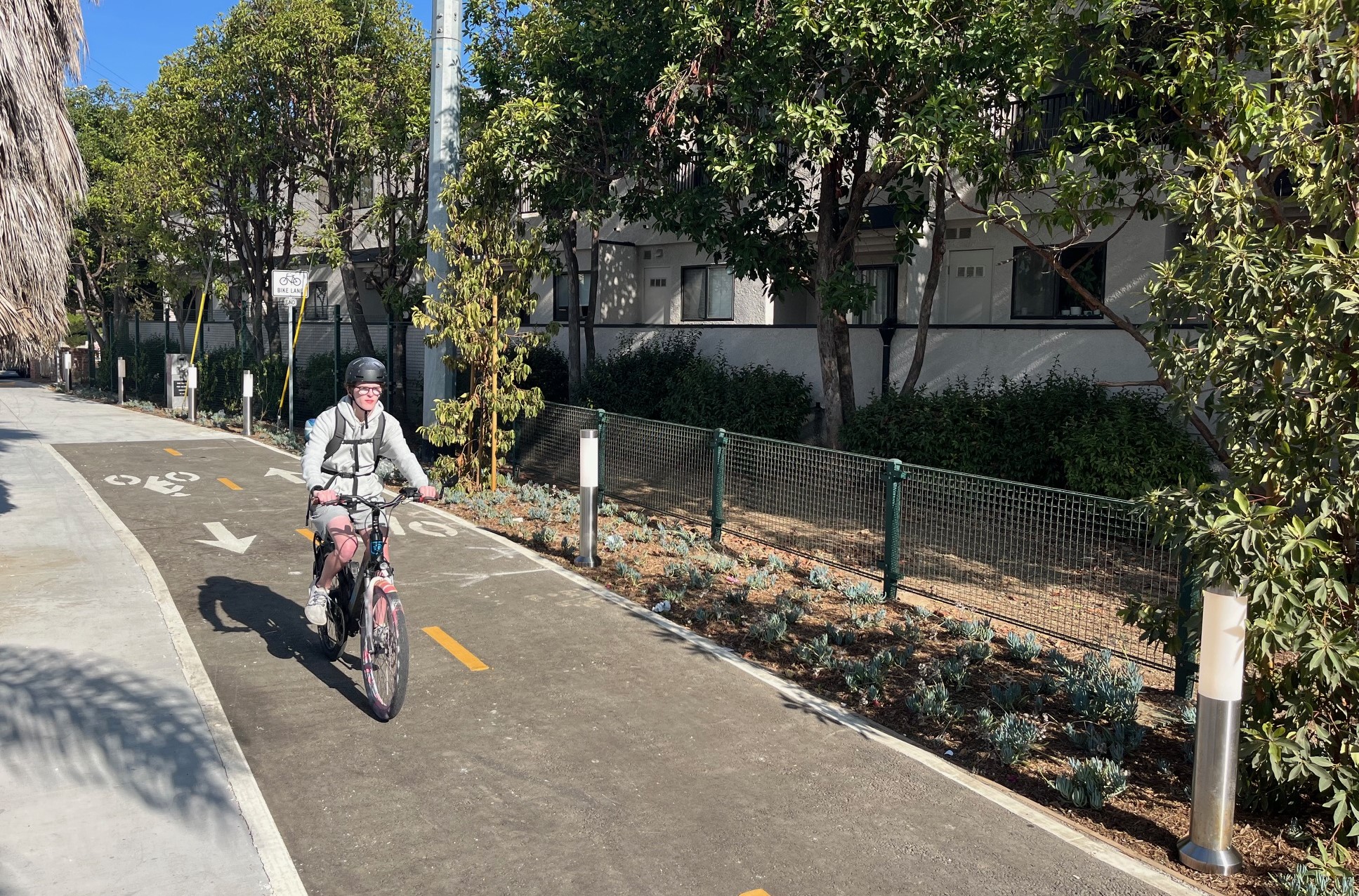
I will bike pretty much anywhere, but I prefer to bike on quieter streets. Some of the best examples of these traffic-calmed streets combine circles with other calming features, like diverters/modal filters. These calmed-corridor bike/walk-friendly streets go by a few names; they’re typically called bicycle boulevards or neighborhood greenways. These are relatively quiet streets safely shared by cyclists, pedestrians, and drivers – where cities have taken steps to calm traffic and prioritize walking and bicycling.
Several Southern California cities line up traffic circles in a row to create these sorts of calmed corridors. These are all worthwhile, but not all circles-in-a-row facilities are created equal.
Below is my subjective report card on how cities have lined up traffic circles – and combined them with additional features – to facilitate streets that welcome bicycling and walking.
Two caveats:
- There is a difference between a traffic circle [generally larger, turn to exit] and a roundabout [smaller, go straight ahead to exit]. It’s lazy, but I use these terms interchangeably. Nearly all the facilities in this post are small roundabouts.
- I didn’t give any flat out A or A+ because even the best of these facilities still feel somewhat car-centric.
Santa Monica: A-
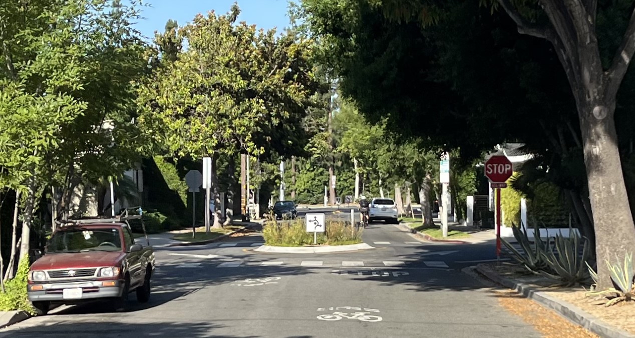
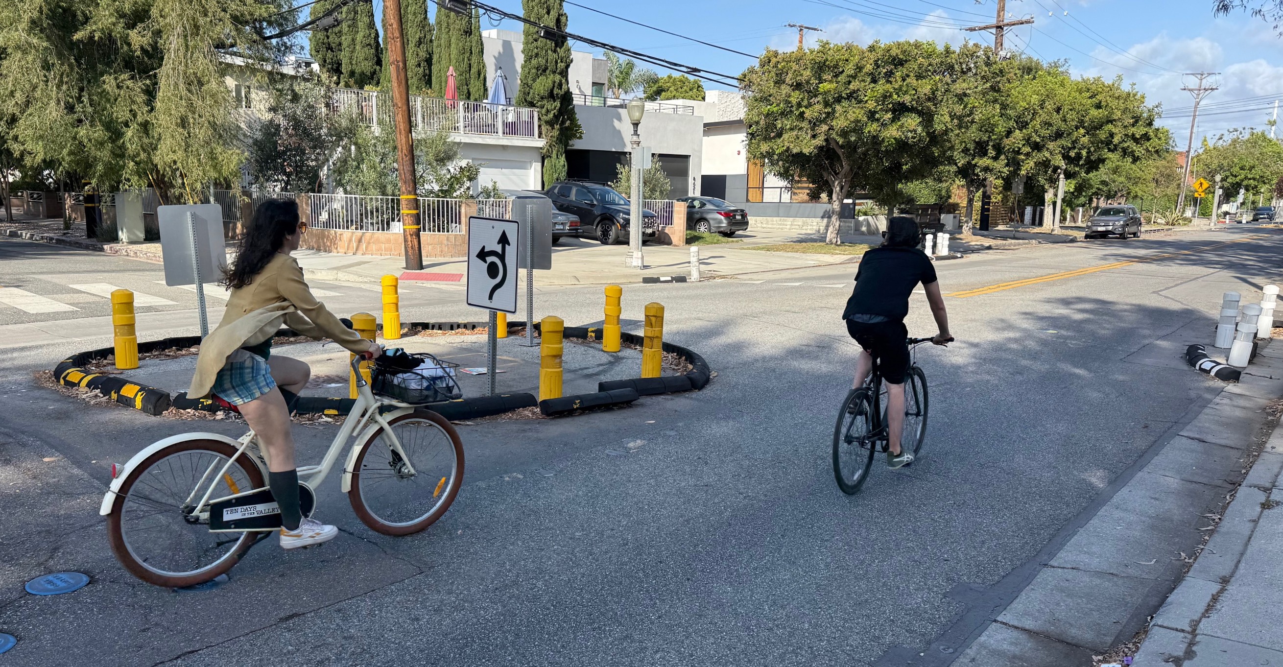
I think that the most successful Southern California circles-in-a-row facility is Santa Monica’s Michigan Avenue Neighborhood Greenway, called MANGo.
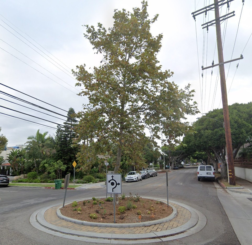
I remember thinking early on (at the time of this 2016 Streetfilm) that the MANGo mini-roundabouts felt small, ineffective. But lately (see last month’s short SBLA ride-through video), the ride feels much improved.
There are more circles, the sycamore trees are now a couple stories tall, and the city greatly improved the east end of the project by adding a strategic 700-feet long bike path/lane connection to get cyclists safely over the 10 Freeway.
The city opened its initial basic version of MANGo in 2015. Three subsequent projects – in 2017, 2023 (17th Street) and 2024 (20th Street) – added more features, including great bike network connections to the Metro E Line and to Santa Monica College. There are longer-term plans to continue to extend MANGo further east and west.
- Location: Michigan Avenue from 7th Street to 20th Street (with short extensions on 7th and 20th)
- Length: ~1.2 miles
- Features: 6 mini-roundabouts – plus short stretches of bike path, protected bike lane, curb extensions, signage
- More information: City website, Santa Monica Spoke 2013 preview, SBLA 2023 overview.
Long Beach: B+
Long Beach has lots of traffic circles, and at least a half-dozen streets with multiple circles lined up – including 6th Street, Daisy Avenue, Linden Avenue, Myrtle Avenue, and Vista Street.
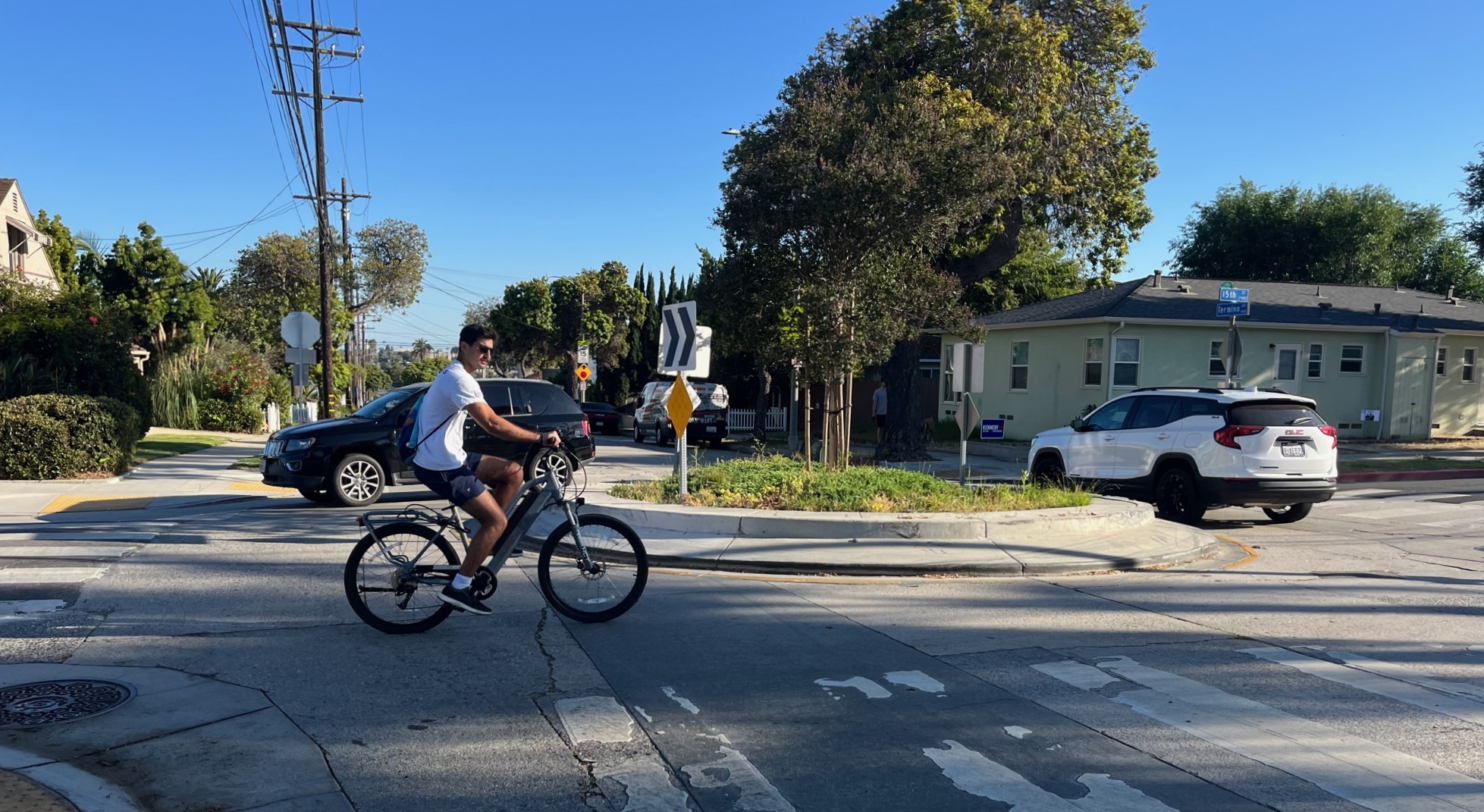
For this post I picked 15th Street Bicycle Boulevard, which features six circles in just over two miles. Watch this short SBLA video to get some sense for 15th Street.
A mile or so inland from the beach, Long Beach has several bike-unfriendly east-west arterials (even I avoid biking on 7th Street and Pacific Coast Highway). My take is that 15th Street serves as a viable safe quiet way get from one side of the city to the other. The small circles combine with one modal filter (bikes and peds use a 100-foot long path across an old rail right-of-way, where drivers have to go around), flashing-light crosswalks, and fairly good connections to other bikeways.
Where I think 15th falls a little short is its west end (near downtown). Circles become rarer and the street feels more car-centric. Where 15th ends, the city did some sharrows heading into downtown, but the bikeway sort of peters out near the A Line, without quite making a good connection to it.
- Location: 15th Street from Lewis Avenue to Ximeno Avenue (east of Lewis, the route somewhat continues on New York Street and 14th Street)
- Length: ~2.25 miles on 15th
- Features: 6 mini-roundabouts – plus one modal filter, three flashing beacon crossings, signage
- More information: Long Beach bike map, SBLA 2024 LB circles post
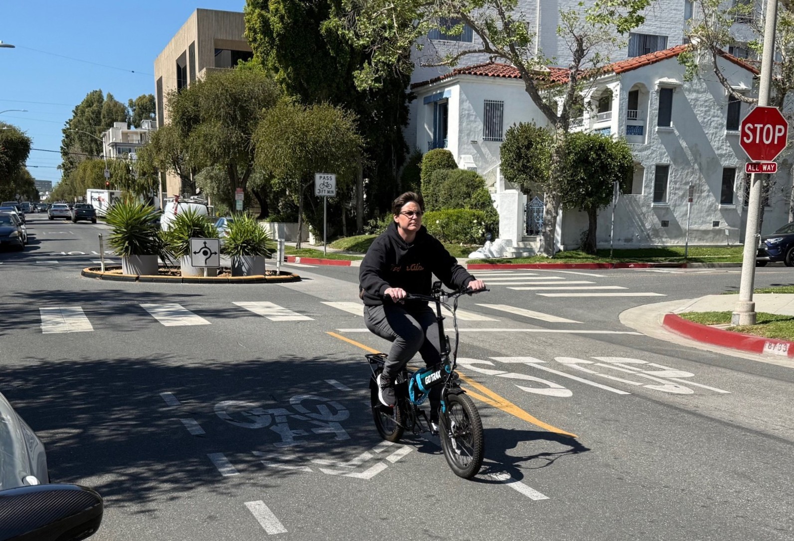
West Hollywood: B
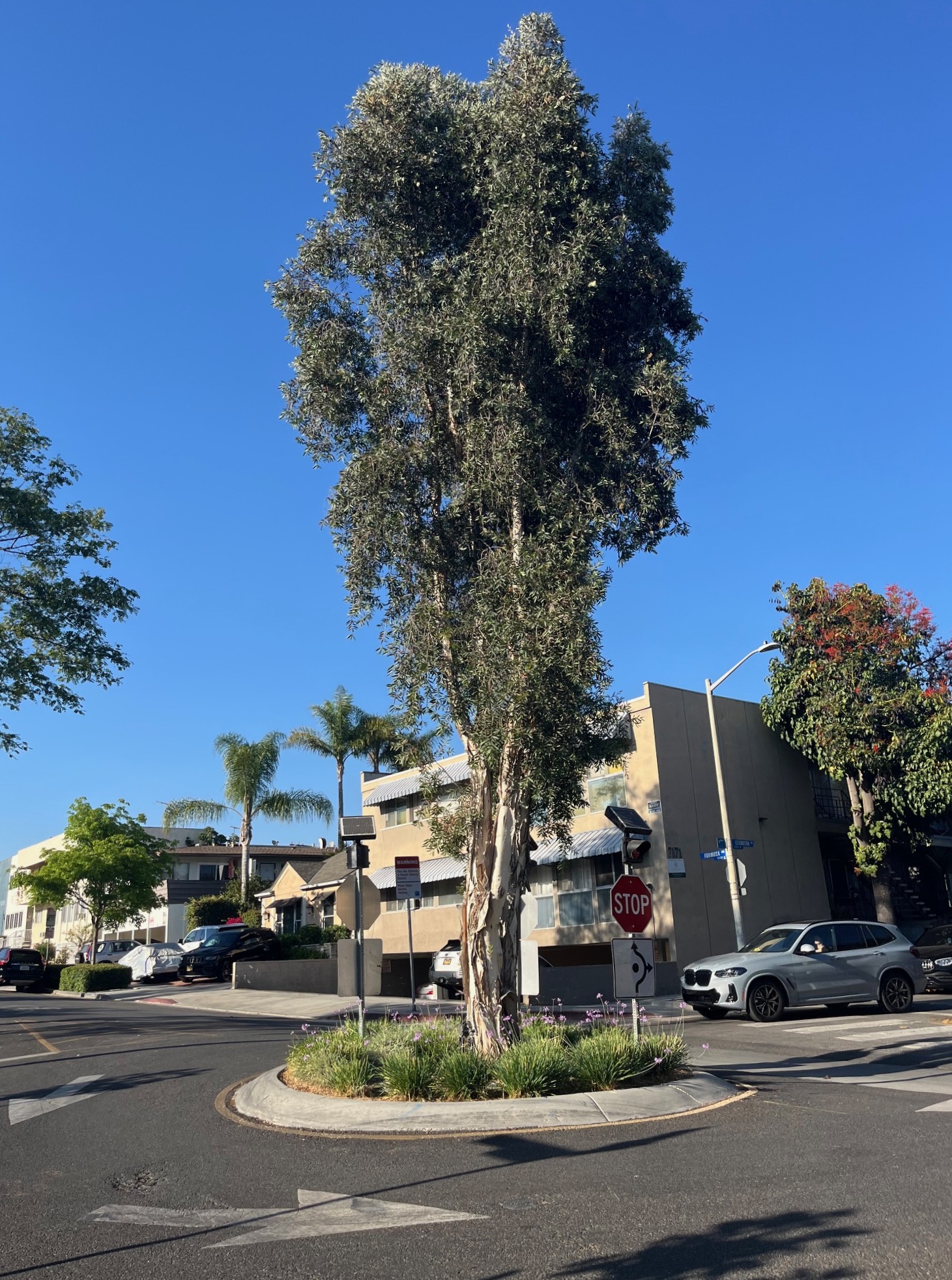
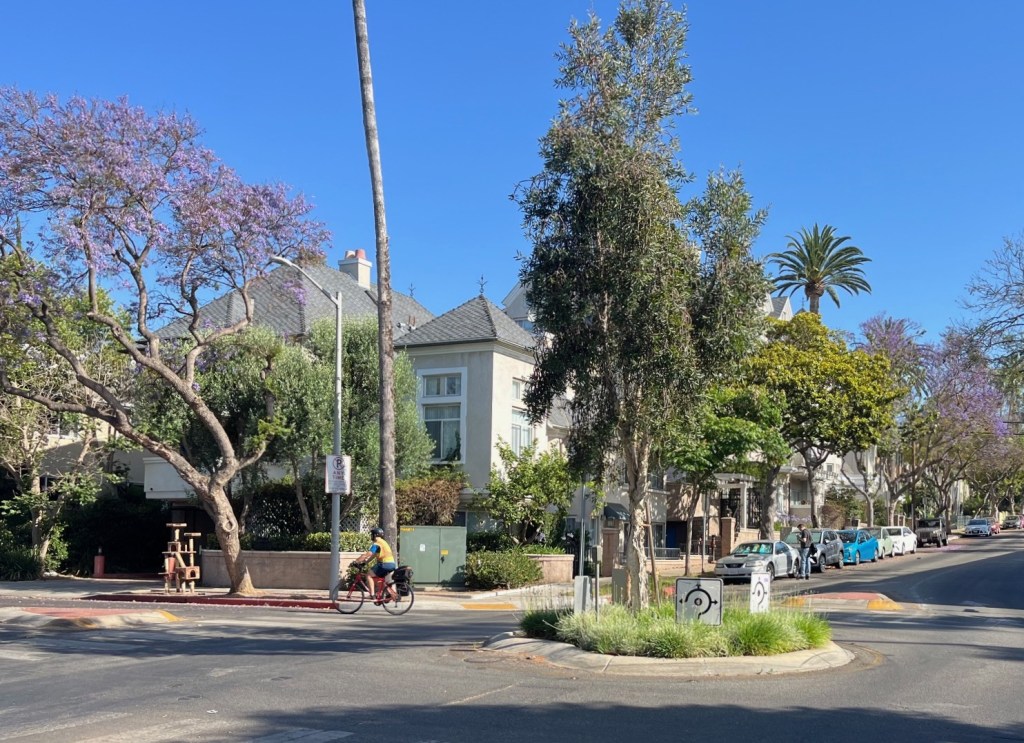
It’s difficult to find a West Hollywood circle that isn’t lined up with at least one other circle (I think there’s only one solo circle). Multi-circle WeHo streets include: Almont Drive, Lexington Avenue, Norton Avenue, Rosewood Avenue, and Sherwood Drive.
Many WeHo circles were first installed as quick-build temporary traffic calming. Then the city converted them to permanent concrete circles with landscaping; most include at least one tree. Many of those trees were planted about two decades ago, and now they’re wonderfully tall and formidable.
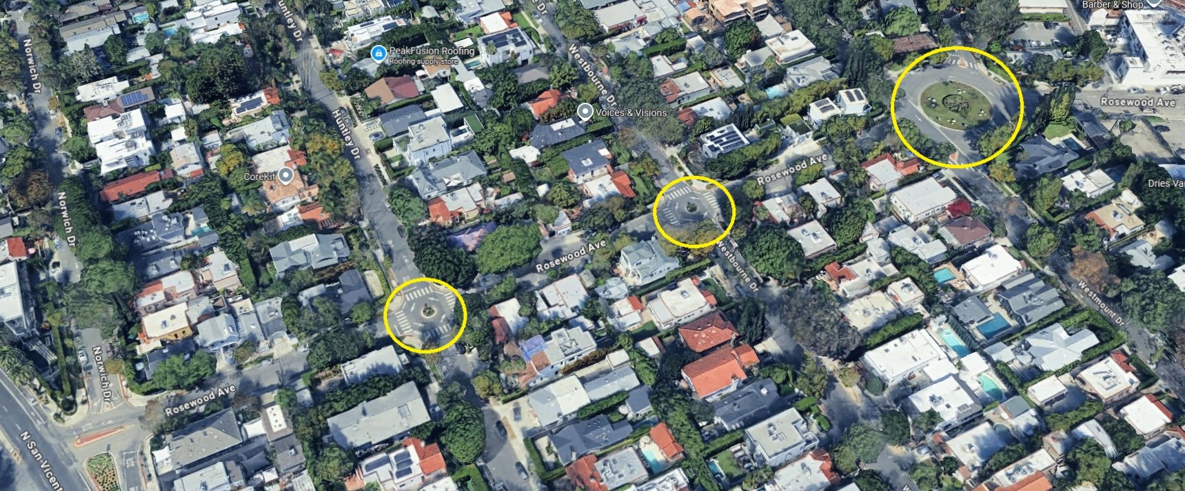
For this post, I picked Rosewood Avenue, where West Hollywood added two new mini-roundabouts in line with an existing 80-foot diameter traffic circle.
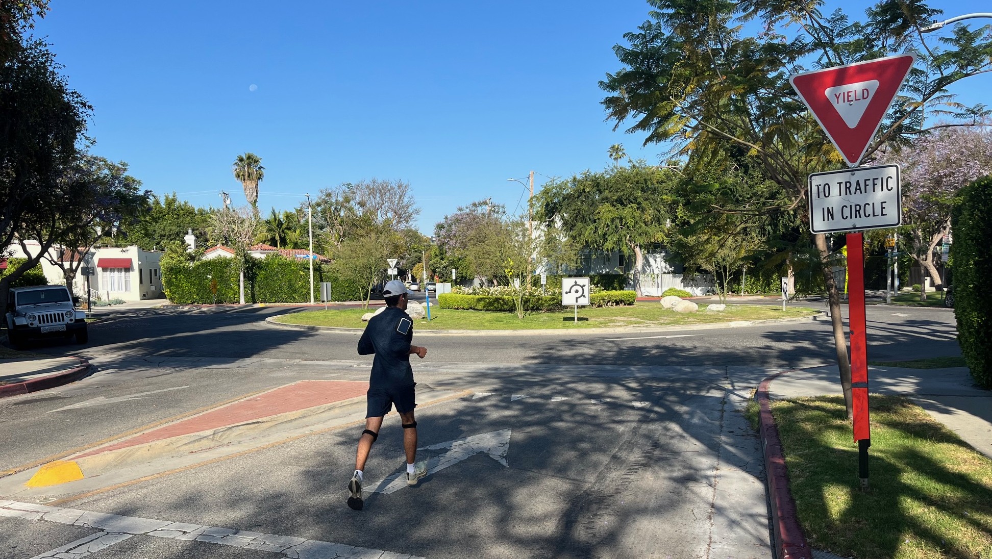
Where Rosewood ends into busier San Vicente, the city installed a bike/ped friendly crossing, with plenty of bright green pavement.
The main problem that West Hollywood’s traffic calmed streets have is that they’re too short. These calm streets end, leaving cyclists and pedestrians to fend with fairly heavily trafficked streets to cross.
Some of this is not West Hollywood’s fault; the city is only two square miles, so I ride a ways down one quiet WeHo street and I end up in a more car-centric place like Los Angeles or Beverly Hills (see both below). Some WeHo calmness is inspiring its neighbors, as L.A. is now calming Rosewood east of WeHo.
- Location: Rosewood Avenue from San Vicente Boulevard to La Cienega Boulevard
- Length: 0.25 miles (4 blocks)
- Features: two mini-roundabouts – plus one historic traffic circle, and one flashing beacon crossing
- More information: Rosewood construction notice, SBLA 2024 post
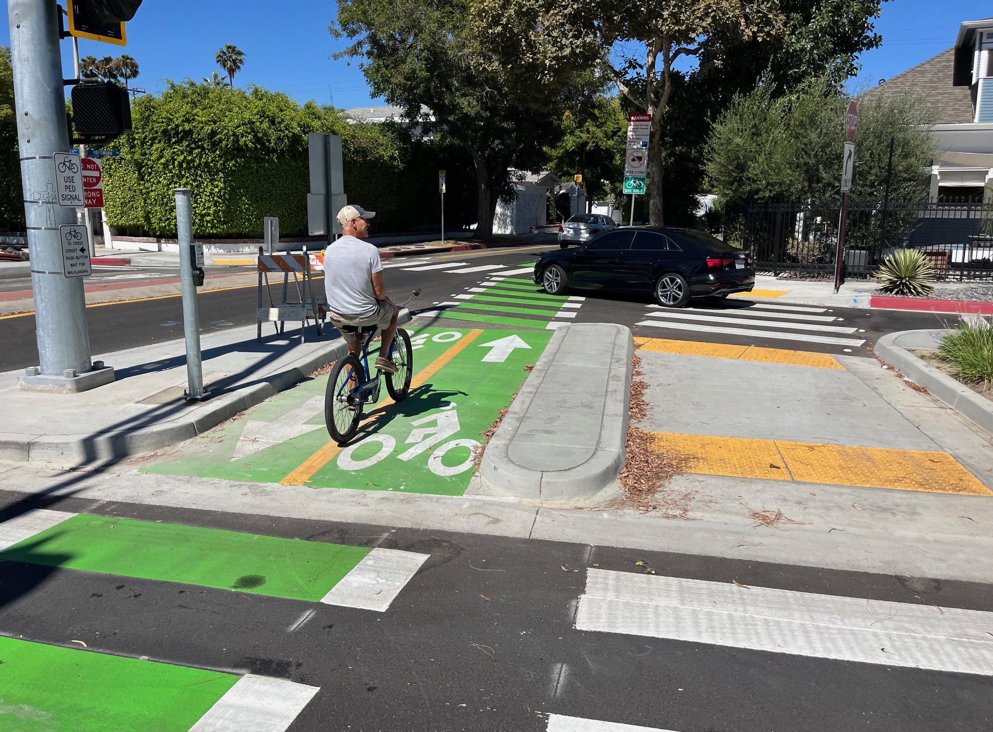
Culver City: B
Culver City lined up a half-dozen mini-circles on Higuera Street.
The Higuera circles are good, but I want to like them better than I do.
I acknowledge that Higuera is not an easy street to “fix.” It’s one of few through streets in an area with several barriers, both natural (Ballona Creek, the Baldwin Hills) and manmade (the Metro E Line, industrial development). It carries a fair amount of traffic, but it’s not a big street. Its width varies – in some places it’s 30 feet wide (the So Cal default for a small residential street is 40 feet). Parts of Higuera are residential; some of it forms a border between an industrial area and single family homes.
Maybe there’s some Fire Department opinion against this, but Culver’s Higuera circles feel a bit too small in diameter. To really calm traffic, circles have to deflect cars, forcing drivers to drive a curved trajectory (slower than a straightaway). Almost any circle results in some calming, but when I see these Higuera circles, I think they should be a few feet larger to really make a difference.
Culver City has done worthwhile projects on both sides of Higuera. North of Washington Boulevard, Higuera turns into larger Robertson Boulevard where Culver City installed high quality bikeway connections to the Metro E Line Station. Cyclists use Higuera to access the Ballona Creek path via an entry point that opened in 2023. Culver City is planning additional traffic calming in the area.
- Location: Higuera Street from Washington Boulevard to Hayden Avenue
- Length: 0.5 mile
- Features: 6 mini-roundabouts (5 permanent, 1 quick build) – plus a couple of blocks of concrete linear median islands, and a bike-unfriendly traffic diverter island (at Hayden Avenue).
- More information: Rancho Higuera Neighborhood Traffic Management Program
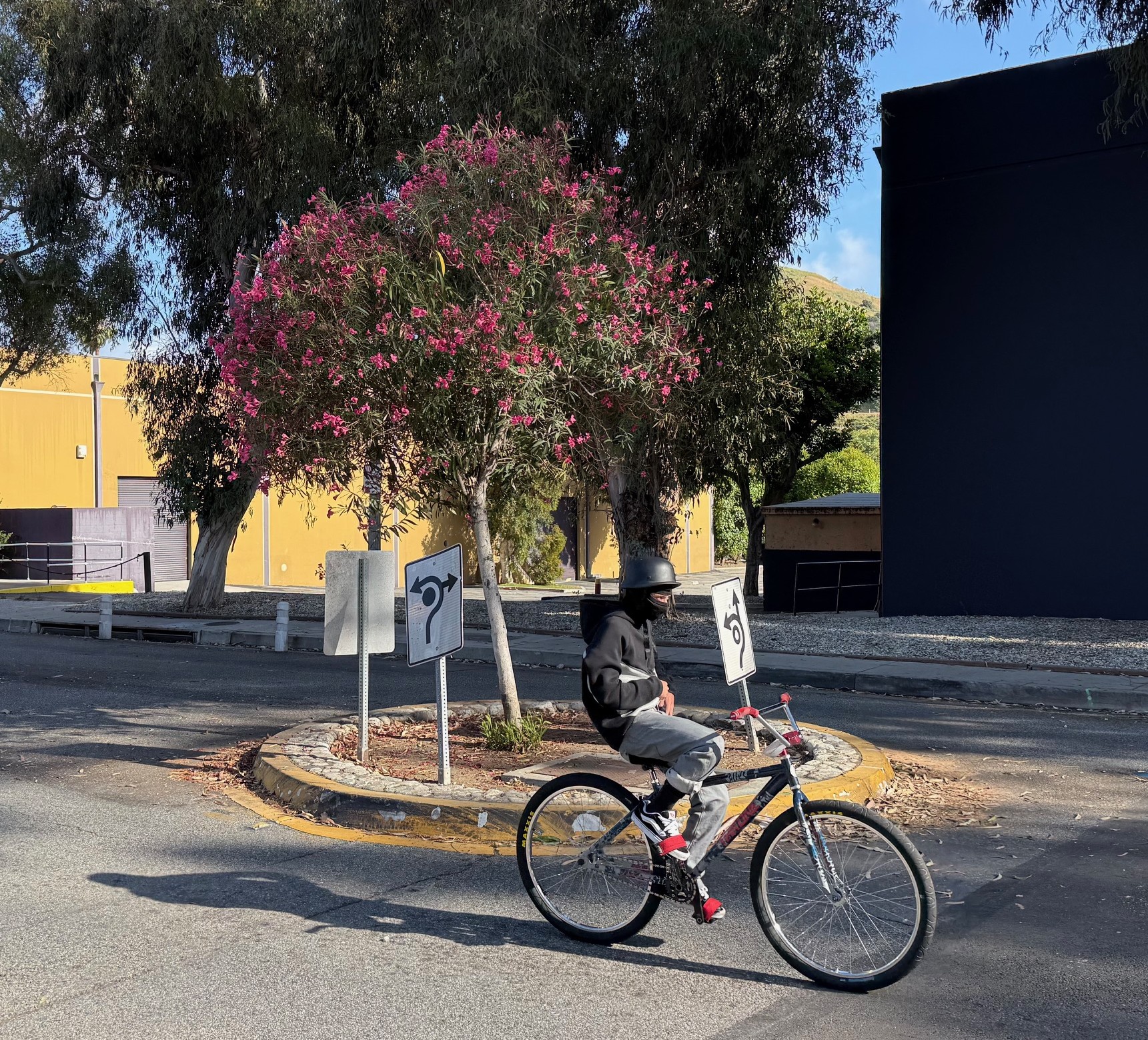
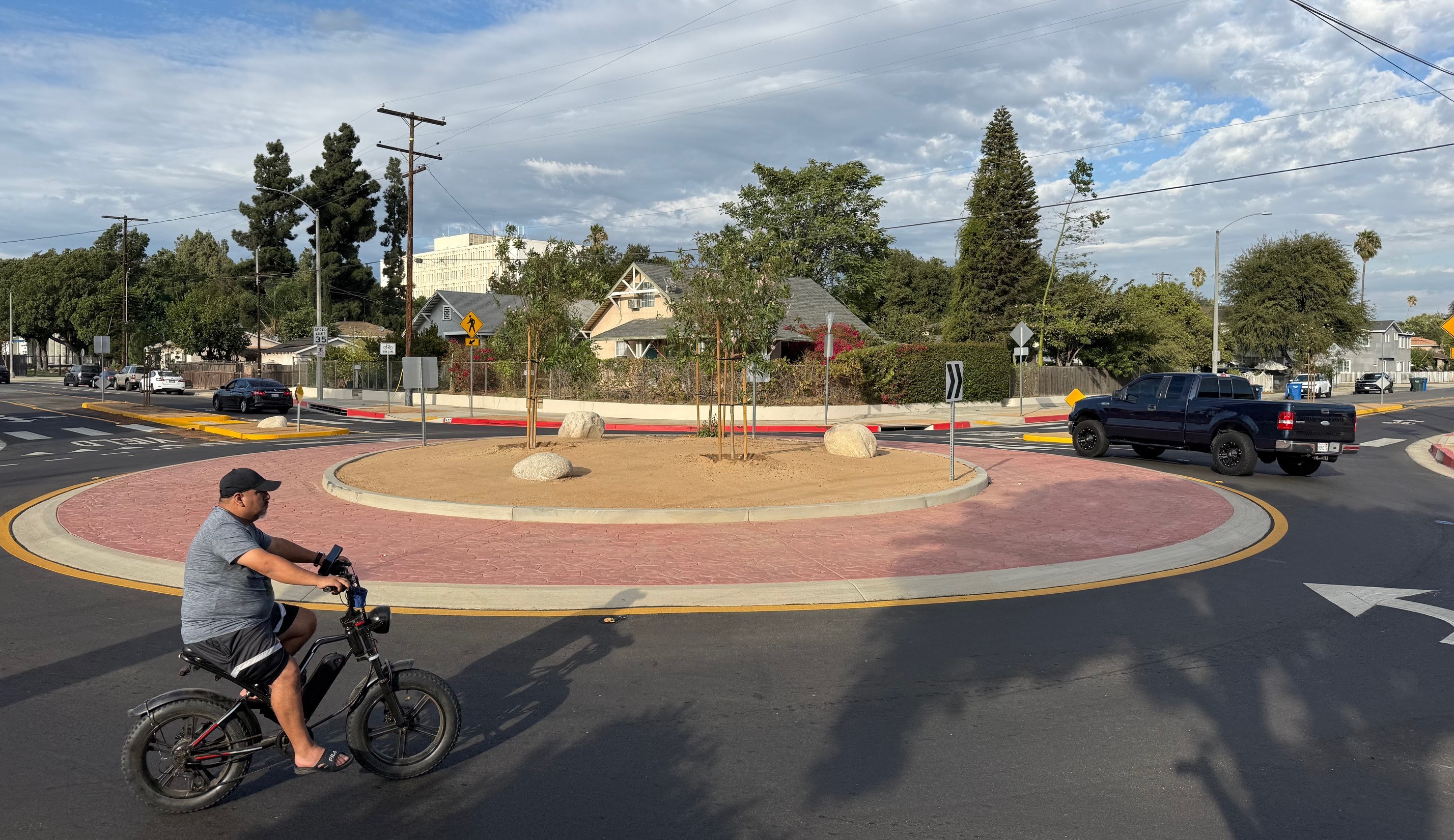
L.A. City: C
L.A. City has installed several substantial permanent concrete circles, but they remain mostly one-offs. I think they’re worthwhile but more is needed to really traffic-calm a corridor.
The city lines up multiple roundabouts in some places, but to my knowledge these are nearly all “quick-build” circles, mostly features of LADOT Slow Streets. I am OK with quick-build. Some cities – see West Hollywood above – started with quick-build circles, then went back in and made features more permanent. A quick-build circle that never gets more attention ends up feeling tentative. Drivers crash into and damage them. Often the city doesn’t maintain them. To me, an aging degraded quick-build traffic calming feature feels like it’s one election or one car crash (or even one street resurfacing) away from the city removing it entirely and just hoping nobody notices. As others have noted, damaged quick-build infrastructure (flattened plastic bollards) should point the city to where it needs to do install more effective, more permanent calming.
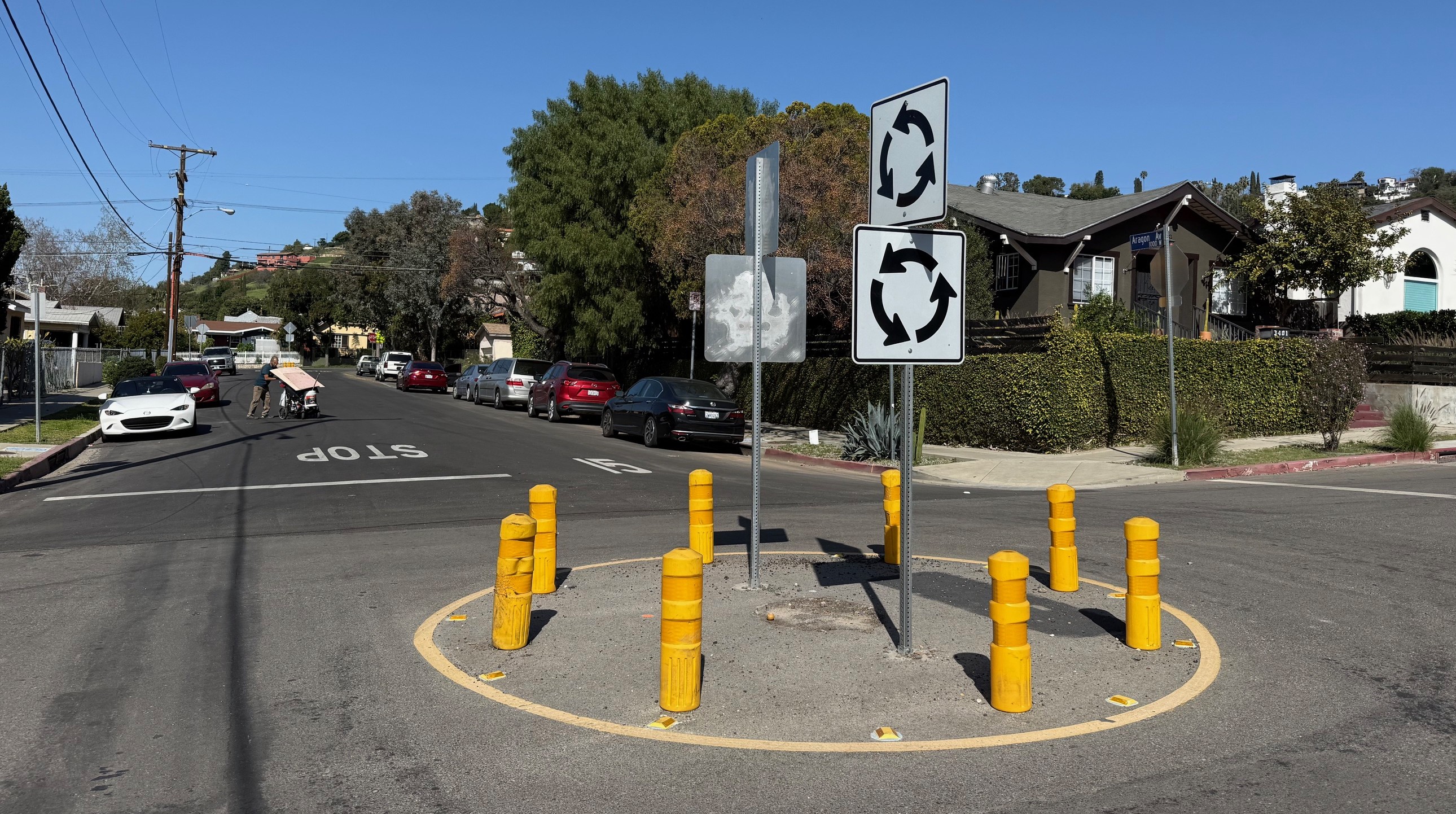
For L.A. City I chose Aragon Avenue – an LADOT Slow Streets installation. There are probably better circles-in-a-row examples in L.A. City (let me know in the comments), but Aragon feels typical. It features two quick-build mini-circles for about 2000 feet of calmed street.
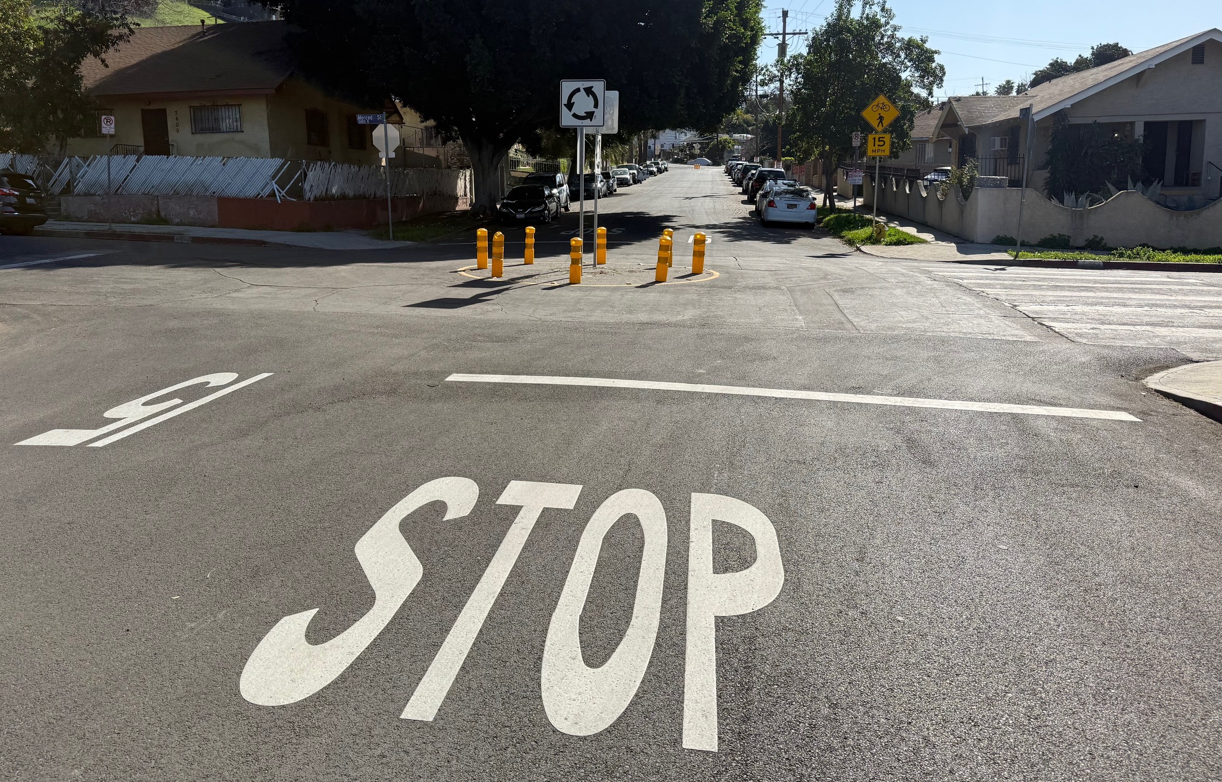
Aragon connects at one end to an elementary school, so it’s a good choice for traffic calming. But I think that the current circles read like the city telling pedestrians and cyclists, “you deserve cheap ineffective temporary facilities.”
I have higher hopes for promising under construction permanent Mid-City Greenway features and planned low-stress corridor projects.
I’d like L.A. City follow its own plan for traffic circles. The 2015 Mobility Plan approved the Neighborhood Enhanced Network: designated relatively quiet streets “that provide comfortable and safe routes for localized travel of slower-moving modes.” Maybe add more permanent circles where NEN streets intersect, and work their way along NEN streets from there. Combine with other traffic calming, especially modal filters.
- Location: Aragon Avenue from Pepper Avenue to Roseview Avenue, in Cypress Park
- Length: 0.4 miles
- Features: 2 quick-build mini-roundabouts – plus six small teardrop-shaped median islands (plastic bollards with 15mph sign), signage
- More information: LADOT Slow Streets webpage, fact sheet
Beverly Hills: C
In 2024, the city of Beverly Hills installed a series of traffic calming features on Clifton Way. The city did temporary installations, seeking feedback. Early temporary versions of the project featured sizable potted sycamore trees and painted curb extensions with plastic bollards and planters.
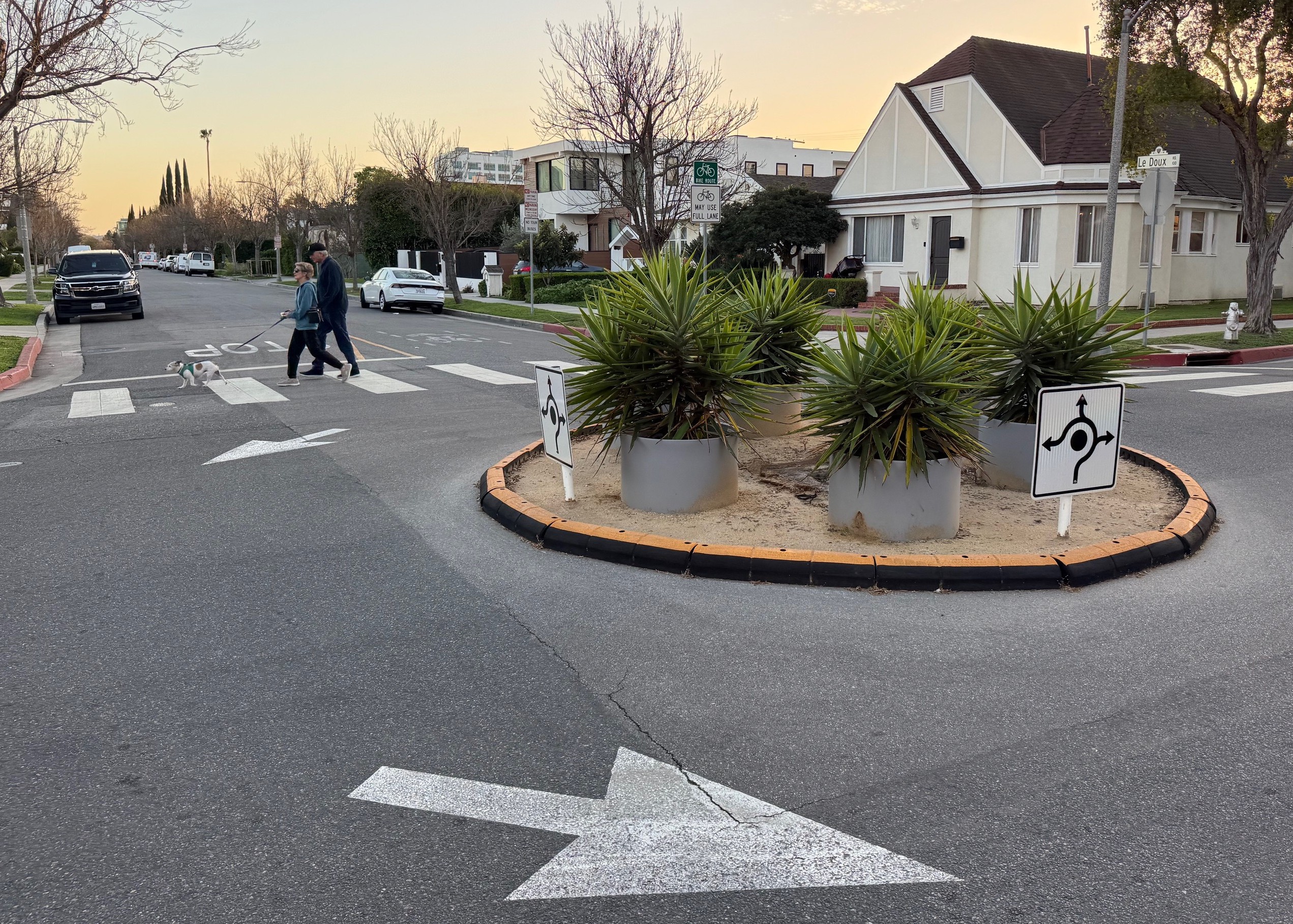
In December 2025, the City Council voted to remove the curb extensions, but leave the traffic circles. They’re sort of high-end quick-build. Temporary materials, but with a few inches of earth (perhaps decomposed granite) fill, and potted plants. After the opening of the Metro D Line subway stations (not this week’s opening, but when the full extension opens circa 2028), the city plans to evaluate next steps, including potentially making the temporary circles permanent.
Though some of the more ambitious calming appears dead, Clifton remains a relatively quiet alternative for bicycling through Beverly Hills. Hopefully someday the circles will become permanent.
- Location: Clifton Way from Robertson Boulevard to La Cienega Boulevard
- Length: 0.4 miles
- Features: 3 temporary mini-circles, lots of sharrows
- More information: Clifton-Le Doux Corridor Mobility Study webpage, Beverly Press coverage
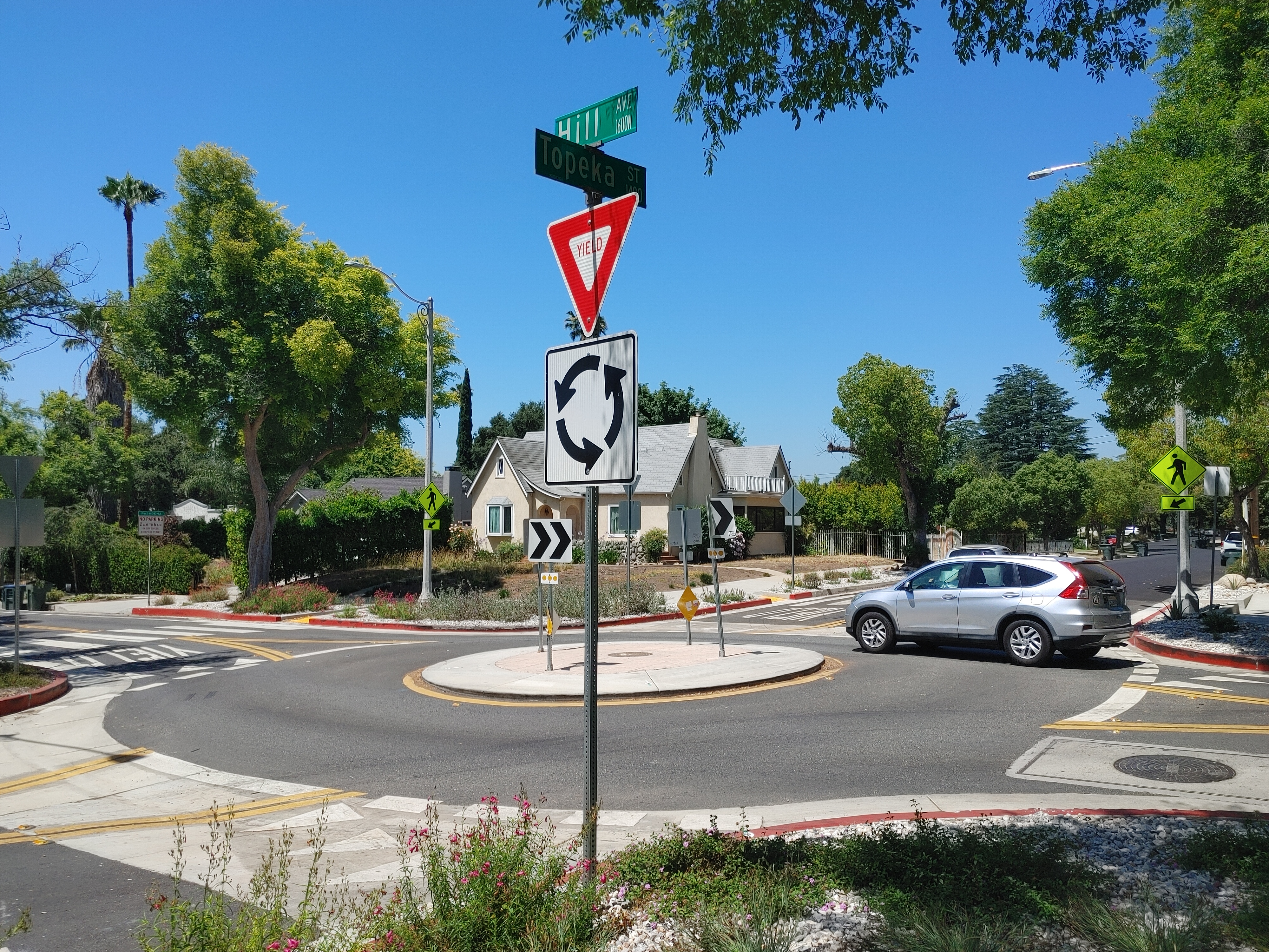
Honorable Mentions: Pomona and Pasadena
Last year Pomona installed three substantial (concrete, multi-tree) circles. Two are lined up on 9th Street, where the city added bike lanes.
Pasadena recently installed a couple of circles. The city has plans to line up two circles on Hill Avenue: the recent small sparse roundabout at Topeka Street and a future circle (or other calming) planned at Elizabeth Street.

Read More:
Streetsblog has migrated to a new comment system. New commenters can register directly in the comments section of any article. Returning commenters: your previous comments and display name have been preserved, but you'll need to reclaim your account by clicking "Forgot your password?" on the sign-in form, entering your email, and following the verification link to set a new password — this is required because passwords could not be carried over during the migration. For questions, contact tips@streetsblog.org.