Long Beach Leads in Traffic Circles
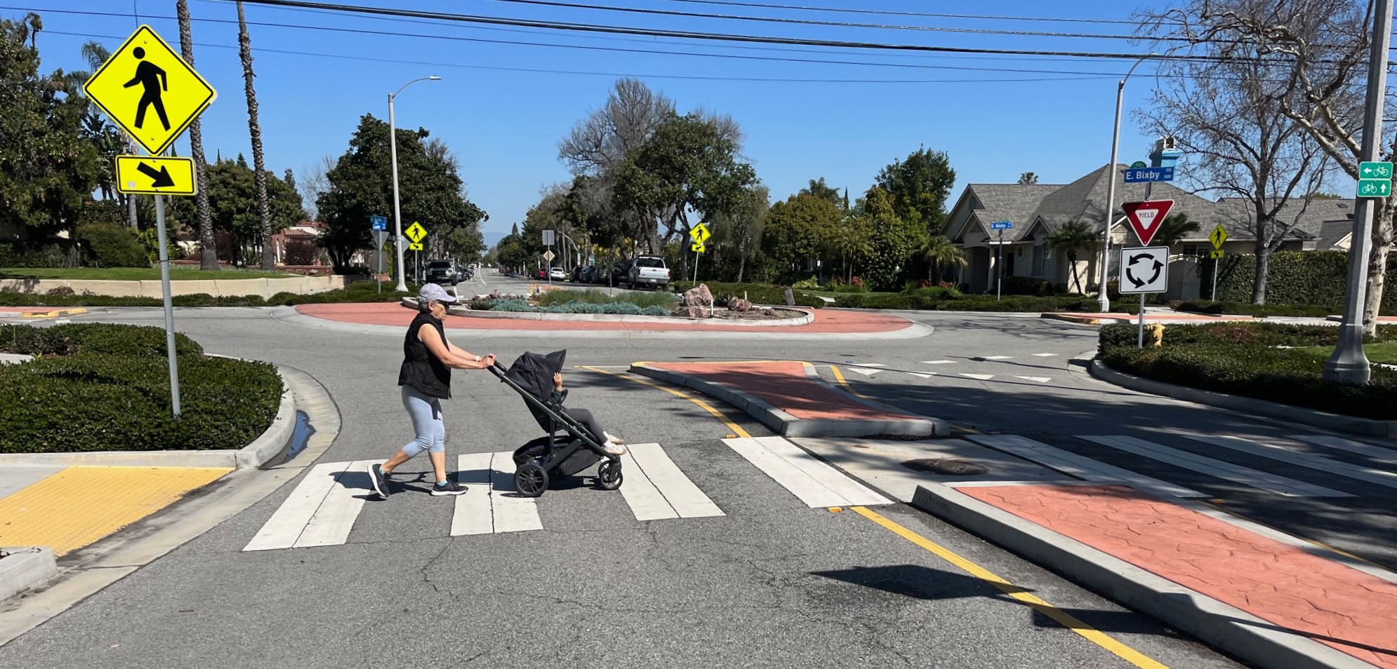
More than any other Southern California city, Long Beach does traffic circles. Lots of circles. The coastal city has long been a regional leader in green transportation; traffic circles are one oft-used tool in Long Beach’s traffic calming and place-making tool box.
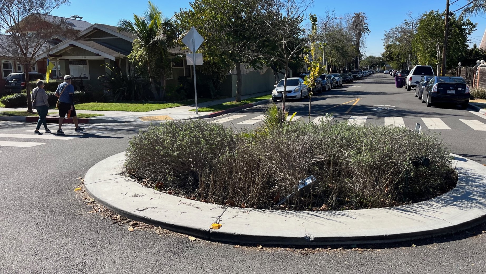
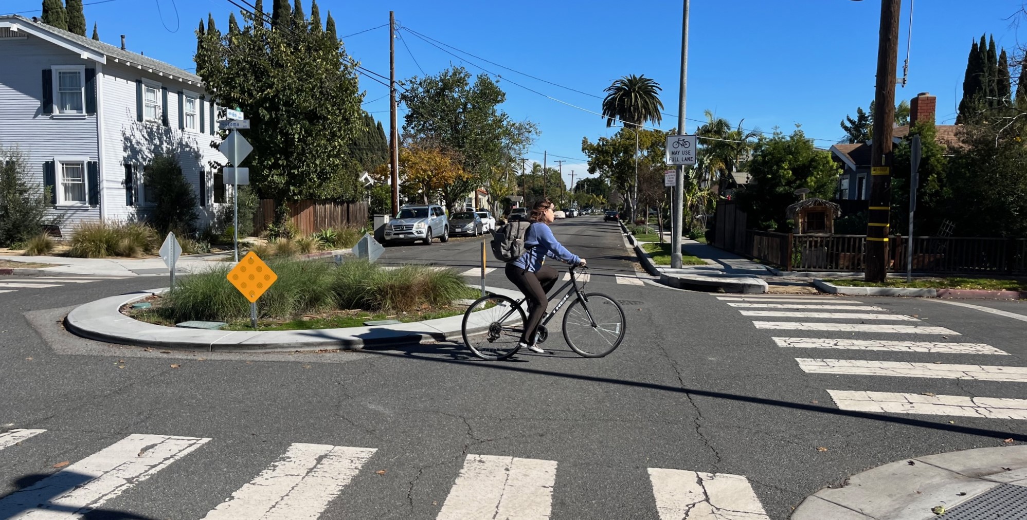
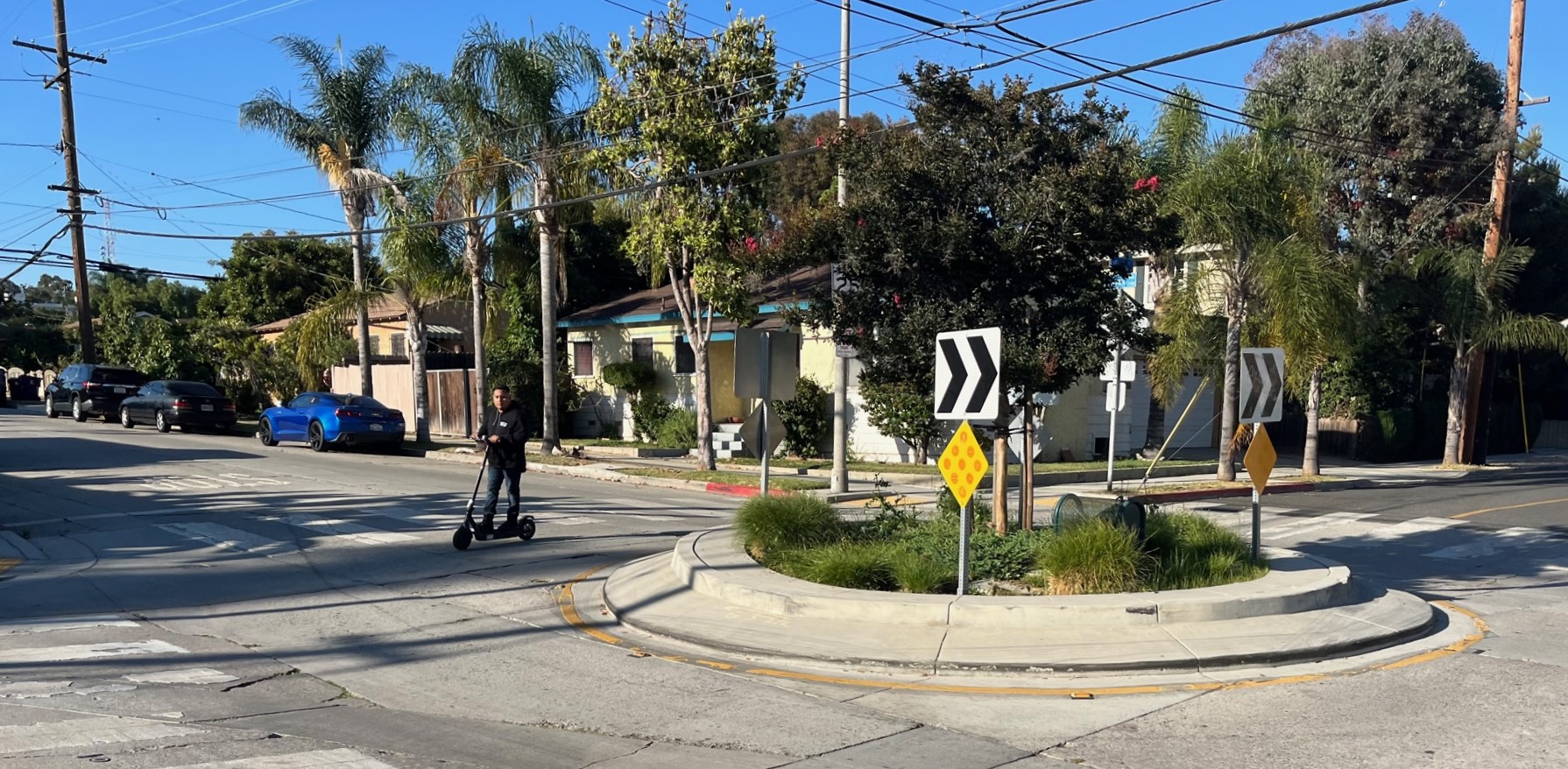
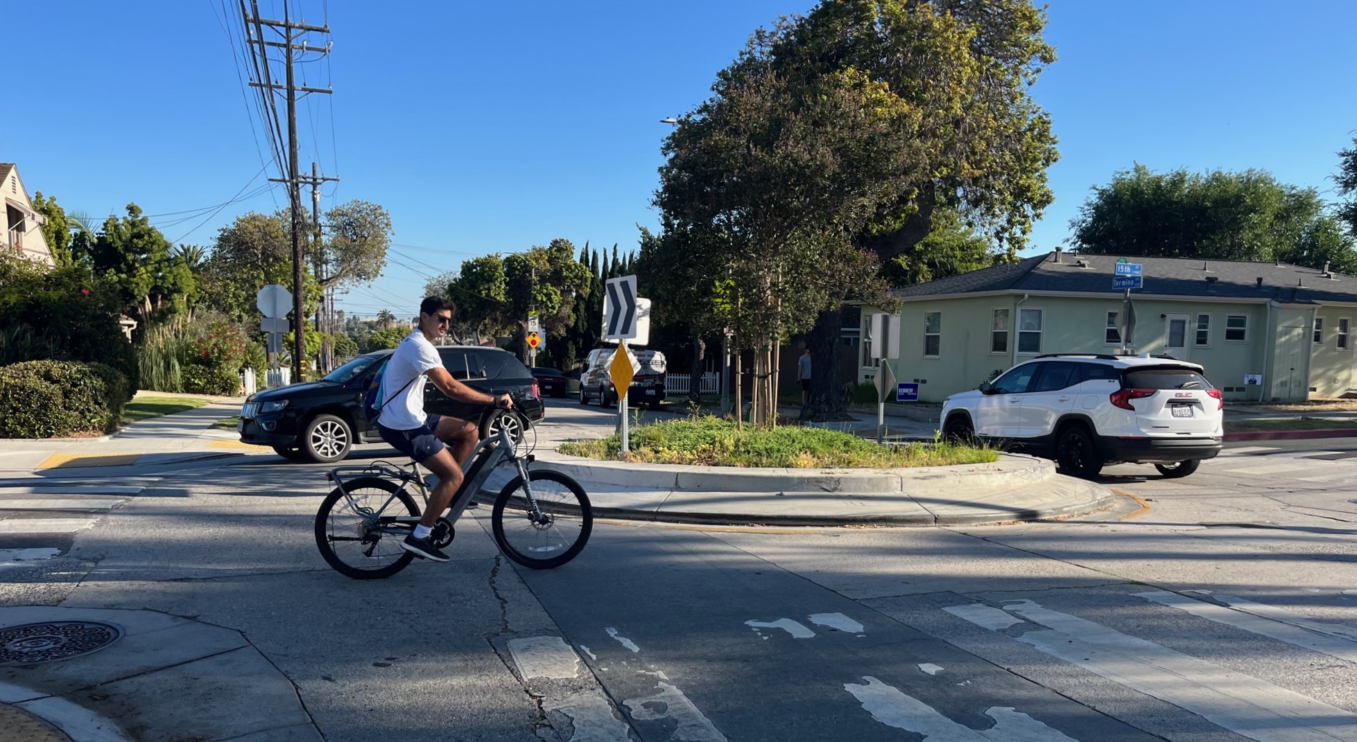
The city has nearly a hundred traffic circles, ranging from a few large-scale roundabouts to scores of small-scale mini raised planters that improve neighborhood intersection safety.
Circa 2008-2009, Long Beach stepped up its livable transportation efforts, especially bikeway implementation. There is still a lot of work to do (many parts of the city remains car-centric), but for a decade-plus, Long Beach has consistently been among the top one or two most bike-friendly L.A. County cities.
Long Beach leadership is responsible for notable sustainable transportation firsts, including the county’s first protected bike lanes, first outdoor dining parklets, first bike boxes, first large-scale municipal bike rack program (including the first bike corrals and first attended bike parking station), first bicycle boulevard (now called a neighborhood greenway), early bike-share (the county’s second and longest-lasting smart-bike system), and the first contemporary-era light rail in the Metro A Line (in 1990, then the Blue Line). Long Beach has continued to add and upgrade walk, bike and transit facilities, often through benefits agreements where development pays for improvements.
Long Beach currently leads the county in curb-protected bike lane mileage. It hosts regular Beach Streets open streets events. In addition to Metro service, Long Beach is home to the county’s highest ridership municipal bus agency (Long Beach Transit, with over 53,000 daily boardings).
And Long Beach has built lots of traffic circles.
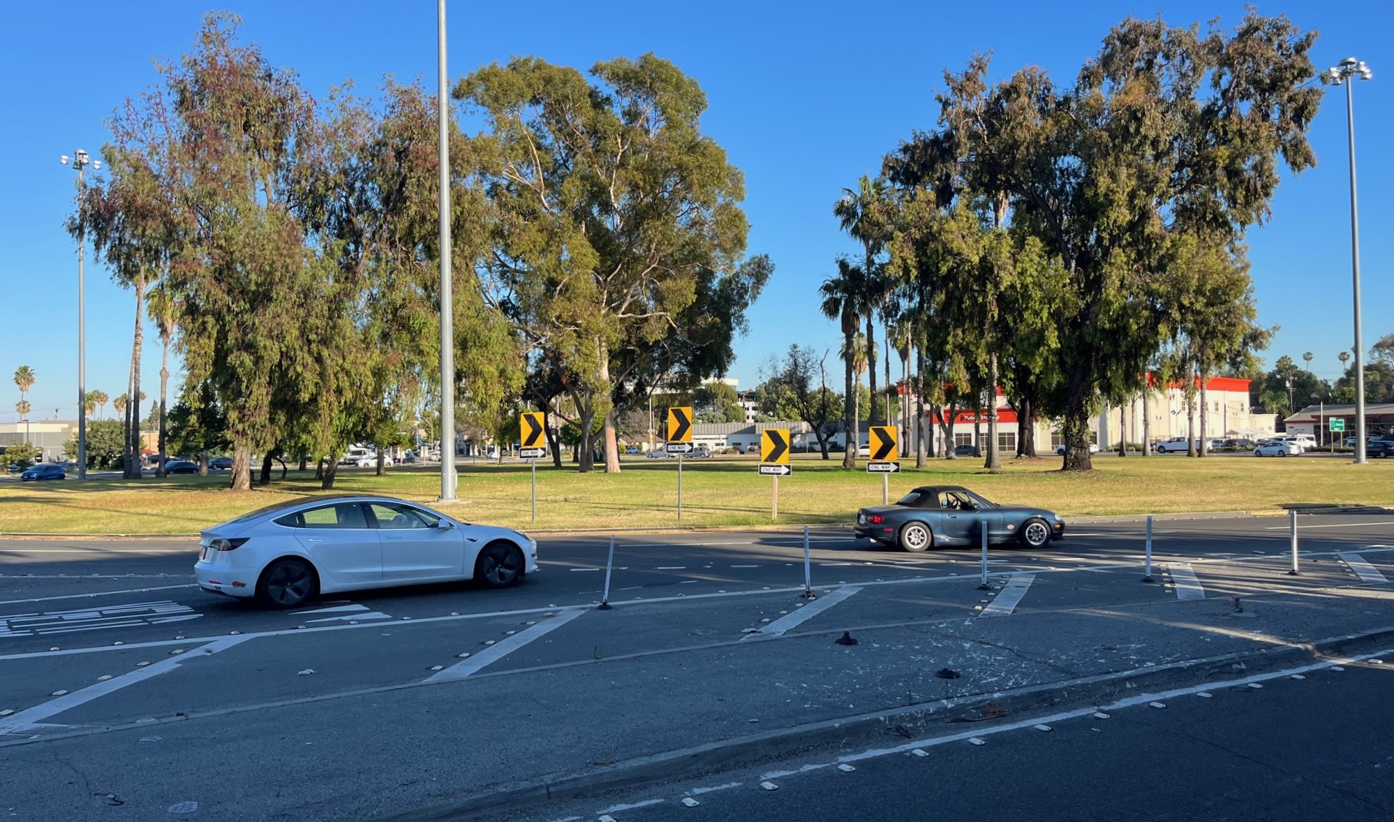
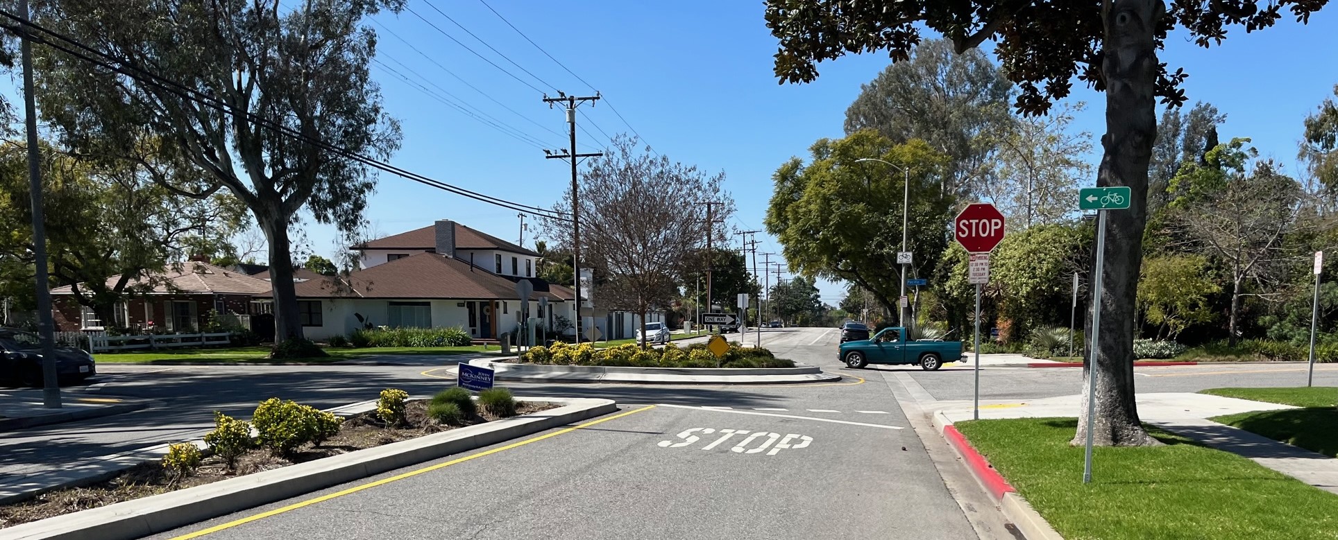
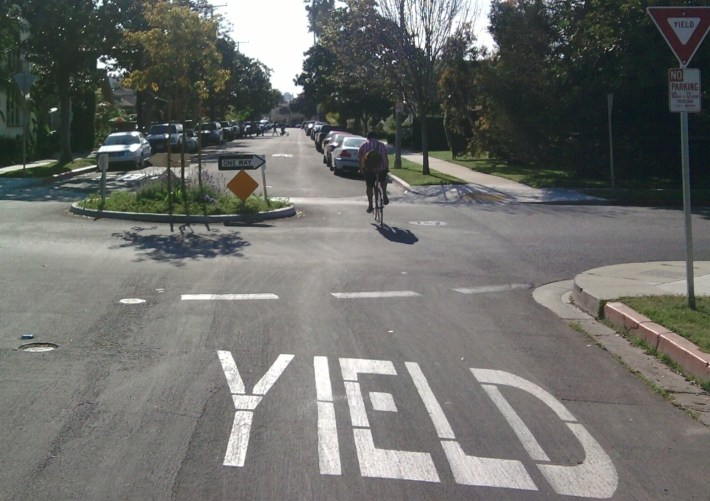
LongBeachIze Editor Brian Addison wrote of the city’s circles: “They’re great, except they’re not all consistent with the hard stops and yields.” Some of the circles include stop signs; some direct people entering to yield to others already in the circle. Addison stated that the traffic circles would be more effective if they were all yields, like the one at 6th Street and Park Avenue.
Car-Lite Long Beach‘s Matt Wehner also offered qualified support for the circles, writing that “in general they can work well,” but adding caveats regarding driver behavior.
“Motorists need to remember to yield to anyone who is using the circle,” Wehner stated, “and motorists often fail to yield to cyclists.” He cited a recent crash at the circle at Vista Street and Park Street when a cyclist was struck by a driver who failed to yield. “She made it out okay, but her bike was totaled.”
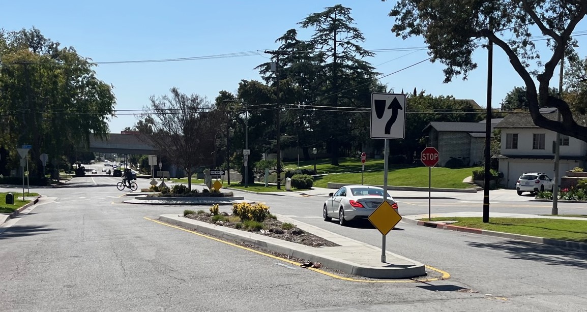
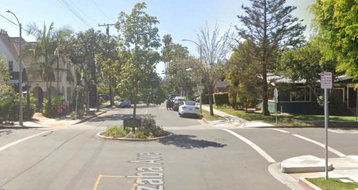
Wehner also alluded to the circles’ “wide variation in quality when it comes to traffic calming capabilities.” He compared two traffic circles he commutes through: “One does almost nothing to calm traffic, since it is tiny compared to the intersection. The other, a newer asphalt traffic circle, is much better.”
Wehner wants the city to “add other traffic calming features to work together with traffic circles,” which the city has done in some places.
Circular Logic: the Benefits of Circles
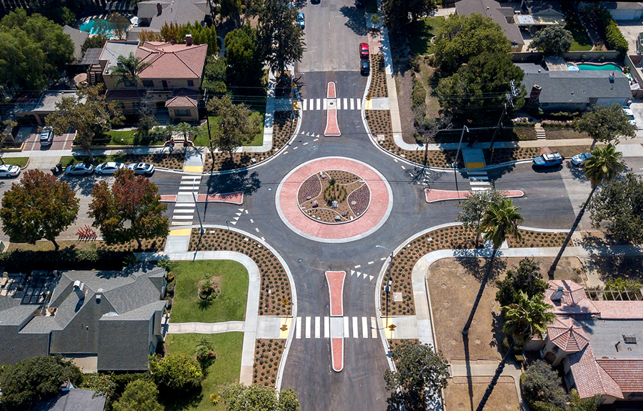
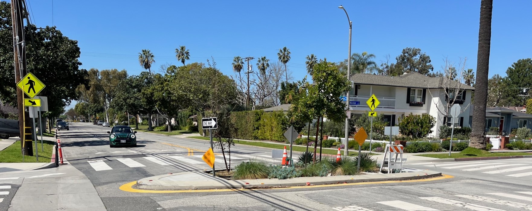
Traffic circles come in many flavors – from roundabouts (sometimes called rotaries or glorietas) to neighborhood mini-circles.
Generally roundabouts increase car traffic throughput (by eliminating a stop sign or a signal), while somewhat slowing driving speeds. They decrease some of the most deadly left-turn “T-bone” crashes. Roundabout intersections have been found to be safer than signalized or stop sign intersections.
Smaller traffic circles generally don’t increase throughput, but they do slow drivers down, resulting in similar safety benefits. Slower car traffic make for safer bicycling and walking. Traffic circles also benefit neighborhood place-making and greening.
Long Beach’s circles can’t prevent every crash. In 2020, a DUI driver speeding at around 100 miles per hour crashed into a Long Beach circle and went airborne. That modest circle did its job, though, possibly saving lives by getting in the way an impaired driver. The crash resulted in no loss of life, just minor injuries and damage to parked cars.
Roundly Comparing Long Beach to Other Cities
Nationally the city of Carmel, Indiana, touts its widespread successes in replacing signalized intersections with roundabouts. Carmel (population 101K) has 150 roundabouts. They’re pretty much all big multi-lane facilities (example).
Seattle, Washington, appears to lead the U.S. in smaller neighborhood traffic circles. Seattle (population 750K) has just over 1,050 circles, mostly modest in scale (example).
It appears that Long Beach (population 450K) has the most traffic circles of any California city, but that is difficult to confirm.
Long Beach does have the most circles for any L.A. County city. Several local cities (including Culver City, Lancaster, Los Angeles, Pasadena, Santa Monica, West Hollywood, and others) have worthwhile traffic circle projects, but none of these places have half as many circles as Long Beach.
Notably West Hollywood and Santa Monica strategically align circles (and other features) to create calm neighborhood greenway streets that prioritize cycling and walking. Long Beach was the first L.A. County city to pioneer this type of facility, and (see below) has smartly aligned many circles to create a calm greenway street network.
Circling Long Beach
Streetsblog counts 92 traffic circles in the city of Long Beach. 79 of these are on public streets. Thirteen are private. A full list appears at the end of this post.
Why so many? Most of these – nearly 50 – are part of the city’s recent push for safer streets. Those recent facilities join a smattering of historic circles, public facilities, school drop-offs, housing complex entry points, upscale marina developments, and others.
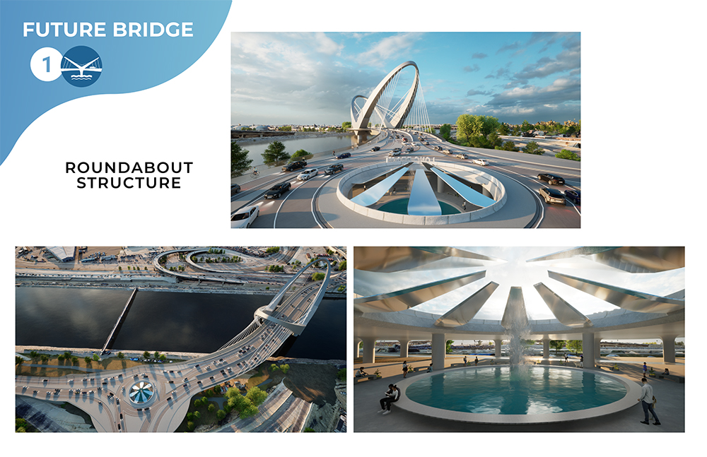
The place to start is known as “the Traffic Circle” at the intersection of Pacific Coast Highway, Lakewood Boulevard, and Los Coyotes Diagonal. The massive roundabout (featuring a 360-foot-wide inner island) was built in the 1930s and retooled in the 1990s. It’s a place that many drivers avoid, and it’s even less loved by pedestrians and cyclists.
The city plans to revamp the Traffic Circle, though this won’t change the circulation. It will, however, add new water-wise landscaping and wayfinding. Check out the project renderings.
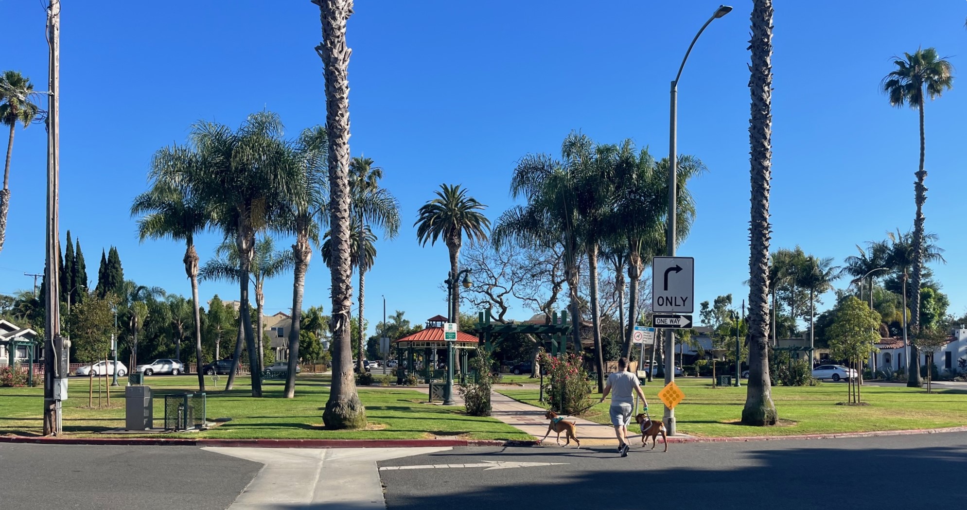
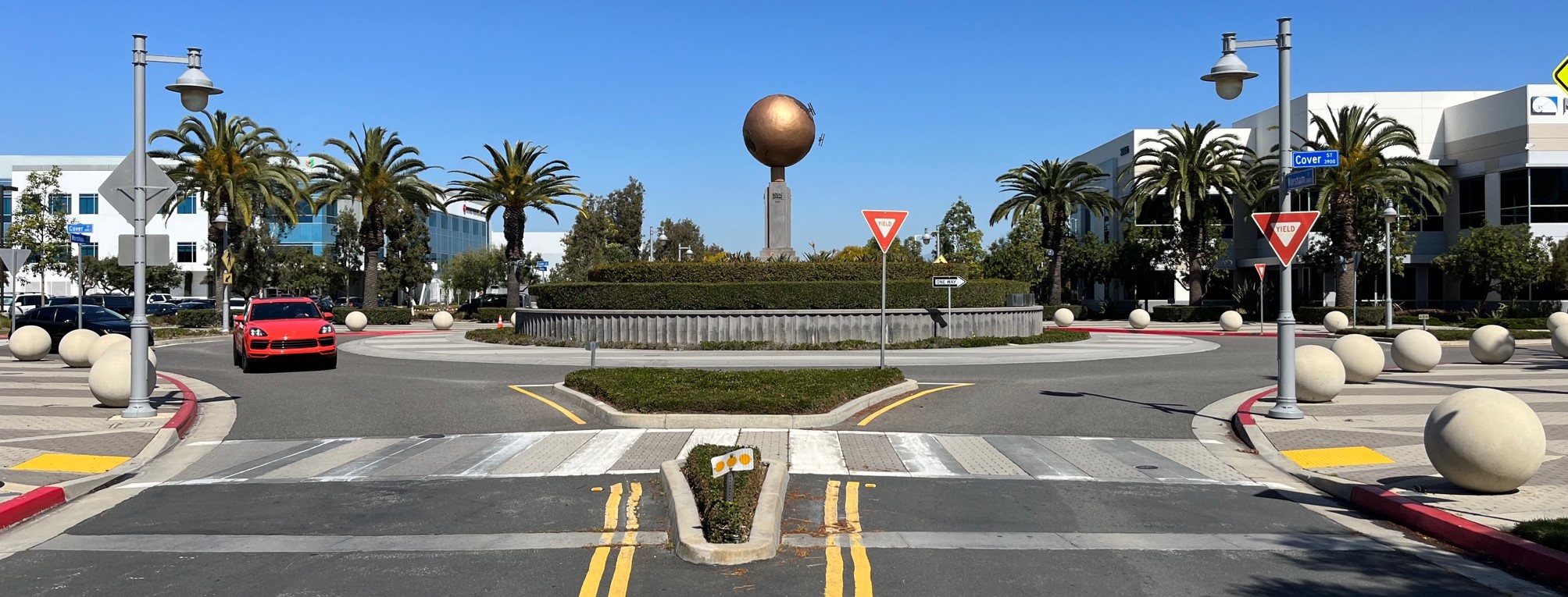
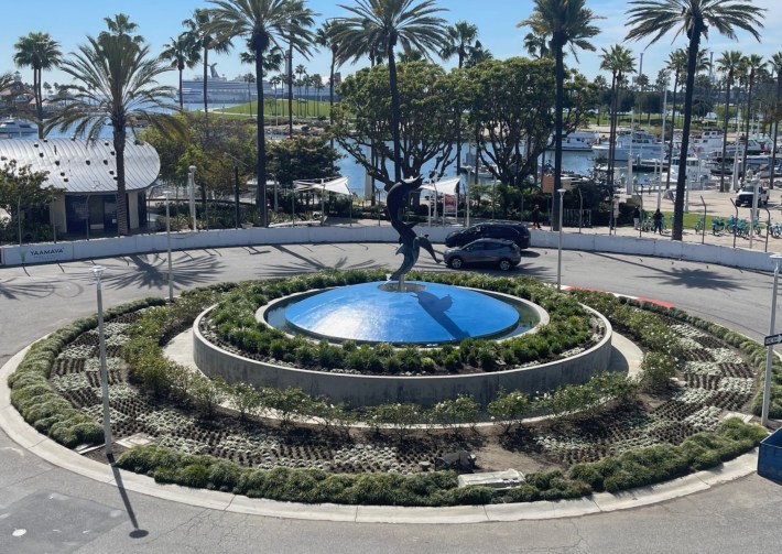
There are a few of other fairly large circles, including Rose Park, La Bella Fontana Park, and Cover Street at Worsham Avenue.
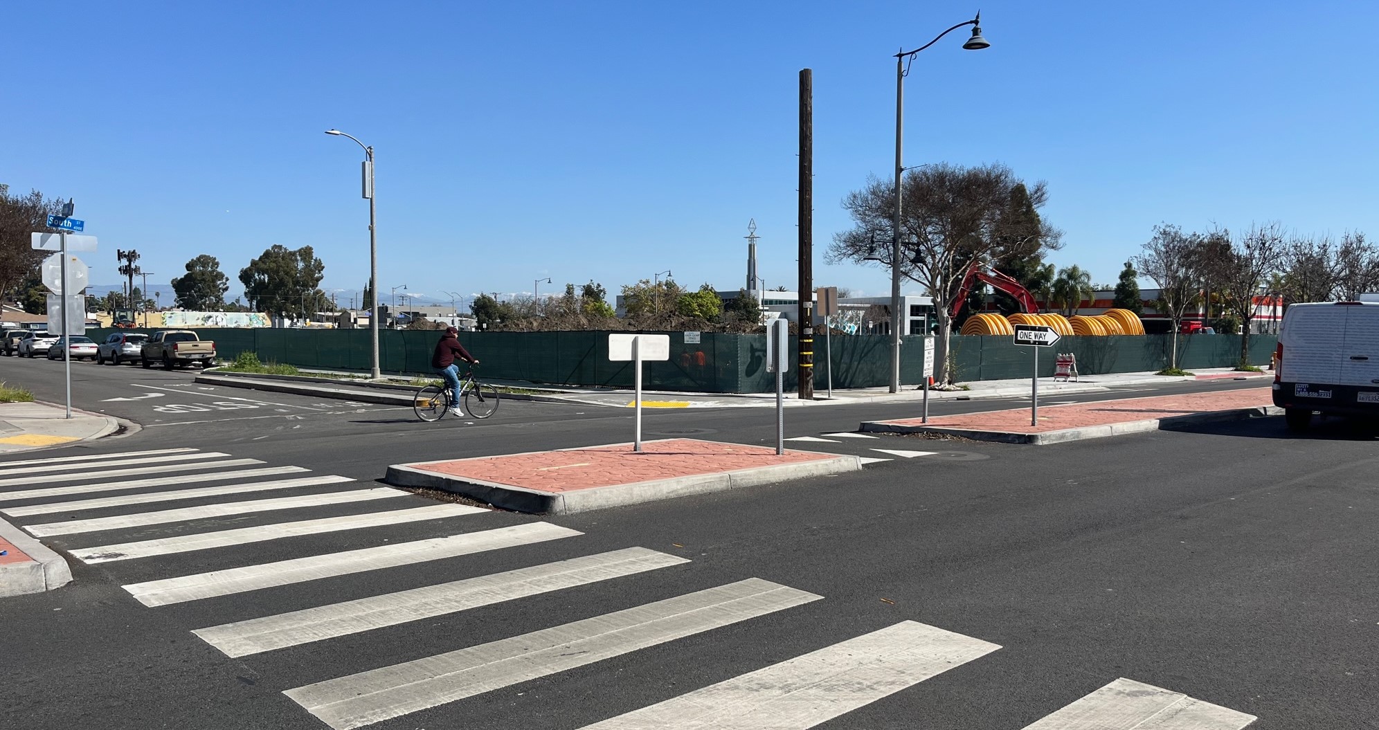
Long Beach also has numerous examples of recent neighborhood greenway treatments where multiple circles line up to divert and calm car traffic on fairly quiet residential streets. 6th Street, 15th Street, Daisy Avenue, Myrtle Street, Linden Avenue, and Vista Street all have multiple aligned circles, sometimes combined with additional diverter facilities.
Sixth Street has thirteen circles within 2.5 miles, making it a safe, quiet walk/bike alternative to traffic-choked Seventh Street.
The Circular Shape of Things to Come
Long Beach is not resisting on its laurels, but is adding still more circles where they’re most needed.
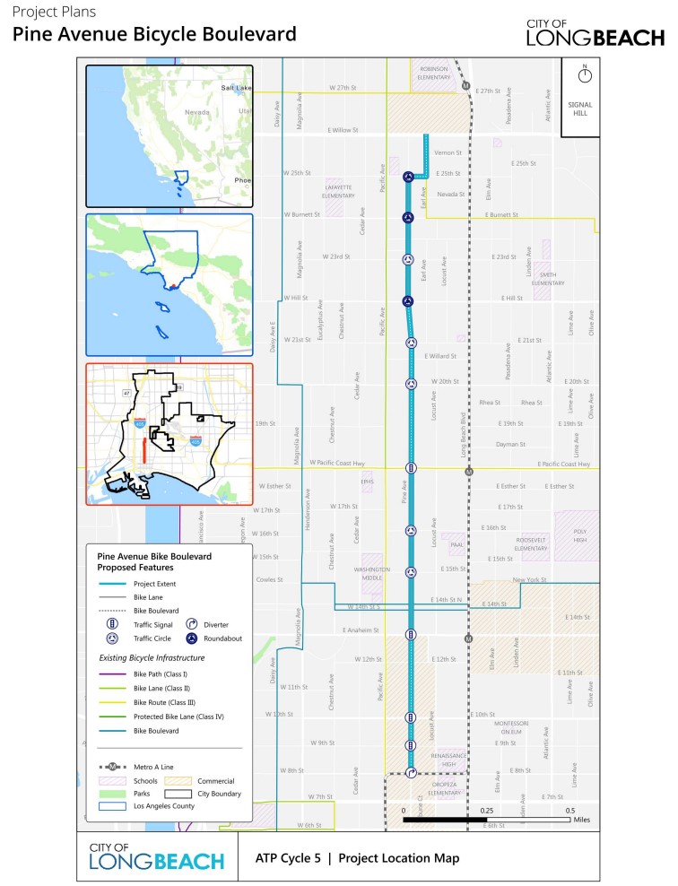
As part of its state-funded two-mile long Pine Avenue Bicycle Boulevard project, the city will soon install eight new circles (plus one diverter and several traffic signals). Project construction is currently out to bid.
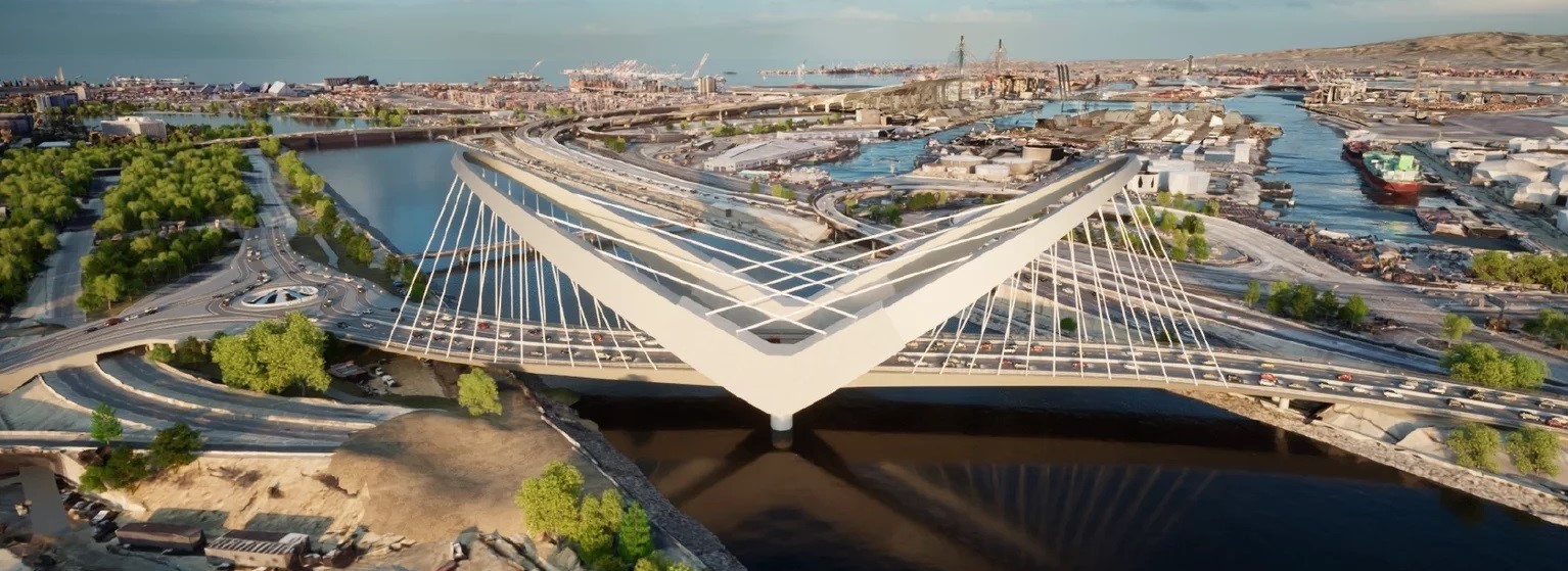
There’s another large scale roundabout planned as part of Long Beach’s Shoemaker Bridge Replacement Project.
Between Pine, Shoemaker, and the city’s ongoing safe streets programs, Long Beach will likely have more than a hundred traffic circles within a few years.
Like bikeways, traffic circles aren’t quite ubiquitous in Long Beach, but they’re around. Riding and walking through the city one encounters circles in various kinds of neighborhoods – working class and well-off, new and old, urban and suburban.
Some residents dislike some of them, but that’s probably true of most traffic calming. Perhaps analogous to wise prophets being underappreciated in their own hometowns, many people who dislike internationally proven traffic calming want to drive fast in other neighborhoods, but, even on their own street, want other drivers to slow down.
Long Beach’s circles are silent hard-working heroes, day after day looking after the safety of Long Beach’s most vulnerable residents. Quietly, steadily saving lives, keeping the peace.
The city – its civil servants, its neighborhoods, its pedestrians and cyclists – have welcomed traffic circles, more than other California cities. But perhaps Long Beach will become even better, safer, and healthier – as it leans in and embraces and expands these circles even more, taking pride in them and the safer calmer streets they represent.
Where Long Beach Goes in Circles
Below is the full list of 92 Long Beach traffic circles as of July, 2024. View as a Google Spreadsheet. (This list is compiled from several sources, and should be accurate, but if readers spot errors, please let Streetsblog know.)
Public traffic circles in Long Beach:
- 4th Street west of Golden Avenue at Cesar Chavez Park
- 6th Street at Molino Avenue
- 6th Street at Temple Avenue
- 6th Street at Orizaba Avenue
- 6th Street at Obispo Avenue
- 6th Street at Loma Avenue
- 6th Street at Grand Avenue
- 6th Street at Termino Avenue
- 6th Street at Roswell Avenue
- 6th Street at Park Avenue
- 6th Street at Santiago Avenue
- 6th Street at Havana Avenue
- 6th Street at Ultimo Avenue
- 6th Street at Flint Avenue
- 8th Street at Orizaba Avenue – Rose Park
- 15th Street at Orange Avenue
- 15th Street at Walnut Avenue
- 15th Street at Temple Avenue
- 15th Street at Orizaba Avenue
- 15th Street at Loma Avenue
- 15th Street at Termino Avenue
- 28th Street east of Pine Avenue
- 33rd Street at Pine Avenue and Pepper Drive
- Appian Way at Lido Lane
- Aquarium Way east of Golden Shore
- Bellflower Boulevard at Azure Way
- Bixby Road at Weston Place
- Blue Cavern Point off Spinnaker Bay Drive
- Bryant Drive East near El Cedral Street
- Cover Street at Worsham Avenue
- Daisy Avenue at 4th Street
- Daisy Avenue at 5th Street
- Daisy Avenue at 8th Street
- Daisy Avenue at 9th Street
- Daisy Avenue at 10th Street
- Daisy Avenue at 25th Street
- Daisy Avenue at 28th Street
- Daisy Avenue south of 48th Street
- Duchess Lane south of Stearns Street
- El Dorado Park Golf Course east of Studebaker Road at El Salvador Street
- Empire Landing off Spinnaker Bay Drive
- Faculty Avenue at Bixby Station Road at Long Beach City College
- Flint Avenue at La Paz Street
- Golden Shore southeast of Queens Way
- Jotham Place north of Bixby Road
- Linden Avenue at 14th Street
- Linden Avenue at 36th Street
- Linden Ave at Bixby Road
- Linden Avenue at Harding Street
- Long Point off Spinnaker Bay Drive
- Marina Drive end at Long Beach Marina building
- McBride High School north of Parkcrest Street at Lees Avenue
- Myrtle Avenue at Harding Street
- Myrtle Avenue at 68th Street
- Myrtle Avenue at 70th Street
- Naples Plaza at The Toledo
- Orange Avenue at Hellman Street
- Pacific Avenue at 36th Street and Country Club Drive
- Pacific Avenue at Bixby Road
- Pacific Coast Highway at Lakewood Boulevard and Los Coyotes Diagonal
- Park Circle west of Maine Avenue
- Parsons Landing off Spinnaker Bay Drive
- Perry Lindsey Middle School east of Daisy Avenue near 51st Street
- Ravenna Drive at The Toledo and Corinthian Walk – La Bella Fontana Park
- Salta Verde Point and Prince Island
- Shoreline Village Drive 500′ from Shoreline Drive
- Shoreline Village Drive 1,900′ from Shoreline Drive
- Shoreline Village Drive 2,700′ from Shoreline Drive
- Shoreline Village Drive 3,800′ from Shoreline Drive
- Vista Street at Orizaba Avenue
- Vista Street at Mira Mar Avenue
- Vista Street at Termino Avenue
- Vista Street at Roswell Avenue
- Vista Street at Ximeno Avenue
- Vista Street at Quincy Avenue
- Vista Street at Park Avenue
- Vista Street at Argonne Avenue
- Willard Street west of Santa Fe Avenue – Cabrillo High School
- Whites Landing off Spinnaker Bay Drive
Private traffic circles in Long Beach:
- Azure Way at Costa Del Rey
- Costa Del Rey at Cadiz Lane
- Edith Way west of Country Club Drive
- Hathaway Apartments on Hathaway Avenue north of Termino Avenue
- Havana Avenue at Windward Street
- Kilroy Airport Way near Spring Street
- Long Beach Memorial Medical Center near Atlantic Avenue and 28th Street
- West of Obispo Ave near 61st Street – business park
- Riviera Circle north of 7th Street
- Springdale West Apartments on Webster north of Spring Street
- Terrylynn Circle north of Terrylynn Place
- 3900 Via Oro Avenue south of Carson Street – business park
- Virginia Country Club off Virginia Road

Streetsblog has migrated to a new comment system. New commenters can register directly in the comments section of any article. Returning commenters: your previous comments and display name have been preserved, but you'll need to reclaim your account by clicking "Forgot your password?" on the sign-in form, entering your email, and following the verification link to set a new password — this is required because passwords could not be carried over during the migration. For questions, contact tips@streetsblog.org.