Reading Changes in City Streets

My job is to report on L.A. Streets. I like to think that every trip I take I am doing a sort of sampling transect, mentally making notes of how streets are working, what has changed, what led to the current conditions. I often encounter unexpected changes in city streets; then I try to figure out what happened and why.
City streets are a complex palimpsest – an outgrowth of centuries of policies and priorities and investments, spread on top of millennia of underlying landscape. Formal redlining and informal segregation might have defined neighborhood boundaries. Old rail rights of way cut through neighborhoods, affecting the shapes of parcels and the configurations of buildings. Highways cut through cities, severing communities and streets formerly connected. Cities that prioritize car travel over walking allocate more space to drivers, while shunting pedestrians onto narrow ill-maintained sidewalks – or no sidewalks at all.
That’s the bigger context. What I am reading in streets – and sharing in this post – is less profound than that bigger picture. This post rounds up some changes I have “read” on Southern California streets – changes that weren’t quite newsworthy enough for their own post.
Bikeway Removals/Downgrades
I have covered some fairly high profile bike lane removals, including the rollback of Move Culver City, the Playa del Rey backlash, and upcoming LADOT/Metro bike lane removal planned on Van Nuys Boulevard.
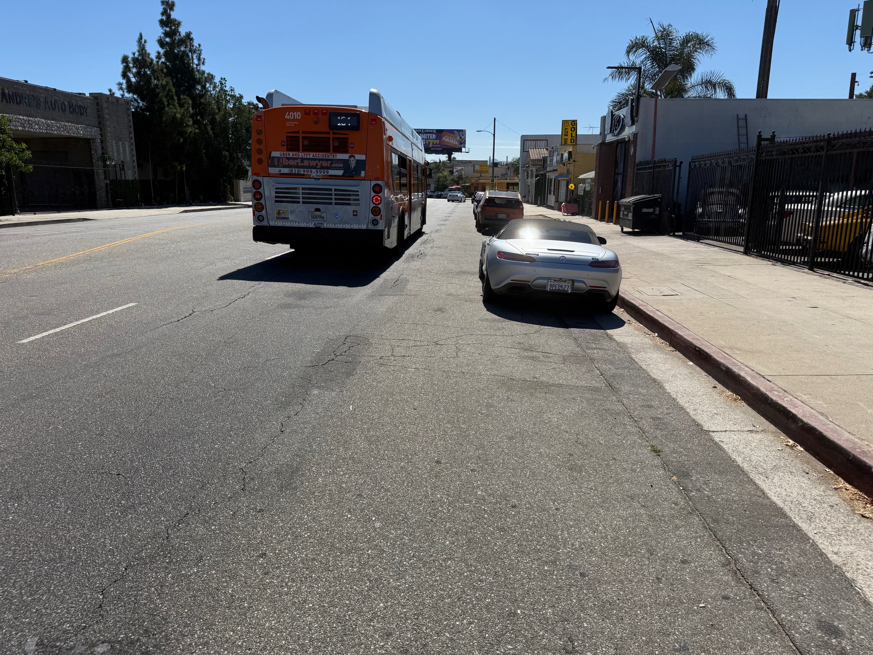
Biking on these streets today, it’s possible to spot traces of the earlier bike facilities.
Many bikeway removals are quieter. These include 48th Street and Neptune Street, where the city Transportation Department (LADOT) erased bike lanes in order to increase on-street parking.
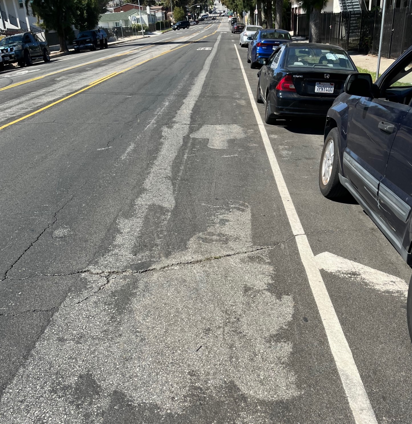
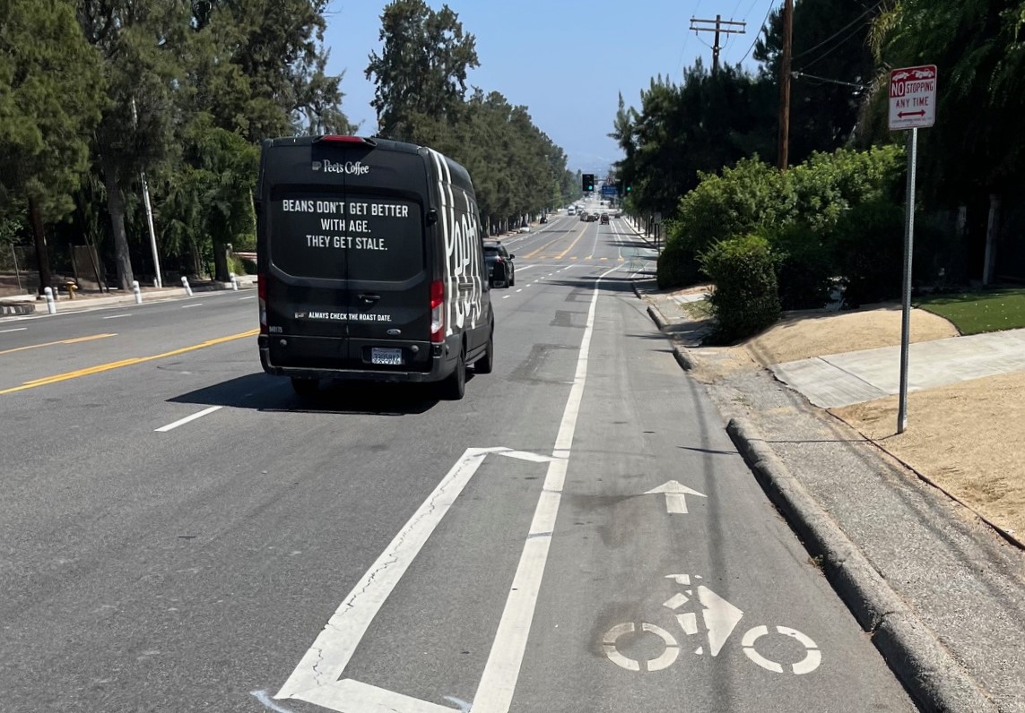
Less newsworthy is the disappearance of several sharrows. Sharrows are shared lane markings, called the dregs of bike infrastructure. On some bike routes, the city repaved streets and failed to re-install the sharrow markings.
Occasionally the city just covers up sharrows.
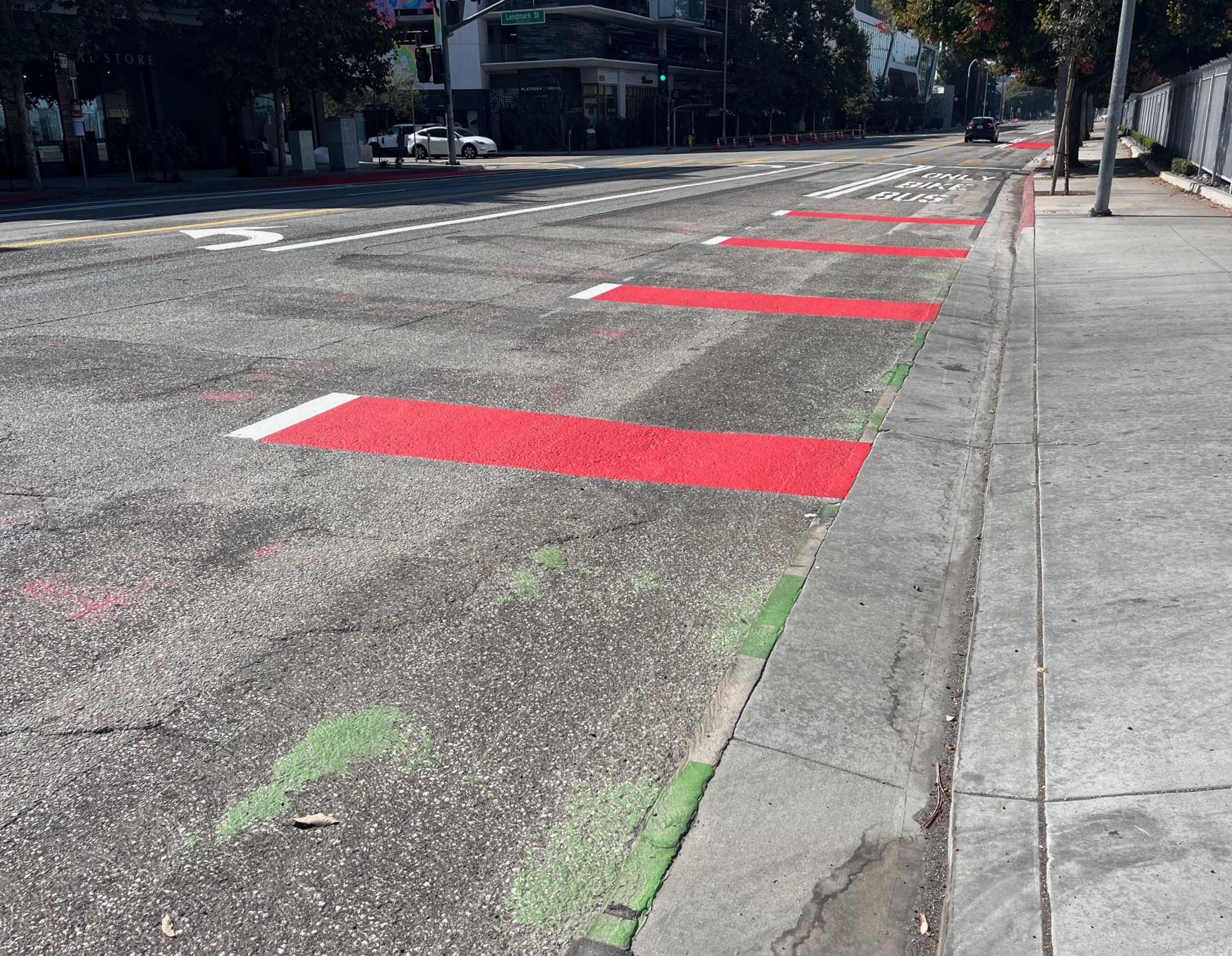
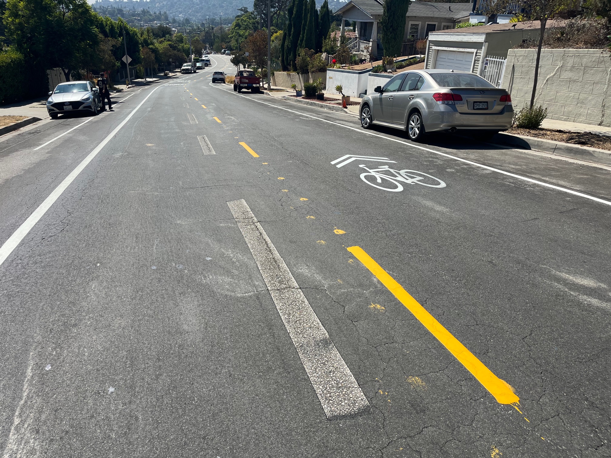
In some places, the city downgrades bike lanes, removing buffers, green pavement, and/or plastic bollards. When I bike these places, I notice traces of the removed features.
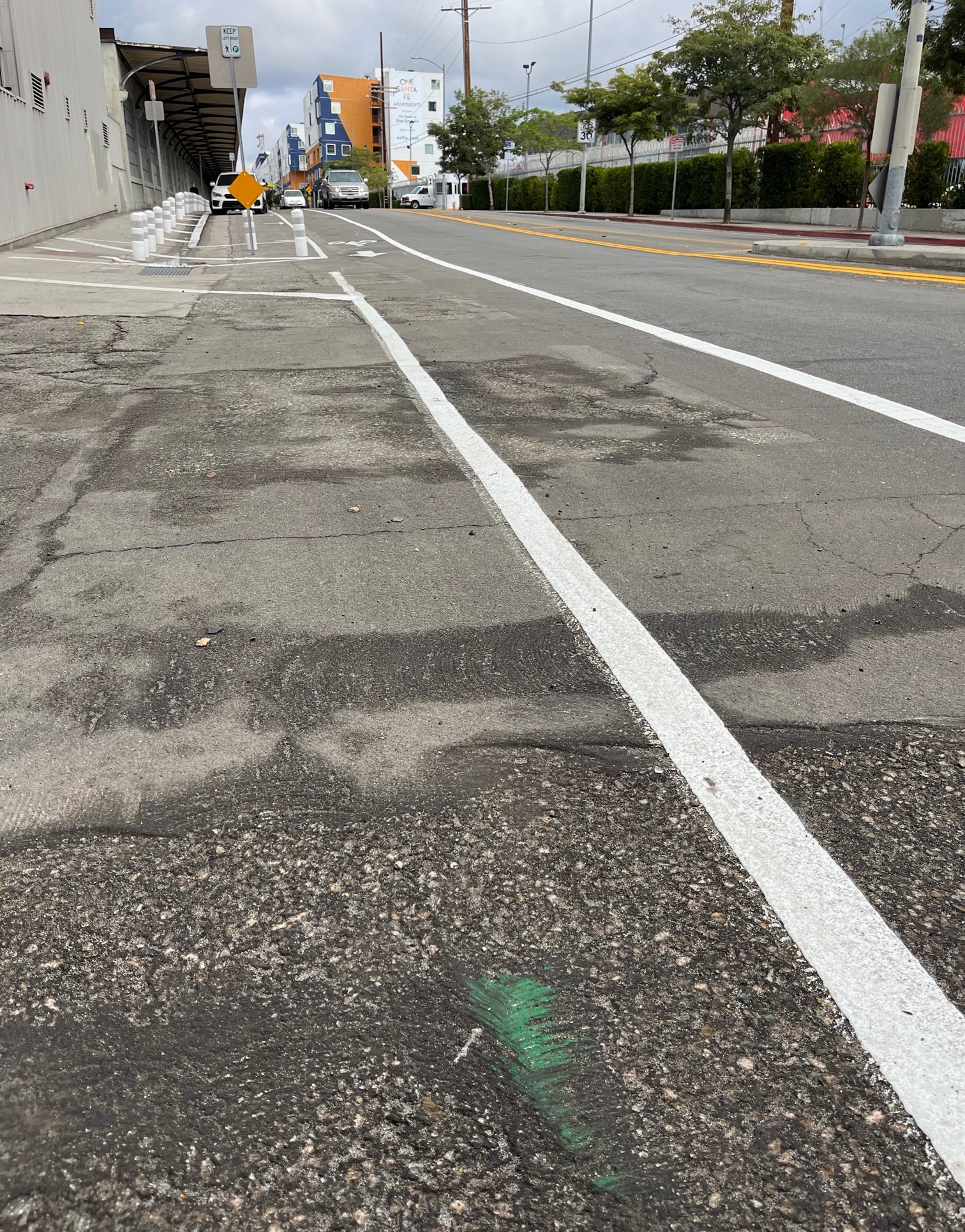
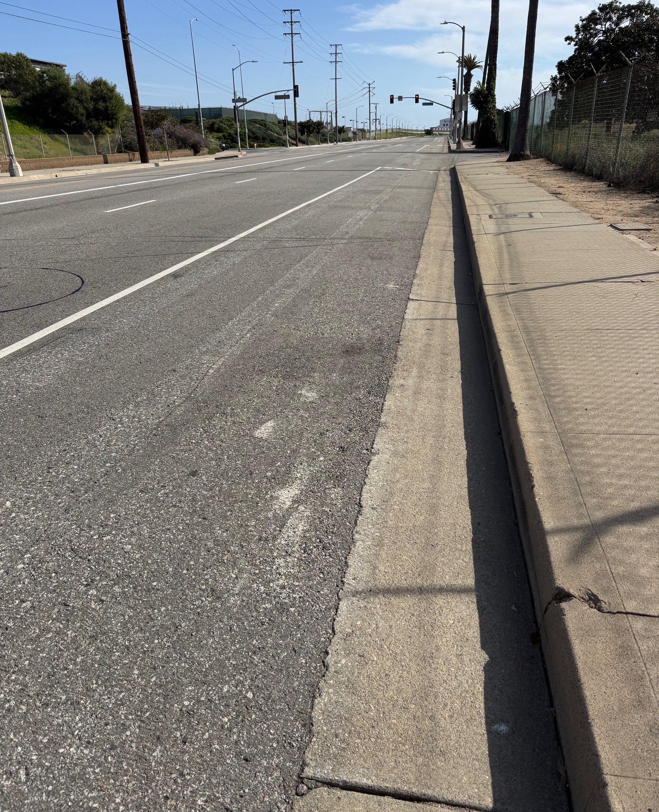
In 2018, LADOT upgraded a mile of San Pedro’s 25th Street bike lanes from Patton Street to Western Avenue (a no-parking stretch many drivers speed). The project added a buffer, lined with plastic bollards.
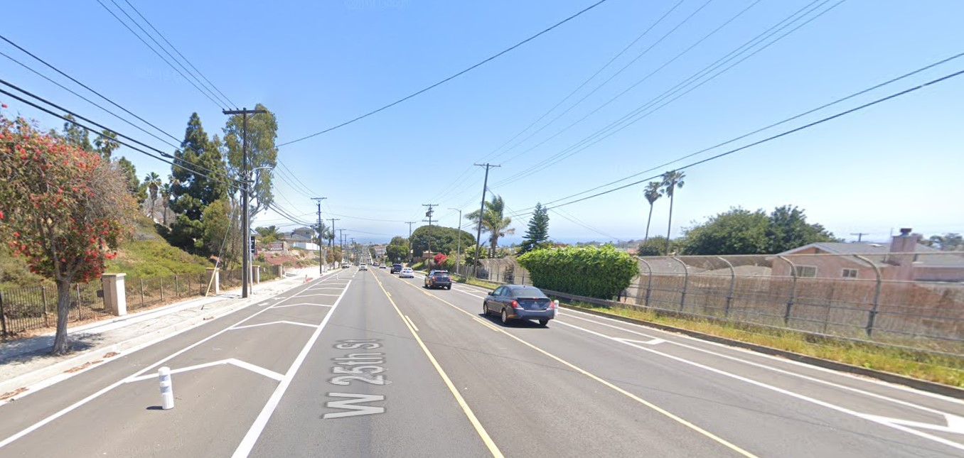
By 2021 the bollards were no longer.

It’s not clear if drivers removed all the bollards by running over them, or if LADOT removed them.
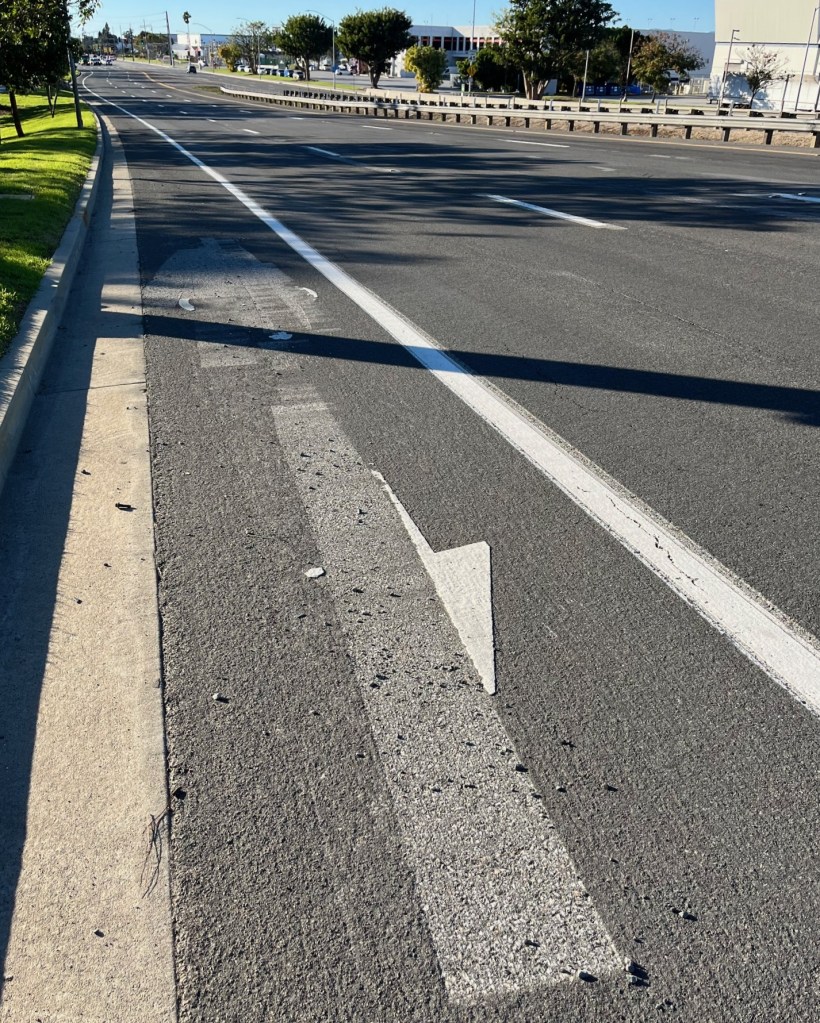
Road Diet Ghost Stripes
When LADOT reconfigures lane markings (sometimes for road diet improvements), the project typically involves scraping off existing stripes. The former stripes are often visible, not as a painted line, but as a sort of visible linear scrape mark. I like to think of these as “road diet ghost stripes” though there may be some more official name for this.
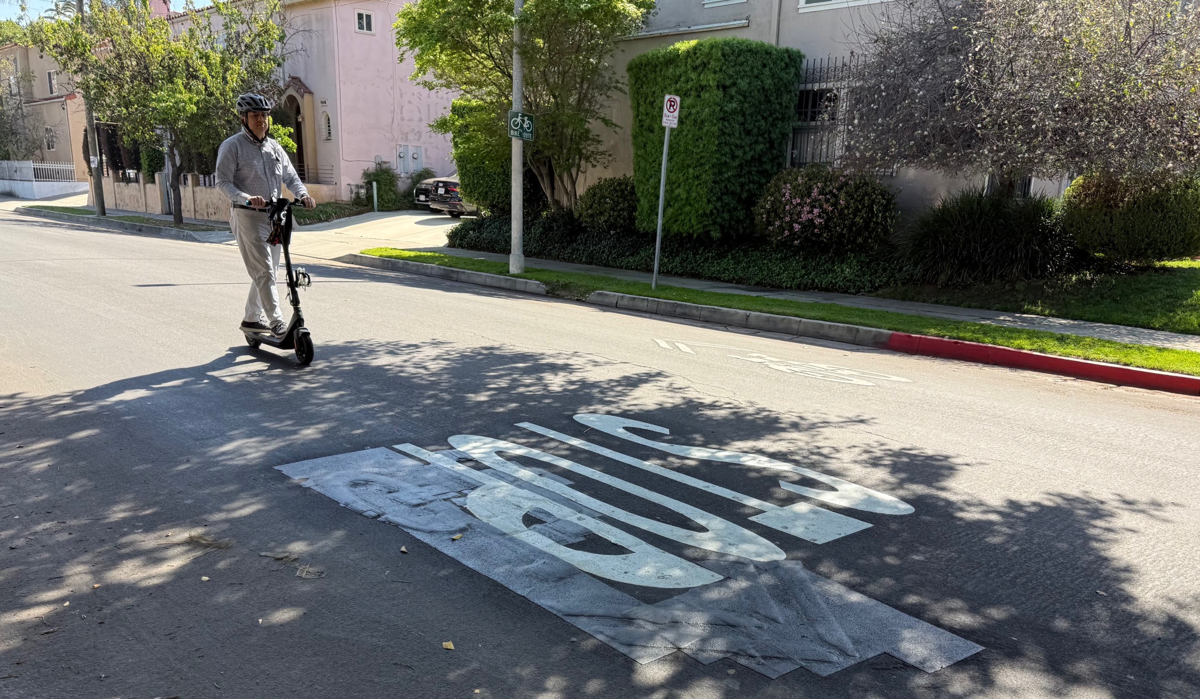
Sometimes the City Would Rather Scape Than Fix
In late 2022, city leaders – Mayor Eric Garcetti, LADOT, and Bureau of Street Services (StreetsLA) heads – announced that Watts’ 108th Street (from Central Avenue to Wilmington Avenue) would soon be repaved with bike upgrades as part of the city’s BLAST initiative. 108th was due to be repaved with sharrow markings added – by July 2023. 108th is one of eight streets segments planned for modest bike improvements as part of the city’s Watts Rising grant (see page 69 for bikeways).
When I reported, in 2023, that much of BLAST did not happen, I ran the below photo of 108th.

I don’t know if maybe my photo struck a chord with someone at the city, but when I biked there a year later – in July 2024 – the city had done something.

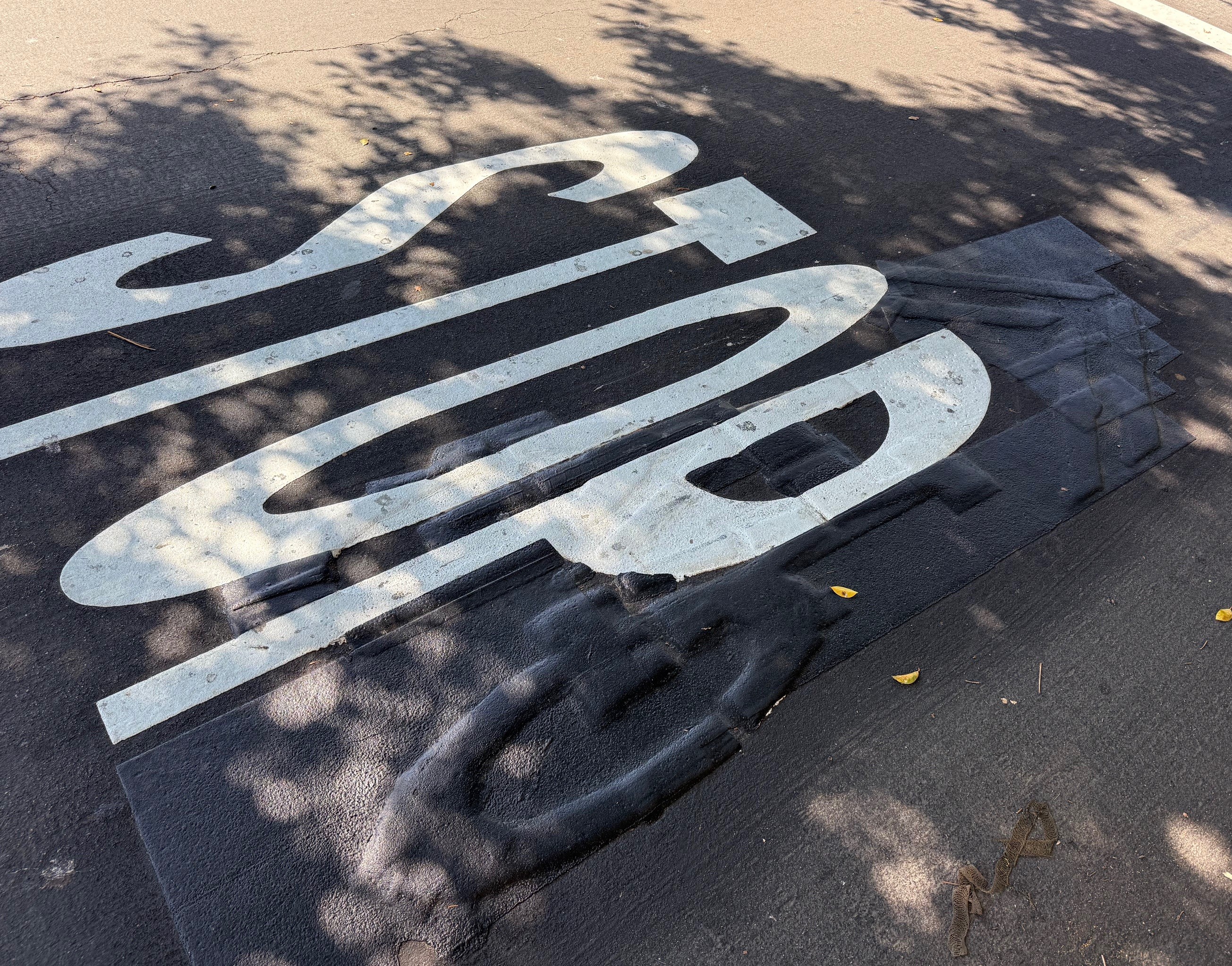
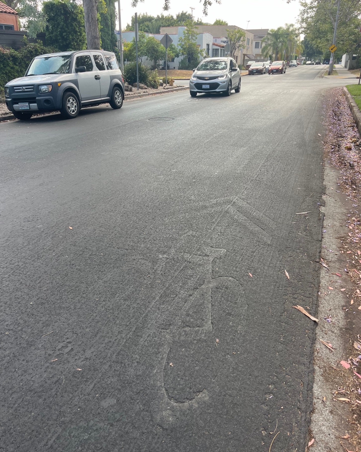
Had the city repaved 108th? No. The city just scraped off the yellow “SLOW SCHOOL” letters. The road surface remains cracked and failing.
BLAST promised Watts six newly repaved street segments (parts of 103rd Street, 108th, Central Avenue, Compton Avenue, Willowbrook Avenue, and Wilmington Avenue). To date only about half of one (Central) was completed.
City Appropriately Fixes “Typos”
Occasionally, I have spotted city mistakes on newly installed bikeways. When I see these, I communicate them to DOT staff, who get the typos corrected. I bring these up here not to get anyone in trouble (I do more than my share of typos and corrections), but because I when I bike in these places I still notice traces of the earlier markings.
In 2020, when LADOT was re-striping part of Forest Lawn Drive (adding a small buffer along existing bike lanes) the city mistakenly painted a bike symbol in the wrong lane on this part of Forest Lawn Drive. I shared the “typo” with DOT staff who moved the symbol to the correct place.

In 2024 LADOT added new bike lanes on Townsend Avenue in Eagle Rock. The city mistakenly painted one bike symbol in the wrong place, then (after my suggestion) corrected it.
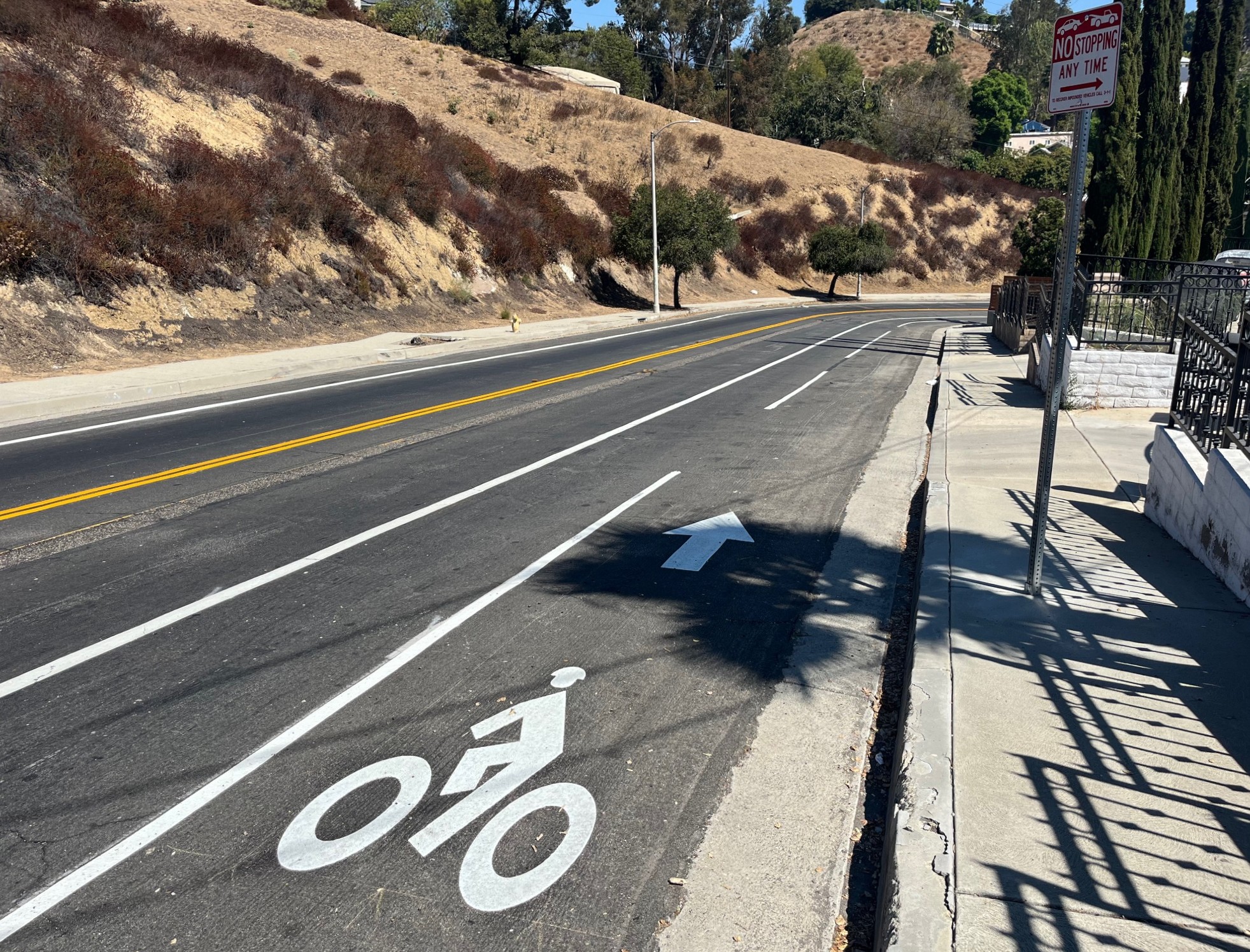
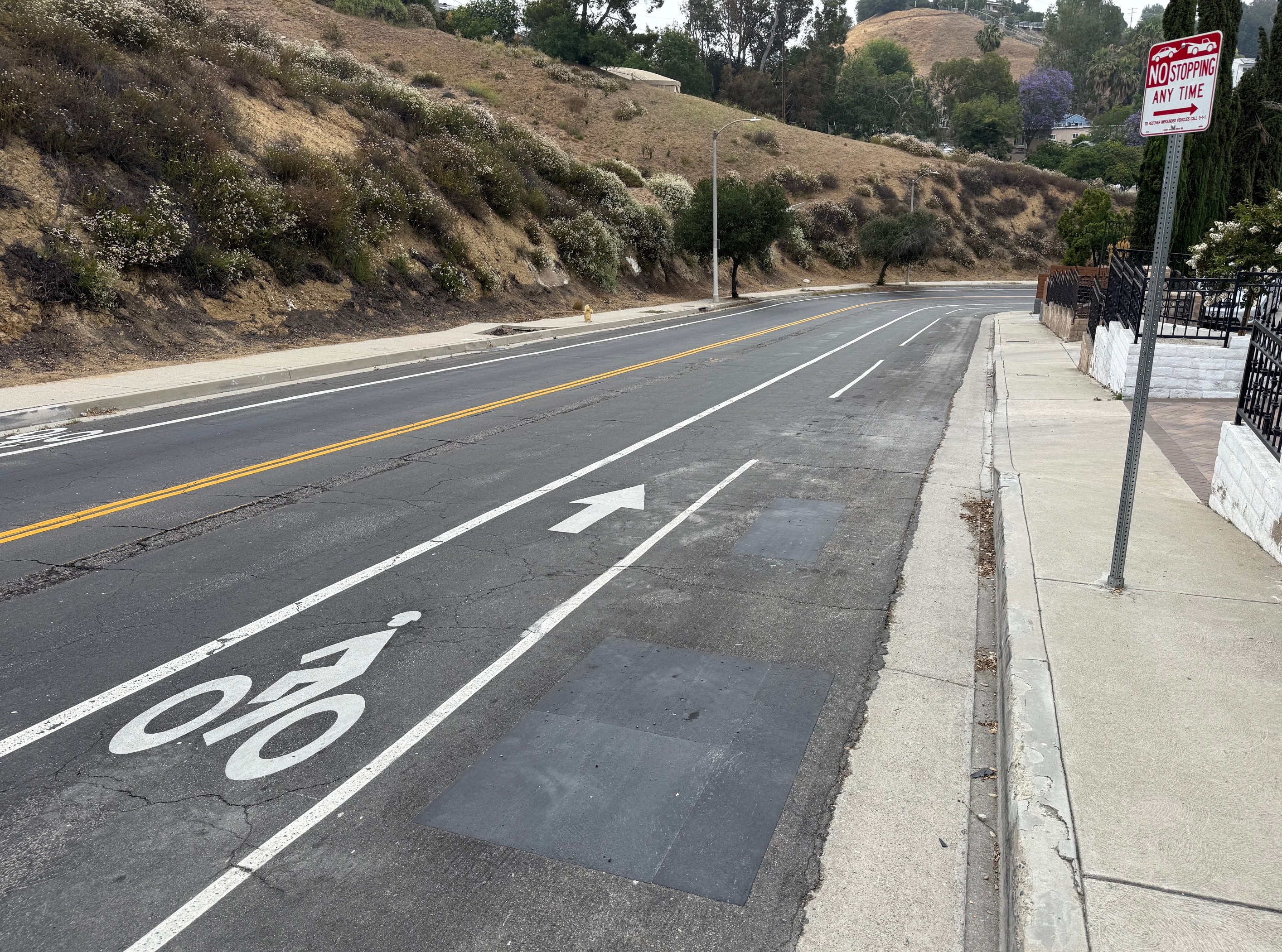
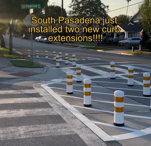
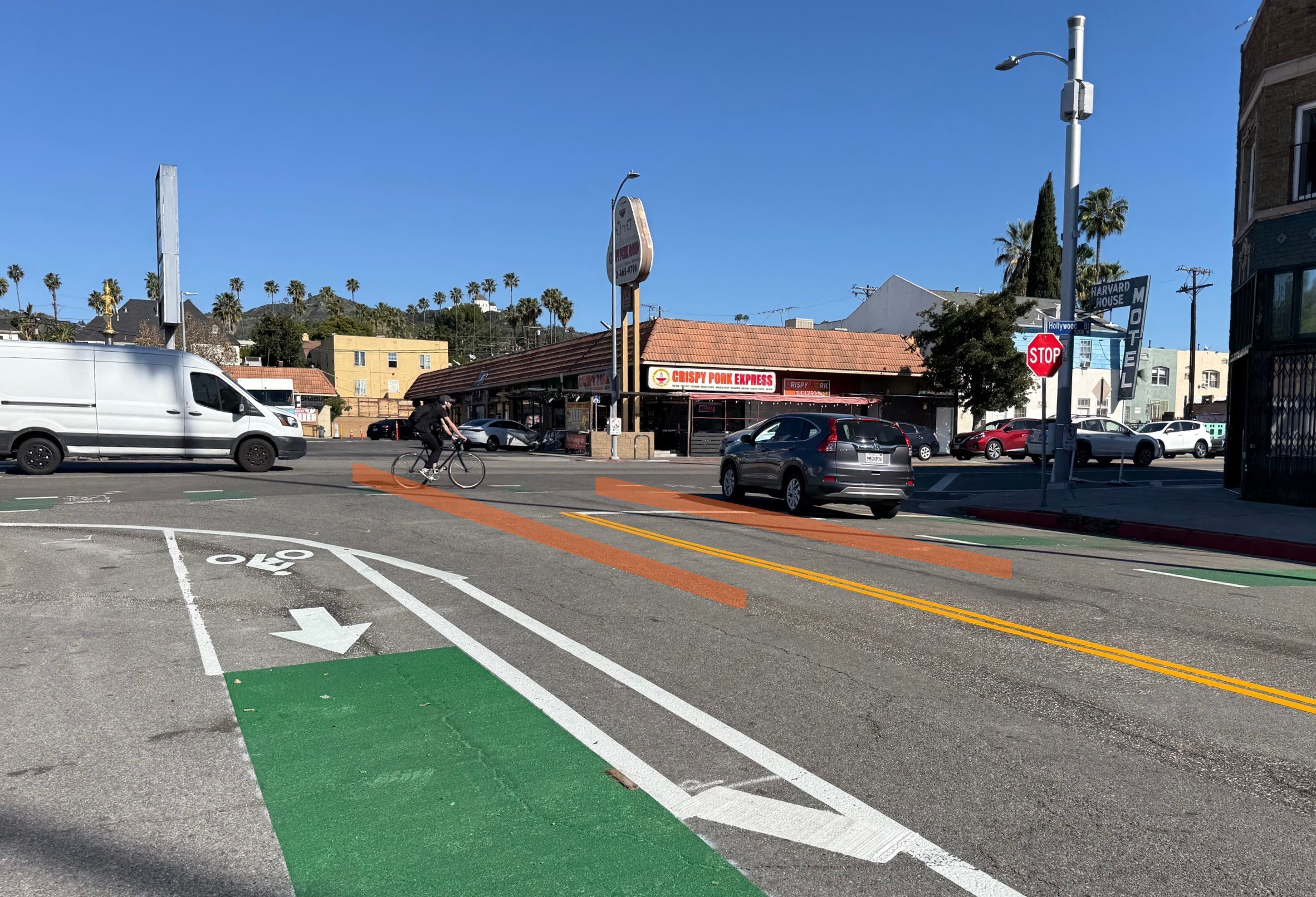
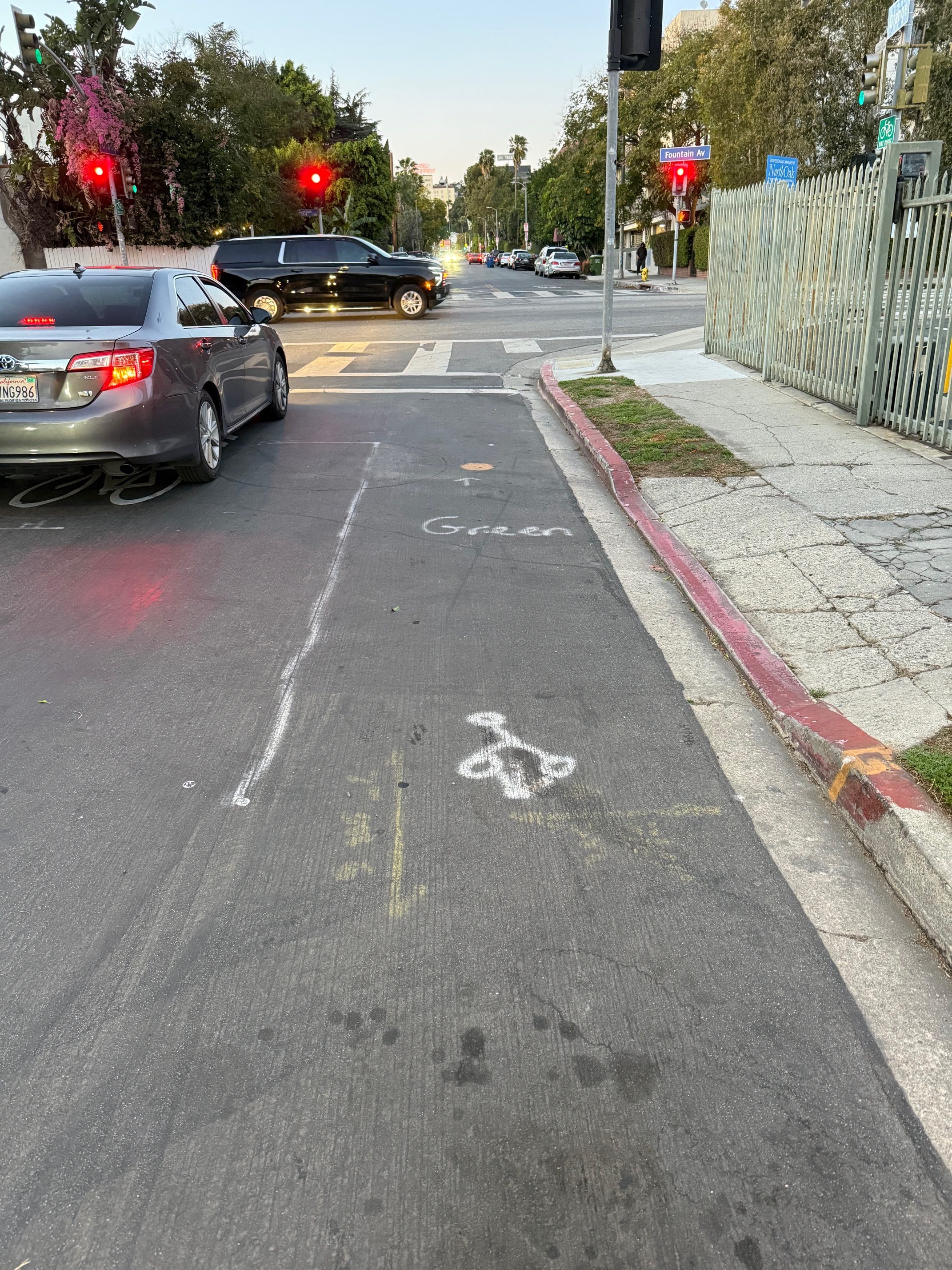
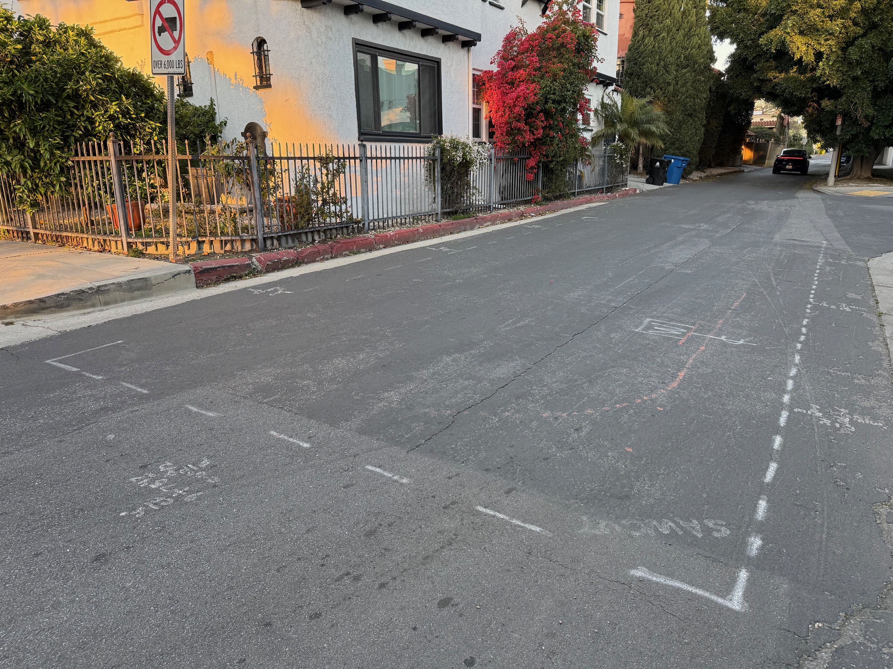
Markings Indicates Facilities Coming Soon
I am happy to occasionally spot street markings that herald new bike (or bus or walk) upgrades. I recently spotted construction markings on streets slated for improvements as part of LADOT’s under-construction Mid-City Neighborhood Greenway Project.

Read More:
Streetsblog has migrated to a new comment system. New commenters can register directly in the comments section of any article. Returning commenters: your previous comments and display name have been preserved, but you'll need to reclaim your account by clicking "Forgot your password?" on the sign-in form, entering your email, and following the verification link to set a new password — this is required because passwords could not be carried over during the migration. For questions, contact tips@streetsblog.org.