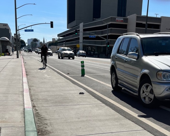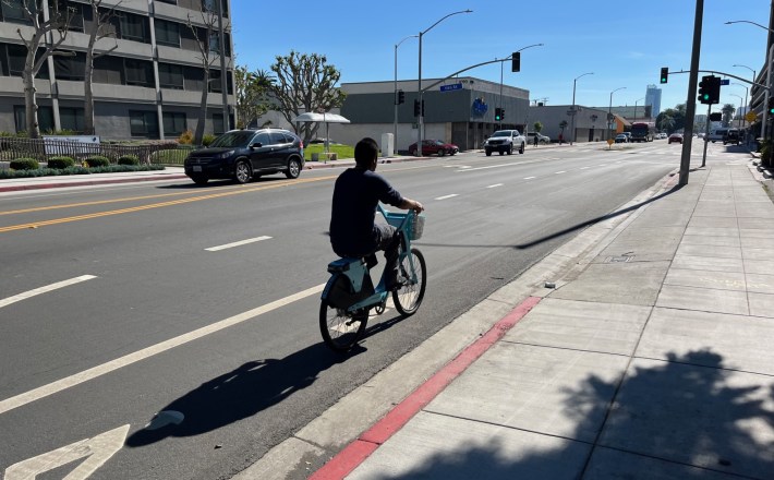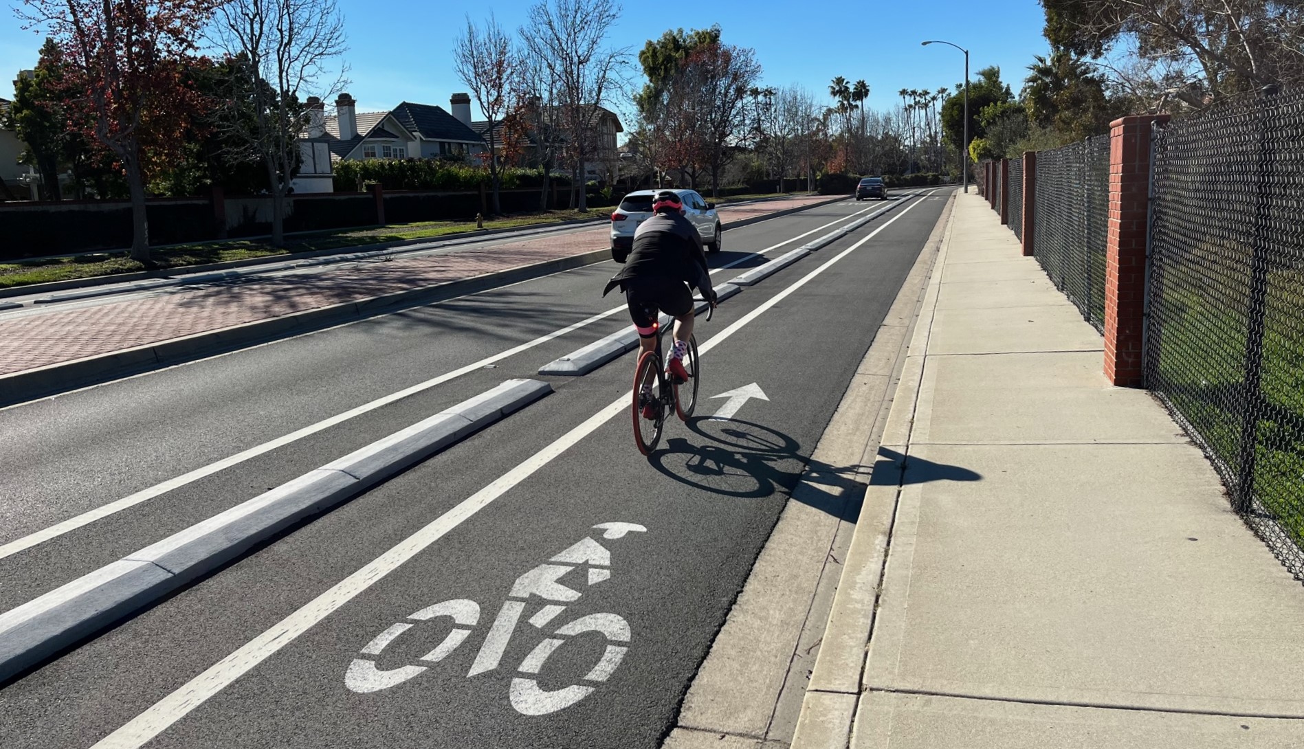
Long Beach is a leader in southern California livability, especially when it comes to bicycling. The city premiered L.A. County's first protected bike lanes, first parklets, and more. LB recently added four high-quality concrete curb-protected bike lanes.
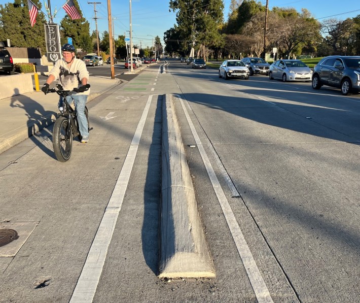
Concrete curbs are real protection, especially compared to plastic bollards/posts that errant drivers regularly mow down. These aren't Long Beach's first curb-protected facilities; similar features can be found on downtown LB's Broadway /Third Street parking-protected couplet (reworked somewhat since their 2011 debut). Stretches of fairly similar curb protection are installed in a handful of L.A. County cities (multiple in Santa Monica, plus Hermosa Beach, Temple City, L.A., Pomona, and Pasadena), but right now Long Beach leads the county with the most overall curb-protected mileage - about 15 lane-miles citywide (counting sidewalk-level bikeways). LB also leads the county in total traffic circles.
Corrected 2/2: With numerous protected facilities without curb protection (mostly parking-protected), Long Beach also leads L.A. County in per capita protected bikeway mileage.
The latest batch of Long Beach curb-protected lanes appears to be a sort of standard prototype that could be implemented in many locations.
Below are some specifics on Long Beach's four recent curb-protected bikeways, followed by photos of a couple other notable projects SBLA spotted on a recent visit to the LBC.
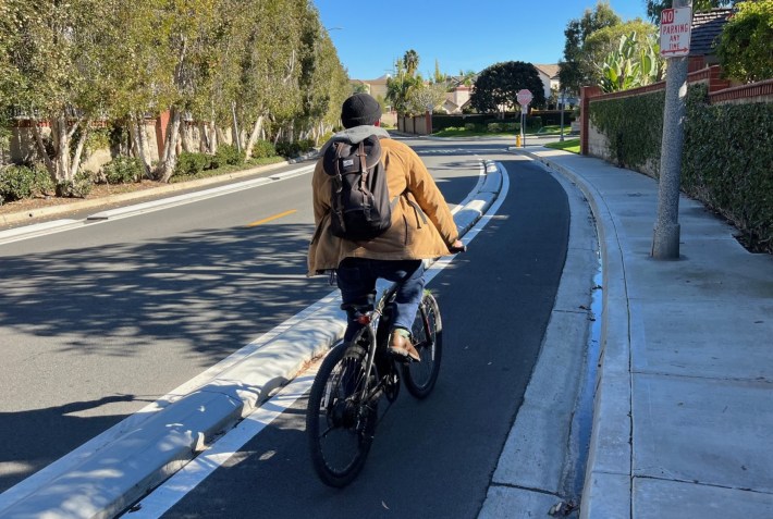
Costa Del Sol Way
Costa Del Sol's curb-protected bike lanes are short but make worthwhile connections.
Located in the Alamitos Bay area in southeast LB, Costa Del Sol has one block (about 300 feet) of protected lanes both northbound and southbound between Loynes Drive (see below) and Cadiz Lane, plus another 800 feet of southbound-only protection south of Cadiz to Jack Nichol Park where cyclists can connect to a marina bike path or to Pacific Coast Highway.
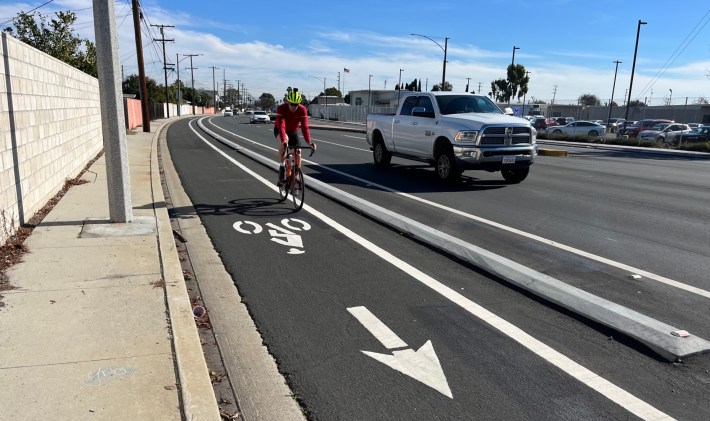
Del Amo Boulevard
The Del Amo facility is a half-mile long, between Orange and Atlantic Avenues, in the Bixby Knolls neighborhood.
This stretch of Del Amo was effectively a speedway in front of Barton Elementary School - a couple of long blocks with mostly backyard fences and no driveways, no friction to slow drivers down. Long Beach did a road diet on this stretch of Del Amo Boulevard, reducing six travel lanes to four, and adding protected bike lanes.
These new bike lanes closed a gap, connecting existing bikeways on Del Amo, Atlantic, and Orange. (The city is extending and upgrading Orange Avenue bike lanes, with that street intended to serve as a primary north-south "backbone" bikeway.)
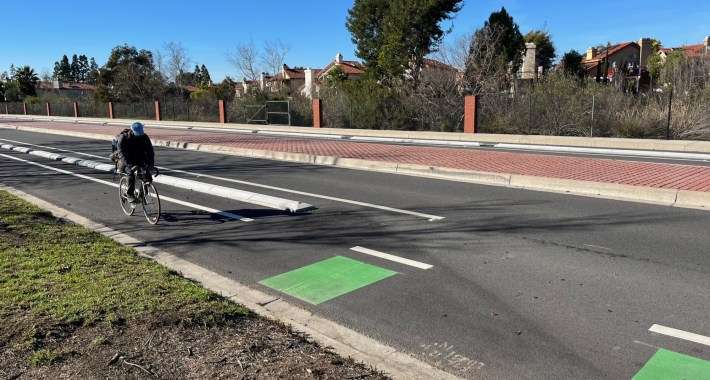
Loynes Drive
The new Loynes Drive bike lanes extend a quarter mile between Pacific Coast Highway and Bellflower Boulevard. This was another overly wide street, with no driveways. The city reduced car lanes from four to two to make space for the protected lanes.
The Loynes lanes connect to bikeways on Bellflower and PCH, the Costa Del Sol lanes, and a marina bike path paralleling Azure Way.
Spring Street
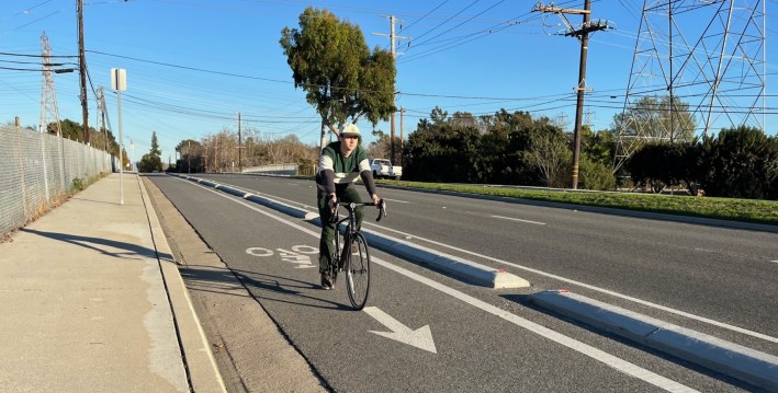
The Spring Street curb-protected lanes extend about 0.8 miles from Studebaker Road to El Dorado Park (that's the name of the street that enters the park). Studebaker has existing painted bike lanes which the city is about to upgrade to protected.
Though this stretch of Spring is in and along the 650-acre El Dorado Park, it is another frictionless, overly wide road conducive to speeding - especially for drivers in a hurry to get to and from the 605 Freeway.
On Spring, the city reduced six car lanes to four, freeing up space for the protected bike lane. Spring now allows for safer travel between residential neighborhoods to the west and the San Gabriel River bike path. It gets cyclists nearly to the Coyote Creek bike path and the adjacent Orange County city of Los Alamitos.
For a bit more background on Long Beach's recent protected bikeways, see the city's 2023 Safe Streets Progress Report.
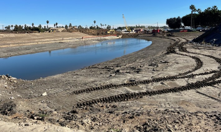
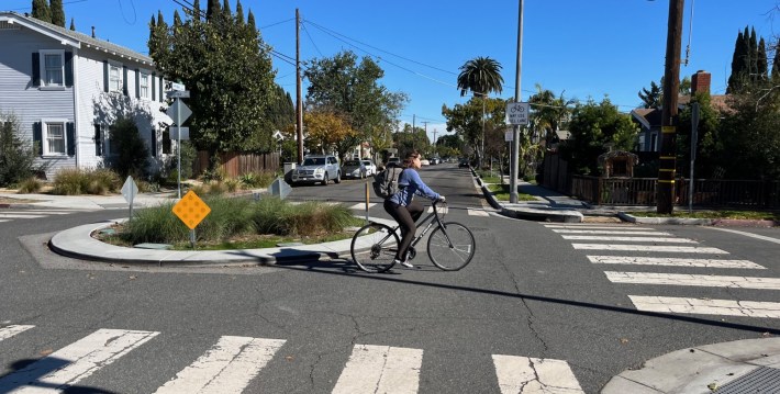
Lastly, a few photos of other bikeways and projects SBLA visited last week:
