From Rivers to Roads? A Historical Perspective on SGV Creeks
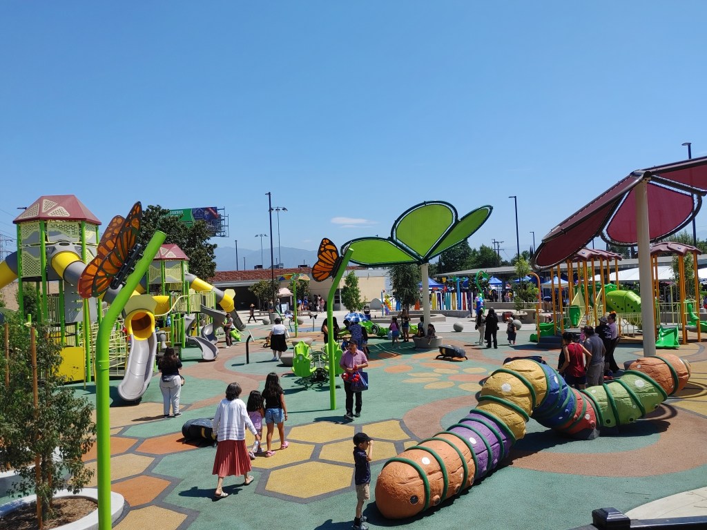
As the San Gabriel Valley Greenway Network begins to take shape with walk/bike paths being built along channelized waterways in Pomona and Baldwin Park, SBLA is taking a look at how the Valley’s creek system played a role in shaping its settlement and infrastructure. This post specifically focuses on San Jose Creek, with a historical perspective from Paul Spitzzeri, director of the Workman-Temple Homestead Museum in the City of Industry.
The Homestead Museum is an institution that pays tribute to two families who developed the area in the 1800s, their preserved homes and graveyard, and the region’s history at large. It is right beside the now channelized San Jose Creek, one of the longest creeks in the SGV. It is also near Valley Boulevard, one of the longest roads in the SGV. But the story goes back further than the Workmans or Temples. “Indian trails lead to basic roads lead to freeways.” says Spitzzeri. According to him, there were indigenous villages nearby.
“The best accounts that I’ve seen suggest that one village site was at [the] La Puente City Park/High School area, and another just east of our cemetery here. My feeling is it could have been both. Depending on how the floodwaters rose, you’ll be closer to the water because you want to be there, and then if it’s a season where it’s pretty rough you might move a little further away.” says Spitzzeri
When colonizers from Spain and the American South came to the area in the 1700s and 1800s, the Valley’s watershed made it an attractive place to settle to them too.
“For the indigenous people it’s the animal and plant life for hunting and gathering,” says Spitzzeri, “but later on when you started to have the agricultural period come into being, a number of irrigation ditches were dredged off the creek for vineyards and orchards.”
One of the earliest pieces of infrastructure in the SGV was built around the creek: La Puente – the bridge. Evidence of the bridge’s exact location and how long it lasted is not known, but residents of the town named La Puente have shaken their heads for decades at its anachronistic name. Spitzzeri says there’s a reason for that.
“When the Spanish came through in the summer of 1769, and they came over [what are now called] the Puente Hills and looked over what they called San Miguel Valley at that time. They came across a creek that they had to actually build a bridge to cross. That’s where the name came from. Now, modern Spanish is El Puente. These were Catalonians, and the Catalan dialect of Spain allows you to use the feminine for a bridge. So La Puente was in the diary of Father Juan Crespí. He talked about having to build a bridge to cross a creek.”
Famed rocker, LGBTQ icon, and La Puente native Kid Congo Powers mused in his recently-released memoir that La Puente in name might be gender-fluid, but neither the bridge nor the stream it crossed over were anywhere to be found during his childhood there.
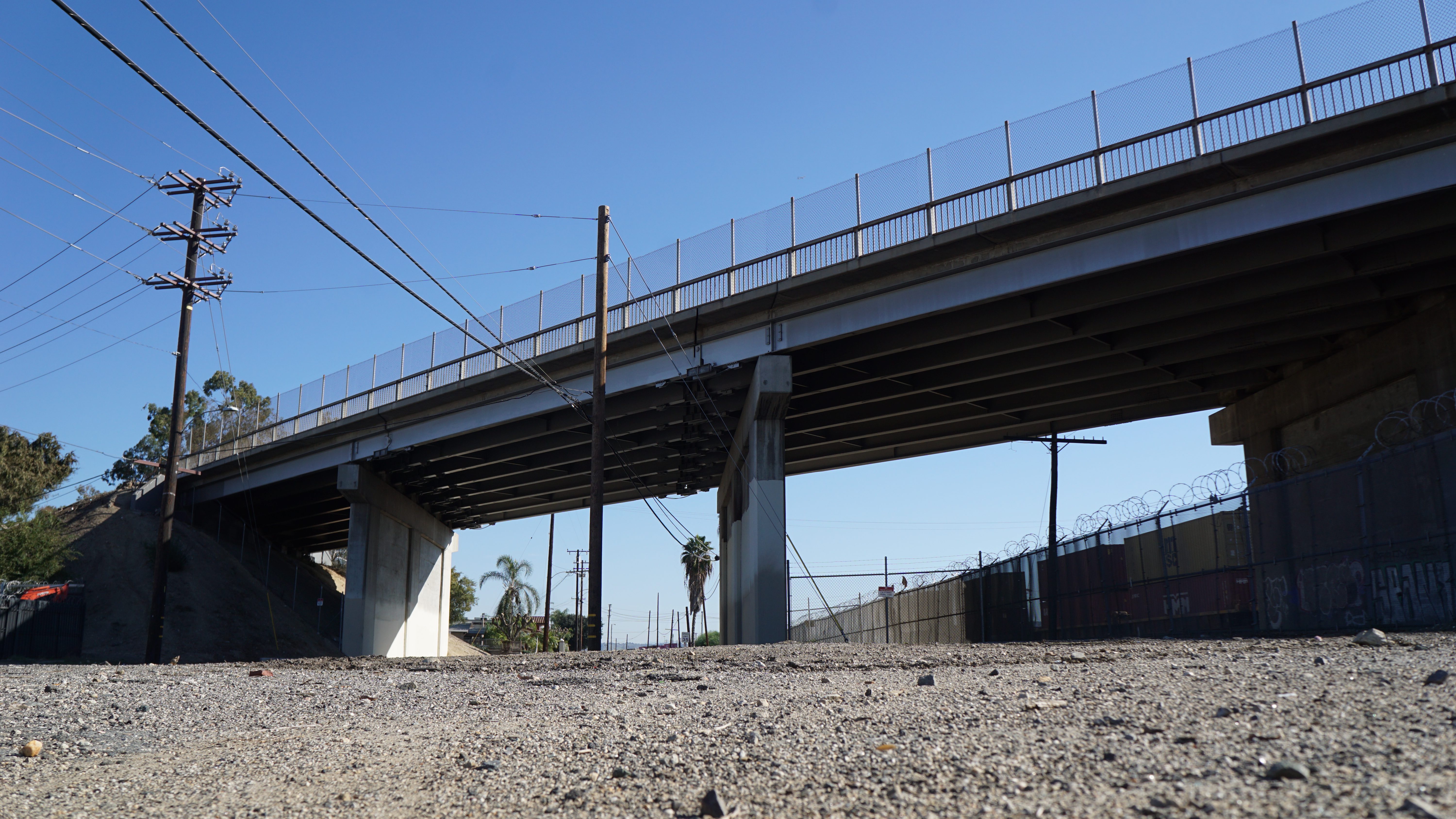
Perhaps it’s hard to see the romance through all the concrete, but there is a creek that occasionally has water in it, and there is at least one bridge in La Puente, where Valley Boulevard passes over Old Valley Boulevard (and the Southern Pacific railroad). Spitzzeri’s guess is that the original Puente could have been somewhere between that bridge and the Homestead, or further west by Seventh Avenue, depending on where the Spanish missionaries crossed the hills.
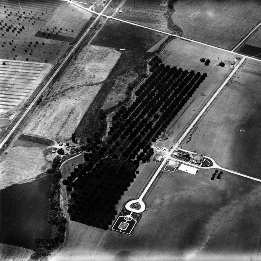
If the latter is true, then the bridge would have been near the San Jose Creek’s confluence with the San Gabriel River, around Avocado Heights. San Jose Creek begins near the Pomona Fairplex, and is fed by Thompson Wash and runoff from the Claremont foothills. Spitzzeri says it was channelized in the ’60s, and it had some powerful floods before that.
The SGV’s creek system was vital to the region’s farming development into the early 1900s, but that waned in the latter half of the century. “It became less important when you started to get a lot of the expansive agriculture, the walnuts, the oranges, there wasn’t as much water that could service all of that.” says Spitzzeri. “But that’s where you get the importation of water coming in too. So then you start seeing things like the Metropolitan Water District, the Colorado River Aqueduct project.”
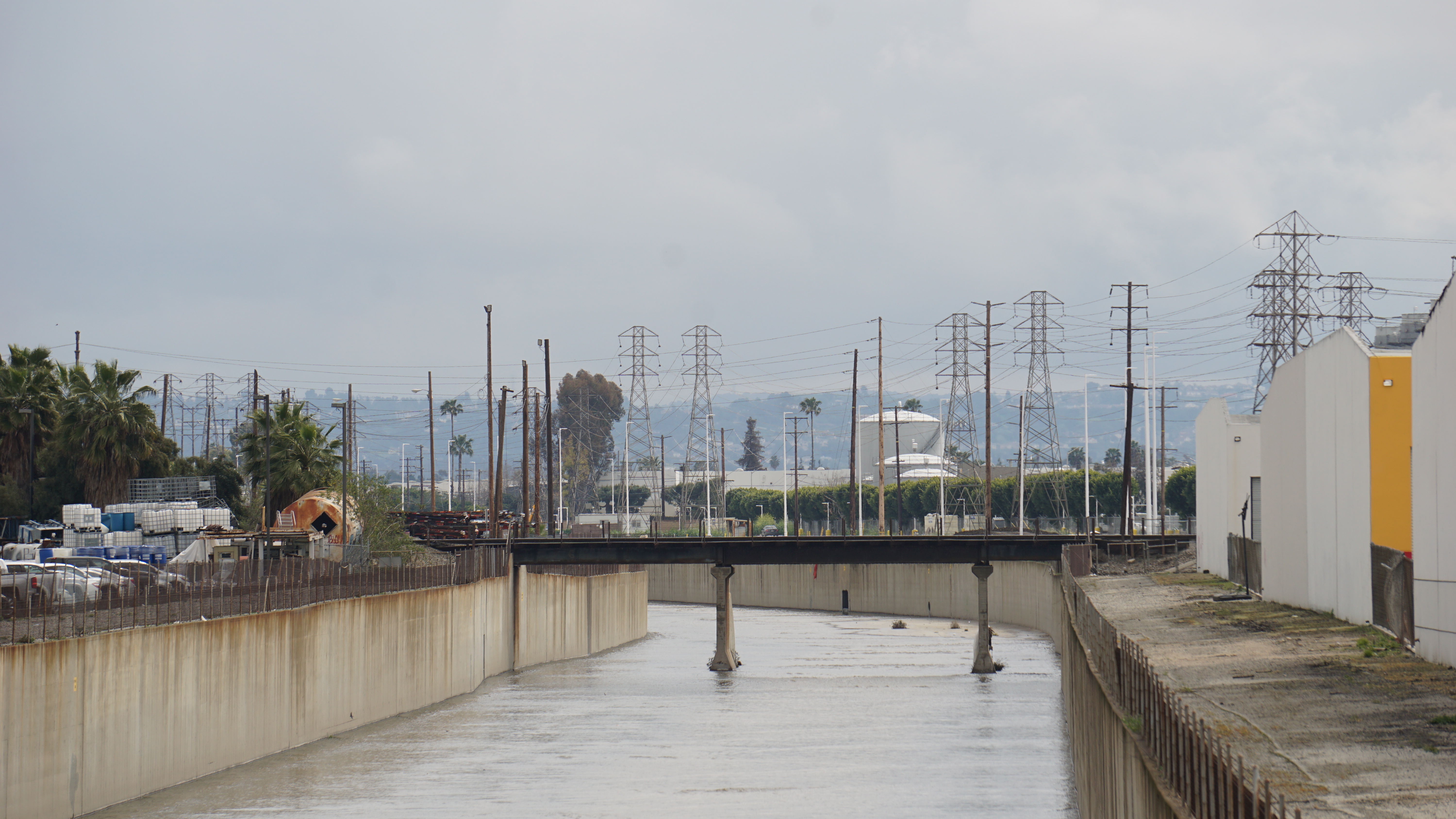
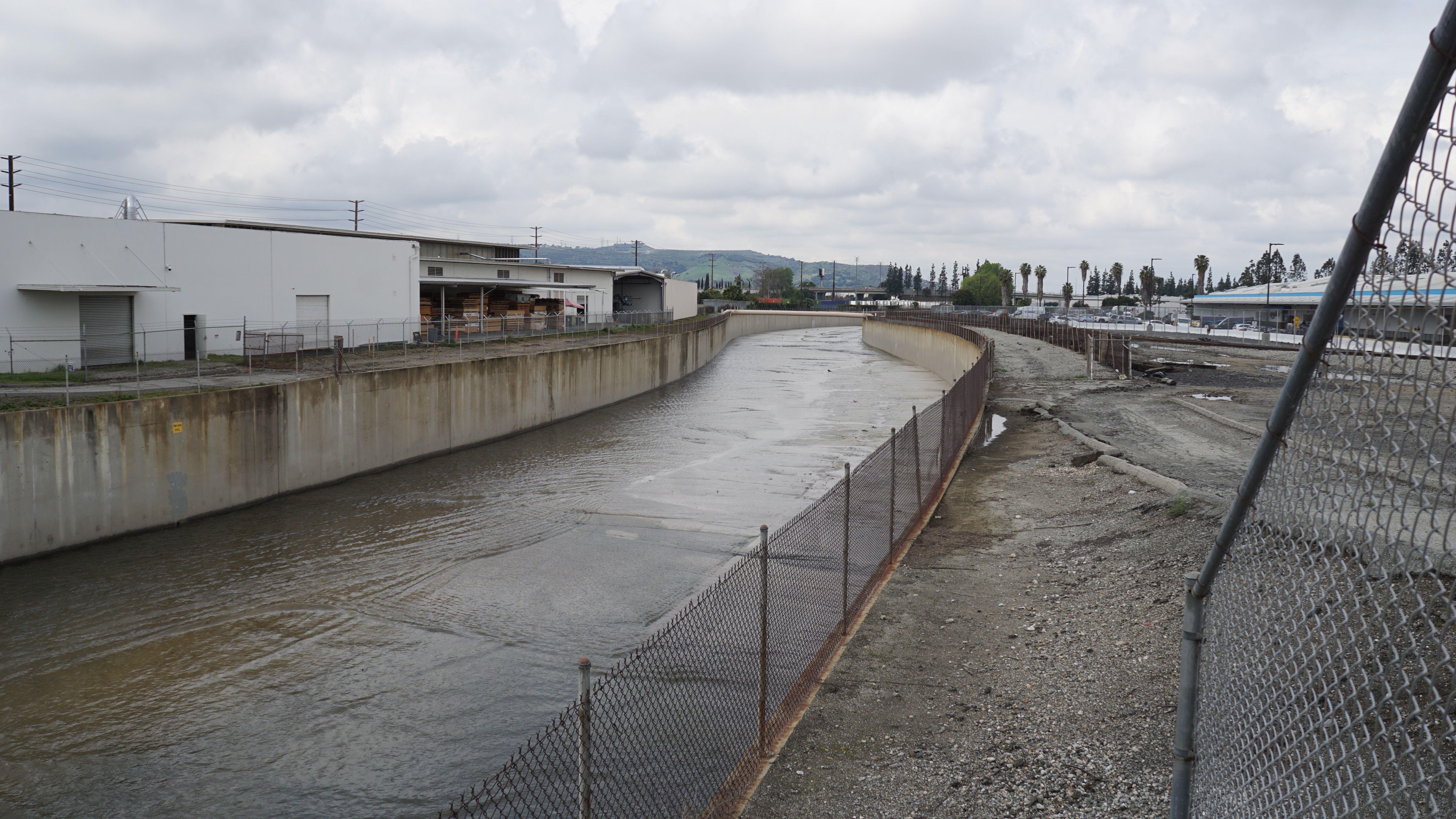
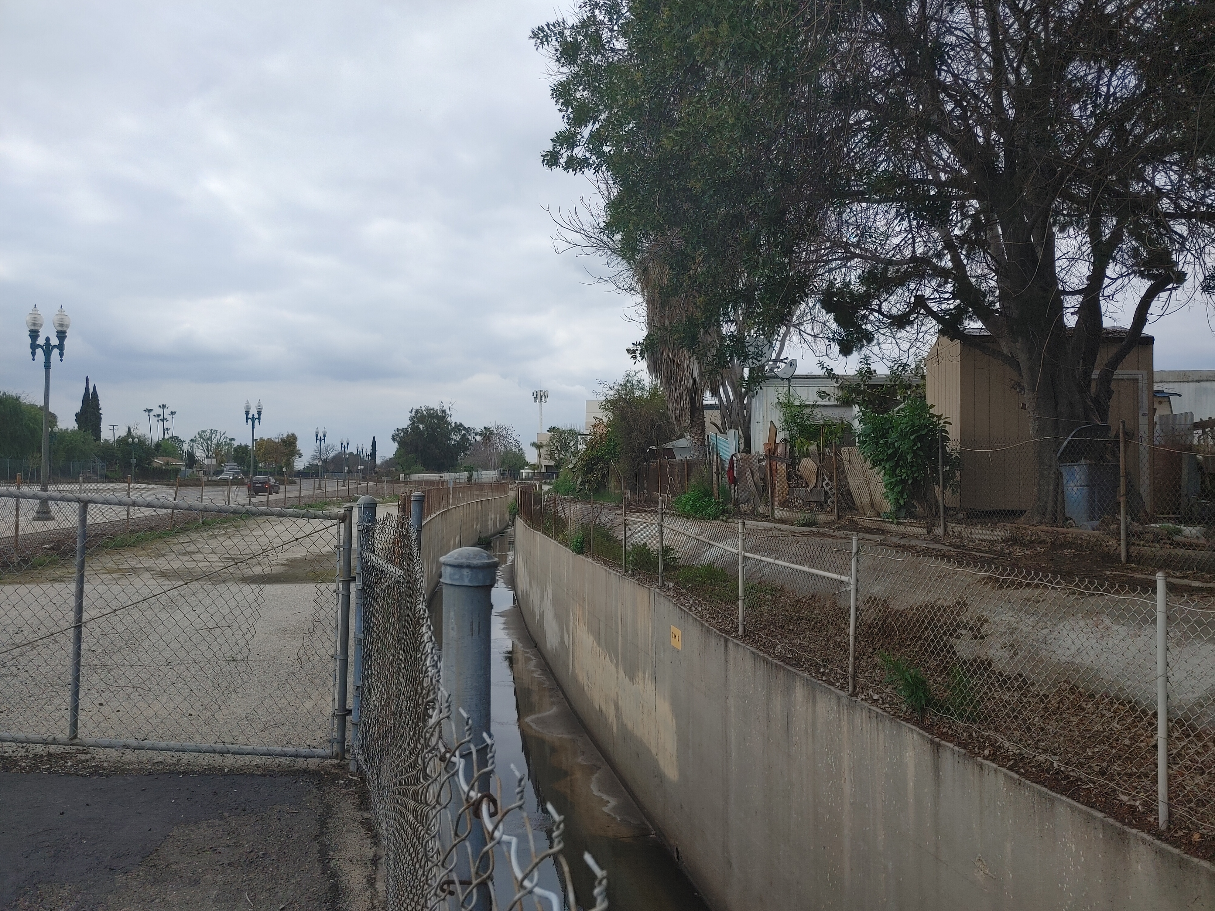
The vast majority of the San Jose Creek today is surrounded by industrial corridors and the usual adjacent working class neighborhoods. SBLA asked Spitzzeri what opportunity building a greenway along the creek poses for the public when so much of the landscape has already been altered to suit private needs.
“It’s a vital point because people talk about the lack of trees, the lack of park spaces. And so when you think of the Emerald Necklace project, for example, and the Whittier Narrows, those are all very valuable things, because especially in the suburban areas you feel like development is everywhere. There’s just not enough places for people to go and relax, enjoy the environment, get exercise.” Spitzzeri says.
Ironically, the San Jose Creek is one of the few places left in the area to green, after centuries of development around it. Could it have shaped Valley Boulevard itself?
“Well, Valley was pretty important because it was the eastern route to get from Los Angeles to even the Colorado River, actually, because Valley would go into the Pomona area, turn into what is now Highway 71, and make your way out towards Temecula…” says Spitzzeri. “So I’m not sure that it was shaped necessarily by the creek. You have to be mindful of where your fording is, because you didn’t have bridges really at all in this area until maybe the 1860s. And so in those very early days, they had to find a place to situate the roads so they could ford the San Gabriel River or the other creeks that are in the area. But later on, as they started developing the ranches and farms, and then the communities, they had to be mindful, obviously, of whether we’re gonna cross the creek and be able to build their bridges and all that.”
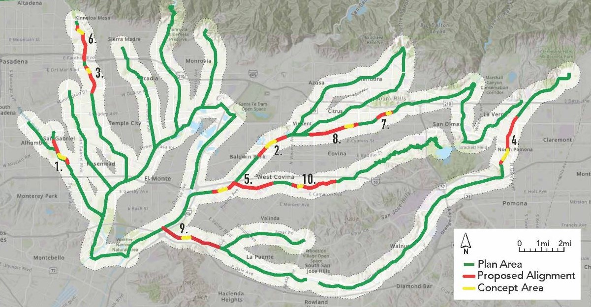
See the San Gabriel River Watershed in more detail.
Streetsblog’s San Gabriel Valley coverage is supported by Foothill Transit, offering car-free travel throughout the San Gabriel Valley with connections to the Gold Line Stations across the Foothills and Commuter Express lines traveling into the heart of downtown L.A. To plan your trip, visit Foothill Transit. “Foothill Transit. Going Good Places.”
Sign-up for our SGV Connect Newsletter, coming to your inbox on Fridays!

Read More:
Streetsblog has migrated to a new comment system. New commenters can register directly in the comments section of any article. Returning commenters: your previous comments and display name have been preserved, but you'll need to reclaim your account by clicking "Forgot your password?" on the sign-in form, entering your email, and following the verification link to set a new password — this is required because passwords could not be carried over during the migration. For questions, contact tips@streetsblog.org.