Pomona To Build Bikeway Along San Jose Creek

The city of Pomona has secured funds to build a section of the San Gabriel Valley Greenway Network. In late January, the state awarded a $11.3 million Active Transportation Program (ATP) Cycle 6 grant for bikeway construction. The design (which hasn’t been completed yet) was paid for with $1.6 million from Metro’s Measure M sales tax.
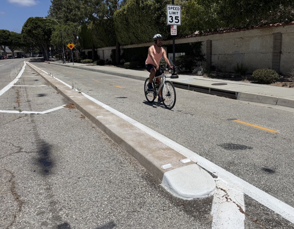
The San Jose Creek Multi-Use Bikeway will run 3.5 miles diagonally from Cal Poly Pomona at Temple Avenue to residential Murchison Avenue just south of the 10 Freeway. “We’re looking at about maybe 13 different public access points,” says Pomona’s Director of Public Works, Rene Guerrero. “That will provide access to roughly ten schools and three public parks along that trail, which we think is pretty key, and I think one of the big reasons why we were awarded the funding for it.”
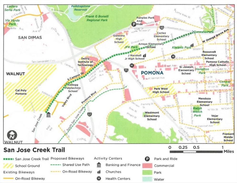
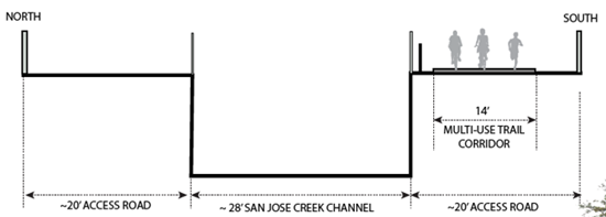
The San Jose Creek flood control channels run directly next to several schools, including Arroyo Elementary, Marshall Junior High, and Ganesha High School. “We do intend on having lighting along the entire stretch of the facility.” says Guerrero, though he says there will be no restrooms built for the path. “We are already in talks with our police department about possible ways in which the facility can be monitored.”
This bikeway has been in the works since 2014, according to Guerrero, when the city of Pomona approved its first Active Transportation Plan. “This project was priority number one in that plan.” The above project map shows a handful of existing bikeways that the SJC bikeway will connect to, and many proposed bikeways. Guerrero estimates the city could break ground in summer of 2024, with community input taking place this summer.
Why build a somewhat out-of-the-way greenway instead of bicycle facilities along Pomona’s major arterial streets? Guerrero says the reason is to encourage more participation. “Part of the idea is that maybe people don’t feel safe riding their bike even in a striped, class II bike lane. But maybe they will feel much safer getting off the street where there are no vehicles. Maybe parents might feel a little bit more comfortable allowing their child to jump on that trail and ride their bike over to school, rather than it being on public streets. We hear about these tragic stories of people riding their bikes and getting clipped or hit by cars and people not paying attention, and we see that more and more on the news. So we want to be able to provide a more enhanced safe haven for those who want to get on their bike.”
Streetsblog’s San Gabriel Valley coverage is supported by Foothill Transit, offering car-free travel throughout the San Gabriel Valley with connections to the Gold Line Stations across the Foothills and Commuter Express lines traveling into the heart of downtown L.A. To plan your trip, visit Foothill Transit. “Foothill Transit. Going Good Places.”
Sign-up for our SGV Connect Newsletter, coming to your inbox on Fridays!

Read More:
Streetsblog has migrated to a new comment system. New commenters can register directly in the comments section of any article. Returning commenters: your previous comments and display name have been preserved, but you'll need to reclaim your account by clicking "Forgot your password?" on the sign-in form, entering your email, and following the verification link to set a new password — this is required because passwords could not be carried over during the migration. For questions, contact tips@streetsblog.org.