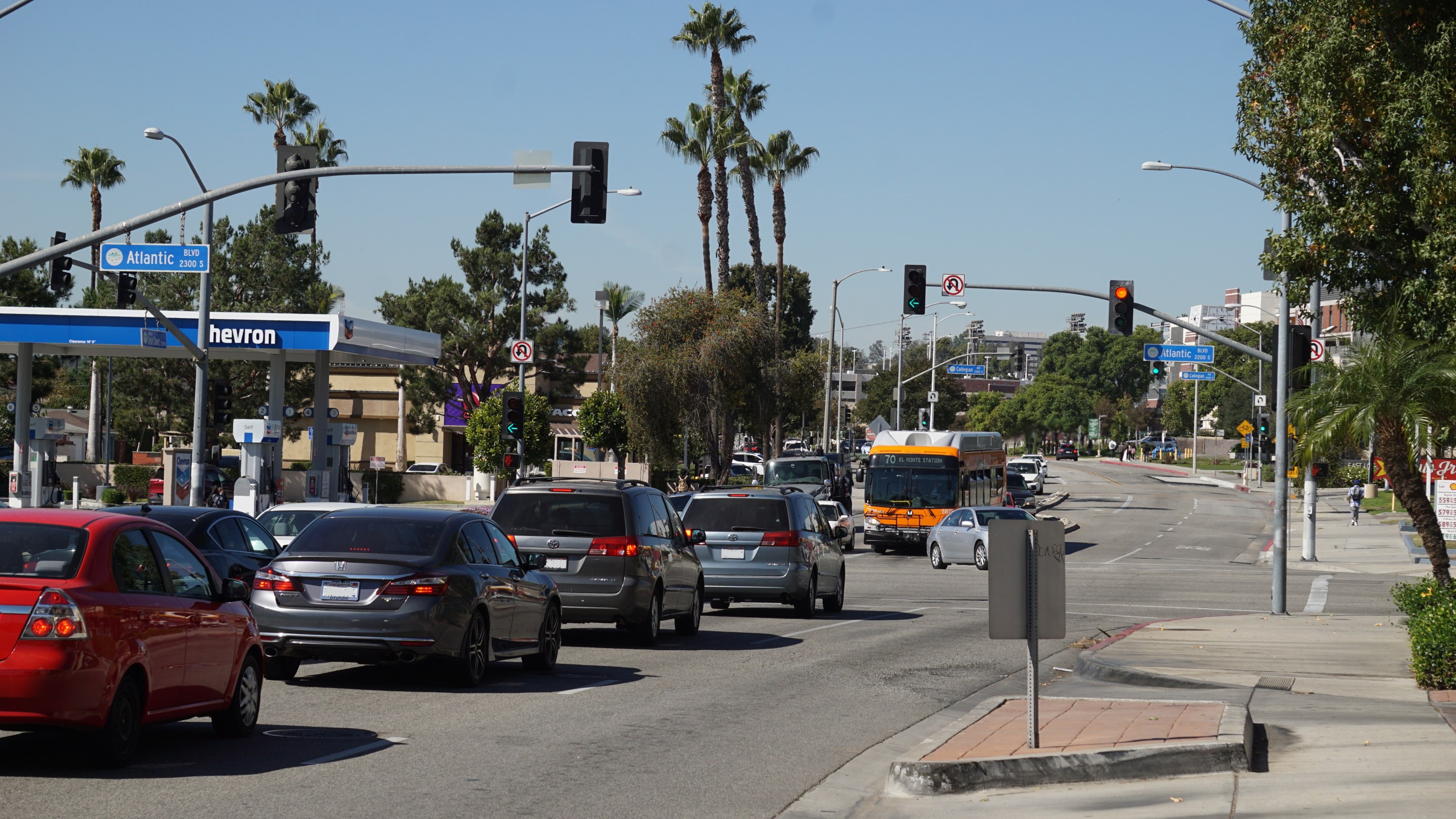
Last Wednesday, Monterey Park City Council unanimously approved a funding agreement with Metro for the 1st Street - Riggin Street - Potrero Grande Drive corridor improvements. This project will include “continuous bicycle facilities (Class II-III bike lanes/routes), missing sidewalks, roadway rehabilitation, ADA compliant curb ramps, and pedestrian improvements” for approximately 5.3 miles through Rosemead, unincorporated South San Gabriel, Montebello, and Monterey Park.
This project is part of Phase I of Metro’s Metro Active Transport, Transit, First/Last Mile (MAT) program, which is funded through Measure M and is expected to invest more than $857 million over the next 40 years into active transportation projects. MAT funding for the project (which Metro approved in 2021) is $6.36 million. That’s on top of $3.6 million in capital improvement money that the city of Monterey Park set aside, before expanding the scope of the project to neighboring communities with the MAT funds, according to Monterey Park Director of Public Works Shawn Igoe.
MAT submittals were not required to have prior planning completed, which is uncommon in most competitive funding programs. Projects have been and will be able to go through an initial scoping phase to arrive at the budget needed to complete the full project.
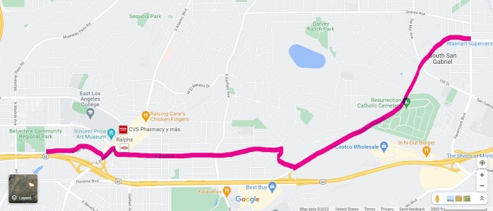
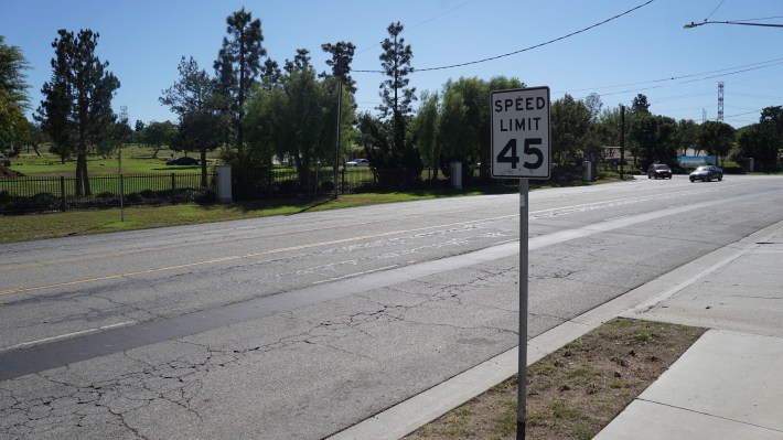
From east to West, the project will begin at San Gabriel Blvd and Potrero Grande Drive. On Potrero Grande, bike lanes are expected to run nearly the street’s whole, diagonal length - about two miles - to its rough end at Markland Drive (by the 60 West offramp). From Markland, it’s a short swerve up to Fulton Avenue (right) and then after a block, the route will go left on Riggin Street. Riggin feels like the meat of this project, aside from Potrero Grande. Riggin has some sharrows and an existing 0.6 mile buffered bike lane from Ferdinand Avenue to Gerhart Avenue. The route continues to Atlantic Blvd, and then will take a left there, down to W. 1st St. It will end at Vancouver Avenue – the boundary between Monterey Park and East LA, just short of Belvedere Park and Hamasaki Elementary.
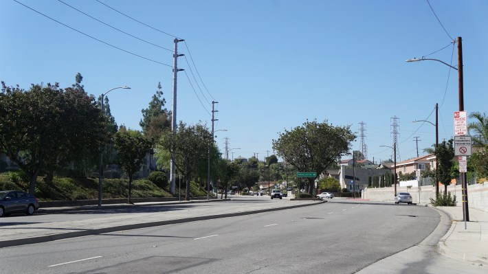
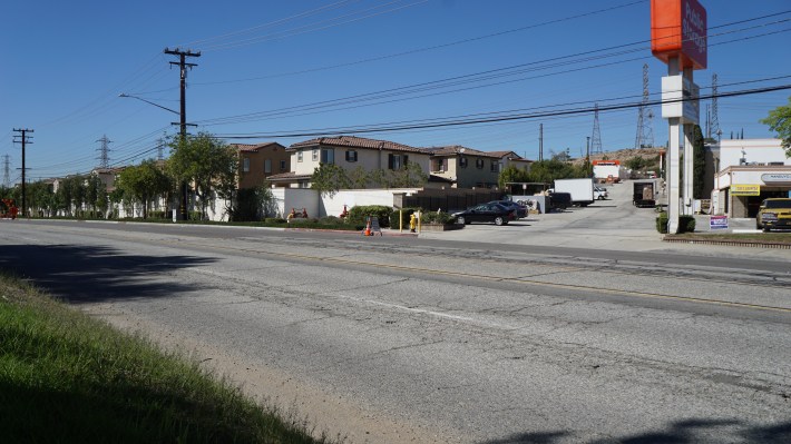
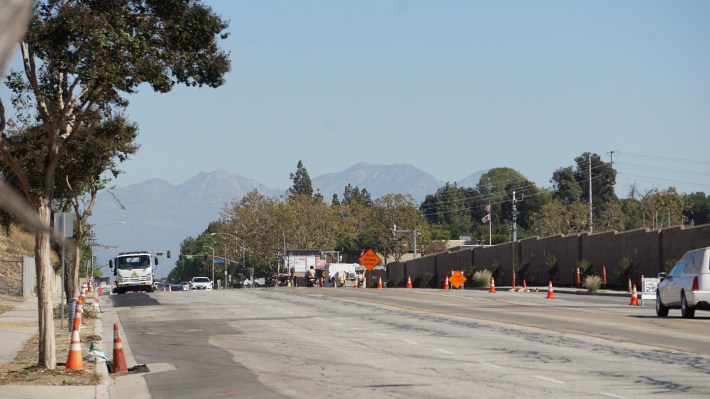
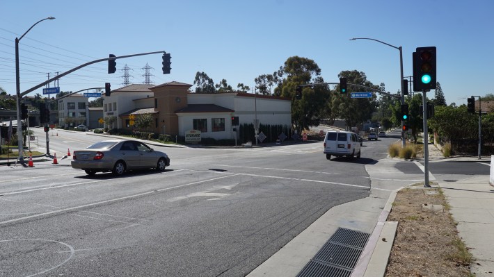
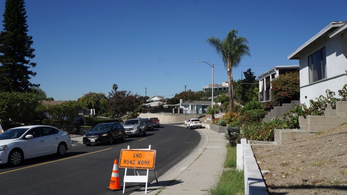
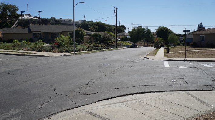
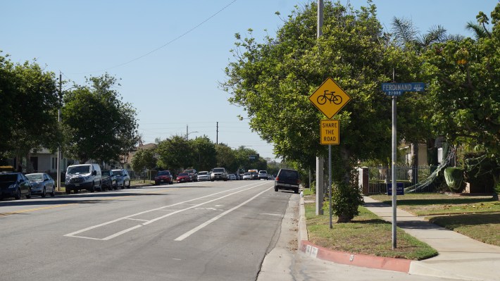
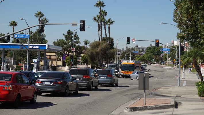
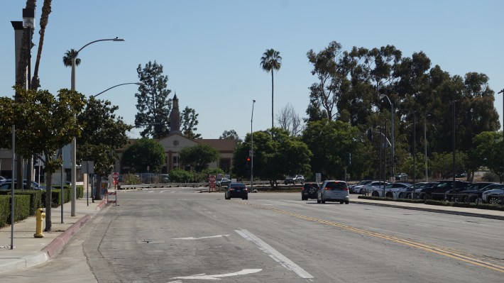
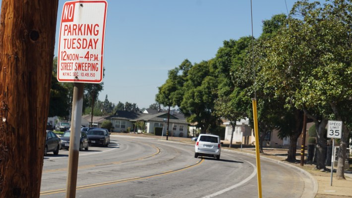
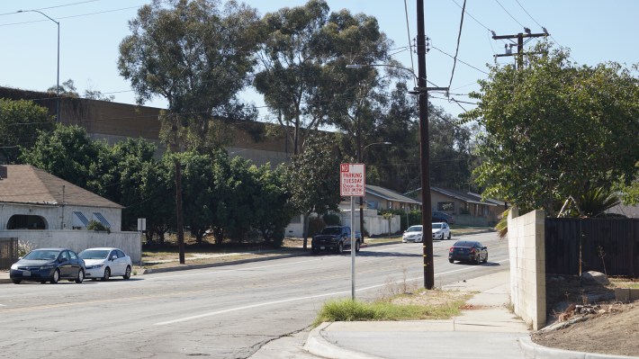
Monterey Park Councilmember Peter Chan said of Riggin Street’s bike lanes, “Not many people use it [...] but the reason why we don't use the bike lanes at this time is because it goes nowhere, only a short distance on Riggin or on Alhambra Avenue [...] But if we connect all the roads eventually then I think more people will use it.”
Former Monterey Park Councilmember Teresa Real-Sebastian - who is running for Council again (there is an empty seat) - said that running a bike route so close to the 60 West offramp at Atlantic and First is potentially dangerous, and suggested instead that the route’s Western terminus be at Avenida Cesar Chavez in front of East Los Angeles College, which Riggin turns into after crossing Atlantic. There are currently sharrows on Cesar Chavez in front of ELAC. (Perhaps bikes safety improvements are needed on both streets, and especially where cycling is perceived as dangerous?)
The 1st Street - Riggin Street - Potrero Grande Drive improvement project’s estimated completion will be in 2025.
SBLA San Gabriel Valley coverage, including this article and SGV Connect, is supported by Foothill Transit, offering car-free travel throughout the San Gabriel Valley with connections to the new Gold Line Stations across the Foothills and Commuter Express lines traveling into the heart of downtown L.A. To plan your trip, visit Foothill Transit. “Foothill Transit. Going Good Places.”
Sign-up for our SGV Connect Newsletter, coming to your inbox on Fridays.
