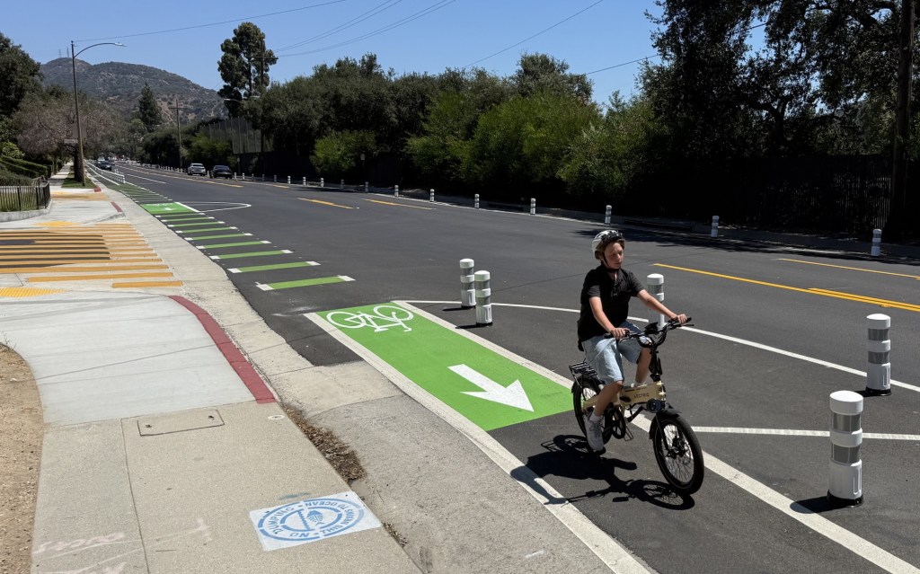
Monterey Park Stripes Buffered Bike Lanes On Riggin Street
The city of Monterey Park recently installed new buffered bike lanes on Riggin Street.
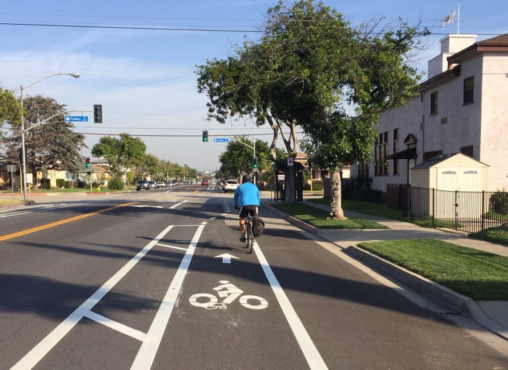
The bikeway extends 0.6-miles on West Riggin Street from Gerhart Avenue to Ferdinand Avenue. Riggin is a fairly wide east-west street about four blocks north of the 60 Freeway. It is largely one- and two-story residential, with some retail at major intersections. The street has very few driveways, as residential parking is largely accessed via a parallel alley.
The buffered bike lanes were added without removing any through-traffic lanes, but the city did reallocate space from a striped median lane.
At both ends, the facility becomes a sharrowed bike route. The sharrows take the bikeway west a block to Atlantic Boulevard where Riggin becomes Avenida Cesar Chavez at East L.A. College. West of Ferdinand where Riggin narrows, the sharrowed bike route extends a half-mile to Wilcox Avenue. There is also a sharrowed bike route four blocks south on Gerhart to the city’s southern border where the bike route connects to the Gerhart bike lanes south of the 60 Freeway in unincorporated East Los Angeles.
The Riggin bike lanes are the beginning of the city of Monterey Park implementing its bicycle plan, adopted in 2014.
Thanks to BikeSGV for tweeting out a photo of the new lanes on January 2.
SBLA San Gabriel Valley coverage is supported by Foothill Transit, offering car-free travel throughout the San Gabriel Valley with connections to the new Gold Line Stations across the Foothills and Commuter Express lines traveling into the heart of downtown L.A. To plan your trip, visit Foothill Transit. “Foothill Transit. Going Good Places.”

Streetsblog has migrated to a new comment system. New commenters can register directly in the comments section of any article. Returning commenters: your previous comments and display name have been preserved, but you'll need to reclaim your account by clicking "Forgot your password?" on the sign-in form, entering your email, and following the verification link to set a new password — this is required because passwords could not be carried over during the migration. For questions, contact tips@streetsblog.org.