The Los Angeles Department of City Planning would like to invite you to attend one of our upcoming Community Workshops for the Expo Line Transit Neighborhood Plans project. The project, which kicked off in June, is focused on adopting new development regulations around existing and future Expo Line stations that will better support vibrant, pedestrian-friendly neighborhoods. A primary project goal is to provide local residents, business and property owners, and employees, the opportunity to voice preferences for building size and design, public amenities, streetscape elements, and pedestrian, bicyclist, and vehicular circulation around the stations. For more information about the project, please visit our website at www.latnp.org or see the attached flyer that was also mailed to local residents and businesses. You are welcome and encouraged to forward this email and flyer to your friends and neighbors.Workshop Details:- Tuesday, November 27, 2012 from 6pm–8pm at the IMAN Center (3376 Motor Ave, Los Angeles, CA 90034). Parking is available onsite or on Motor Ave.- Monday, December 3, 2012 from 6pm–8pm at the Henry Medina Parking Enforcement Center (11214 West Exposition Blvd, 2nd Floor, Los Angeles, CA 90064). Limited parking is available onsite or on Sepulveda Blvd.These are the first of many Community Workshops that will take place over the course of this 2-year planning effort. To view the project timeline, please visit our website at www.latnp.org.Please feel free to contact me with any questions about the project or upcoming workshops. We hope to see you there.Best Regards,Susan Robinson--
Susan Robinson, AICPTransit Neighborhood PlansDepartment of City PlanningCity Hall - 200 N. Spring Street, Room 667Los Angeles, CA 90012tel: 213.978.1319 (direct)
About the ProjectThe City of Los Angeles, in partnership with Metro, aims to support vibrant neighborhoods around transit stations, where people can live, work and shop or eat out, all within a safe and pleasant walk to stations. In June 2012, the Los Angeles Department of City Planning kicked-off a 2-year effort to create Transit Neighborhood Plans for the areas surrounding the following ten transit stations:Existing Exposition Light Rail Line station• Culver City (station now open)Future Exposition Light Rail Line stations scheduled to open in 2016• Palms• Expo/Westwood• Expo/Sepulveda• Expo/BundyFuture Crenshaw/LAX Light Rail Line stations scheduled to open in 2018• Expo/Crenshaw• MLK/Crenshaw• Slauson/Crenshaw• West• Century/AviationThe focus of the Plans will be the establishment of new development regulations that better support transit ridership, such as allowing some increased development intensity near stations where appropriate, requiring the design of new buildings to be pedestrian-oriented, and improving the configuration and condition of streets to better promote pedestrian, bicycle, and vehicular circulation.The Plans will generally include areas within a half-mile of the Crenshaw and Exposition transit corridors, focusing on neighborhoods within a 15 minute walk of each of the ten stations. Please note that the design and location of future Metro light rail stations are determined by Metro and are out of the scope of this project, which is focused on enhancing the areas around the stations.The creation of the Plans will be a collaborative effort, led by the Department of City Planning, with extensive input from local stakeholders, including residents, employees, business and property owners, developers, and community organizations. This planning effort will provide the opportunity for stakeholders to voice preferences for building size and design, public amenities, streetscape elements, and pedestrian, bicyclist, and vehicular circulation. The Department of City Planning will be coordinating with other relevant Departments, including the Departments of Transportation and Public Works, as well as the cities of Inglewood, Culver City, and Santa Monica.Transit Neighborhood Plans will ultimately require adoption by the City Council, following a recommendation by the City Planning Commission. The Department of City Planning aims to present the Plans to the City Planning Commission in Winter/Spring of 2014.The Plans for the Expo/Crenshaw, MLK/Crenshaw, Slauson/Crenshaw, West stations along the Crenshaw/LAX Light Rail Line will be created to complement and implement the West Adams-Baldwin Hills-Leimert New Community Plan and associated regulatory changes, which are now moving through the City’s adoption process. For more information about the West Adams Community Plan, please visithttps://sites.google.com/site/westadamsncp/. The project is partially funded by a $3.1 million grant from Metro. Metro’s Transit-Oriented Development (TOD) Planning Grant program funds planning efforts that enhance access to transit through the promotion of TOD principles, increase ridership by reducing the number of modes of transportation necessary to access transit, reduce greenhouse gas emissions through encouraging infill development along transit corridors, and support and implement sustainable development principles.
Events
Expo Transit Neighborhood Planning Meetings
Stay in touch
Sign up for our free newsletter
More from Streetsblog Los Angeles
Wednesday’s Headlines
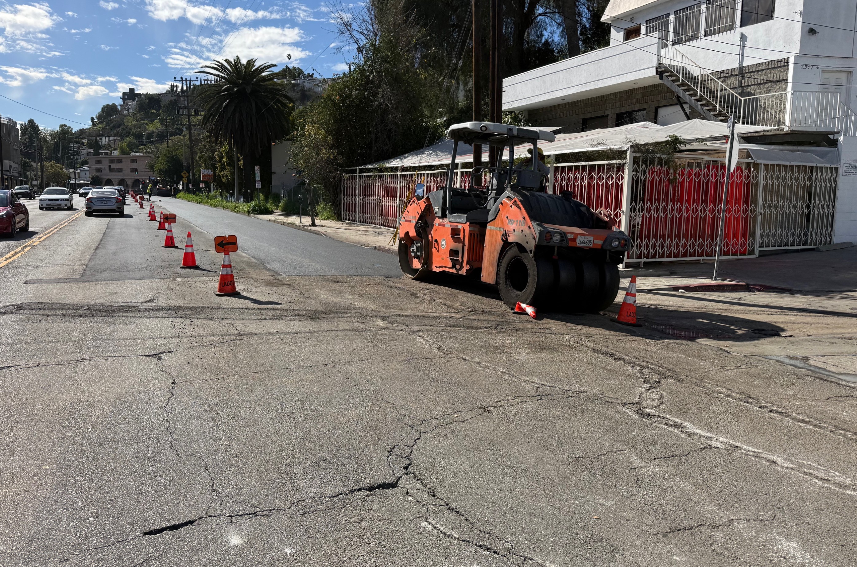
ICE, ULA mansion tax tweaks delayed, resurfacing, Metro D Line, car-nage, and more
Tuesday’s Headlines
Measure ULA, ICE, SB79, World Cup, CD9, Glendale, UCLA, Expo Park, WeHo, car-nage, and more
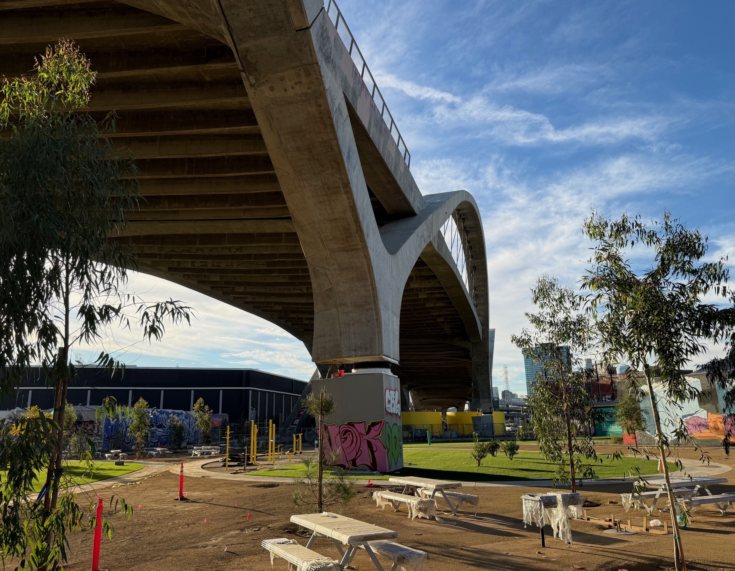
Eyes on the Street: 6th Street Viaduct ‘PARC’ Construction
Sixth Street PARC - Park, Arts, River & Connectivity - construction is nearly complete, and expected to finish this year
Monday’s Headlines
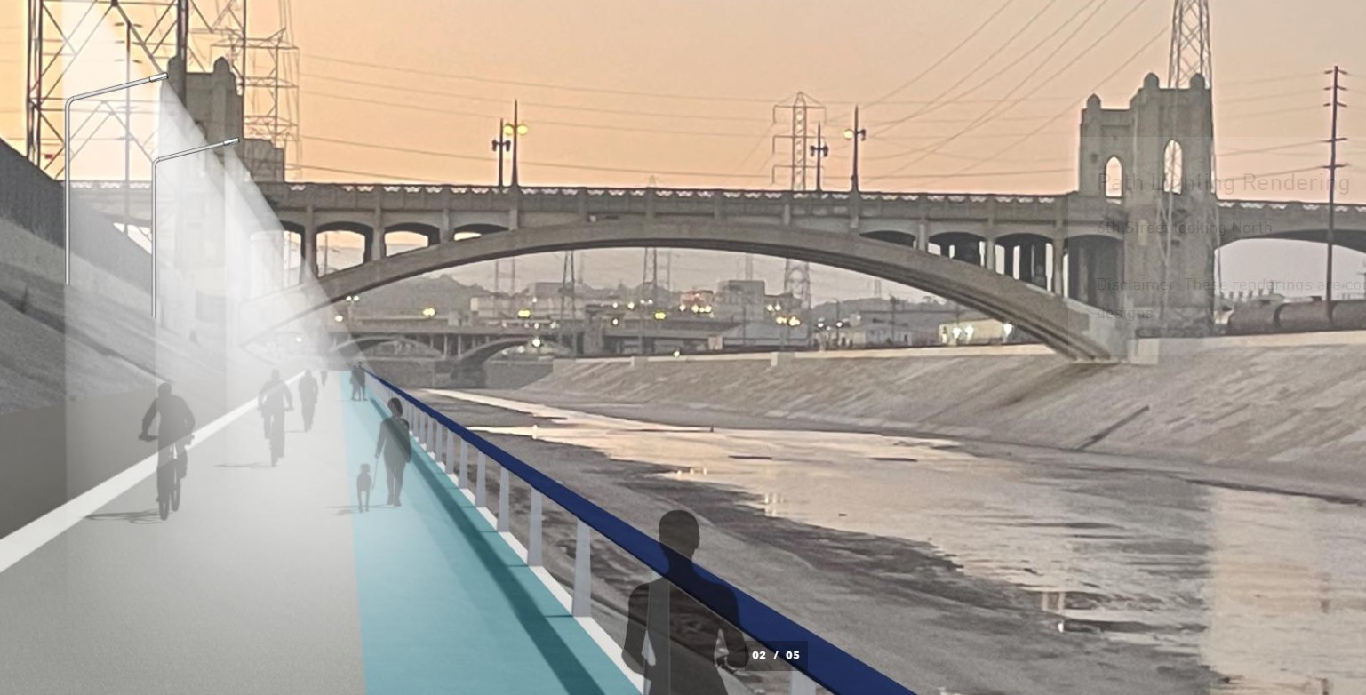
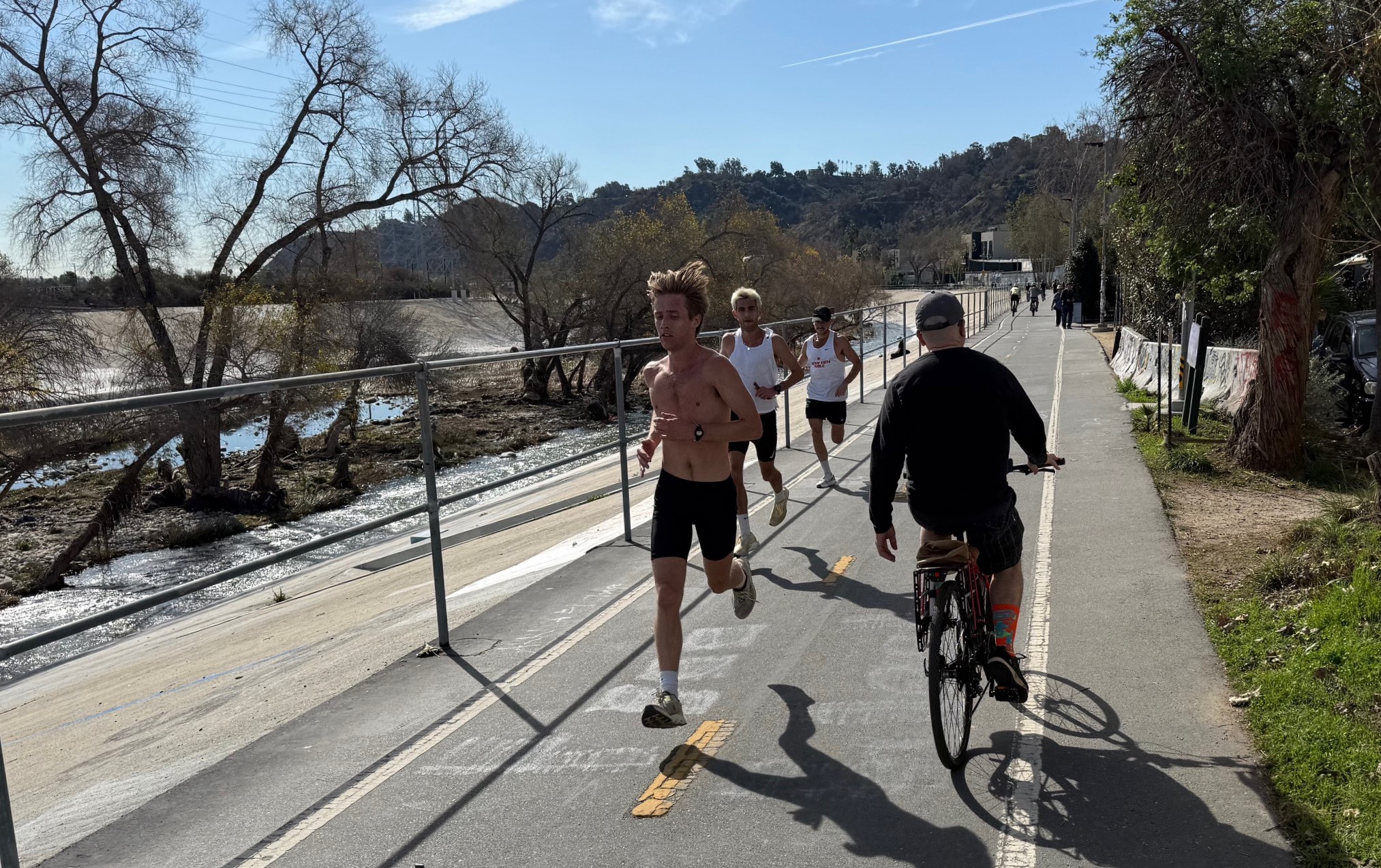
ICE, die-in protest, Metro, La Verne, L.A. River path, Pasadena, Measure ULA reform, Van Nuys Blvd, car-nage, and more
Friday’s Headlines
Valley-Westside rail, South Bay rail, transit-oriented housing, green WeHo bike lanes, Country Club housing, LAPD, Avenue 60, car-nage, and more
