New Video and Map Reveal L.A. Streetcar Transit History
Watch City Beautiful's new video on the history of L.A.'s streetcars, and see them mapped beautifully by Jake Berman

By
Joe Linton
12:13 PM PDT on September 7, 2018


There are some interesting recent pieces that tell some things about L.A.’s transit history, and how it shaped the city Angelenos move through today.
For your Friday enjoyment, watch City Beautiful’s new YouTube video on the history of L.A.’s once-extensive streetcar systems. Streetsblog USA makes a nice cameo!
Readers may have spotted this at Reddit, L.A. Taco, and Curbed, but you read it here fourth! Check out Jake Berman’s sleek new map (at top of post) of L.A.’s streetcar lines at their peak. Purchase your own prints via Berman’s Etsy page.
More from Streetsblog Los Angeles
Thursday’s Headlines
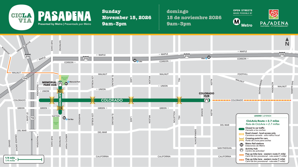
Lots of news on the incoming mayor, and let's not forget it's a CicLAvia weekend

November 12, 2026
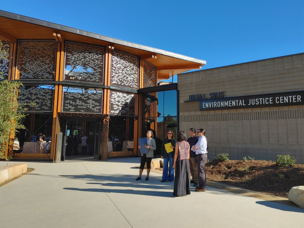
SGV Connect 151: Hilda Solis’ Environmental Justice Center
L.A. County Supervisor Solis reflects on the environmental hardships of the Puente area, and her 30+ year mission to bring it a new regional park and educational facility

November 10, 2026
Tuesday’s Headlines
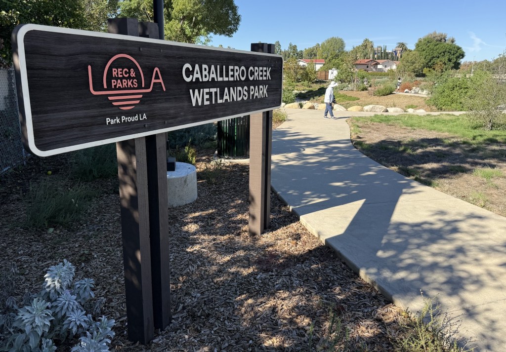
Election news, ICE, Horvath running for CEO, e-bikes, Caballero Creek park, car-nage and more
November 10, 2026
This Week In Livable Streets
CicLAvia returns to Pasadena, Culver City mobility, Olympic Blvd. bus lanes, ESFV rail parking, and more
November 9, 2026
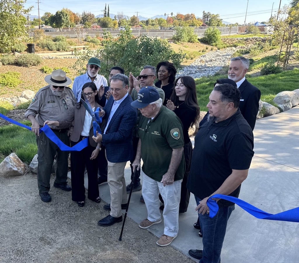
Blumenfield and Project Partners Cut Ribbon to Open New Caballero Creek River Park
Multiple city departments and state agencies collaborated to reclaim city land that "looked like a junkyard" turning it into a lush green park along the L.A. River in the West San Fernando Valley
November 9, 2026