Earlier this year, a group of concerned community members began meeting to explore ways to "Fix the Fairfax Asterisk."
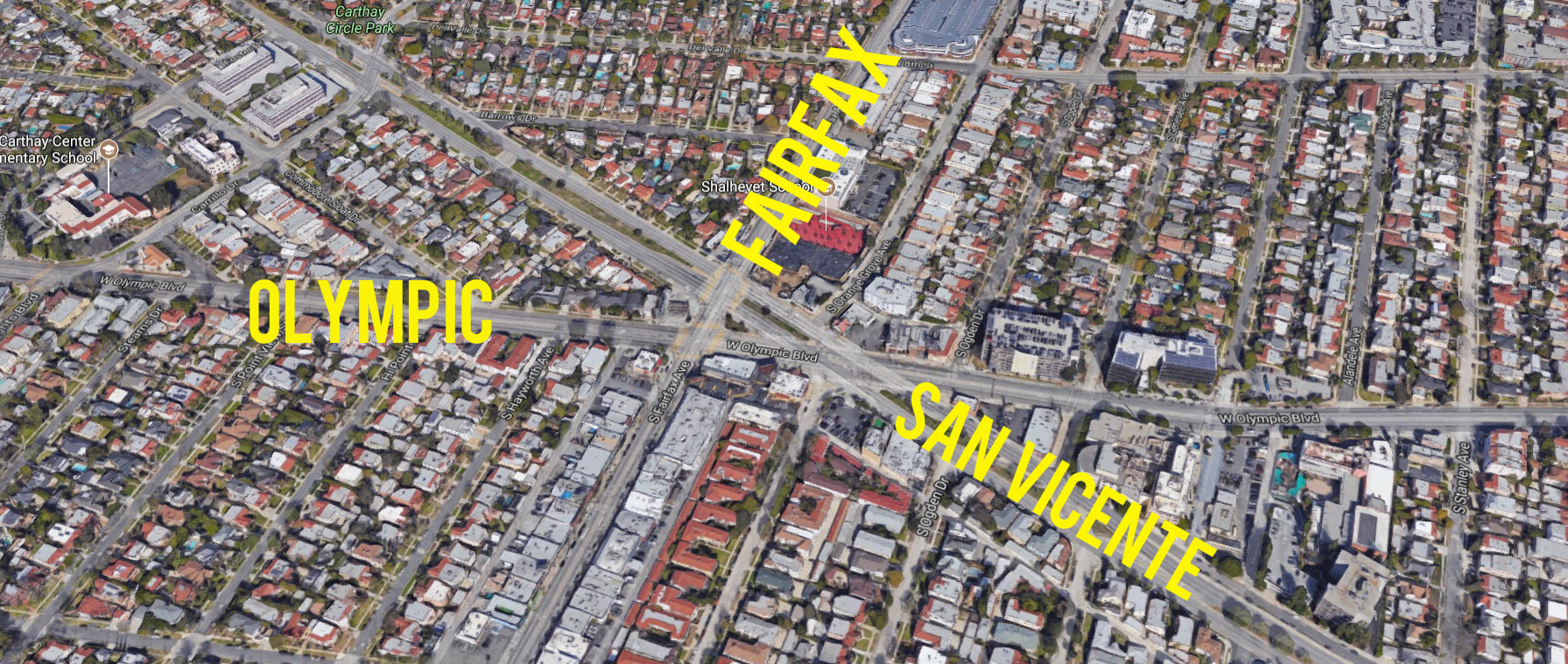
The Fairfax Asterisk is a recently-coined name for the busy intersection where Fairfax Avenue, Olympic Boulevard, and San Vicente Boulevard come together. It is one of the rare spots where L.A. has a six-way intersection with three major thoroughfares. It is also about a half-mile south of the under-construction Metro Purple Line subway station at Wilshire/Fairfax, expected to open in 2023.
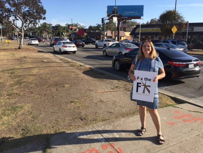
SBLA met with Fix the Fairfax Asterisk spokesperson Michelle Menna, who lamented the dangers faced by her daughters when walking across the asterisk to get to school.
"Between seven and nine and between three and seven... it’s absolutely crazy" Menna explained. She lamented that it takes multiple signal phases for pedestrians and drivers to get through the oversize intersection, with pedestrians stuck on median islands with garbage and homeless encampments. Further, per Menna, pedestrians, including her daughters, step off the islands and then have to weave through gridlocked cars stopped blocking crosswalks, or have to dodge moving cars to get across.
Menna is thinking of equipping her high school student daughter with a GoPro camera to document problems encountered walking to school.
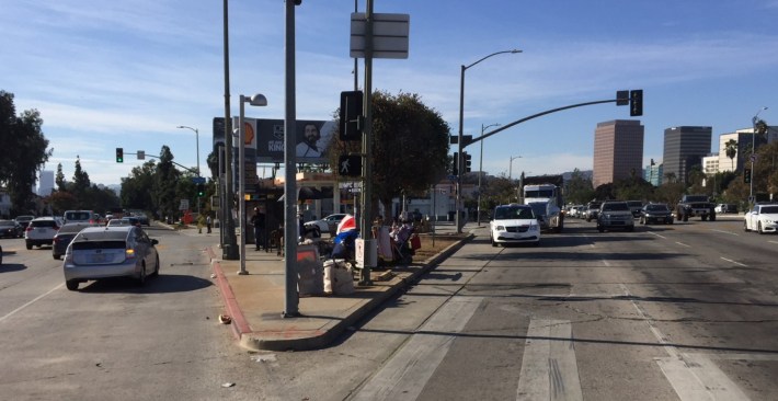
Menna said that Fix the Fairfax Asterisk is looking into both short- and long-term fixes to make the asterisk area safer and more walkable. Per Menna, short term solutions could include things like crossing guards, in-street pedestrian signage (similar to West Hollywood), or pedestrian head-start intervals. Menna sees more expensive longer term solutions potentially involving grade separation - a bridge or a tunnel to separate cars from pedestrians. At this point, though, the group is trying to work with the city to do a study that would work with the community to propose and evaluate potential walkability improvements.
Working with the city has not been easy, as the asterisk straddles three different Los Angeles City Council districts. The area east of Fairfax is Council District 5, represented by Paul Koretz. The area west of Fairfax is split along San Vicente, with the north in David Ryu's CD4, and the south in Herb Wesson's CD10.
Fix the Fairfax Asterisk currently includes neighbors from Carthay Square, Carthay Circle, and Wilshire Vista - including Little Ethiopia. Readers interested in getting involved in efforts to Fix the Fairfax Asterisk can contact the group via their Facebook page.
