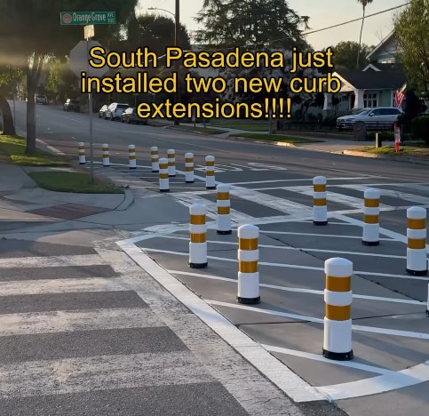
What If Washington Never Built Metro?
Rail~Volution 2011 marks the first time since 2002 that this conference for all things transit and smart growth has taken place in the nation’s capital. When it comes to livability, Washington and neighboring Arlington County have some great stories to share with the rest of the country.

At the heart of the region’s success is, of course, the Washington Metro, which has shaped development for more than three decades. In fact, so much of the land near Metro stations has been developed that ridership is projected to reach the design capacity of the current system within the next 20 years. The Washington Metropolitan Area Transit Authority is currently mapping out how to respond.
At a panel this morning, Nat Bottigheimer, an assistant general manager at WMATA, shared some results from an internal study the agency conducted as part of this process. The core question he investigated: “What is it you’re actually getting from a transit investment?”
The agency’s research and modeling produced some intriguing numbers demonstrating how the creation of Metro — its 86 stations and 106 miles of track — has benefited the region:
- Since the system was created, $212 billion in real estate value has been added within a half-mile of Metro stations.
- Land value near Metro stations generates $2.8 billion annually in property tax revenues. $195 million of that is directly attributable to transit.
- Households in the region reap the equivalent of $705 million per year in time savings thanks to Metro.
- Households save $305 million per year on costs related to owning and driving cars.
- Every day Metro riders walk 33,000 miles.
On the other side of the coin, there’s everything that Metro has prevented from happening. Without Metro…
- Commuters would have to put up with commutes that take 25 percent longer. This would effectively curtail people’s access to jobs and employers’ access to the workforce.
- The region would see more than a million additional auto trips per day.
- This traffic would require 1,000 additional lane miles to accommodate, the equivalent of two Capital Beltways’ worth of asphalt.
- Four to six more traffic lanes across the Potomac would be necessary.
- The downtown core would be eviscerated by parking. To store all the extra cars would take 200,000 parking spots, the equivalent of 170 blocks filled with five-story parking structures.
- All that car infrastructure would cost nearly $11 billion to build, and impose huge maintenance costs every year.

Read More:
Streetsblog has migrated to a new comment system. New commenters can register directly in the comments section of any article. Returning commenters: your previous comments and display name have been preserved, but you'll need to reclaim your account by clicking "Forgot your password?" on the sign-in form, entering your email, and following the verification link to set a new password — this is required because passwords could not be carried over during the migration. For questions, contact tips@streetsblog.org.