Puente Creek Bike Path Coming to La Puente, Valinda, and City of Industry
Here’s another incoming addition to the 130 mile SGV Greenway Network: the Puente Creek Bikeway. Construction is tentatively scheduled to begin in fiscal year 2025-2026 and Los Angeles County Public Works says it will take about a year to complete. The price tag is $12 million, and the project is funded by the state Active Transportation Program and the California Natural Resources Agency.
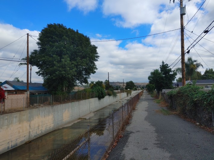
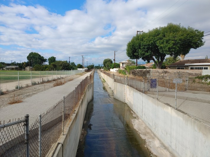
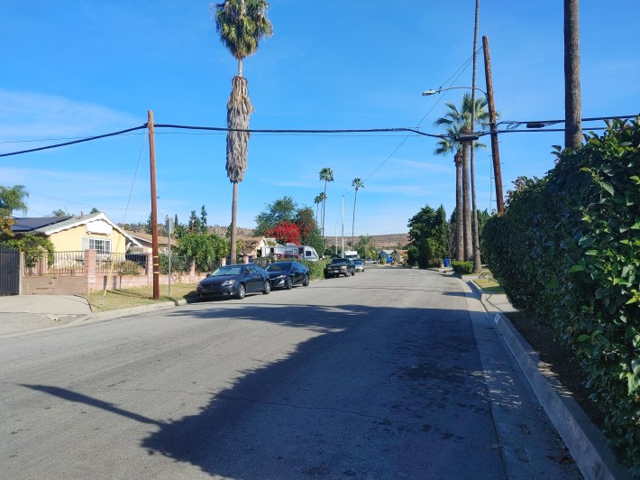
When it’s done, residents of La Puente and Valinda will have a 2.2 mile facility to bike, walk, and scoot along between the busy shopping areas on Hacienda Boulevard and Amar Road in the west and the Filipino Plaza at Azusa Avenue and Amar in the east.
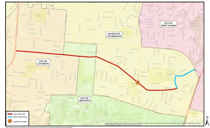
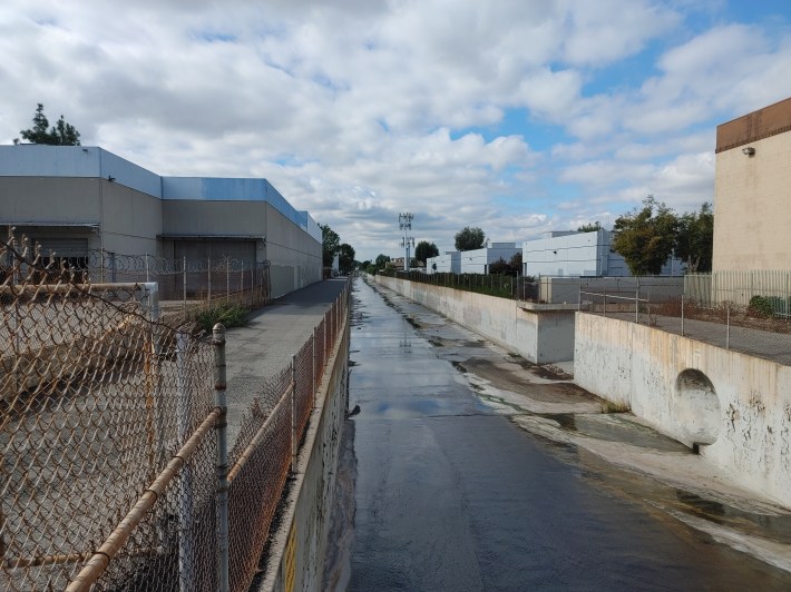
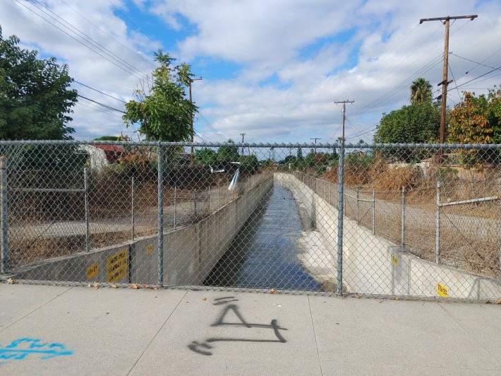
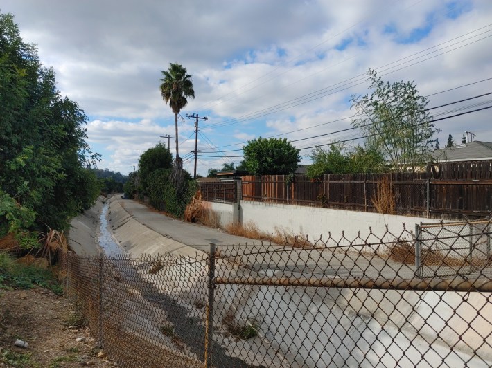
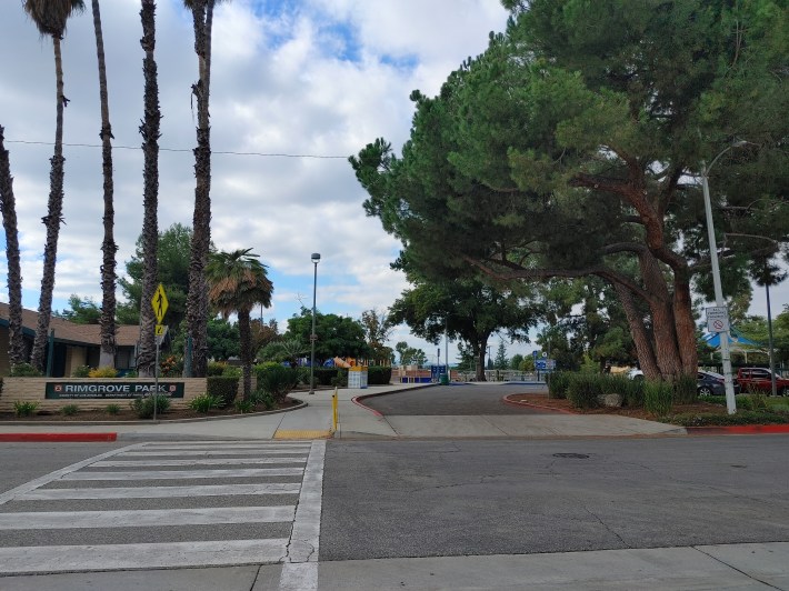
The walk/bike path will run for 1.8 miles along the Puente Creek Flood Control Channel, starting at Hacienda Blvd. just north of Loukelton Street. It will continue until Rimgrove Drive (and Rimgrove Park) in the unincorporated community of Valinda.
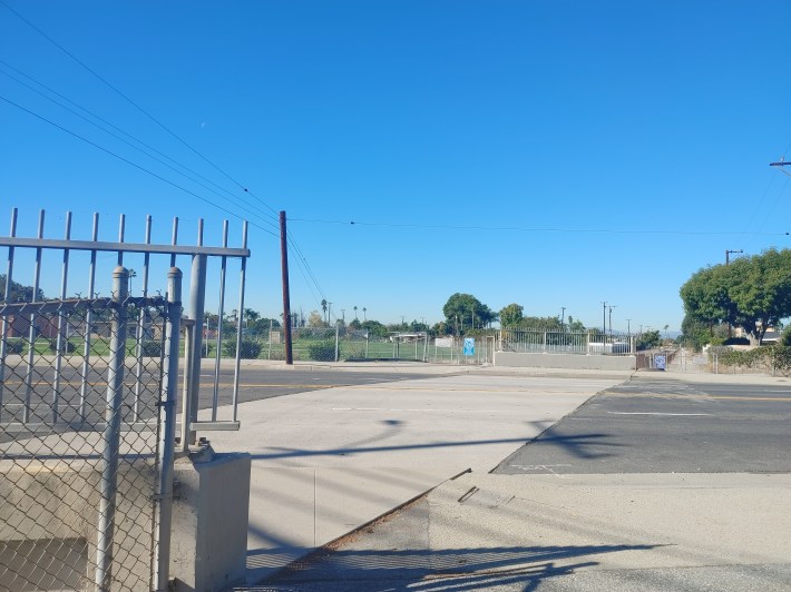
The east end of the bikeway drops to a bike route, with 0.4 miles of sharrows along Rimgrove and onto Witzman Drive up to Amar Road. It ends just shy of the high traffic intersection at Amar and Azusa in West Covina.
L.A. County Public Works Senior Project Manager Lisa Wuong told La Puente City Council when she presented a project update in late October ‘23, “because the bike trail and pedestrian trail is kept separated from vehicular traffic, we see this as a part of a network where kids can walk to school and safer spaces. We want to bolster equity in our communities.”
The route could be used by students from Workman High School, Sierra Vista Middle School, Grandview Middle School, and Wing Lane Elementary.
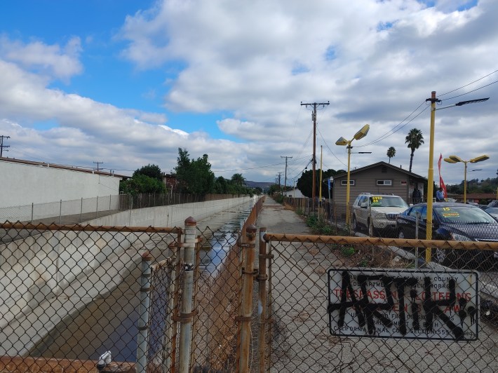
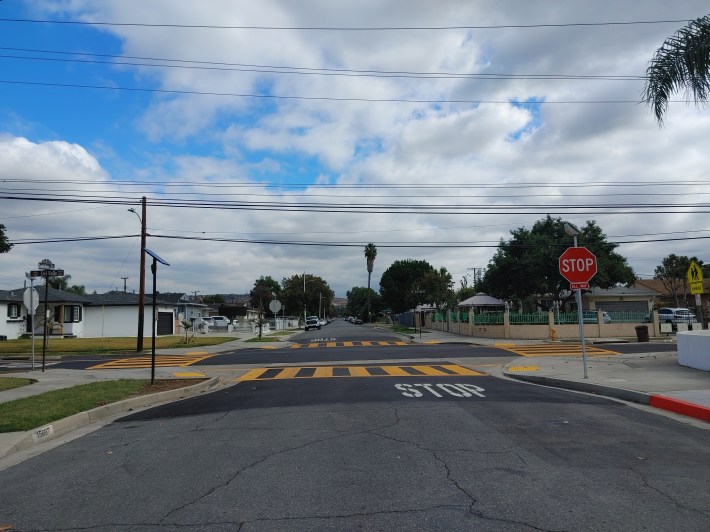
The project will include a new pedestrian crossing signal and rest stop where the creek path crosses Valinda Avenue. Various typical features will be installed: benches, wayfinding signage, landscaping, fencing on the flood channel, and decorative wrought iron access gates that lock on a timer.
The project includes a few additional off-creek features to help make neighborhood streets better for walking. LACDPW is planning two speed tables at intersections one block south of the creek path: both on Loukelton – at Del Valle Avenue and Echelon Avenue.
Coordinating access to the path between La Puente, the county (Valinda), and the brief stretch of Industry it will pass through was the only quibble from any of La Puente’s council members, in this case, David Argudo.
“I think this is a great idea, but how’s it gonna work when […] La Puente wants to open it from, say, eight in the morning to eight at night, Industry has it open all night, and the county has it from 12 to 12?” asked Argudo.
“I think the best way to handle that is probably with some signage.” said Wuong. Note that the gates would still allow people out once locked.
Wuong also told the council no right-of-way acquisitions would have to be made, only “paper easements” wherein Public Works would need 12 property owners to grant permission for the bike path to operate along the flood control channel. “There will be no changes to the existing property lines,” said Wuong.
Streetsblog’s San Gabriel Valley coverage is supported by Foothill Transit, offering car-free travel throughout the San Gabriel Valley with connections to the Gold Line Stations across the Foothills and Commuter Express lines traveling into the heart of downtown L.A. To plan your trip, visit Foothill Transit. “Foothill Transit. Going Good Places.”Sign-up for our SGV Connect Newsletter, coming to your inbox on Fridays!

Read More:
Streetsblog has migrated to a new comment system. New commenters can register directly in the comments section of any article. Returning commenters: your previous comments and display name have been preserved, but you'll need to reclaim your account by clicking "Forgot your password?" on the sign-in form, entering your email, and following the verification link to set a new password — this is required because passwords could not be carried over during the migration. For questions, contact tips@streetsblog.org.