
A First Look at the Orange Line Extension from Canoga to Chatsworth
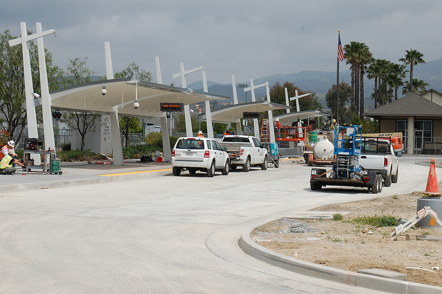
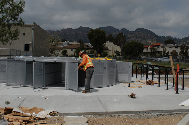
Last week, I had the chance to tour the new Orange Line BRT extension from where the Orange Line currently ends in Canoga northward for four miles to the Metrolink Station in Chatsworth. Even as construction of some of the stations continues, test buses run along the route. Greg Spotts, with the Mayor’s Office, predicts that the line will open sometime next month, although you never know what problems can arise as testing continues.
The tour consisted of both a car trip up and down the roads parallel the route followed by a tour of the actual line on the bus. Adding a twist to the tour, Spotts and I joined a group of Brazilian journalists touring and reporting on American BRT in advance of a twenty kilometer (just over twelve miles) route opening in their country.
Below are some thoughts and media on my first impressions of the route as a rider. The below video is from my flip video pointing out the front of an Orange Line bus as we head from Chatsworth back to Canoga. The entire trip took about twelve minutes, although the bus driver told me that the transponders that will communicate with traffic signals were not completely synched at the time of our tour. You can hear the Brazilian news team in the background, and occasionally I’ll narrate some interesting occurences while the video rolls.
As for my impression of the line, if I didn’t know what to look for I might declare it near ready to open. The trip was smooth and even though it was off-peak the bus kept pace with a cars’ congestion free trip on an adjacent road. I sat most of the way to Chatsworth and stood on the way back to Canoga. Some of the features that make Bus Rapid Transit more than just buses on a fixed guideway were still being worked out. The bus arrival announcements weren’t operating and as mentioned above, the signal sync that gives priority to the buses at intersections wasn’t worked out.
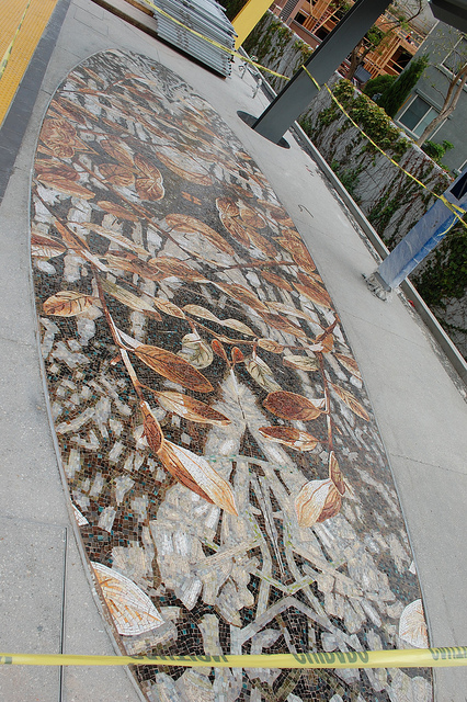
For more first impressions in the form of a captioned photo essay, read on after the jump.

Streetsblog has migrated to a new comment system. New commenters can register directly in the comments section of any article. Returning commenters: your previous comments and display name have been preserved, but you'll need to reclaim your account by clicking "Forgot your password?" on the sign-in form, entering your email, and following the verification link to set a new password — this is required because passwords could not be carried over during the migration. For questions, contact tips@streetsblog.org.


