 Pasadena proposes turning the Rose Bowl Circle which currently has two car lanes into one that is friendlier for cyclists, pedestrians and people that want to be outside.
A couple of years ago, the City of Pasadena considered banning bicycles from what they're now calling the "Rose Bowl Recreation Loop" because of the conflict being created between cyclists and car drivers. At the time the city sided with the drivers citing their "commutes" as more important than the cyclists and pedestrians using the loop as a public space. Pasadena's plan was hotly debated, but eventually shelved.
What a difference two years make. After last year's hugely popular "Car Free Rose Bowl" event, attended by just about every planner and member of the Pasadena DOT on payroll, the city decided to take a second look at their plan and the change could barely be more drastic. Pasadena is now proposing two plans that would increase access for cyclists and pedestrians in two different plans that will be presented at a community meeting tomorrow between 5 and
7:30 p.m. at the
Brookside Golf Club and Lot K. For more information please call
626-744-4610.
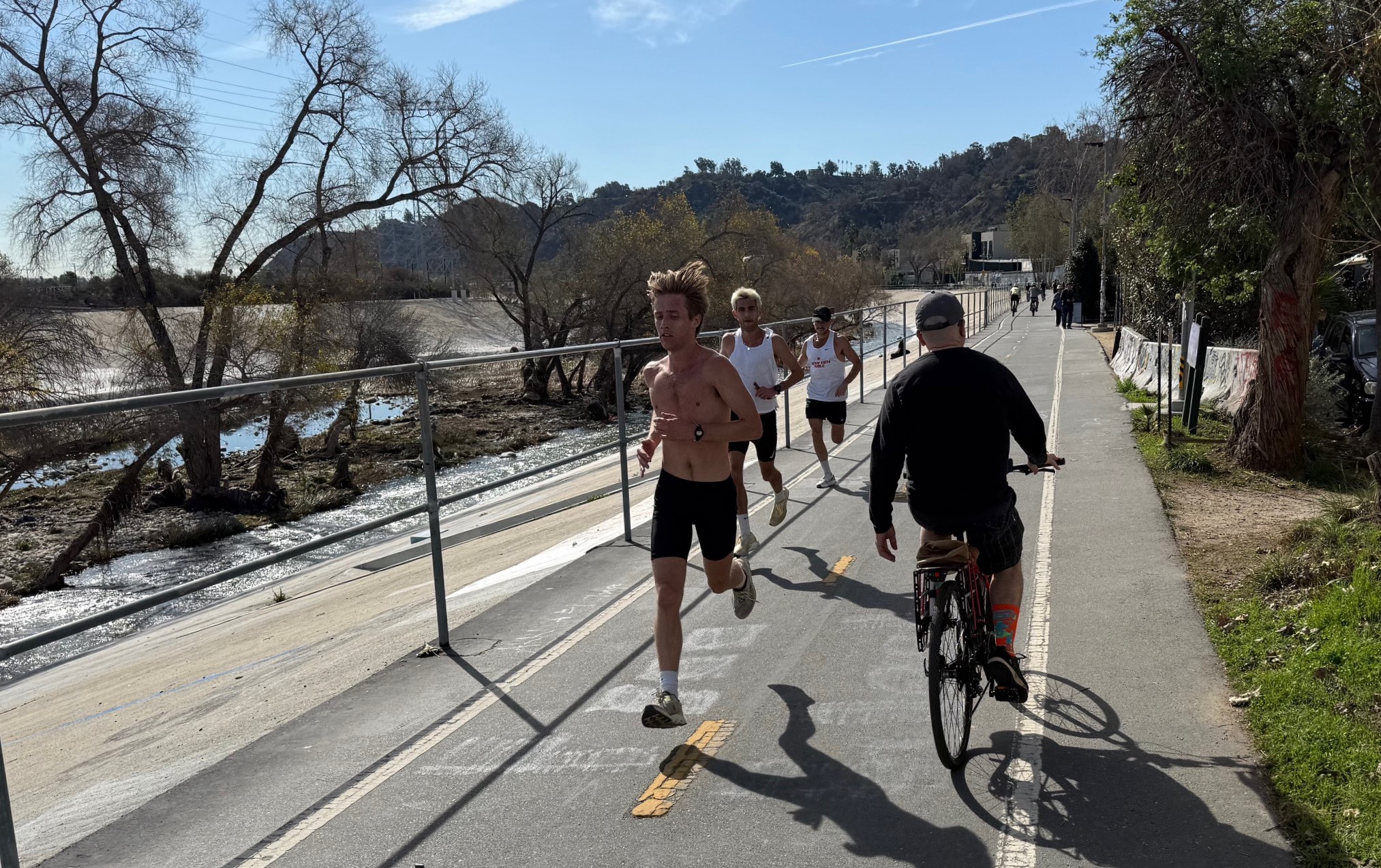
For those of you unfamiliar with the Rose Bowl Circle, it's a three-mile loop around the stadium that provides access to the parking lots and a handful of local roads. The loop is popular with recreational and racing cyclists from around the region and beyond because of the well-maintained roads, flat area and scenic and easy-to-access location. In addition, the area is also popular with residents who use the walkway for exercise or just to spend some time outside.
Let's take a look at the three options outlined for Pasadena by their consultants at Crain & Associates.

The first option is to leave things as they are. Pasadena is well aware that there are serious problems with the current plan, and lists them in the report available on the project website.
- Pavement markings and signs specify one-way pedestrian flow, but are disregarded by many.
- Four-foot striped buffer is intended to separate pedestrians from bicyclists. However, pedestrians use the buffer as additional walkway, and often encroach into the bicycle and vehicle lane.
 Enhanced Two-Way Walkway Proposal
However, they seem much happier with the other proposed alignments. The second proposed alignment, entitled the "Enhanced Two-Way Walkway" alignment widens the pedestrian area at the expense of street parking. Note the change in tone when the city's presentation outlines the "features" of this proposal versus that of the "leave it alone" option.
- Walkway is widened to 13 feet, allowing 2-way travel “Wrong Way” signs will be removed.
- Walkway is on colored asphalt rather than a separate sidewalk, to allow motorist use during special events.
- Flexible delineator posts separate pedestrians from bicyclists and vehicular traffic.
- Some parking restrictions may apply.
While the "Enhanced Two-Way Walkway" proposal is a modest improvement, by far the most progressive proposal is the "Enhanced Walkway, with Bike Lane
and One-Way Vehicle Travel" pictured above. This time the plan actually removes a car-travel lane for the benefit of all other road users.


