Skip to content
Sponsored

Eyes on the Street: Huntington Park’s Veterans Park Corridor Walk/Bike Trails

Half-mile long Veterans Park is located below high-voltage powerlines and presents a very good example of how to convert underutilized utility corridors into multi-purpose community spaces
4:21 PM PDT on March 22, 2022
Eyes on the Street: Huntington Park’s Veterans Park Corridor Walk/Bike Trails
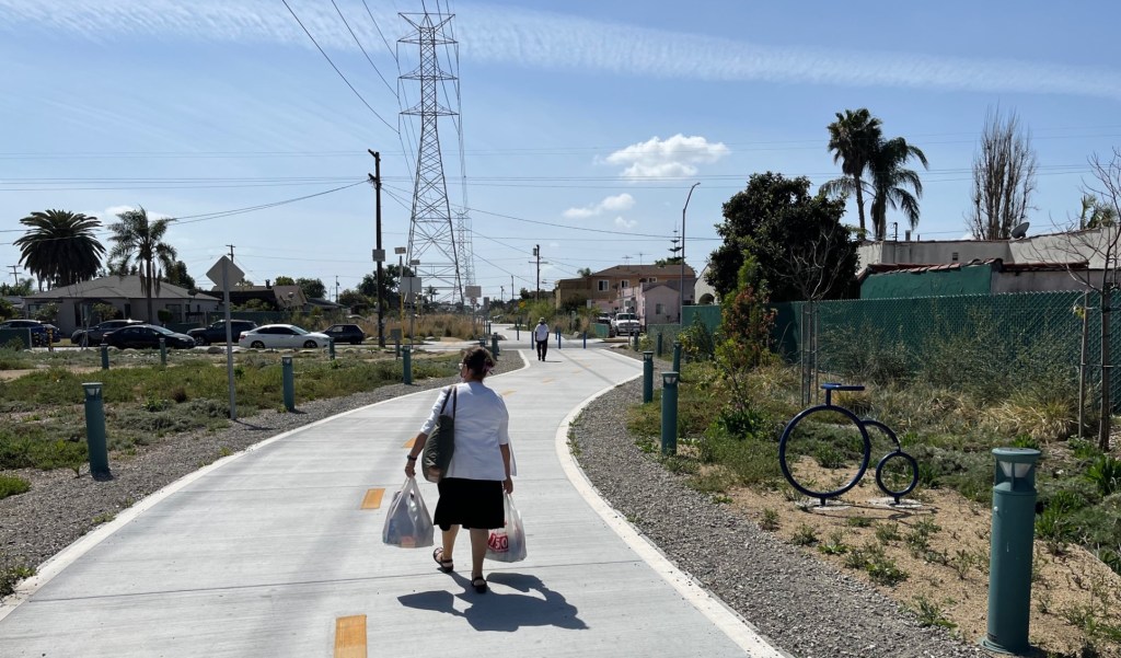
The city of Huntington Park's Veterans Park. Photos by Joe Linton/Streetsblog L.A.

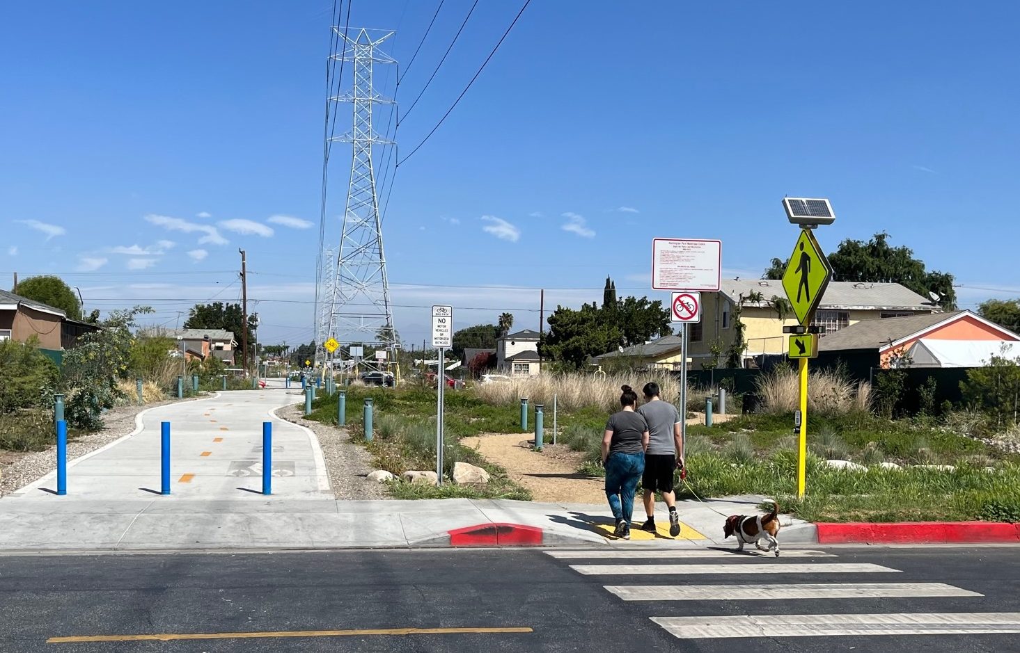
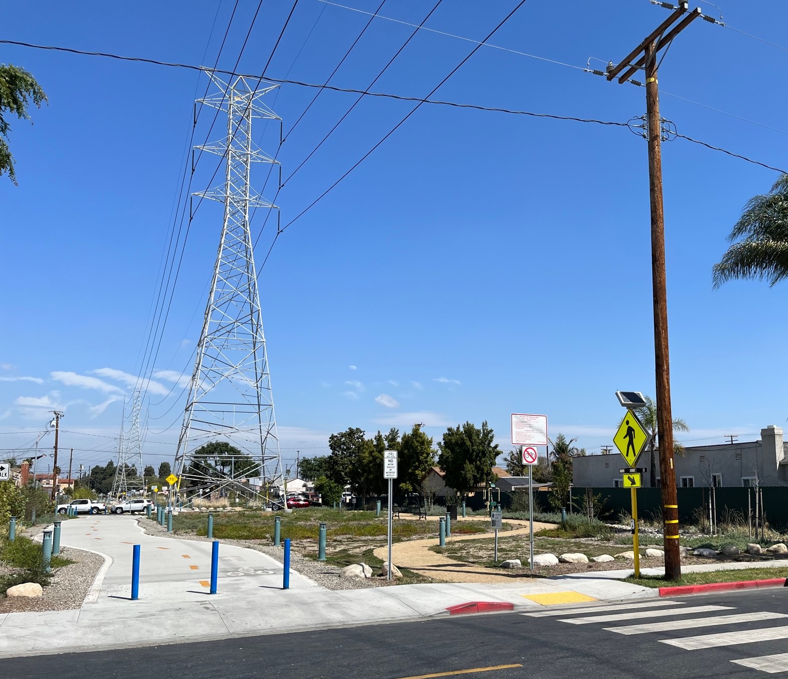
Last year, the southeast L.A. County city of Huntington Park opened Veterans Park, a new linear park featuring walk and bike paths. The half-mile long park is located below high-voltage powerlines and presents a very good example of how to convert underutilized utility corridors into multi-purpose community spaces.
Veterans Park
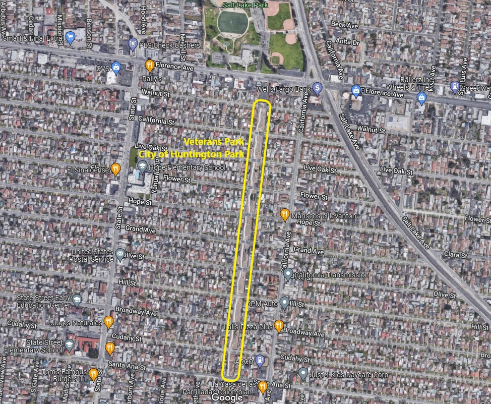
Veterans Park is located in a power line utility corridor extending from Walnut Street to Santa Ana Street in the city of Huntington Park. (Metro’s West Santa Ana Branch rail is planned to run on the right of way along Salt Lake Avenue on the right.) Aerial via Google

Veterans Park extends ten blocks from Walnut Street to Santa Ana Street. It is about 0.56 mile long – and about 50 feet wide. The northern end of the park is located just two blocks from Metro’s planned West Santa Ana Branch rail line.

Apologies that Streetsblog doesn’t have a more thorough history of this project. It opened last August; catch the grand opening ceremonies posted on the city’s Facebook page.

Veterans Park ribbon-cutting - via Facebook video
Veterans Park ribbon-cutting – via Facebook video

Streetsblog visited the site last weekend.
xxxx
Huntington Park’s Veterans Park is a half-mile long linear park, located in a L.A. Department of Water and Power utility right-of-way (L.A. City DWP)
Though the park includes a bike path, Streetsblog did not observe any cyclists using the bikeway during a short visit last weekend. Plenty of pedestrians were using the park.
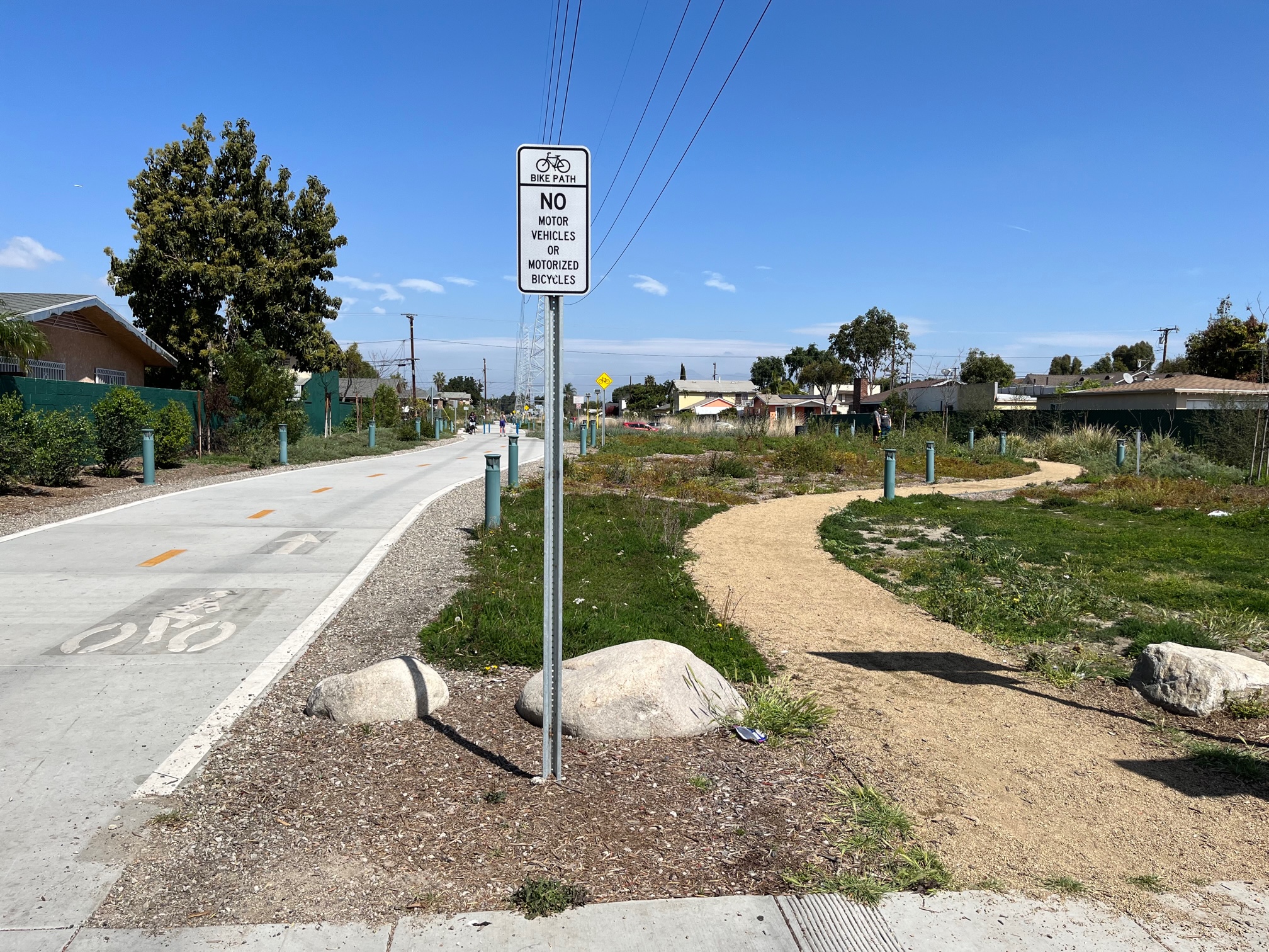
The park features two parallel paths: a concrete-paved bike path (left) and a decomposed-granite walk path (right)
xxx
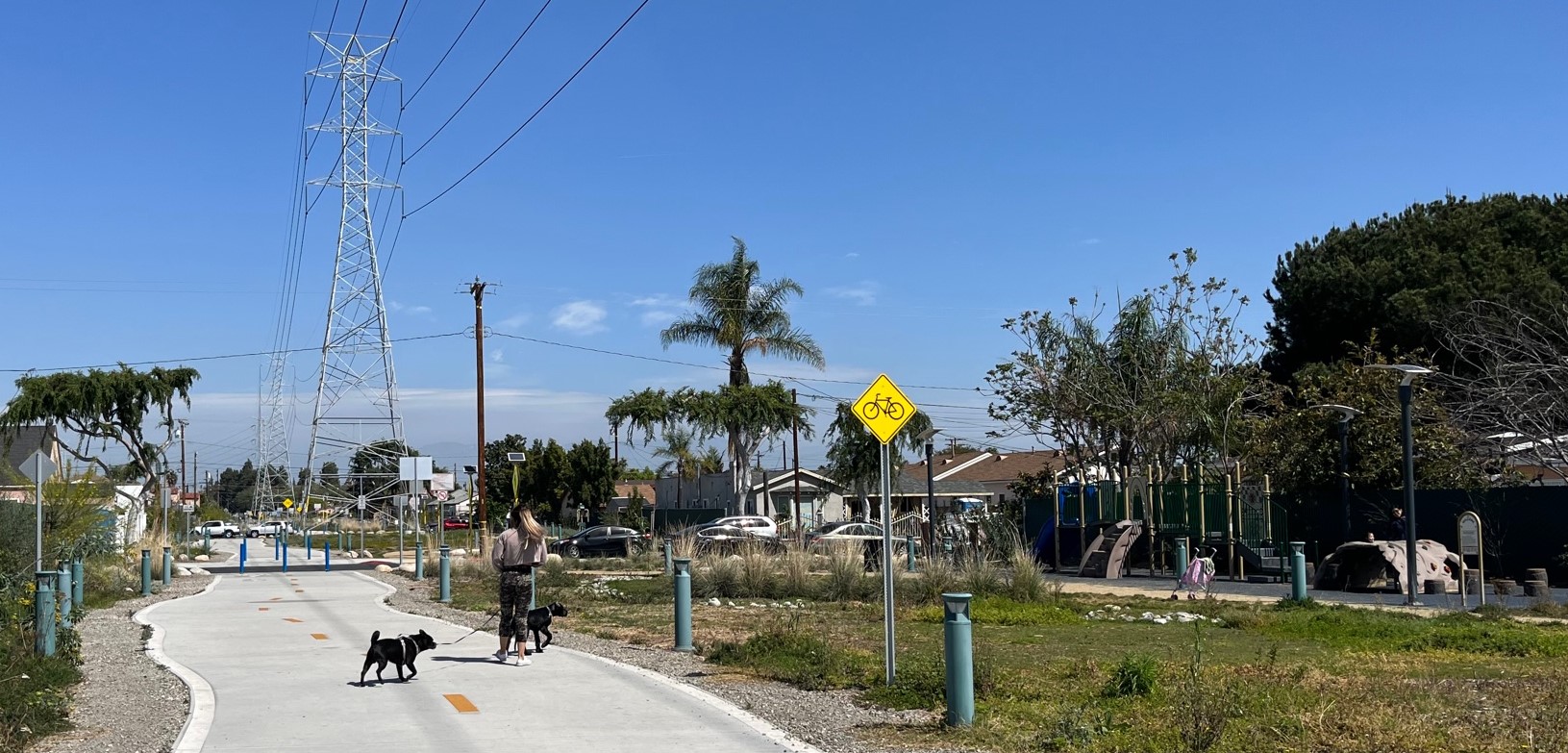
There are various park features interspersed through Veterans Park – kids play structures (at right in photo above), as well as veteran memorials, fitness stations, seating areas, and more
xxx
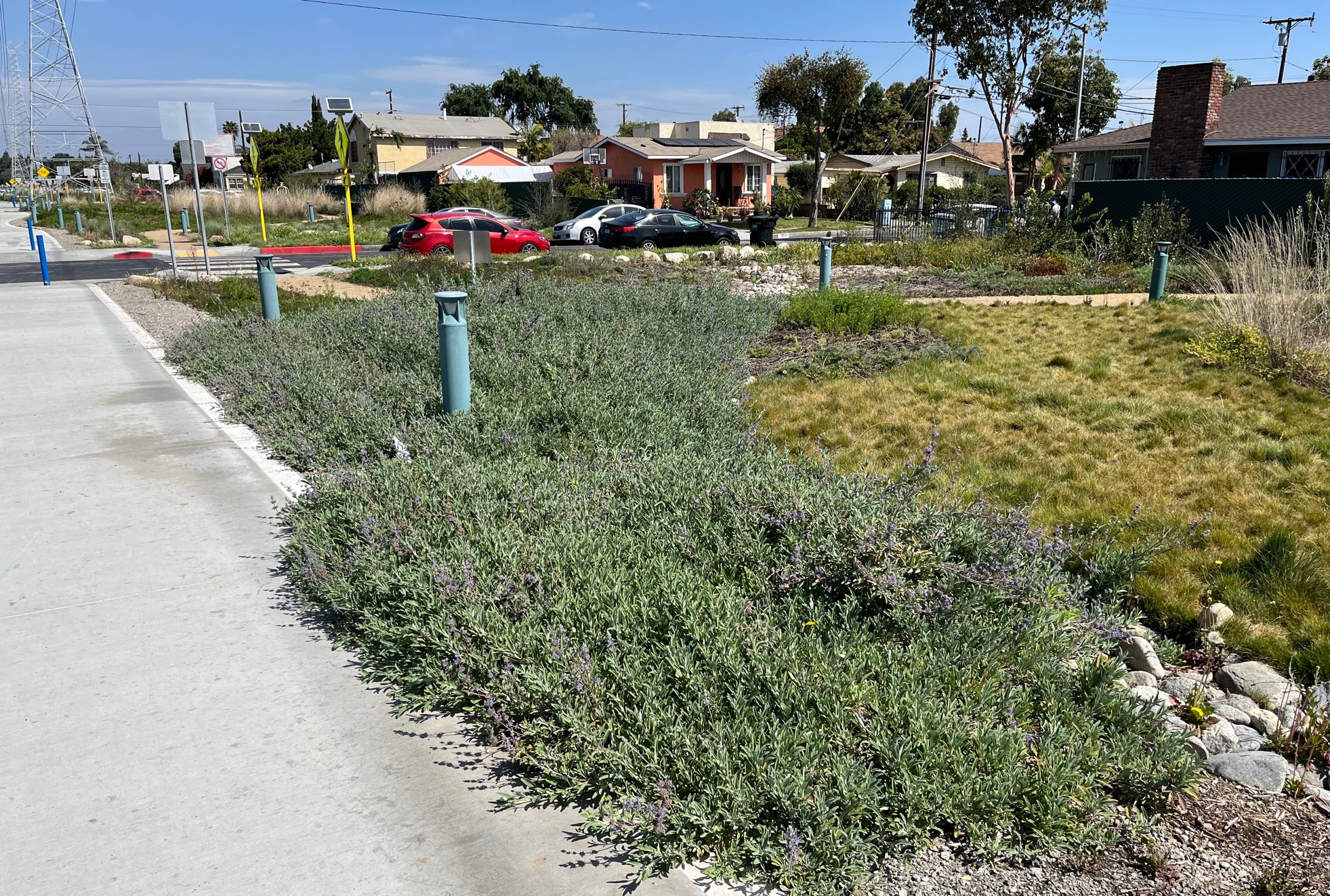
Veterans Park features extensive native landscaping, including plantings in bioswales to soak rainwater into the earth. The landscaping allowed under power lines does not include taller trees, which might grow to interfere with the wires high overhead.
xxx
The park right-of-way is intersected by many 2-lane residential streets. Cyclists and pedestrians cross these fairly-low-traffic streets at grade. Many of the crosswalks include high-visibility flashing light signs.
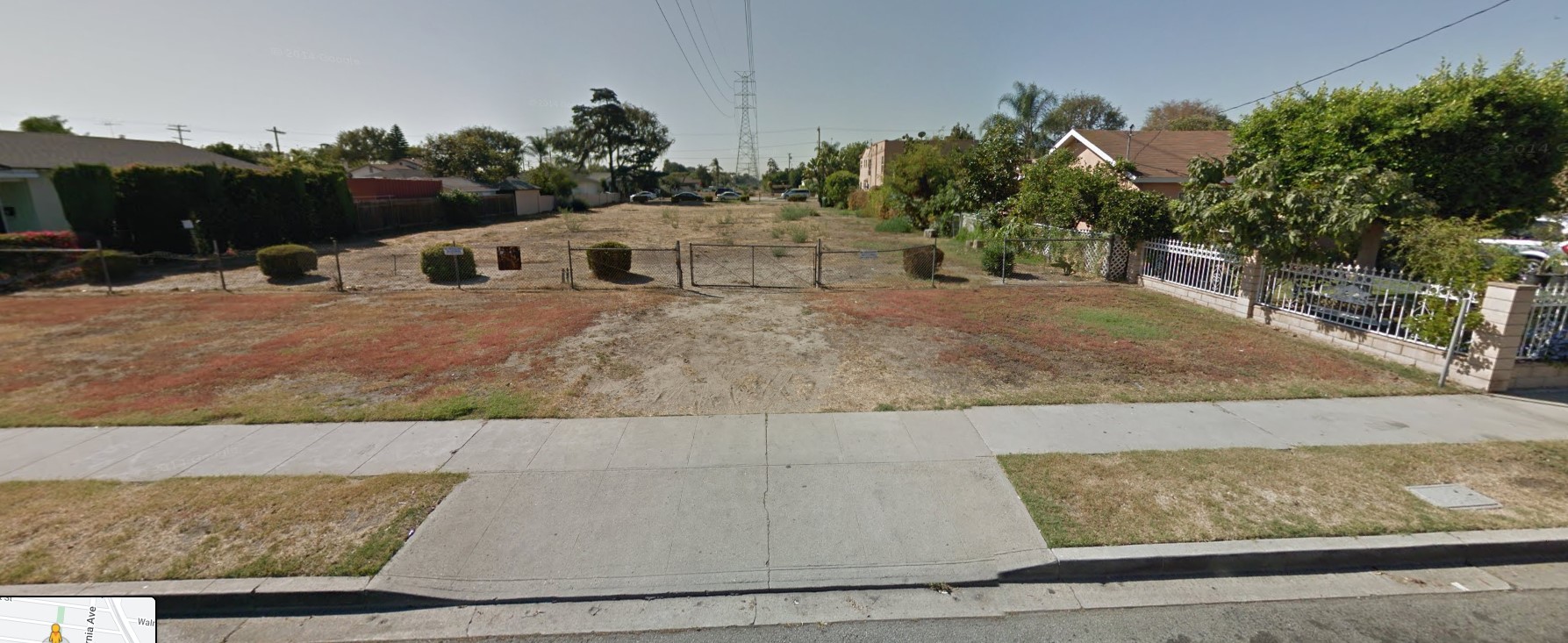
For comparison, this is the unimproved utility right-of-way in 2014 - via Google Street View
For comparison, this is the unimproved fenced-off utility right-of-way in 2014 – via Google Street View
Veterans Park
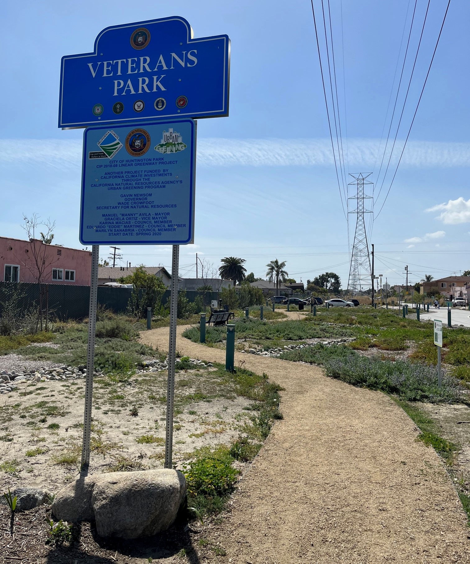
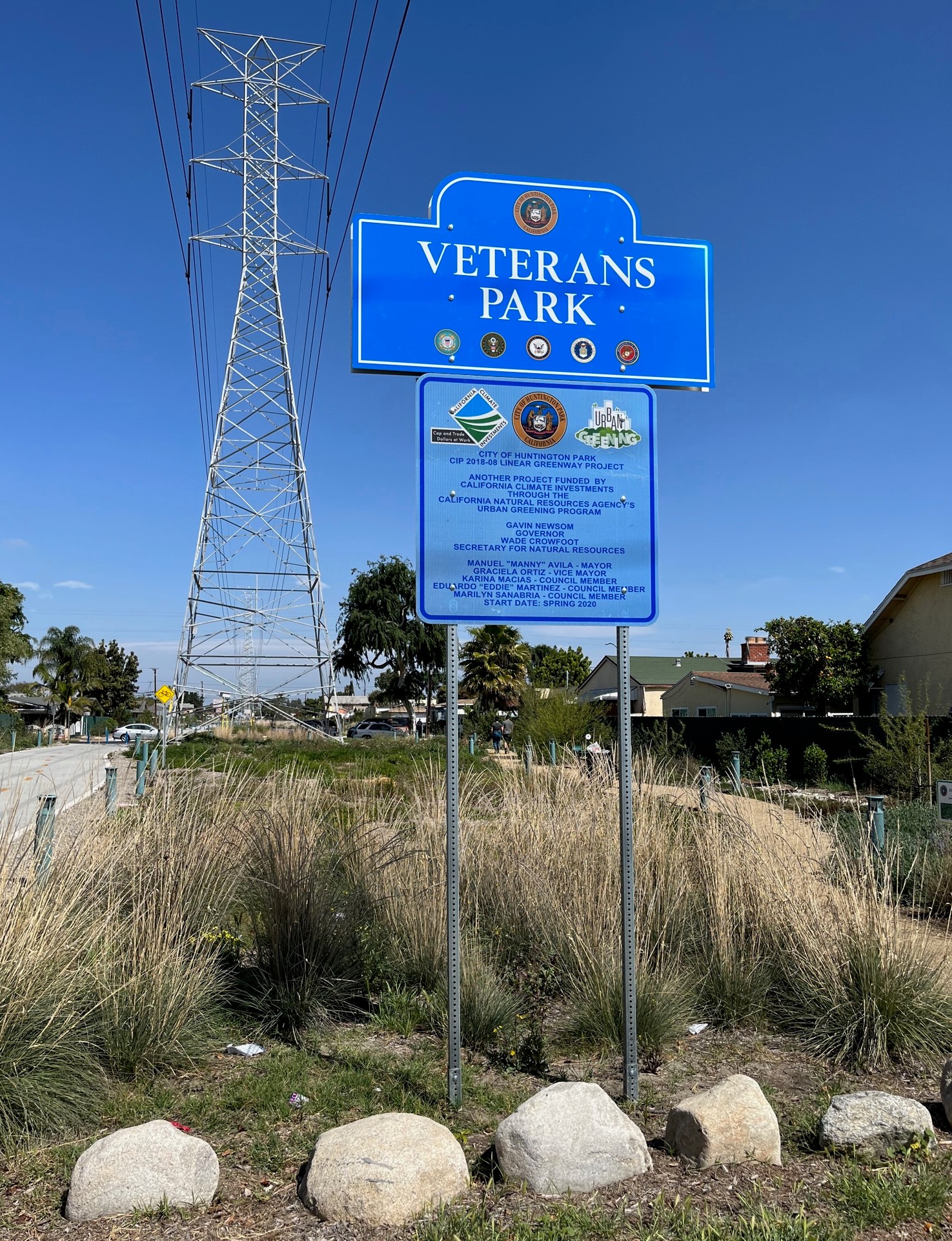
Veterans Park signs are on both ends of the park.

Streetsblog has migrated to a new comment system. New commenters can register directly in the comments section of any article. Returning commenters: your previous comments and display name have been preserved, but you'll need to reclaim your account by clicking "Forgot your password?" on the sign-in form, entering your email, and following the verification link to set a new password — this is required because passwords could not be carried over during the migration. For questions, contact tips@streetsblog.org.
More from Streetsblog Los Angeles

City Atty Loses Bid to Criminalize Man Punched During Traffic Stop; Diversion Agreement Paves Way for Civil Proceedings Against City, LAPD to Resume

August 7, 2026

Friday’s Headlines

August 7, 2026

Thursday’s Headlines

August 6, 2026

Metro Clearing Mature Trees to Widen 91 Freeway through North Long Beach

August 5, 2026

Wednesday’s Headlines

August 5, 2026
See all posts