
Lessons from NYC: Greenway Success Through Interdepartmental Collaboration
(In advance of my mid-February return to Los Angeles, I'll be writing up a few L.A.-applicable lessons that I've learned back east. - Joe)
After living car-free in Los Angeles for 16 years, I fell in love and decided to move to New York City for a while. Well, not quite in New York City proper, I've been residing in Jersey City, NJ, directly across the Hudson River from lower Manhattan. Jersey City is one subway stop from Manhattan. It's sometimes called the "sixth borough" after NYC's five official boroughs.
Jersey City is NJ's second most populous city. It's population of 250,000 (2000 census) similar to the population of the city of Glendale, CA - but in roughly half the space. Jersey City is about 15 square miles, similar to the size of the city of Pasadena. Downtown Jersey City is fairly population-dense and very walkable.
New York City, already arguably the United States most walkable and transit-friendly city, has undergone a street renaissance in the past few years, becoming even safer and better for walking and bicycling. I am not the person to tell the whole story; it has been well-covered at Streetsblog NYC. If you're completely unfamiliar with the recent NYC developments, perhaps start by watching this Streetfilm.
Lesson 1 - NYC Greenways
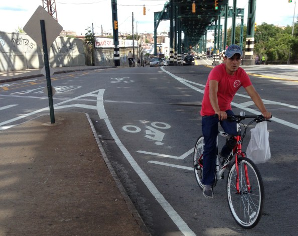
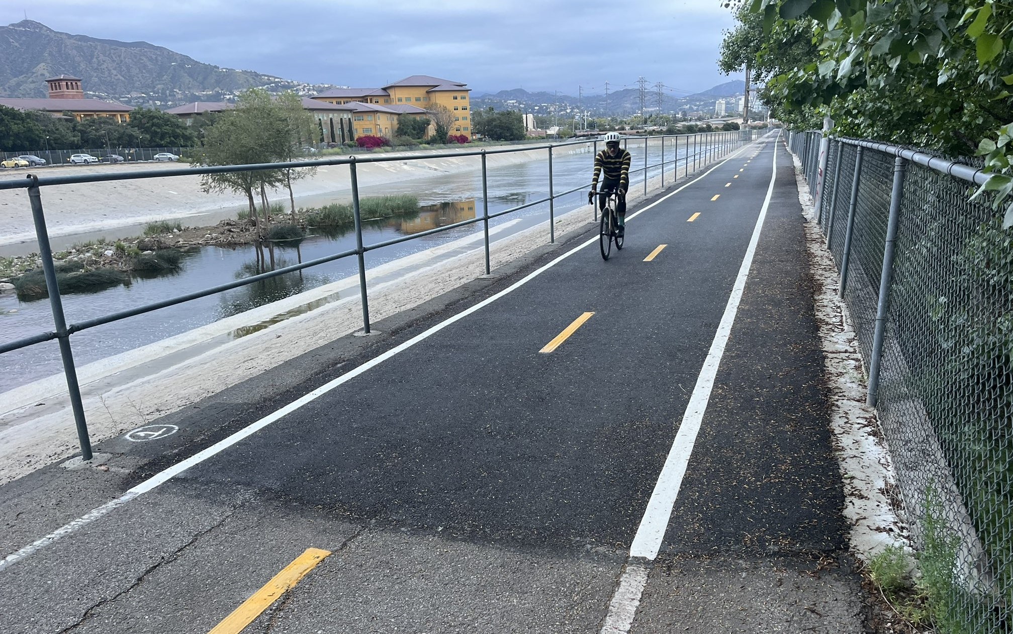
The term greenway isn't used all that often in Los Angeles. It's basically a bike and walk path, for the most part, separate from car traffic. Greenway facilities in L.A. include the beach bike path, the river and creek bike paths.
For most of 2013, I worked as Greenway Director for the Bronx River Alliance. The Alliance is a non-profit organization embedded in NYC's Park and Recreation Department. It's a bit of a hybrid of L.A.'s River Revitalization Corporation melded with Friends of the Los Angeles River.
The Bronx River, NYC's only remaining freshwater river, runs 7 miles through the Bronx, with an additional 15 miles through neighboring Westchester County. There are plenty of similarities between the Bronx River and the L.A. River. Both run through population dense immigrant-rich communities of color. Both are cut off from these communities via obstacles including freeways and railroad tracks. Both are making a comeback in recent years.
In 1993, NYC adopted its Greenway plan, designating 350 miles of off-road facilities for bicycling and walking. Most of the mileage is waterfronts. The Greenway plan was strengthened by a later Comprehensive Waterfront Plan.
Typically Transportation departments (DOTs) rightly focus on streets. This is the primary place where people get around, including the majority of cyclists and pedestrians. Parks and Recreation departments (Parks) tend to just focus on what happens in their parks. Greenways end up being a hybrid creature. A lot of greenway users are pedestrians and cyclists enjoying recreation, but there is significant transportation usage of these facilities, too.
What happens in NYC that I haven't seen in L.A is significan inter-departmental collaboration. While greenways are neither of these departments' core mission, both NYC DOT and NYC Parks have staff that work on the city's greenways. Both departments seek funding for, design, build and maintain greenway trails.
The recreation and transportation utility of these facilities diminishes when there are obstacles that result in gaps in trail. These obstacles can include rail, freeways, contaminated sites, and lack of available right-of-way in long-built-out areas. These sorts of obstacles tend to be more common in older, industrial and formerly-industrial areas, which all tend to be (or be very near to) population-dense communities of color - where plenty of people depend on walking and bicycling for everyday transportation.
These obstacle/gap areas include a lot of older waterfronts. Back east there are the Bronx River in the South Bronx, Brooklyn's waterfront, and many others. In Southern California, it includes the L.A. River through Downtown L.A. and Vernon, parts of Compton Creek, parts of Wilmington and San Pedro, and others.
One welcome practice that I've observed back east is that NYC DOT fills in greenway path gaps between parks using on-street bike facilities. One example that I was involved in was a quarter-mile gap closure bordering Westchester Avenue in the South Bronx. When contamination and right-of-way issues prevented NYC Parks from moving forward with a bike/walk path immediately alongside the Bronx River, the NYC DOT added crosswalks, bike lanes, sharrows, and a bike/ped crossing signal. These on-street facilities close a gap between existing river paths in two nearby parks, Concrete Plant Park and Starlight Park.
I haven't seen enough of this interdepartmental greenways collaboration in Los Angeles. Frequently neither LADOT nor L.A.'s Department of Recreation and Parks (LADRP) will take full ownership of L.A. Greenway facilities. LADOT doesn't include LADRP bike paths on its website and its bike maps. For example, the full extent of Sepulveda Basin bike paths never appear in DOT materials. LADRP doesn't see bikes in its core mission, so bike paths through L.A. parks are often poorly maintained. For example, see this coverage of the Westwood Park bike path.
I should note that NYC's DOT and Parks don't agree 100%, and that LADOT and LADRP do sometimes collaborate (including on CicLAvia and on contracted river bike path maintenance), but my sense is that, to date, these tend to be the exceptions.
As L.A. moves forward with the 139 miles of greenway approved in its 2010 Bicycle Plan, collaboration between departments will be important for greenway success. Many planned L.A. greenway facilities, from the L.A. River to South L.A.'s "Rail to River" Slauson corridor, will require even more complex interjurisdictional collaboration - between multiple cities and county.
To end on a hopeful note, it's encouraging that LADOT's new general manager Jon Kirk Mukri recently headed L.A. Department of Recreation and Parks. If anyone can get LADOT and LADRP to collaborate, it should be Jon Mukri.
A few more east coast lessons coming soon - and Joe Linton L.A. coverage coming in February.
Stay in touch
Sign up for our free newsletter
More from Streetsblog Los Angeles
Metro Board Funds Free Student Transit Pass Program through July 2025
Metro student free passes funded another year - plus other updates from today's Metro board meeting

Eyes on the Street: New Lincoln Park Avenue Bike Lanes
The recently installed 1.25-mile long bikeway spans Lincoln Park Avenue, Flora Avenue, and Sierra Street - it's arguably the first new bike facility of the Measure HLA era

