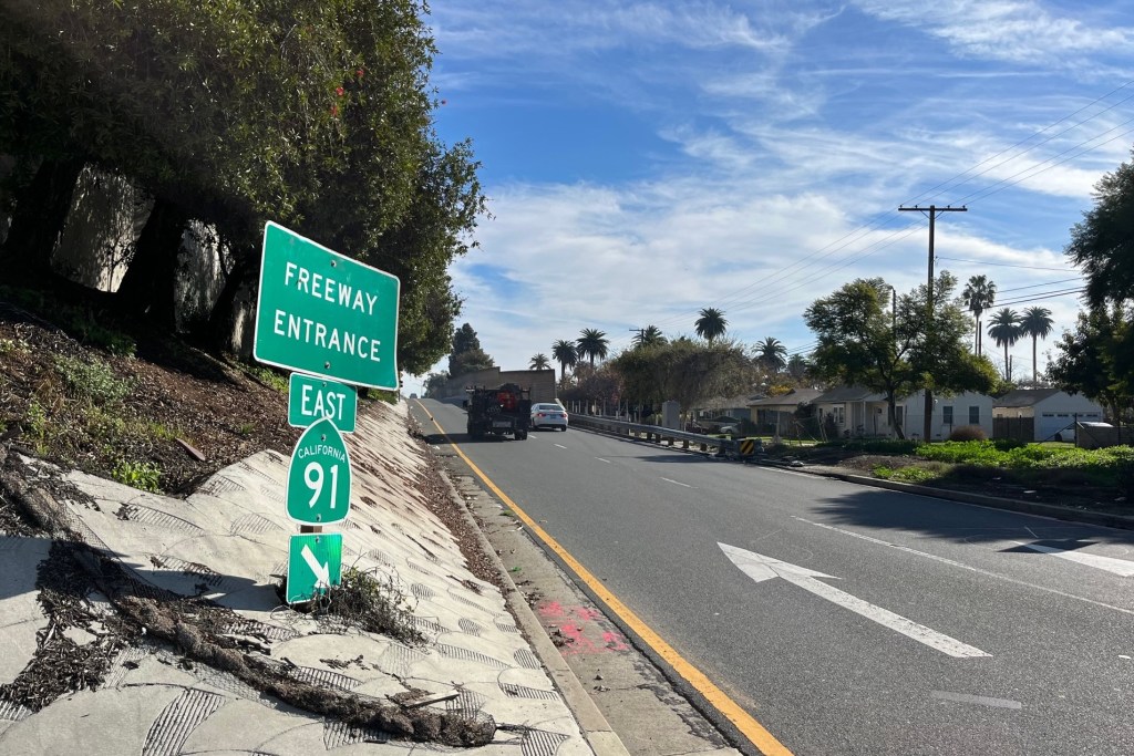
Cycling Coming to Google Maps in Los Angeles…Today?
 My current Google Map of the Bike Route from my current home to my new home.
 The bike blogs and even some traditional news outlets are buzzing with the news that Google Maps will be launching a “bike directions” application later today at the National Bike Summit in Washington in 150 cities, including Los Angeles. The New York Times reports:
Much like the driving and walking directions on Google Maps, the
service selects a route and calculates estimated cycling times after a
user provides start and end points. The routing algorithm attempts to
select optimal directions that avoid freeways and busy roads and
intersections, and take into account bike paths, bike lanes and
bike-friendly streets. They will seek to route around hills, whenever
practical. Google Maps will also offer a “view” geared for cyclists
that will display bike-friendly routes. A mobile version is likely to
follow soon, said Shannon Guymon, a product manager for Google Maps
Directions.
Google also has a video up on You Tube, explaining how the application works. It’s a nice, friendly video and might be worth checking out even if you are tech savvy enough to figure out to use this google maps application without a primer.
I’m going to be spending most of today working on the new house, and I’m not sure when my Internet is getting hooked up. As soon as I have a chance to try the biking directions, I’ll post a review. In the meantime, please re-map your own routes and let me know how Google Maps does providing a safe and convenient route for Los Angeles’ cyclists.

Streetsblog has migrated to a new comment system. New commenters can register directly in the comments section of any article. Returning commenters: your previous comments and display name have been preserved, but you'll need to reclaim your account by clicking "Forgot your password?" on the sign-in form, entering your email, and following the verification link to set a new password — this is required because passwords could not be carried over during the migration. For questions, contact tips@streetsblog.org.