Cycling in the Desert: The Challenges and Joys of Biking in the Antelope Valley
(In the third installment of our series on bicycling around L.A. County as part of our Bike to Work week coverage, long time reader Michelle Chavez writes about bicycling in the Antelope Valley. Chavez's work is really top notch and includes an interview with (which you can read in its entirety here) and a bike commute in one minute in the A.V. Pay special attention to the road conditions. - DN)
The Antelope Valley covers an immense area 60+ miles north of the City of Los Angeles. Within the valley are 2 large cities with populations above 150,000, Palmdale and Lancaster, and several smaller desert communities. Politically, the valley is part of 3 different counties -- Los Angeles, Kern, and San Bernardino -- with most of the population living in Los Angeles County.
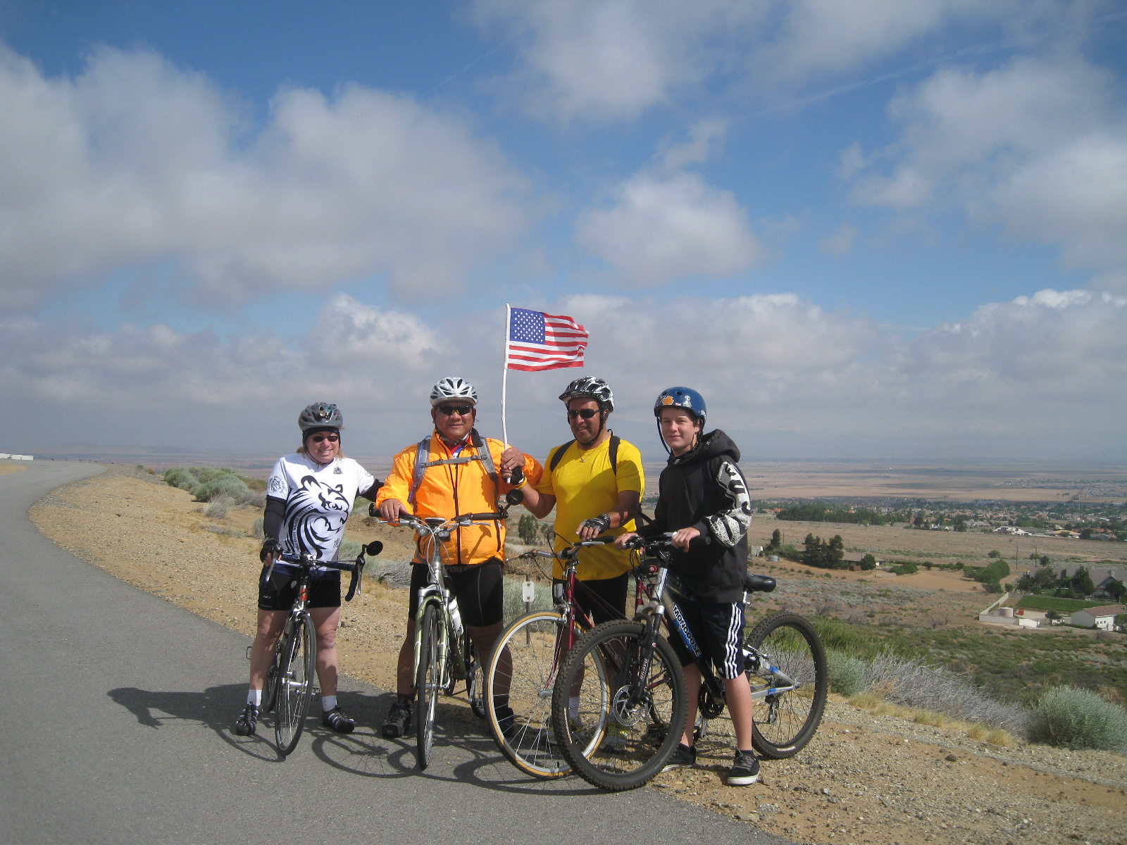
Cycling is very popular here as a recreational sport. You can ride only a short distance and find yourself out in the country. On a Saturday or Sunday morning with various cycling clubs or groups, you can go out on a peaceful ride through the countryside with fairly empty roads and gorgeous desert views for miles and miles. You might experience high winds, but hey, that’s character building.
The flip side of that is that in the city cycling for transportation is more difficult, though not impossible. The people who laid out the roads here did so on a grid pattern with arterials on a mile and half-mile grid. Most of those arterials have very high speed limits of 50, 55, and even up to 65 mph. This makes biking challenging, even on the streets that have bike lanes.
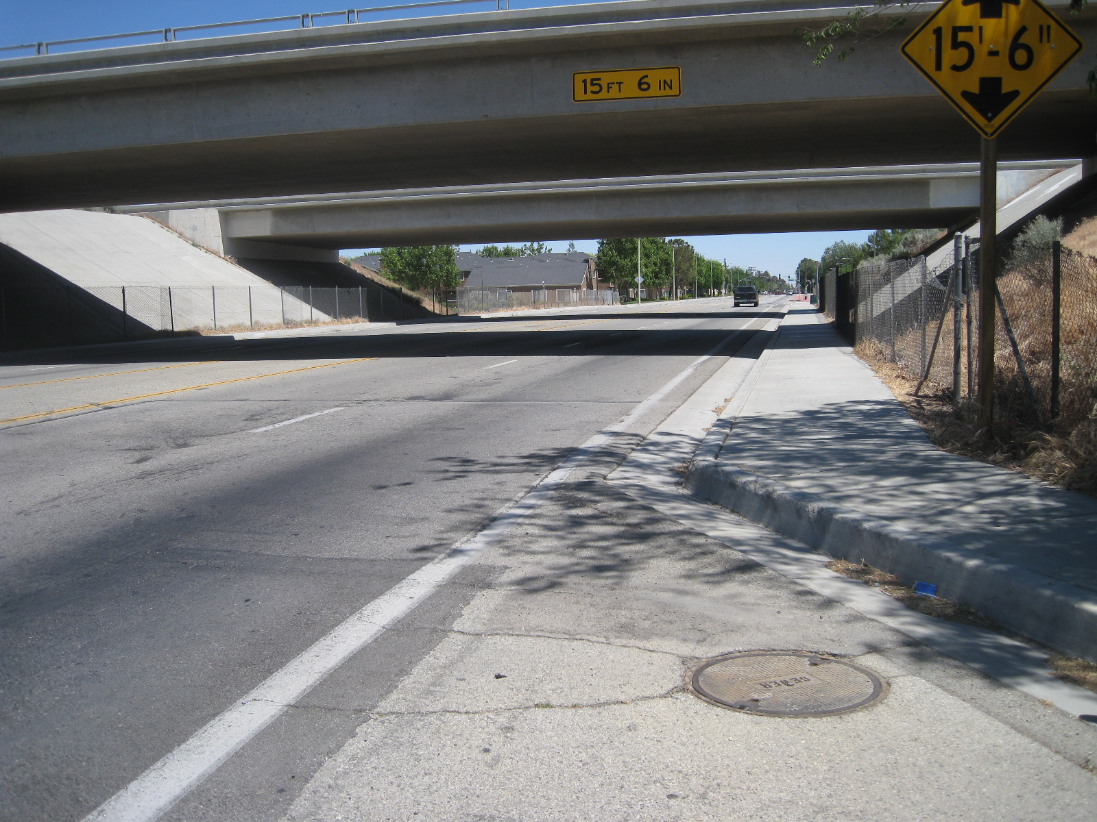
Not only are there few streets with lower speed limits, but there are also few direct routes for people biking to get across Lancaster or Palmdale going east-to-west. This is primarily because of the railroad tracks that bisect both cities and Sierra Highway that runs along the railroad tracks. Only a few major streets intersect with the highway; the rest don’t go through. The streets that do go through are all high speed with narrow outside lanes and/or no shoulders.
Going north-south, there are also only a few good routes. Even the best one, 30th St West, has a 1-mile, 2-lane, 55-mph stretch that can be safely ridden on a shoulder going north. Going south, there is no shoulder, forcing riders who don’t feel comfortable to go 2 miles west to 50th St West or several miles east to the Sierra Hwy bike path.
Some local cyclists’ comments about our riding conditions:
Fred Flores: “First off, I would like to say that The City of Lancaster ought to encourage more bicycle racks to park our bikes in and around the businesses in town (movie theaters, eating establishments, and retail outlets). As well as establish bicycle only lanes like those found in Portland, OR, or in Holland, so that we can bike free of worrying about auto traffic. Also, I would like the local Sheriff’s Department to do more in the way of enforcing traffic laws for autos and for bicyclists. Too many drivers have a habit of plowing into traffic from driveways, side streets and of California stops. As for bicyclists, too many ride on sidewalks and against traffic, and at night, there are too many bicyclists who ride at night without any lights. It is way too difficult to see these guys in the dark.”
Richard Maine: “There are times and places where it is safer to ride on the sidewalk than in the street -- sometimes a lot safer. There are also places where it is legal; in Lancaster and Palmdale it isn't.”
AV bike commuter Douglas Wade shared a video he made of his daily commute.
Fortunately, last year, after transforming the downtown area, the City of Lancaster started working on a new bike and pedestrian plan with the help of Ryan Snyder Associates. There have been several community meetings and walk-audits. There will be another community meeting coming up in June and the final plan should be forthcoming soon. I participated in each of the previous meetings and walk-audit and found those involved to be very committed to improving the lot of local cyclists and pedestrians as well as improving infrastructure for those with disabilities.
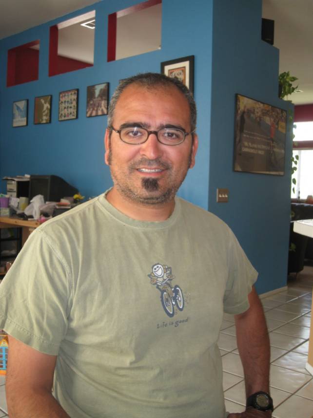
Brian Ludicke, Director of Planning for the City of Lancaster, was kind enough to grant me an interview to discuss the planning process and the vision he has for cycling and walking in the city. You can read the full interview, here.
Los Angeles County recently completed their new County Master Bicycle Plan, after holding several meetings at a fire station in Lancaster over the last 6 months. The plan looks promising with many of the changes requested by the cycling community.
The Antelope Valley High Desert Cyclists have been in discussions for years with both cities and the county for many years, but we’ve been frustrated with the pace of change. To further our goals, the club voted at Monday night’s meeting to become a chapter of the Los Angeles County Bicycle Coalition.
Stay in touch
Sign up for our free newsletter
More from Streetsblog Los Angeles
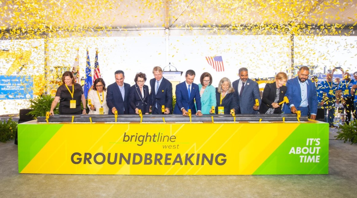
Brightline West Breaks Ground on Vegas to SoCal High-Speed Rail
Brightline West will be a 218-mile 186-mile-per-hour rail line from Vegas to Rancho Cucamonga - about 40 miles east of downtown L.A. - expected to open in 2028

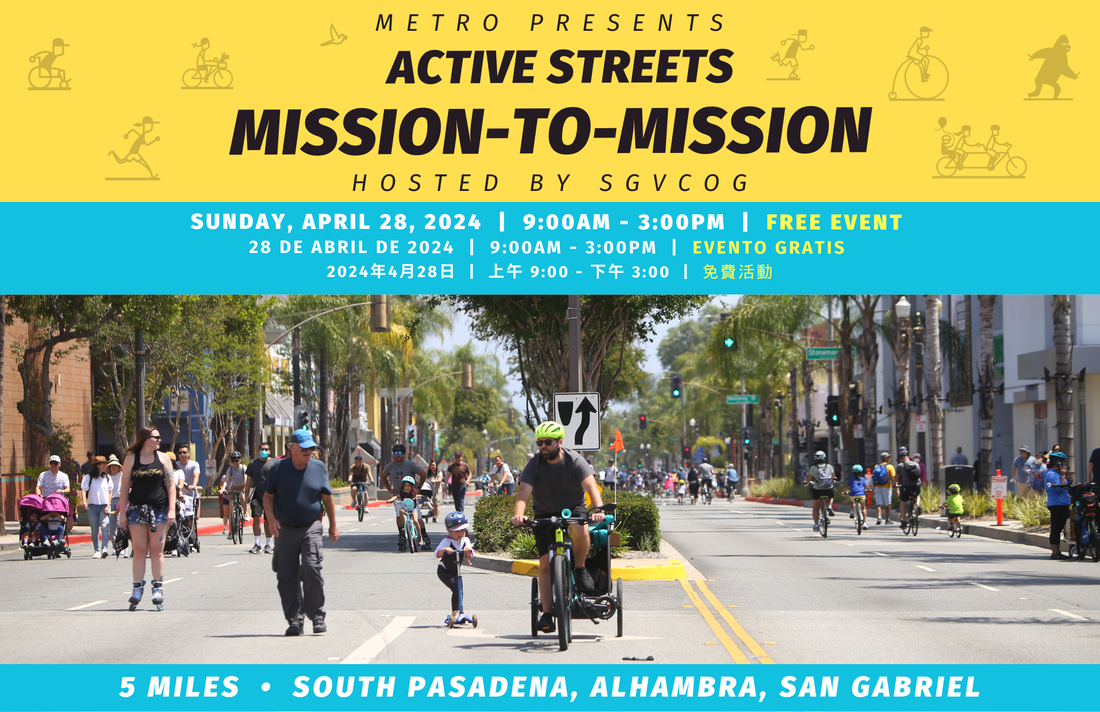
This Week In Livable Streets
Active Streets Mission-to-Mission, LAPD reports on its use of force in 2023, Pasadena Transit plans, Metro subway construction, and more
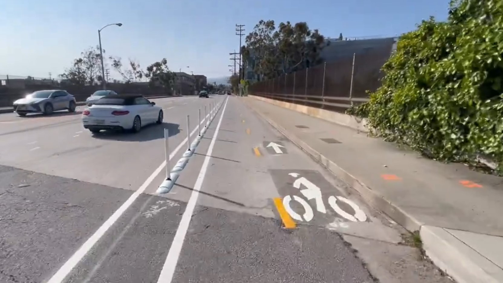
Eyes on the Street: Santa Monica Connection from E Line Bike Path to Downtown Is Almost Complete
“Always be closing gaps in your bikeway network.”
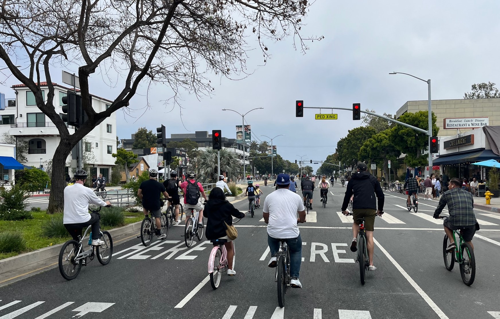
CicLAvia Opens Venice Boulevard – Open Thread
CicLAvia opened six miles of Venice Boulevard - from Culver City Station to Venice Beach