
Eyes on the Street: Big Dalton Greenway Update
The city of Baldwin Park broke ground on the Big Dalton Greenway two years ago; now phase 1 is complete and phase 2 is scheduled to begin before the year’s over.
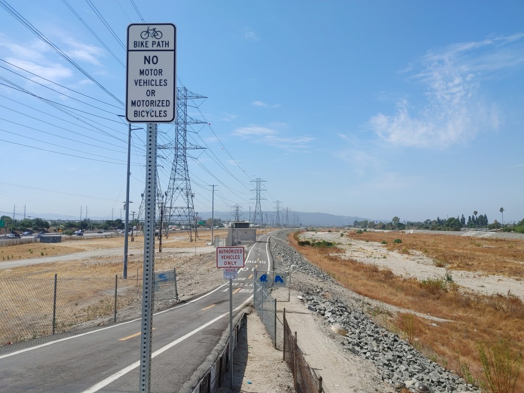
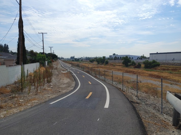
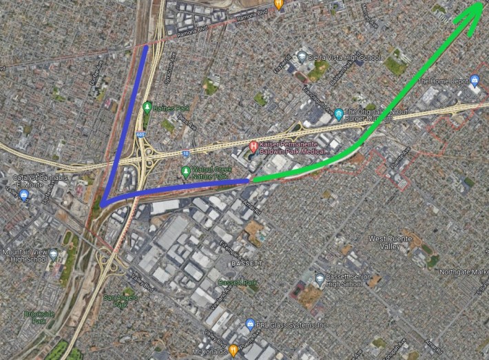
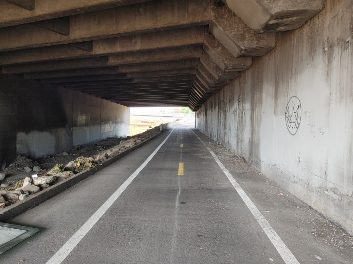
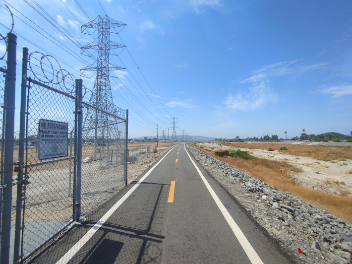
What’s finished now is a 2.5 mile path – completely separate from vehicular traffic – along the natural, earthen part of the wash in the city’s southern industrial corridor around the 10/605 Freeway interchange.
Improvements to come in phase 2 include landscaping, water fountains, benches, bike racks and fix-it stations, wayfinding signs, lighting, and connections to new pocket parks.
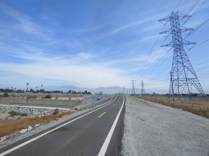
When phase 3 eventually breaks ground in late 2025, the trail will be extended 2.8 miles up the concretized portion of the wash (parallel to Vineland Avenue) to the city’s northern boundary at Arrow Highway, with more connections to pocket parks along the way. At that point, the greenway will connect commuter cyclists to the city’s major employment centers: Kaiser Permanente, UPS’s San Gabriel Valley hub, and In-N-Out’s training facility.
“I am extremely excited about our progress on the Baldwin Park Greenway project,” said Baldwin Park Mayor Emmanuel J. Estrada. “This project will be transformative for our community, connecting key destinations with sustainable transportation options and adding new amenities and green spaces.”
The entrances to the finished part of the path are at Syracuse Avenue and Farnell Street in the neighborhood south of Kaiser Permanente, Baldwin Park Boulevard next to Tony’s Hobbies, and at Ramona Boulevard on the east bank of the San Gabriel River. However, the trail is not officially open, so enter at your own risk.
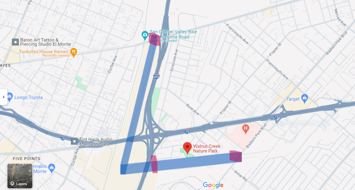
The Ramona entrance links the trail to the San Gabriel River Bike Path, another connection on the growing SGV Greenway Network. As it is now, the Big Dalton Path is a good reason to stop off at the nearby Walnut Creek Nature Park (via Hensel Street or Frazier Street; the park’s trail entrance isn’t finished yet).
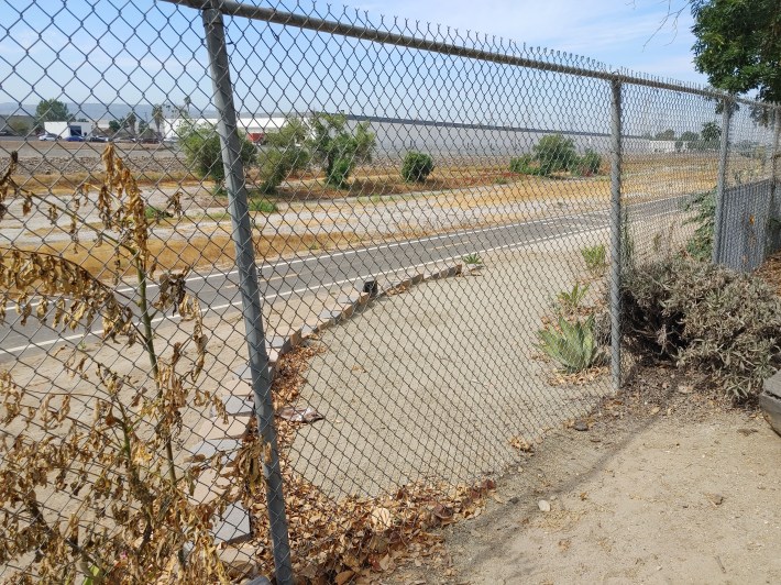
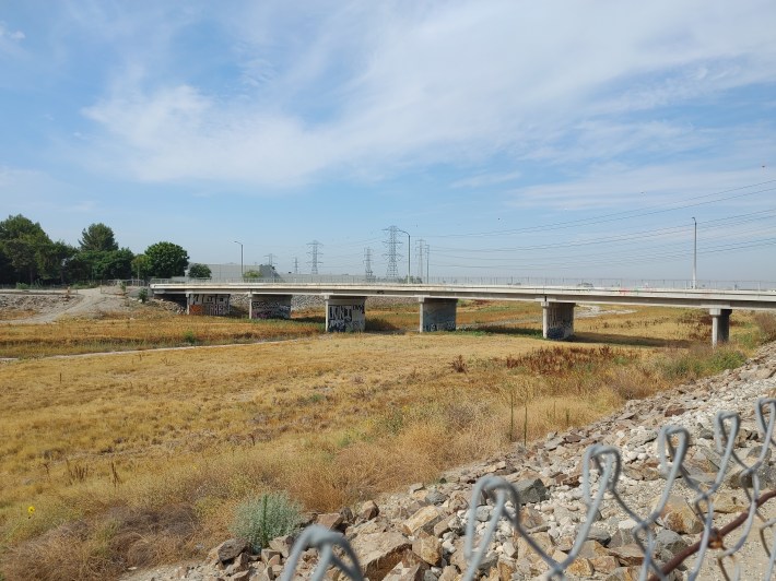
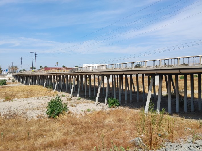
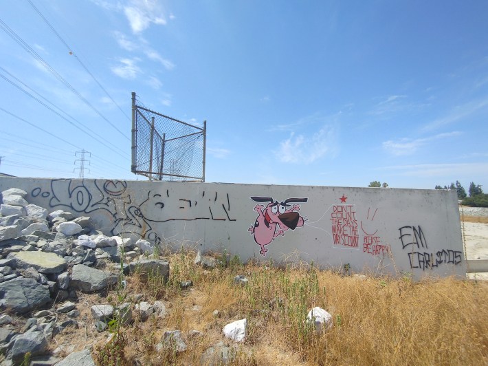
The sights along the river are classic Mid-Valley: bridges, underpasses, silos, the desolate riverbed, towering powerlines, bizarre discarded items, and of course, the San Gabriel Mountains under wide open skies. As always, use caution when exploring unfamiliar places and bring water.
Funding for the project comes from the California Statewide Park Development and Community Revitalization Program, L.A. County Proposition C, California Transportation Development Act, a Los Angeles County Metropolitan Transportation Authority 2009 grant, the California Natural Resources Agency, and the San Gabriel and Lower Los Angeles Rivers and Mountains Conservancy.
“While I’m thrilled about our progress to date, it’s important to recognize the extensive work that goes into a project of this scale. The city is committed to ensuring the project is done right and aims to create the best possible greenway for the community.” Mayor Estrada added, thanking staff, funders, and partners.
Streetsblog’s San Gabriel Valley coverage is supported by Foothill Transit, offering car-free travel throughout the San Gabriel Valley with connections to the Gold Line Stations across the Foothills and Commuter Express lines traveling into the heart of downtown L.A. To plan your trip, visit Foothill Transit. “Foothill Transit. Going Good Places.”Sign-up for our SGV Connect Newsletter, coming to your inbox on Fridays!

Read More:
Streetsblog has migrated to a new comment system. New commenters can register directly in the comments section of any article. Returning commenters: your previous comments and display name have been preserved, but you'll need to reclaim your account by clicking "Forgot your password?" on the sign-in form, entering your email, and following the verification link to set a new password — this is required because passwords could not be carried over during the migration. For questions, contact tips@streetsblog.org.


