Advocates Envision Converting San Vicente Boulevard to Linear Park
Earlier this week Streets for All publicized a new campaign for dramatic changes to San Vicente Boulevard. San Vicente Park would be a three-mile-long linear park with plazas and recreational space, plus bike and walk trails connecting to future (under construction and planned) Metro stations.
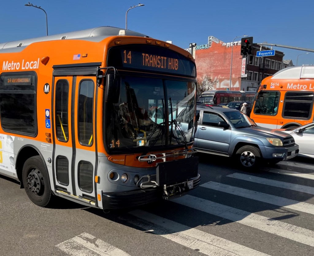
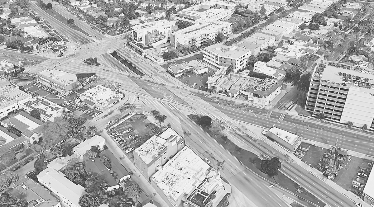
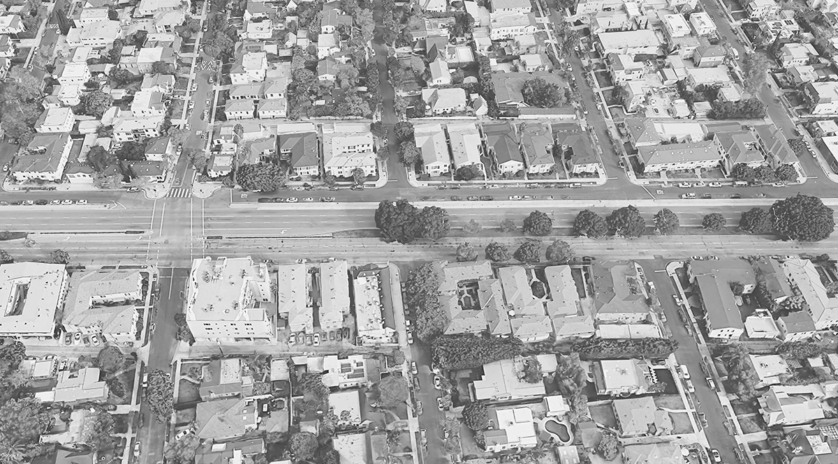
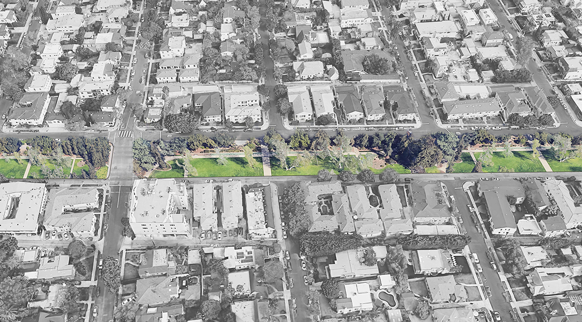
San Vicente is a former rail right-of-way that persists as an over-wide boulevard, with 6+ car lanes alongside a 50+ feet wide inaccessible sparsely landscaped median. Part of the street recently received a safety upgrade in the form of parking-protected bike lanes. San Vicente runs close to currently under-construction Metro D (Purple) Line stations, and Metro’s future K (Crenshaw) North Extension would run below San Vicente for much of its planned alignment.

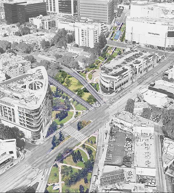
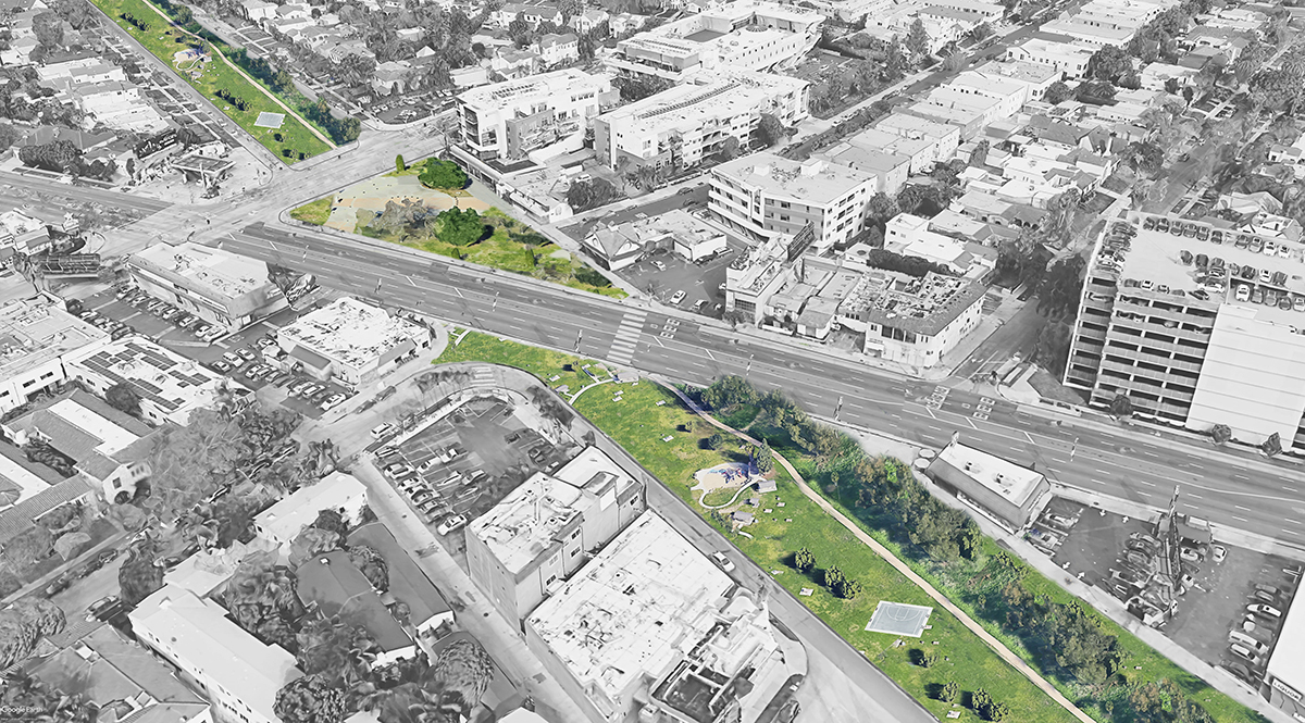
San Vicente Park is the brainchild of Michael Wacht, an architect at IntuArch who lives in the neighborhood and is active in the Pico Neighborhood Council. Wacht acknowledges that a radically reenvisioned San Vicente is far off. He calls the proposal a vision, and his role has been to “plant the seeds and see how it gains traction.” There is currently no timeline and no budget; just a big idea, renderings, and a website.
The renderings are pretty inspirational. San Vicente’s median green space would be expanded greatly by converting current car lanes. A single lane in each direction would remain, to allow access to existing homes and businesses.
San Vicente cuts diagonally through the surrounding grid, resulting in several problematic intersections, one of which is the Fairfax Asterisk. The new park and trails would green and simplify these currently unwelcoming, traffic-choked spaces.
Wacht notes that with the new Metro rail lines, these mid-city neighborhoods will continue to increase in density, and that the growing population needs increased park space. He sees San Vicente Park dovetailing with the Crenshaw North extension’s increased transit options, meaning less space would be needed for driving. Attractive first/last mile options will encourage rail ridership.
For more information and to get involved in making the park a reality, see San Vicente Park webpages at IntuArch and Streets for All’s campaign page.

Read More:
Streetsblog has migrated to a new comment system. New commenters can register directly in the comments section of any article. Returning commenters: your previous comments and display name have been preserved, but you'll need to reclaim your account by clicking "Forgot your password?" on the sign-in form, entering your email, and following the verification link to set a new password — this is required because passwords could not be carried over during the migration. For questions, contact tips@streetsblog.org.