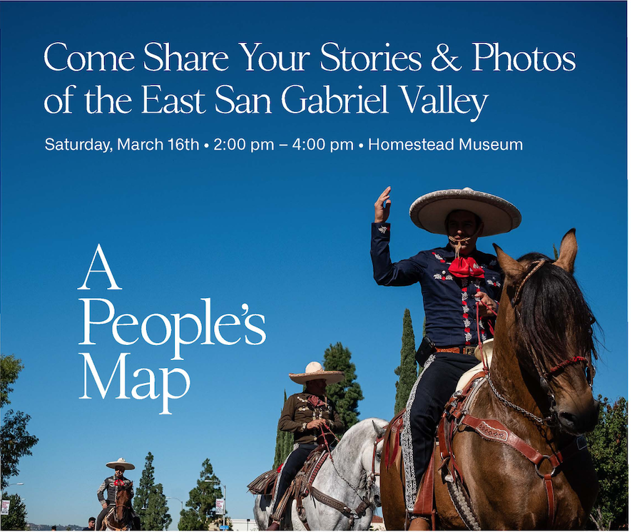
Have you ever seen a general plan process include collecting community stories? That’s what A People’s Map of East San Gabriel Valley is doing, and in this week’s SGV Connect we talked with the creative team behind this ongoing project.
A People’s Map project a part of LA County’s Department of Regional Planning effort to update the County General Plan. Because the region is so large they’re breaking up the process into parts by doing Area Plans to better focus on and identify an areas specific needs and character.
The first area plan is being done in East San Gabriel Valley, which is loosely defined as the areas east of the 605, North of Orange County, West of San Bernardino County and south of the Antelope Valley. It includes 21 unincorporated places like Rowland Heights, North Pomona and Walnut Islands.
Fonografia Collective, a documentary and journalism storytelling team of Ruxandra Guidi and Bear Guerra, have done similar place-based storytelling projects around LA (Going Grey in LA; South of Fletcher: Stories from the Bowtie).
While A People’s Map is more of a community engagement tool – the regional planning department is doing its own outreach and information gathering activities – the project is complimenting the work by giving the residents a space to be a part of defining what’s important in their community, said Guerra.
“By giving them the space to share that personal story. . . by giving people the place to talk about the things that they value, the things that really matter to them about the place that they call home or the place that they spend a lot of time, in a way that wouldn’t come out in a typical planning meeting,” Guerra said.
Fonografia collective will be collecting stories from 2 p.m. – 4 p.m. March 16th at the Homestead Museum (15415 E. Don Julian Road, City of Industry, 91745).
#SGV Connect is supported by Foothill Transit, offering car-free travel throughout the San Gabriel Valley with connections to the new Gold Line Stations across the Foothills and Commuter Express lines traveling into the heart of downtown L.A. To plan your trip, visit Foothill Transit. “Foothill Transit. Going Good Places.”