David Alpert at Greater Greater Washington reports that city traffic engineers and city planners have very different ideas on what to do with a closed freeway segment in southeast DC.
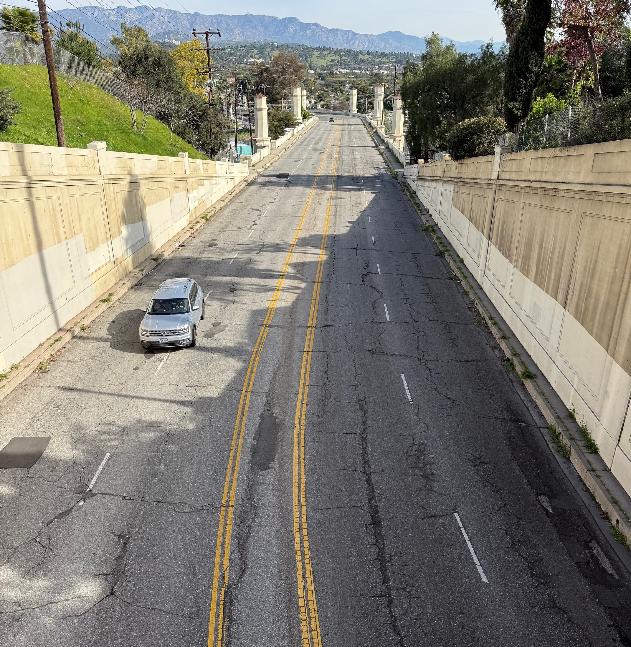
The District Department of Transportation came up with a range of proposals for the Southeast Freeway between the 11th Street Bridge and the Barney Circle neighborhood. But all of them, writes Alpert, "primarily focused around moving cars fast, and ... would be, at best, unpleasant to cross on foot."
Unhappy with the DDOT offerings, residents and a city council member enlisted the Office of Planning to give it a shot.
"OP's options still look at four-lane boulevards and even four-lane parkways, but much with much more appealing designs like a big park next to and partly on top of the road," says Alpert. Other renderings from the planning department show the street grid extending into the freeway, with townhouses, larger buildings, and a mix of the two.
But regardless of configuration, says Alpert, the city hasn't put forth a proposal to reduce the number of lanes designated for driving: "[E]ven OP's study assumed that there need to be four lanes of traffic, as that's what DDOT insists on." Alpert continues:
So why do there need to be four lanes of traffic? DC just effectively widened the 11th Street Bridge, adding car capacity there. Can't there be a reduction on an adjacent street? More than that, there haven't been any lanes for years now. It seems that a traffic pattern with zero lanes works fine.
DDOT needs to re-examine its reflexive assumption that four lanes is the only possibility. Regardless, this area now stands a good chance of becoming an excellent urban place now that people who think about spaces broadly and creatively got involved.
Also on the Network today: Chicago Bicycle Advocate says cities in Illinois may be liable for injuries to pedestrians and cyclists forced into traffic by snow piles. Strong Towns asks why the new Minnesota Vikings football stadium is getting an $8M pedestrian bridge "that'll be needed 10 days a year." And Seattle Transit Blog questions the senior bus fare.


