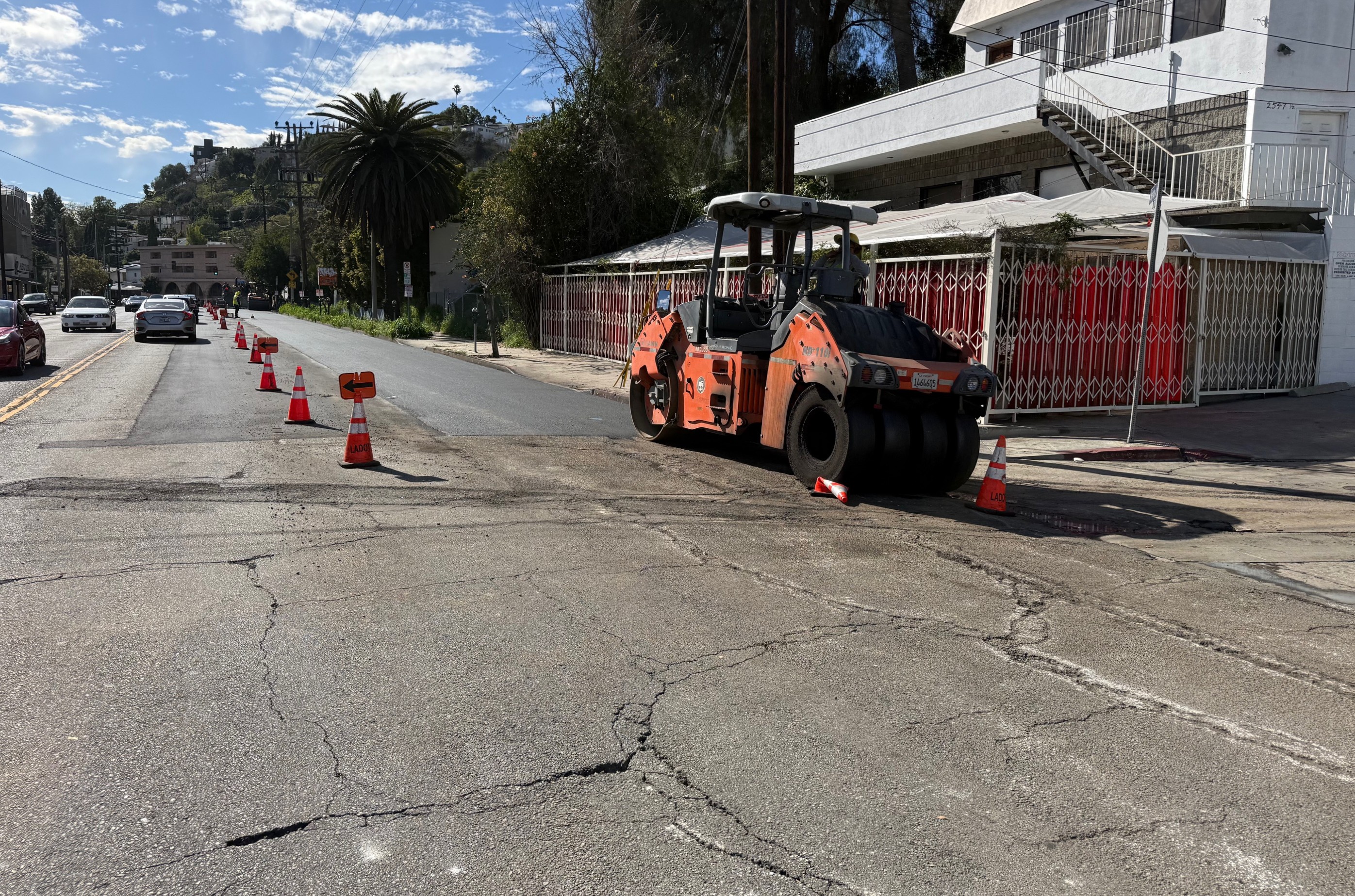
 All Photos by Joe Linton. View more at the end of the article, after the jump.
On the L.A. Department of Transportation's (LADOT's) June 2009 Bike Lanes Project Status report, made famous for Reseda Boulevard bike lane issues,
line 10 gives a status on new bike lanes planned for Myra Avenue from
Fountain Avenue to Santa Monica Boulevard. The project length is
specified as 2300 feet, just under half a mile.
Web research revealed that these lanes, located in City Council
President Eric Garcetti's district, don't appear in the city's approved
1996 Bicycle Master Plan facility lists or maps. They do already appear as existing bike lanes in the new draft maps for the city Bike Plan update underway. A quick look at online aerial photos didn't reveal any bike lanes yet, but these aerials are never entirely up to date.
Many bicyclists already know this stretch of Myra to be a useful
route. Cyclists use the street to avoid crossing Sunset Boulevard. Myra
goes beneath Sunset at a stately 1929 historic bridge. The street is
relatively flat, low-lying and curves gently... because it's actually a
creek: Arroyo de la Sacatela or Sacatela Creek. The creek now runs
underground in a concrete culvert... but that's yet another story.
A Thursday afternoon visit to Myra Avenue showed that the LADOT has
already quietly implemented the bike lanes. They're already
very much in use, too, even before Streetsblog broke the story. In a
visit that took less than 20 minutes, three different lone cyclists
were observed using the lanes. All three were females, and appeared to
be utilitarian transportation cyclists.
In the concrete roadbed there are telltale scrape marks that make it clear that this is a road diet.
That's a street treatment where four travel lanes (two in each
direction) are reduced to three lanes (one in each direction, with a
two-way turn lane in the middle.) The space from the eliminated lane
can be used to create wide outer lanes or bike lanes. This reduction in
the number of lanes can actually produce a more efficient street,
especially in places where cars make plenty of turns into driveways.
The 3-lane road tends to create a street that better serves local
activity, while the 4-lane street tends to better serve cars cutting
through. This sort of lane reduction has been done in a number of
locations in Los Angeles, sometimes without bike lanes (for example on
Boyle Avenue between 4th Street and Whittier Boulevard) and sometimes
with bike lanes (for example on Silver Lake Boulevard between Berkeley
Avenue and Sunset.) Either of these treatments makes the street better
for bicyclists.
Though it's already in use - and drivers and bicyclists are using
it as intended, each keeping to his or her own lane - it appears that
the project isn't quite finished. Though there are bike lane signs on
posts, there aren't yet any markings on the street that designate the
narrow outer lane as a bike lane. These are probably coming soon.
Imagining the future, as bicyclists, communities and the city
work together to build a truly bike-friendly city (one can dream, no?),
one wonders how the Myra lanes will fit into a cohesive bike
network. With Myra, there are now three bike lanes in this area; Sunset
and Griffith Park Boulevard are the others. All three of these are
within spitting distance of each other, but none of the three actually
intersect yet. They could perhaps someday connect via sort of bike
route on Effie Street and perhaps road diets on Fountain Avenue and
Santa Monica Boulevard.
New bike lanes are wonderful whether they get cyclists from one end
of the valley to the other, or just from one side of Sunset to the
other. The new Myra lanes should be ridden, enjoyed and celebrated!


