Wiki Wednesday: Vehicle-Miles Traveled

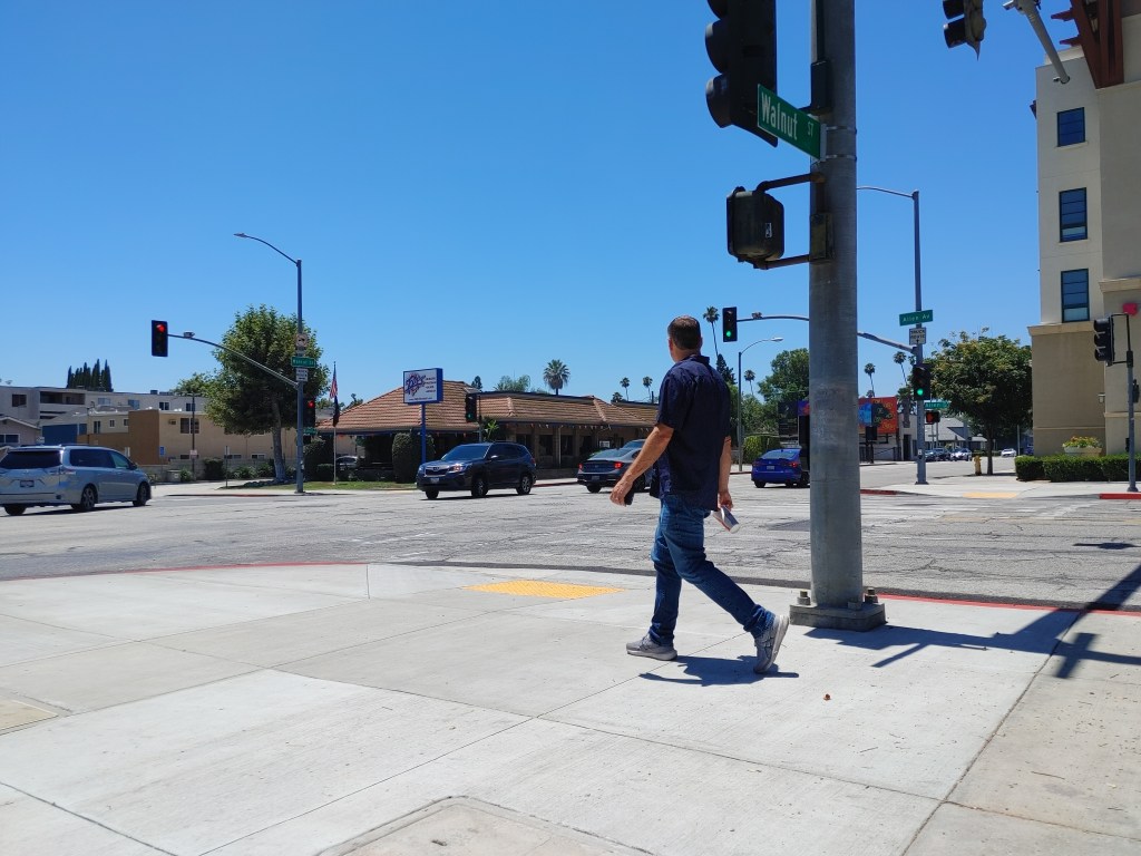
Until recently, VMT had been rising steeply in the U.S.
In the second installment of our serialized tour through StreetsWiki, we turn to DianaD’s entry on Vehicle-Miles Traveled:
Vehicle-Miles Traveled (VMT) is the total number of miles driven by all
residential vehicles within a given time period and geographic area.
We’re seeing more about VMT in the national media as rising gas prices cause people to drive less. Largely absent from the coverage — so far — is a discussion about intentionally reducing VMT through policy. Will that change soon? It should: A landscape that’s easier to navigate without a car is one where expensive gas won’t put such a crimp in household budgets. Diana’s wiki entry highlights one avenue to explore in particular:
Land use — namely sprawl development — is the main culprit. Americans
are living farther from work, school, shopping and basic services. Even
in higher density areas, where amenities may be closer to home, the
road framework can be punishing for pedestrians. It is nearly
impossible to walk in areas that cater to cars instead of people.
Autocentric street design therefore forces even more cars onto
roadways, which further impedes walkers and bicyclists. The vicious
cycle continues and local governments turn to the only “quick fix” that
they seem to know: build bigger highways (at enormous taxpayer expense)
to accommodate the increased traffic.
Got more to add? Any member of the Livable Streets Network can edit a StreetsWiki entry.

Read More:
Streetsblog has migrated to a new comment system. New commenters can register directly in the comments section of any article. Returning commenters: your previous comments and display name have been preserved, but you'll need to reclaim your account by clicking "Forgot your password?" on the sign-in form, entering your email, and following the verification link to set a new password — this is required because passwords could not be carried over during the migration. For questions, contact tips@streetsblog.org.