New Protected Bike Lanes On Monterey Road In Northeast L.A.

Recently reconfigured bike lanes on Monterey Road in Northeast L.A. Photos by Joe Linton/Streetsblog L.A.

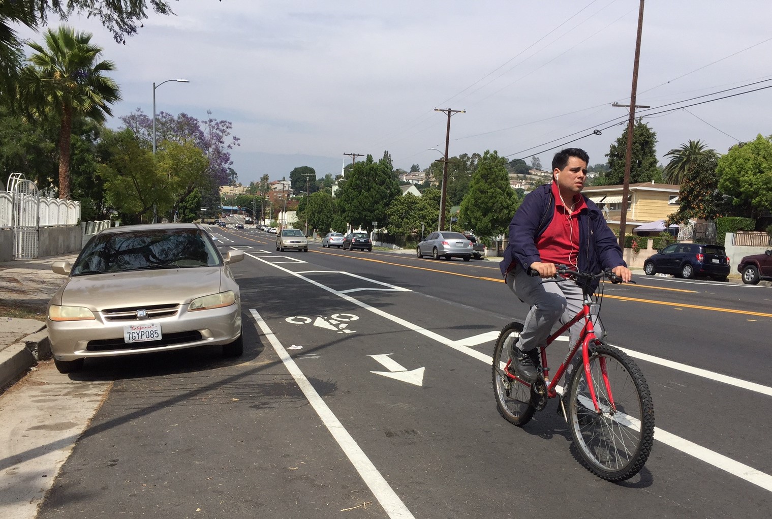
They are a month or two old now, but today Streetsblog L.A. got a chance to visit the recently reconfigured bike lanes on Monterey Road in the Northeast L.A. communities of El Sereno, Hermon, Rose Hill and Monterey Hills. The bike lanes extend 1.8 miles from the intersection with Cassatt Street/Lomitas Drive (near Huntington Drive) and the city border with South Pasadena. Bike lanes were added to Monterey Road in 2013; the street striping was recently reconfigured after resurfacing. A half dozen blocks (south of Avenue 60) received a road diet and upgraded basic bike lanes to buffered ones.

Protected bike lanes through the Monterey Road Pass.

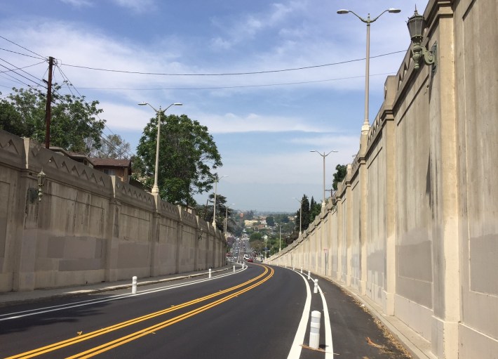
The reconfiguration also included about a quarter-mile of protected bike lanes through the 1930 Monterey Road Pass, sometimes called the “upside down bridge.” The pass road is from the same era as L.A.’s historic river bridges, and exhibits similar elegant concrete details and handsome lighting standards. This appears to be the fifth protected bike lane project in the city of L.A., after the Second Street Tunnel, Reseda Boulevard, Los Angeles Street and Van Nuys Boulevard.

The area is fairly hilly, with relatively few bicyclists or pedestrians. The lanes connect with the existing steep bike lanes on Via Marisol.

New buffered bike lane on Avenue 60

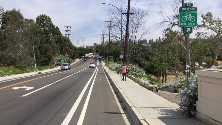
The Monterey Road lanes also connect to a 0.2-mile stretch of new buffered bike lanes on Avenue 60 that extend from Monterey Road to Benner Street. The Avenue 60 lanes connect to the Arroyo Seco Bike Path via a ramp through Arroyo Seco/Hermon Park.

ALSO ON STREETSBLOG

LADOT Has Completed More Than 50 Miles of Road Diet Bike Lanes

|
Earlier in 2014, the national Streetsblog Network website highlighted BikeSD’s coverage of the city of San Diego’s first road diet bike lanes. Streetsblog Los Angeles has covered quite a few city of Los Angeles road diets over the past few years; most of them non-controversial, including 7th Street, Grand Avenue, Hoover Street, and Myra Avenue. A few of […]

Sharrows Coming to Hermosa Beach

|
Photo: Ron Felsing/Flickr On July 28th 2009, the City of Hermosa Beach approved its Bikeways Master Plan. Hermosa Beach is a 1.7-square-mile South Bay city with a population of about 20,000. Their bike plan is a one-page map in a 5-page staff report, done in-house. Hermosa’s City Council meeting videos and documents are very conveniently archived and indexed on the […]

LADOT’s FY11-12: A Banner Year for Bikeways

|
Back in a January 2012 L.A. Streetsblog article, Joe Linton stated that LADOT was “not quite on track” to complete Mayor Villaraigosa’s pledge for 40 new miles of bikeway each year. In that article, Linton projected only 31 new miles to be completed during Fiscal Year 2011-2012. The fiscal year ended two weeks ago, and LADOT […]

The MyFigueroa! Doubters Speak: Fig Too Special for Cycletracks

|
After years of whispering in the ears of CRA and LADOT staff, and avoiding public comment, the opponents of the MyFigueroa! project to put a road diet, cycletracks, bike lanes, improved crosswalks and better transit facilities on South Figueroa street broke their public silence in the L.A. Downtown News . The basic argument against the […]