Idea from Shared Use Mobilty Conference: Charge For Access to the Curb

A sign, purporting to be posted by the L.A. Metro transit agency, says “Uber & Lyft Drivers – Please do not block the bus zone”. Photo: Erik Griswold
During a panel at the Shared Use Mobility Summit last week to discuss competition for street space, CMAP senior planner Lindsay Bayley wanted the audience of transportation professionals to consider charging to manage the surge of app-based car use.
Other panelists included officials at the New York City, San Francisco, and federal transportation departments. The federal planner was there because the U.S. Department of Transportation has funded many high-tech pilots in cities.
One of the themes from the panel, which was moderated by Meg Merritt, a planner from the consulting company Nelson Nygaard, was that ride hail services like Lyft and Uber have finally convinced cities that curb space on streets is extremely valuable. Curb space can be used for plazas and parklets – prolific in New York City and San Francisco, but not Chicago – and bus lanes, bike lanes, loading zones, bus stops, personal car parking, and drop off and pick up areas for "Lyftuber". (That's the term I use instead of having to write "Lyft and Uber" all the time.)

A city's policies should determine who or what gets access to the curb, and how. For example, it's San Francisco policy – installed in its charter by binding referendum 11 years ago - to deprioritize car traffic: "Decisions regarding the use of limited public street and sidewalk space shall encourage the use of public rights of way by pedestrians, bicyclists, and public transit, and shall strive to reduce traffic and improve public health and safety."
Currently, cities are suffering from high Lyftuber usage that has added more cars and miles driven, and people are using them for trips they would have otherwise taken on transit or not at all. Lyftuber drivers are blocking bike lanes and crosswalks, and are constantly double parked. (Regular people are also doing the same with their personal cars.)
Bayley had an idea: What if there was a device, like the iPass tollway transponder that thousands of people use each day, that debited an account every time a Lyftuber vehicle "touched the curb" and dropped off or picked up a passenger. (Insert excited crowd sounds.)
Not every curb is equally valuable, though, and so dropping off or picking up people in some places would cost more than at other places. The "curb touch fee", or curb pricing, in River North on Friday night would cost more than in Mount Greenwood.
What's great about this idea is that it actually doesn't need to involve a hardware device because the Transportation Network Companies – an industry term for Lyftuber - already know exactly where each of their vehicles dropped off or picked up a passenger. What it would take for implementation is a map, drawn by the city, that outlines the prices of each curb.
Someone in the audience questioned if this should only be implemented for Lyftuber, or everyone else driving in a congested area. The answer? It should apply to anyone trying to get access to the curb with a vehicle.
Chicago, to its credit, now charges a fee in some loading zones downtown, but this is for longer term loading and unloading, not the hundreds of times a day motorists are blocking people walking and biking downtown for a five minutes each. The fee is paid at parking meters that have a red colored "P" symbol.

Bayley also said the fees collected from the curb access could be spent in the neighborhood. That sounds like the parking benefit district in Old Pasadena, in Pasadena, California, and the Special Service Areas in Chicago, where a slight increase in property taxes is spent on streetscape and business façade improvements.
To implement this idea, two companies are already building software for cities: Coord has a "Curb Explorer" map for cities to mark rules for loading and parking on each block, and CloudParc uses surveillance cameras to identify open parking spaces and can automatically issue invoices to curb users.
Stay in touch
Sign up for our free newsletter
More from Streetsblog Los Angeles
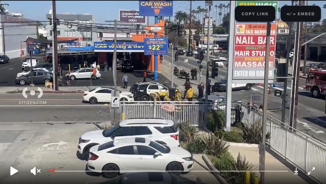
LAPD Was Crossing Against Red Light in Crash that Killed Pedestrian and Injured Six in Hollywood
The department says the officers had turned on their lights and sirens just before crossing, but won't say why they did so.

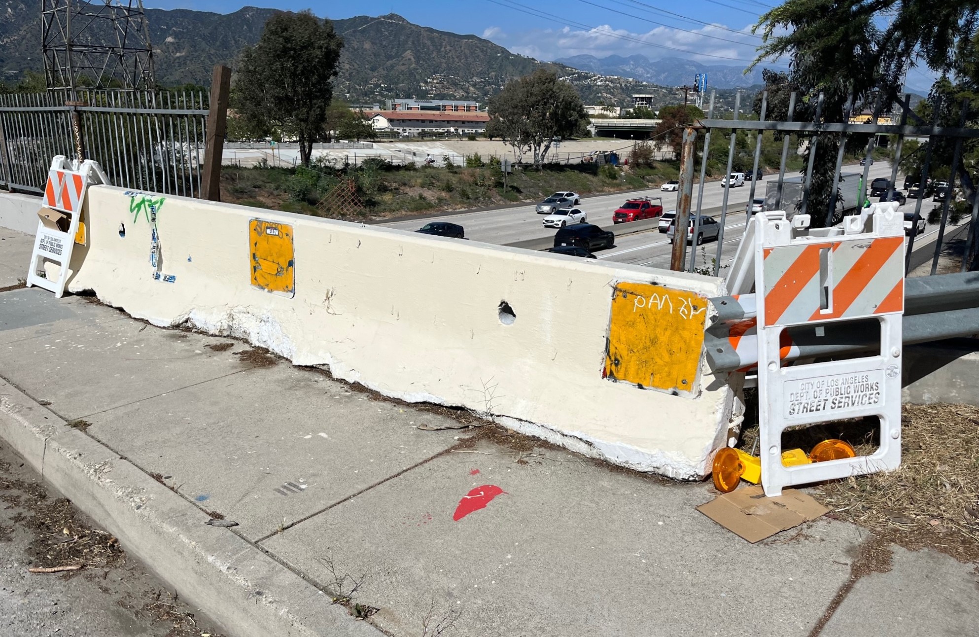
Freeway Drivers Keep Slamming into Bridge Railing in Griffith Park
Drivers keep smashing the Riverside Drive Bridge railing - plus a few other Griffith Park bike/walk updates