
Integrating Land Use and Transportation IV: Boulevard Zones

Last week, Streetsblog introduced a six-part series by Mark Vallianatos looking at how city leadership can start truly integrating land use and transportation in the six geographic zones he outlined: parks, hills, homes, boulevards, center and industry. First, he outlined the series and wrote about parks. Later, “The Hills”and "Homes Zone" got it’s turn.
Each section includes a “ preferred mobility” that the land use and transportation networks should support, a description of the land type and Vallianatos’ prescriptions.
Vallianatos is a professor at Occidental College and the Policy Director of the Urban & Environmental Policy Institute, Board Member for Los Angeles Walks, and regular contributor to Streetsblog.
Without further adieu…
Boulevards Zone
Preferred mobility: bus rapid transit
"Everything you get in that taco is what we live in LA. It's the 720 bus on Wilshire, it's the 3rd street Juanita's Tacos, the Korean supermarket and all those things that we live everyday in one bite. That was our goal. To take everything about LA and put it into one bite.”
- Roy Choi, 2008
The Boulevards Zone is where Los Angeles moves, meets, mixes. I named it after Christopher Hawthorne’s series on six of LA’s iconic boulevards . Los Angeles’ boulevards have intriguing histories, many well-known landmarks, and a strong role in shaping present-day LA. But they are usually not great places to walk or bike along or to spend time on, and have yet to fully adapt to a more diverse and dense city.
This upcoming weekend, hundreds of thousands of people will walk and bike on a portion of Wilshire Boulevard closed to car traffic for the June 23, 2013 Ciclavia. According to Kevin Roderick’s history of this boulevard, the stretch of Wilshire near Western “functioned as a laboratory where Los Angeles worked out the terms of its devotion to driving.” Street inspectors tested oil on Wilshire in 1909 before the road was paved to see which blend could best suppress dust. LA’s first street line marking were painted on Wilshire in 1929, followed by synchronized traffic signals in 1931. More than one hundred gas service stations opened on Wilshire in this period along with numerous businesses sited in buildings shaped to cater to drivers. Historian Richard Longstreth wrote that Bullocks Wilshire’s 241 foot tower was “in essence its own skyline, as if to underline the point that when a destination was easily reached by car, a concentrated shopping district was not needed.”
If you had been driving down Wilshire during the 1963/4 winter holidays, you might have seen a young man with a bowl cut and glasses cycling the length of the boulevard. This was British artist David Hockney. It was his second day in the Los Angeles region, the start of a long intermittent residence where he made radiant paintings of pools, palm trees, showers, friends and lovers. In his autobiography, Hockney (who didn’t know how to drive a car) describes buying a bicycle immediately after arriving in California so he could go visit Pershing Square, which he had read about in John Rechy’s novel City of Night.
“I looked on the map and saw that Wilshire Boulevard which begins by the sea in Santa Monica goes all the way to Pershing Square; all you have to do is stay on that boulevard. But of course, it’s about eighteen miles [actually, just over 15], which I didn’t realize. I started cycling. I got to Pershing Square and it was deserted; about nine in the evening, just got dark, not a soul there. I thought, where is everybody. I had a beer and thought, it’s going to take me an hour or more to get back; so I just cycled back and I thought, this just won’t do, this bicycle is useless. I shall have to get a car somehow.”
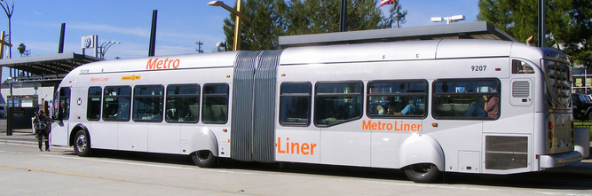
Wilshire Boulevard stayed a bad place for bikes for fifty years. But it’s become one of the busiest bus corridors in the nation. Extension of the purple line subway was approved after decades of delay. The first stretch of bus-only lanes also usable by cyclists just opened.
My goals for land use & mobility on Los Angeles’ boulevards are to hasten their evolution as complete streets and world class boulevards lined with mixed-use and mixed-income neighborhoods:
- Implement bus rapid transit as the primary means of vehicular travel on LA’s major streets. The boulevards of Los Angeles are good sites for bus rapid transit, a form of enhanced bus service pioneered in Latin American Cities. Metro’s rapid buses, Orange and Silver lines and the new bus only lanes on Wilshire can be steps towards a fuller BRT network. Transit planner Jarrett Walker has described how buses can complement future LA boulevards:
“The long Metro Rapid buses [in the year 2030] have many doors that open wide at every stop, so that people can flow on and off as easily as they do on a subway. Indeed, the Rapid has come to feel like a subway on the surface. Nothing gets in its way, so it glides smoothly from one stop to the next past all the frustrations of other traffic. In fact, the Rapid is the only reliable way to travel down most of the great boulevards of LA, if you’re going further than you can cycle. And because it works, all kinds of people ride it.”
The future bus network that he foresees is in fact so easy to use that bus routes no longer have numbers. You just take the Wilshire bus to the Western bus to the Pico bus, because there will be convenient BRT on all of LA’s boulevards. BRT is not just a hope for the future. It as been and is being implemented in many cities. Key features of bus rapid transit often include:
- Separate rights of way or bus only lanes
- The ability to pay/ load fare/ swipe cards at the stop rather than on the bus (to speed loading)
- Bus stops that allow boarding through all doors of the bus at the level of those doors (also for faster passenger entry/ exit)
- Frequent service (every few minutes at peak times)
- Signal priority
For Los Angeles’ specific needs, I’d also prioritize affordability of tickets and passes , as well as ensuring that all stops have seats and shade for the comfort and safety of riders.
- Zone for mixed-use buildings along the boulevards. A network of fast, convenient buses should be reinforced by zoning that allows more people to live along the routes and that provides a mix of housing, employment, shopping and services. A report on transit oriented corridor strategies for Los Angeles noted that a lesson from Curitaba, Brazil, which helped originate BRT, was that “Transit carries more people when it is located along dense corridors that have the shops, businesses, and housing that serve as destinations for its riders. Likewise, proximity to transit provides the incentive for dense building.”
- Curitaba zones for BRT by requiring that the bottom floors of building on its bus corridors be retail and then allowing additional floors if housing is provided above the commercial space. A model closer to home in Los Angeles is the new Cornfields Arroyo Seco Specific Plan (CASP), which allows a mix of residences, commerce and light industrial uses in the same neighborhood and inside the same buildings.
- Zone for sufficient density with bonuses for affordable housing. Expanding transit, cycling infrastructure and walkability in areas with multi-family housing, retail and employment will benefit lower-income residents who are less likely to own cars. Some advocates are however concerned that transit investments and rezoning of areas near transit stations and corridors can lead to displacement of existing residents through the conversion of affordable housing and increasing rents as more people want to live on improving boulevards. For this reason, many affordable housing developers and community organizations support density bonuses that allow market rate housing developers to build larger buildings if they include affordable units. Some go a step farther to encourage low baseline allowed densities to increase the incentive for developers to include affordable units. This can be a risky approach since the City could end up with bad land use and few affordable units density bonuses and other land use regulations have only accounted for approximately 2 percent of LA’s stock of affordable housing). I support setting densities along the boulevards high enough to achieve goals of reduced driving and a sufficient concentration of activities and housing to expand walkability – with bonuses for affordability to allow even higher densities. The CASP referenced above has a baseline floor area ratio of 2.5 to 3 along with density bonuses for low income and very low income units, which seems to be a good compromise.
- Improve walking conditions by enhancing safety and reducing car-oriented land uses. The walkability of a street is based on its perceived safety, usability, and its visual environment. Los Angeles can improve safety by reducing the distance between safe crossings and improving the design of crosswalks. It can also enhance the safety and visual appeal of boulevards by restricting curb cuts, parking lots in front of buildings and car-based land uses such as drive through businesses. The CASP is again a model by limiting these car-based designs that create dangerous and ugly barriers to walkable streets.
- Eliminate minimum parking requirements. Mandatory minimum parking requirements for commercial and multi-family housing deform buildings, poison the air and climate and decrease affordability and prosperity. Parking requirements for retail and office buildings encourage driving. They banished good urban design like the courtyard apartments that L.A. was known for in the 1920s and 30s and transformed walkable shopping districts with buildings built to the sidewalk into strip malls and isolated buildings behind or above parking. Parking requirements also make buildings more expensive, running up rents for apartments and businesses. Tuck-under parking can add 6 percent to the cost of a medium size 3-4 story apartment while underground parking could increase the rent by 50 percent.
- Widen sidewalks and increase street trees to allow for ‘grand boulevards’ in Los Angeles. Analysis of some of the streets considered to be among the world’s great boulevards show that walkable and highly-regarded boulevards tend to have very wide sidewalks- sometimes almost as wide as the roadway – and extensive street trees. There may not always be room for substantially expanded sidewalks, bus lanes and bike lanes but a number of the City’s very broad boulevards have space for all three.
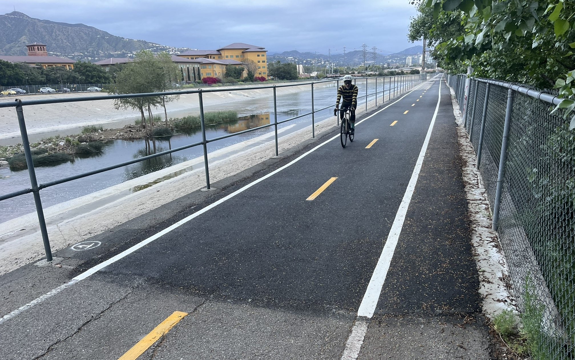
- Build the Backbone network of the City’s bike plan as protected lanes. The City of Los Angeles’ 2010 Bicycle Plan includes 719 miles of painted bikes lanes on major streets. I’ve written before http://la.streetsblog.org/2012/04/17/how-ciclavia-can-inform-implementation-of-the-los-angeles-city-bike-plan/ that this backbone network should be comprised of protected lanes rather than standard painted lanes. There is strong evidence that cities with protected bike infrastructure have significantly higher levels of cycling (and cycling demographics that better reflect the diversity of the population) than cities that lack protected lanes . Up until recently, City agencies resisted planning for protected lanes. However, on-street, protected cycletracks are proposed for LADOT’s My Figueroa! project and the Mobility Element update includes a possible bicycle enhanced network that could consist of protected lanes on some boulevards. The City should seize this opportunity to install a network of world-class protected bike infrastructure on our boulevards to maximize the benefits of cycling for all Angelinos, especially the majority of residents who are not comfortable riding in vehicular traffic.
- Facilitate safe ‘sharing’ of the road by buses and bikes. Adding bus only lanes and/or more comprehensive BRT facilities and protected bike facilities, both of which would typically use the rightmost lane of boulevards, creates the need to avoid conflicts between cyclists and bikes. It is possible for both to share bus and bike lanes as is currently allowed in the new lanes on Wilshire Boulevard, but there is the potential for unsafe situations, especially when cyclists pass a stopped bus by moving into a car lane. Design solutions for bus and bike infrastructure include :
- Implementing bike infrastructure as cycletracks at the level of sidewalks.
- Channeling on-street bike lanes to the right of bus stop ‘islands.’
- Creating bus bays indented into sidewalks with marked passing areas for bikes at the left edge of a shared bus + bike lane.
- Placing BRT in the median or center lane with boarding on buses’ left side and rider access to stops via pedestrian bridges (probably the most expensive option).
- Link building height limits to the width of streets. Building height in Los Angeles is regulated indirectly by floor area ratios and directly by height restrictions, which for multi-family housing and commercial properties, are often guided by height districts . This approach is sometimes disconnected from the context of LA’s boulevards: namely, the width of streets. Allowing a very tall building on a narrow street can create excessive shading and a canyon effect. The opposite problem, common in parts of LA, is to limit height to a couple of stories on very wide boulevards, which makes streets seem desolate and to lack defining edges. Many early zoning codes in places like Paris and New York City set height limits close to the width of the public right of way. Los Angeles might consider replacing many height districts along boulevards with taller limits linked to street width.
- Legalize sidewalk vending of food. Sidewalk vending of food should be legal in the City of Los Angeles http://streetvendorcampaign.blogspot.com/ to promote entrepreneurship, vibrant public space, and food access in underserved areas.
Stay in touch
Sign up for our free newsletter
More from Streetsblog Los Angeles
Metro Board Funds Free Student Transit Pass Program through July 2025
Metro student free passes funded another year - plus other updates from today's Metro board meeting

Eyes on the Street: New Lincoln Park Avenue Bike Lanes
The recently installed 1.25-mile long bikeway spans Lincoln Park Avenue, Flora Avenue, and Sierra Street - it's arguably the first new bike facility of the Measure HLA era

