
LADOT
Eyes On the Street: Metro and L.A. City Restore Wilshire Blvd. at New Subway Stations
Construction is winding down on Metro's 3.9-mile $3.35 billion D Line subway extension section 1
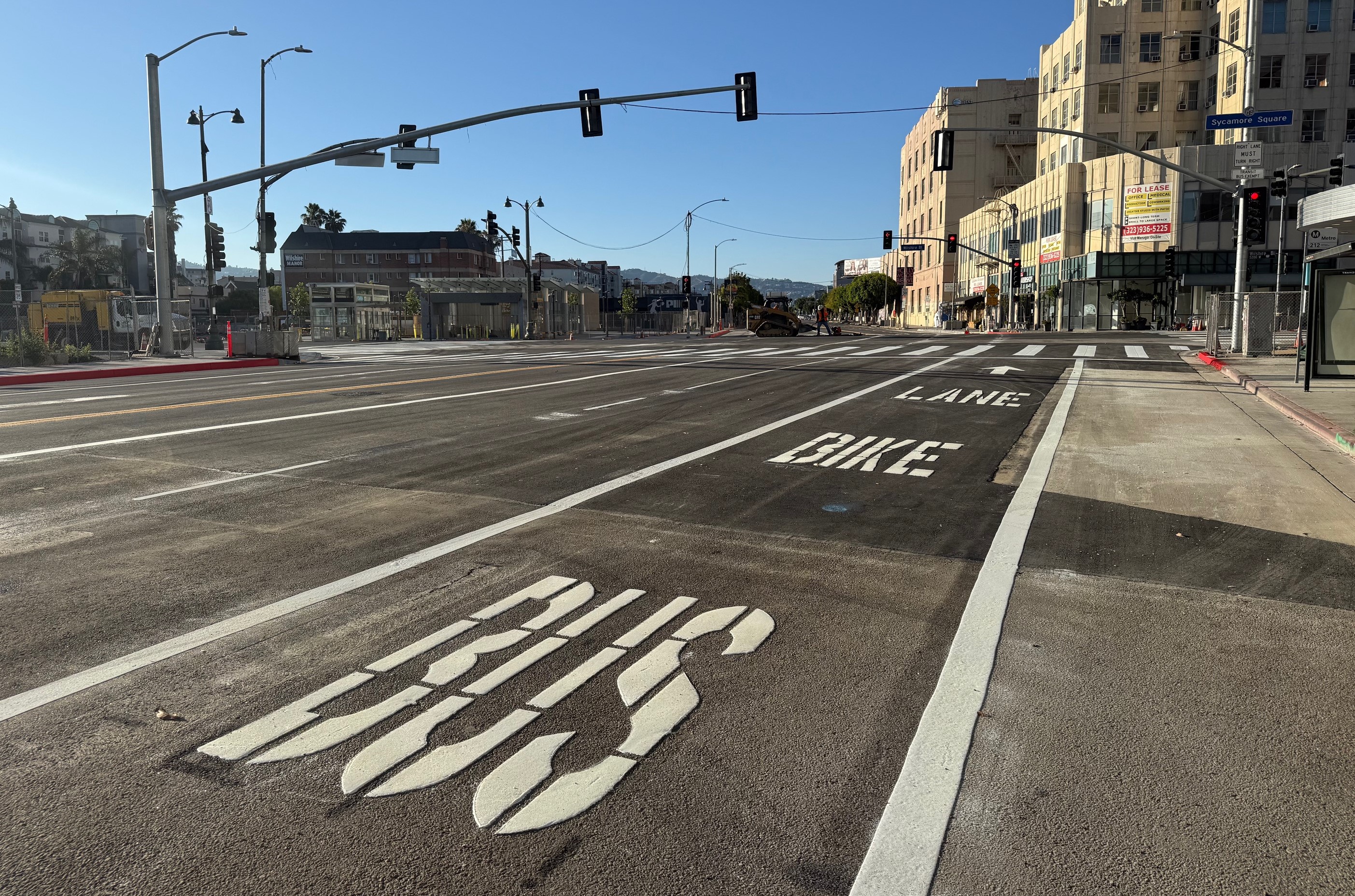
L.A. City Committee Advances Bike Lane Enforcement, Path Maintenance, and Measure HLA Ordinance
L.A. City is taking steps toward improved bike path maintenance, implementing camera enforcement of bike lanes, and further codifying Measure HLA.
Safe Streets Advocates Stage Die-In Protest Against Severe City Budget Cuts
In 2024 L.A. City traffic deaths exceeded 300 for the third straight year - with crash fatalities exceeding homicides. L.A. pedestrians are killed at disproportionately high numbers.

Eyes on the Street: New Protected Bike Lane on San Vicente Blvd
San Vicente's new stretch of parking-protected bike lane extends a half mile, from Keniston Avenue to Redondo Boulevard

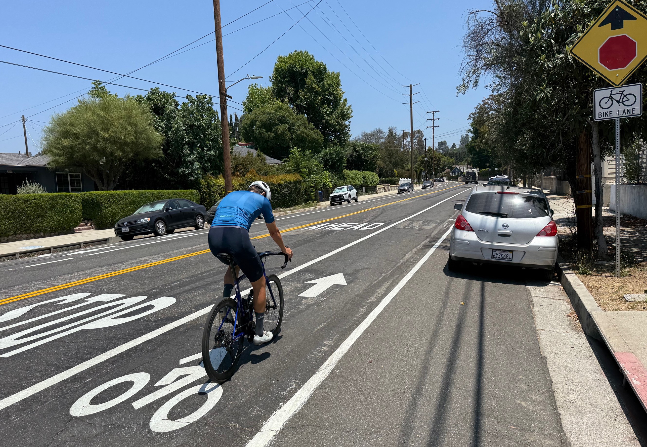
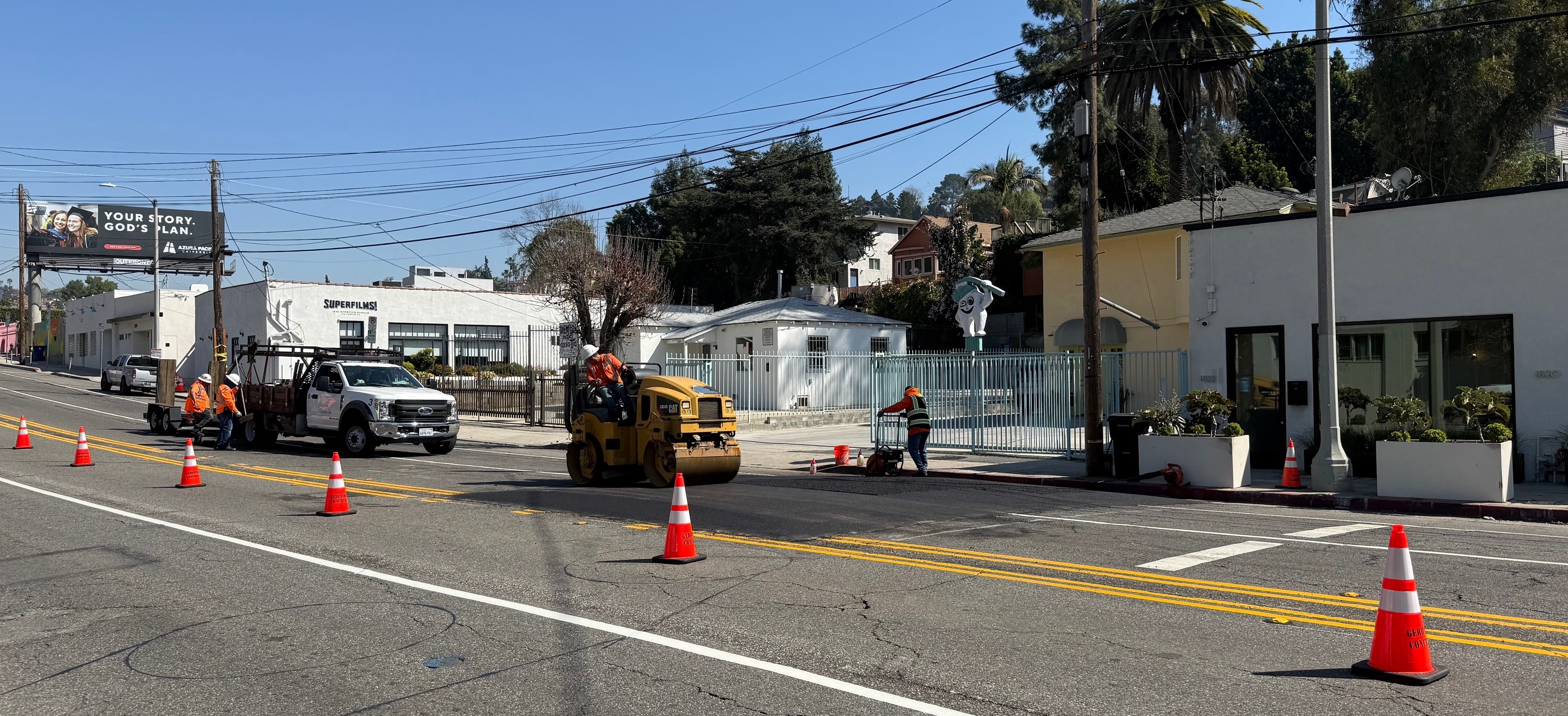
New Bike Lanes on Mission Road and Bonnie Brae Street
New bike lanes are complete on Westlake's Bonnie Brae Street. New partially-protected bike lanes are being installed on Mission Road in Boyle Heights.

Metro Approves Vermont Avenue Bus Project, Favoring Parking Over Bikeway Plan
Metro and L.A. City are planning bus upgrades for Vermont Avenue, but current designs omit planned safety improvements (mainly bike lanes) now mandatory under Measure HLA
Hyperion Avenue Project Should Trigger Measure HLA Improvements
Advocates can use Measure HLA to take the city to court to force city departments to truly make Hyperion Avenue a safer and more livable place
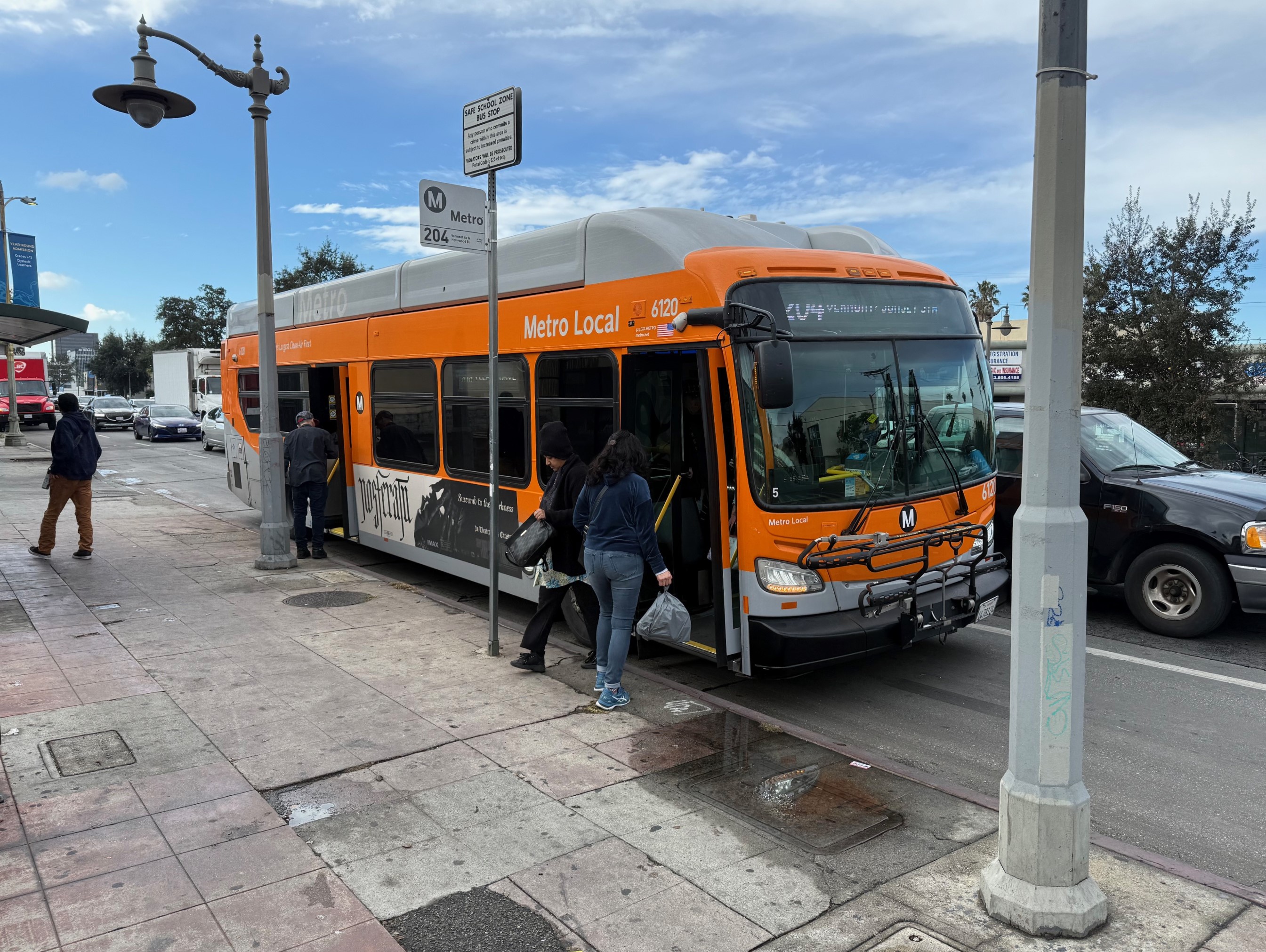
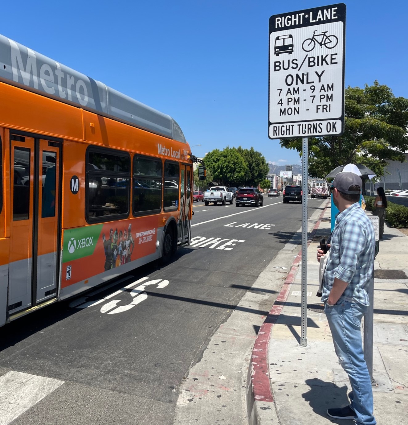
Drivers Beware: Automatic Bus Lane Parking Tickets Start Next Monday – Feb. 17
If you drive, don't risk a ticket - don't park in bus lanes or at bus stops.
Forest Lawn Cemetery Urged Against Safety Upgrades Because “No Substantial Bicycle Use”
Don't make safety improvements on Forest Lawn Drive - because "we have not observed substantial bicycle use" there.
