CicLAvia’s Villavaso Responds to Your Questions: NELA CicLAvia? Why South Fig? How Much Does CicLAvia Cost?
1:46 PM PDT on July 17, 2012
Following the announcement of CicLAvia's new route for the 10/7/12 CicLAvia, Stephen Villavaso, a transportation engineer and member of the CicLAvia Steering Committee, volunteered to answer any reader questions. While he answered some directly in the comments, we're presenting all of the questions with his answers below.
Dennis Hindman: Having a CicLAvia event on a street which is scheduled to have bicycle infrastructure installed, such as south Figueroa St, is a great way for some businesses along the route to see the financial benefits of cycling and can also help increase bike ridership in an area, while building residents support for bicycle infrastructure by giving them the opportunity to ride a bike without the stress imposed by vehicles.
Was the upcoming South Figueroa St project cycletracks installation a consideration in choosing this leg of the route and will this street be repeated in the following CicLAvia?
Villavaso: While the juxtaposition of pre- and post-bike-lane Spring Street (or 7th Street) has been a benefit of the earlier CicLAvia routes, neither street was selected expressly based in that intent. Generally speaking, every aspect of the CicLAvia route is chosen based on a variety of route selection criteria that enable us to accomplish established goals of our route selection process.
The same can be said for South Figueroa. Each of the CicLAvia routes planned thus far have been through densely populated areas, accessible by transit, and culturally diverse when strung together. The routes have been relatively flat and mostly along commercial corridors. Many iconic landmarks have been included, and there are cultural destinations throughout. South Figueroa is a means to an end in one way, by bringing CicLAvia further into South LA and by connecting downtown to Exposition Park and USC. In other ways, it is the feature itself, with its grand 100-foot right-of-way and planned cycletrack.
All of this just to say that, yes, the MyFigueroa project was a consideration while choosing the southern leg for this October's route, but one of many. It is entirely possible that Figueroa will be repeated in future CicLAvias; however, the next CicLAvia route is still in the works.
Will Campbell: Was there consideration given to connecting up the new southern section on Figueroa over to Central Avenue (for example) and back up to create more of a through-flow rather than a stop-and-turnaround endpoint? If so, what were the factors that prevented it from being implemented?
Villavaso: Hi, Will. Yes, CicLAvia South LA Host Committee studied connections to Central Avenue from a few different directions, including one that extended east from Figueroa/USC. The biggest hurdle that we've encountered with getting to Central Avenue is crossing Metro Blue Line and Expo Line tracks. The CicLAvia route is currently limited to approximately 10 miles in length, and we cannot go around the tracks without exceeding that limit. The additional length was the limiting factor since we also wanted to maintain the Downtown portion of the route and expand into Boyle Heights. Metro and LADOT share concerns about light rail operations at the potential railroad crossings during a CicLAvia. Neither agency has developed a plan to maintain CicLAvia participants' safety while limiting impacts to transit service. At one point, someone suggested reaching out to the Army Corp of Engineers to see if they would build a temporary pedestrian bridge across the tracks. A temporary CicLAvia bridge may be possible someday (and rad too), but I'm convinced that an at grade solution is completely feasible.
Anon: There's been some talk about how CicLAvia has to raise a ton of money as opposed to non-profits in other cities. How much did fundraising factor into eliminating the start at Heliotrope and Melrose?
Villavaso: Hi Anon, Thanks for your question. Contrary to what you have heard, funding is a challenge for most ciclovia programs (although to varying degrees). Even the original Ciclovía in Bogotá, Colombia, must expend effort on development to raise the funding necessary to continue their program. Nevertheless, fundraising was not a factor in our decision to remove the westernmost portion of the route for this October's CicLAvia. That decision was primarily based on our goal of expanding the route into new areas. We are currently limited to a maximum overall length of approximately 10 miles (due to our own staff capacity, as well as that of LADOT). The Heliotrope/Melrose leg is a part of our repertoire that we'll hopefully revisit as we experiment with other westerly and northerly expansion in the future.
Walk Eagle Rock: Any word on CicLAvia reaching Northeast LA?
Villavaso: Nothing specifically in the works that I am aware of, but it certainly should!
Stay in touch
Sign up for our free newsletter
More from Streetsblog Los Angeles
Metro Board Funds Free Student Transit Pass Program through July 2025
Metro student free passes funded another year - plus other updates from today's Metro board meeting
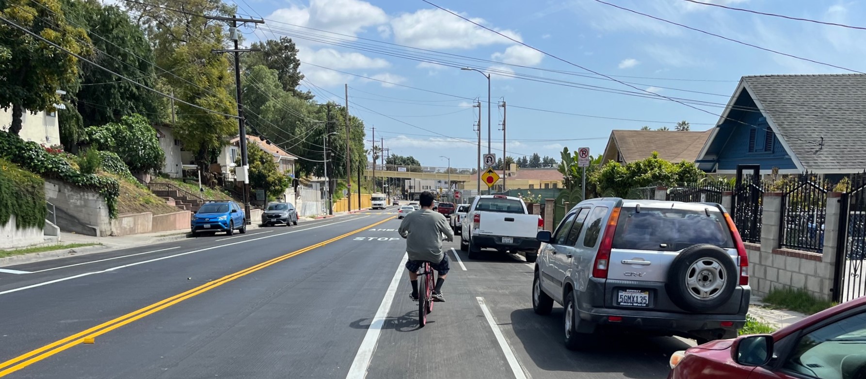
Eyes on the Street: New Lincoln Park Avenue Bike Lanes
The recently installed 1.25-mile long bikeway spans Lincoln Park Avenue, Flora Avenue, and Sierra Street - it's arguably the first new bike facility of the Measure HLA era
