TOD in LA Often Means “Transit Oriented Districts”
8:01 AM PDT on May 5, 2010

(Editors note: Gloria Ohland was on the team that completed the LA TOD study for LA Metro and the City of LA, and was also involved in the U.S. DOT study that compared the GHG emissions of TOD to other development.)
Homeowner associations worried about keeping development out of their precious single-family neighborhoods really don't have to worry about transit-oriented development, or TOD. Yes, LA Metro does have some 26 TOD joint development projects underway to support the public investment in rail by adding density and riders to stations. But the dirty little secret about TOD in LA is that there's very little land near stations that is vacant or underutilized and available for development.
LA is built out, as a recent Caltrans-funded TOD study for LA Metro and the City of LA points out. Metro owns some land near the city's 71 stations, typically sites used to stage rail or station construction - and that is mostly where Metro's TOD projects are going up. But rail lines tend to serve mature neighborhoods. So making stations perform better - in terms of reducing transportation costs for households, vehicle miles traveled (VMT) and GHG emissions - isn't about actual development so much as it is about investing in better bike and pedestrian connections and in policies that promote a good mix of uses so people don't have to drive to every destination.
It's important to remember that the commute trip is just 18 percent of all trips made by households. So if at least some other trips - to daycare and school, shopping, the drug store, to go out to eat, etc. - can be made on foot or by bicycle or transit, then LA does indeed become a clean and green and more equitable city.
Transit-oriented LA would be more equitable because the American Public Transportation Association says owning, operating, insuring and parking a car in LA costs about $10,100 annually. And the study, the Los Angeles TOD Typology and Case Study Project, shows that while housing plus transportation costs (a household's two biggest investments) average 47 percent of area median income (AMI) nationally, housing plus transportation averages 54 percent of AMI in Los Angeles - but just 31 percent in transit-oriented neighborhoods like Koreatown and 26 percent in Boyle Heights.
The LA TOD study, by the national nonprofit Center for Transit-Oriented Development, shows that most of the 28 stations where housing plus transportation costs are less than the national average are in or near downtown, Koreatown and Hollywood - the communities that together constitute the urban spine of Los Angeles and are all located on the subway. These are all neighborhoods where it is possible to live without a car because jobs, shops, services and entertainment are all within walking distances. There are 163,000 jobs per square mile in Koreatown and surrounding neighborhoods, for example, compared to 57,000 jobs per square mile on average.
Transit-oriented LA would be more green because, to cite another recent TOD study soon to be released by the U.S. Department of Transportation, households living within a half mile radius of stations emit 43 percent less transportation-related GHG emissions than the average household, and households living in central business districts, which typically have the highest concentration of transit, emit 78 percent less transportation-related GHG emissions. (Transportation is responsible for about 40 percent of all GHG emissions in California.) The study is cited here.
Former Urban Partners developer Dan Rosenfeld, who built the Del Mar and Vermont-Wilshire TOD projects and who now works for LA County Supervisor Mark Ridley Thomas, says that building structured parking has become so expensive (because of land and material costs) that developers often spend as much money on one parking space - averaging about $30,000/space in cities - as they do on one apartment or condo in a multi-family building. That means that in "well-parked" buildings developers have far less money to spend on design and materials so it's no wonder buildings end up looking cheesy.
Rosenfeld is among those who argue that because of concerns about affordability and sustainability - and the SB 375 mandate that cities plan for development that reduces GHG emissions - we should be making it as easy as possible to develop around stations. The LA TOD study shows that LA station areas range from 5,000 residents and workers in the half-mile radius of stations to 180,000 residents and workers in the half-mile radius.
Peter Newman and Jeff Kenworthy have found that even small increases in density can result in big reductions in VMT and therefore in GHG emissions. Their study shows that if we added another 7,000 resident and workers to station areas that driving would decrease by 30 percent - 7,000 more people equates to about 1600 households, or an increase in density of about 3-5 dwelling units per acre, or 1.75 million square feet of retail. This increase could be achieved through targeted infill and accessory units - like "granny flats" - or through just a few large developments. Which is a good thing since most of the property that is available near stations in Los Angeles is less than a half-acre, which is considered the parcel size needed to attract a major developer.
So if we really want to make Los Angeles a clean, green, transit-oriented city we have to invest in ped and bike infrastructure and "last mile" connections between stations and homes and jobs. We have to create neighborhoods where the mix of uses makes it possible to live locally. And we have to connect jobs and homes and transit; the map below shows that we haven't done that - yet - and it helps explain why transit ridership and TOD isn't as robust as it should be in Los Angeles.

Stay in touch
Sign up for our free newsletter
More from Streetsblog Los Angeles
Metro Board Funds Free Student Transit Pass Program through July 2025
Metro student free passes funded another year - plus other updates from today's Metro board meeting
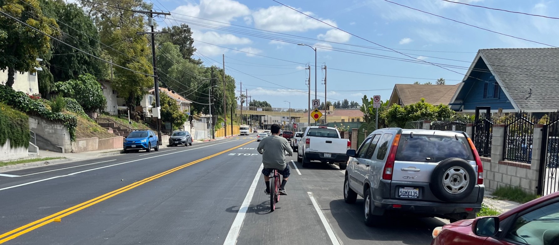
Eyes on the Street: New Lincoln Park Avenue Bike Lanes
The recently installed 1.25-mile long bikeway spans Lincoln Park Avenue, Flora Avenue, and Sierra Street - it's arguably the first new bike facility of the Measure HLA era
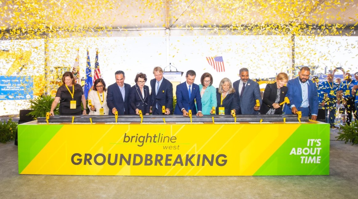
Brightline West Breaks Ground on Vegas to SoCal High-Speed Rail
Brightline West will be a 218-mile 186-mile-per-hour rail line from Vegas to Rancho Cucamonga - about 40 miles east of downtown L.A. - expected to open in 2028
