Umbrellas Tallied during Boyle Heights Pedestrian Count Suggest Street Trees Important to Mobility
While counting pedestrians and cyclists in the transit-dependent and heavily-pedestrian community of Boyle Heights for the Bike and Pedestrian Count this past Saturday, I got to thinking about street trees.
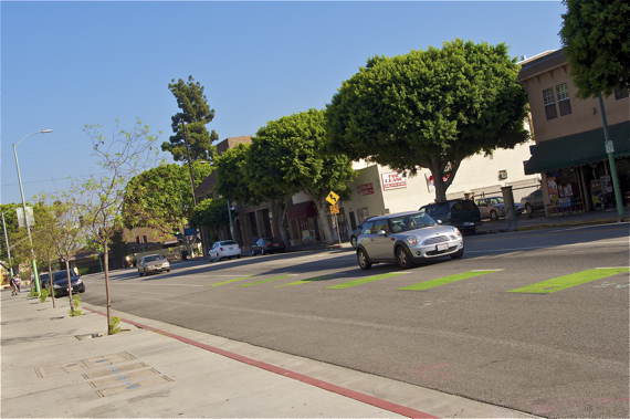
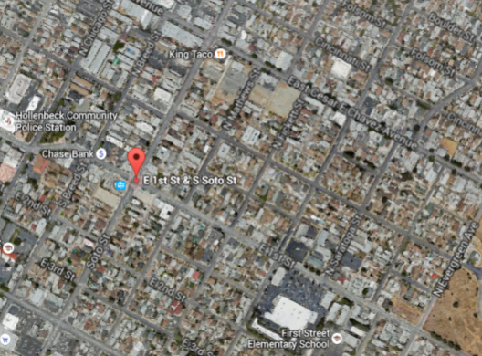
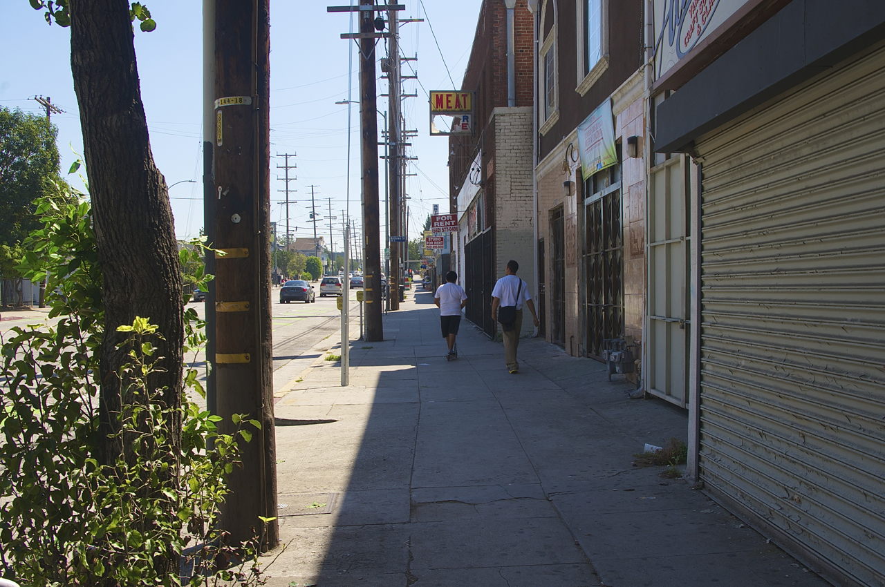
As part of the Eastside Access Project, the section of 1st Street between the Aliso/Pico and the Soto Gold Line Stations in Boyle Heights saw a bevy of new trees put in (above, at left) last year. The 90-plus old ficus trees that previously lined the street had given it much-needed shade, but destroyed its sidewalks in a number of spots. The new trees are unfortunately still several years off from providing any relief from the sun, but they are better than nothing.
Well, that's actually not true in a lot of cases (below). But it will be. Eventually.
There are still many more to be planted, as I understand it, given that the city is required to plant two trees for every one tree removed.
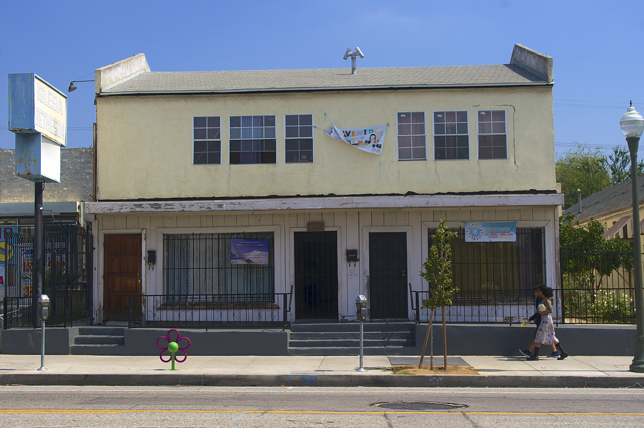
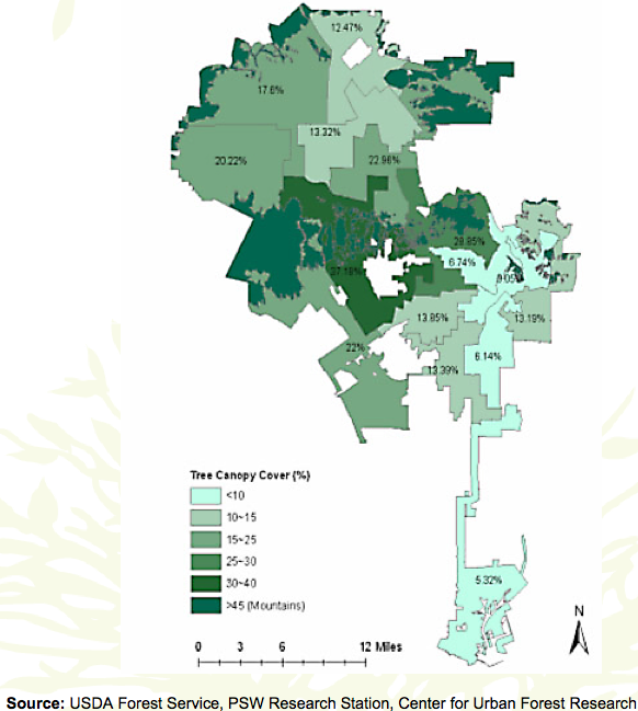
Which is fantastic, because Boyle Heights is in desperate need of trees.
Trees would not only offer much-needed shade but also help to clean the air polluted by the many freeways that surround the community.
Really, judging by the map above, you could pick any corridor (minus Cesar Chavez) and knock yourself out planting street trees.
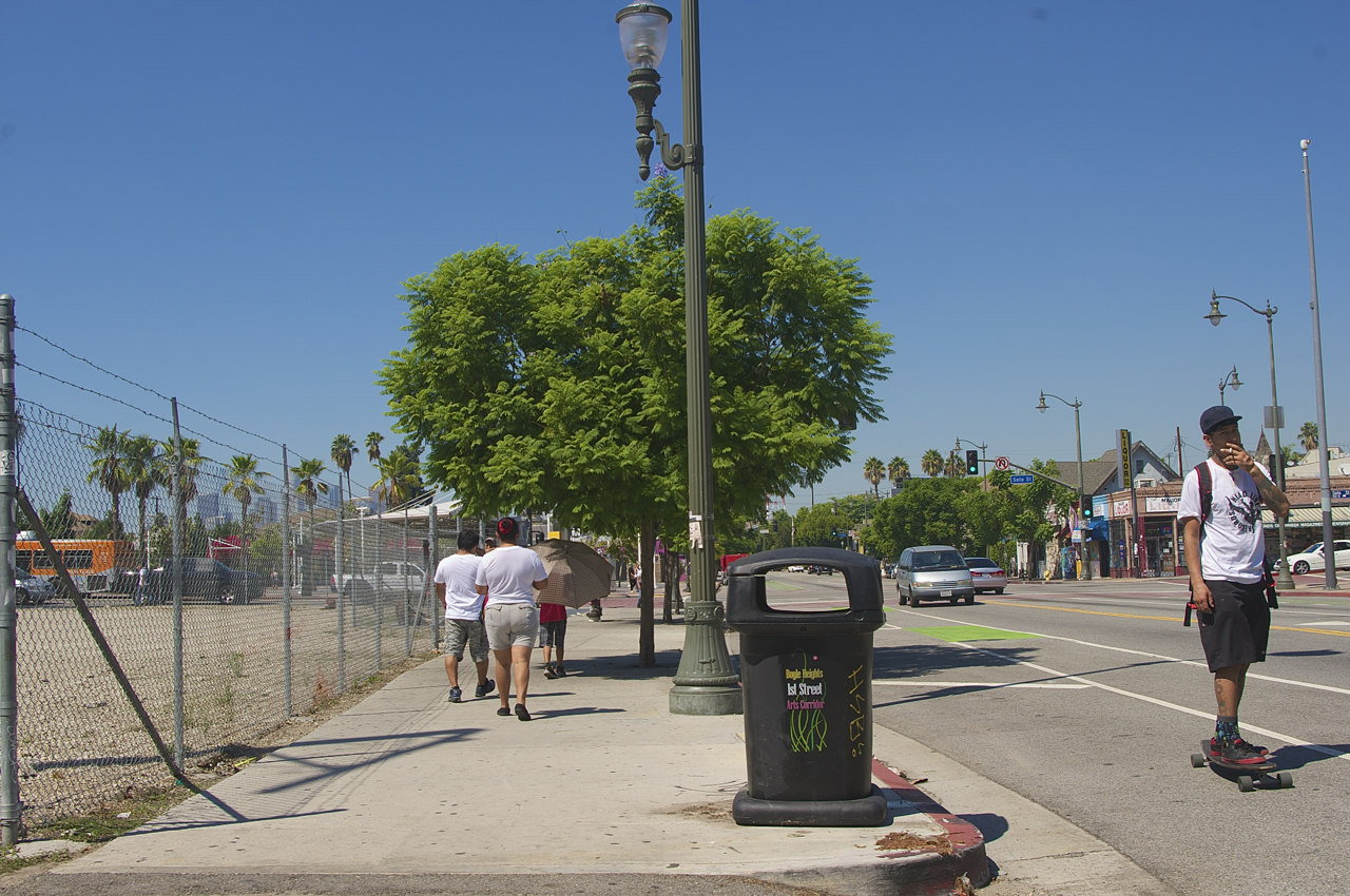
But after spending two hours tallying passersby at the southeast corner of 1st and Soto this past Saturday, I would suggest that both Soto and 1st Street (east of Soto) might be good places to start doing some of that planting.
Soto is a busy street that residents use to connect to the commercial corridors of 1st and Cesar Chavez. It is also an important connection to transit, be it the handful of lines that connect folks to just about anywhere between the LAC+USC Medical Center, Huntington Park, and Long Beach, the bus lines that run along 1st and Cesar Chavez, or the Metro Gold Line station at 1st and Soto.
1st Street is also important, as it connects residents to transit, a Food4Less a few blocks east of Soto, the Evergreen Cemetery, and el Mercadito at 1st and Lorena.
Given that almost a quarter of Boyle Heights households are without a car and others struggling financially use a car sparingly to save on gas, both streets can be quite heavily trafficked by pedestrians. And, like many streets in Boyle Heights, both have long, tree-less stretches where pedestrians are on their own against the elements.
Much like the cyclists along Central Avenue that have "adapted to lack" of infrastructure, pedestrians in Boyle Heights have adjusted to those conditions by bringing portable shade with them wherever they go.
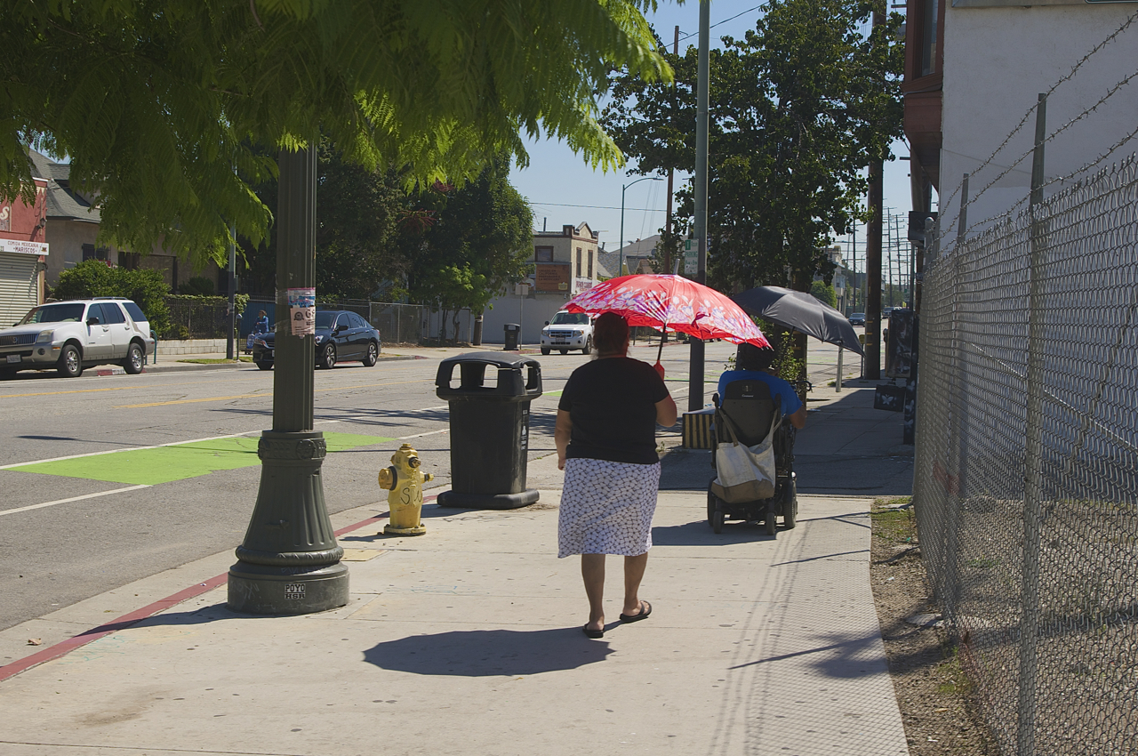
I counted 19 pedestrians carrying umbrellas along 1st St. on Saturday (and saw many more on Soto), out of a total nearing 200. Which doesn't sound like a lot until you factor in that most people were walking in groups of three to five people and the umbrella was often used to shelter more than one person in the party.
Saturday is market day for a lot of folks -- women with children, in particular. Which means people were pounding large stretches of sun-drenched pavement while trying to get groceries, do laundry, and take care of other business, often with small children or elderly or disabled family members in tow.
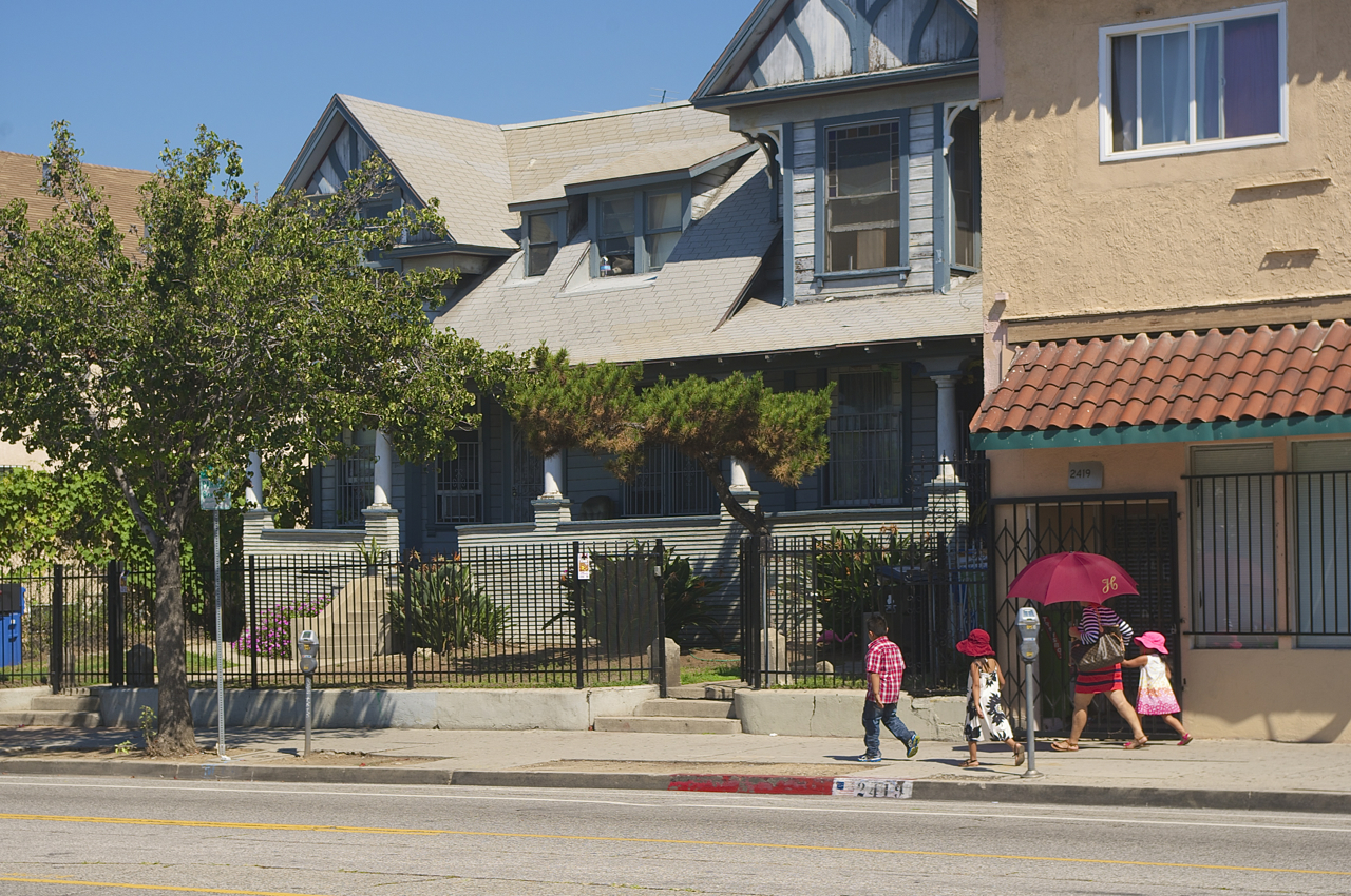
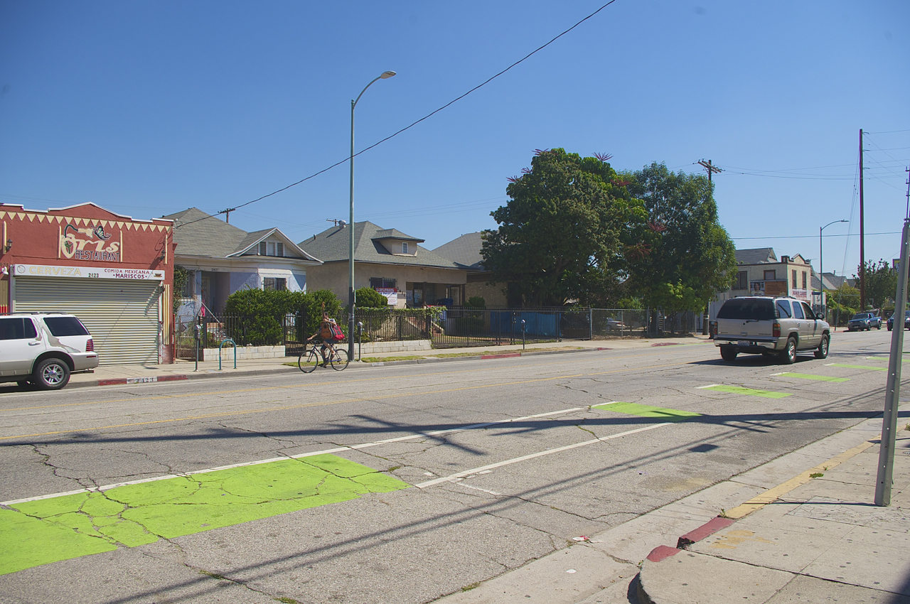
Trying to push carts heavy with laundry or strollers laden with groceries in the heat was clearly no picnic; several people stopped to rest under the shade of the few trees around the Soto/1st intersection or that offered by some of the buildings, once the sun had moved behind them.
The heat may have been the reason I saw fewer pedestrians than I expected and none that appeared to be out for a leisurely stroll (minus a single young man walking a dog).
Even the few cyclists I saw seemed to have a specific reason for heading out into the heat, like the young man with the guitar balanced on his handlebars.
And those that were running errands seemed eager to get home as quickly as possible.
If they ran into acquaintances and wanted to chat, they generally walked together until they found some shade where they could stand for a few minutes before parting ways.
In a community that is so reliant on getting around on its own two feet and where neighbors tend to know each other, it is unfortunate that the public space is not always the most comfortable place for them to meet and linger.
But it's unfortunate for a more practical reason, too: youth from tree-poor, transit-reliant neighborhoods sometimes speak of being embarrassed about showing up to work or school sweaty from the heat or wet from the rain. Where someone like myself can make the choice to brave the elements (generally via bike) and can wear rain or sweat like a badge of honor (albeit a gross one), youth can feel like their lower-income status is being broadcast to everyone around them.
As Los Angeles, via the Mobility Plan 2035, moves forward with encouraging people to leave their cars behind in favor of walking, biking, and transit, creating greener streetscapes should probably figure prominently into that equation. As is ensuring that transit-dependent tree-poor communities are not left behind or, per an Onion headline that strikes a little too close to home, displaced just as their trees come into maturity.
Stay in touch
Sign up for our free newsletter
More from Streetsblog Los Angeles
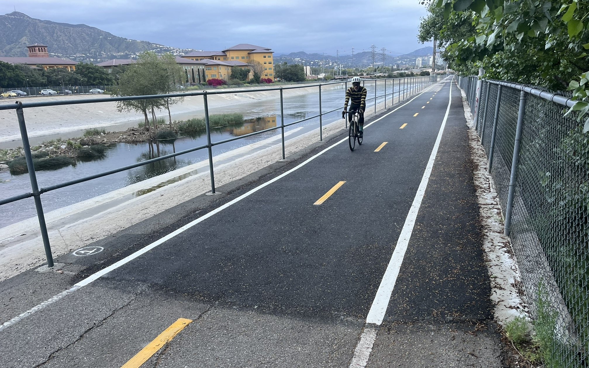
Eyes on the Street: New Lincoln Park Avenue Bike Lanes
The recently installed 1.25-mile long bikeway spans Lincoln Park Avenue, Flora Avenue, and Sierra Street - it's arguably the first new bike facility of the Measure HLA era


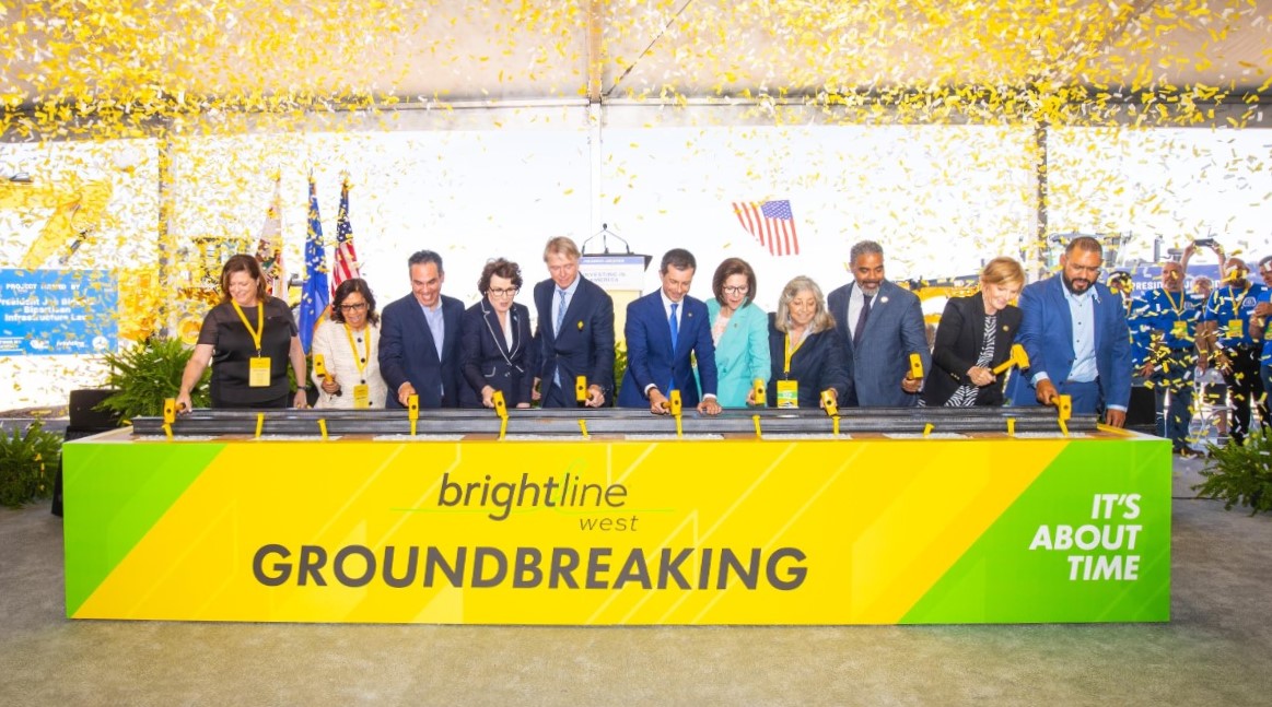
Brightline West Breaks Ground on Vegas to SoCal High-Speed Rail
Brightline West will be a 218-mile 186-mile-per-hour rail line from Vegas to Rancho Cucamonga - about 40 miles east of downtown L.A. - expected to open in 2028