The Glendale-Hyperion Bridge Project, Musings on Bridges as Destinations, and High Hopes for the New Citizen Advisory Committee
I am sometimes puzzled by how disconnected an infrastructure plan can be from what is good for a community.
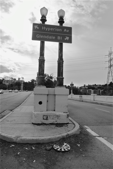
Take the plans in the works to widen travel lanes to freeway standards along the Glendale-Hyperion bridge as part of the seismic retrofit it is about to undergo.
In a video celebrating the upcoming project, Councilmember Tom LaBonge speaks without a trace of irony about how important it is to restore the railings of the historic bridge -- destroyed by cars slamming into them -- to their former glory and to build "a livable city around these bridges." Which he apparently believes will be accomplished by improving the speed of traffic flows and adding crash barriers.
Speaking over footage of a pick-up truck racing and weaving toward Atwater Village, Councilmember Mitch O'Farrell states (also without a trace of irony) that, "due to vehicle speeds on Hyperion Avenue, a median barrier will be constructed to prevent head-on collisions."
Did it really dawn on neither of them that high speeds are partially to blame for the unsafe and shoddy conditions they are seeking to mitigate?
This disconnect makes sense -- to a degree -- if one thinks about where we were ten years ago, when discussions began on how the bridge might be improved.
At that time, cycle-commuting was still a new concept to many and there was little infrastructure to accommodate those adventurous enough to try their luck on two wheels.
It certainly felt like a lonely proposition -- I remember being able to count the number of cyclists I would see in a week's time on my own commute on no more than two hands. Friends thought I must have had a death wish. One would even introduce me at parties by saying, "This is Sahra. She rides her bike everywhere. She's insane."
It was a dark time.
Thankfully, much has changed since then; planning processes have expanded to include advocates in conversations on how to better accommodate all roadway users.
The Glendale-Hyperion bridge retrofit designers missed that train somehow, however, never wavering from the stated purpose of "improv[ing] traffic circulation to improve the operational efficiency of the viaduct complex" or the idea that "traffic" could refer to anything other than motorized vehicles.
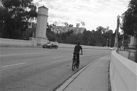
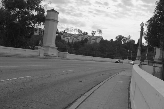
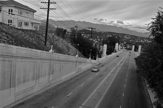
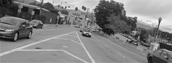
Which makes no sense to anyone who has ever moved across that bridge in a car, on a bike, or on two feet, as I did this past weekend, when I walked back and forth between Atwater and Silver Lake.
What I observed about how people actually use the bridge within just the half hour I spent moving across it made me think it was entirely possible that designers might not have ever visited the site in person.
First, a lot of folks ride their bikes across it, and most of them appear to be doing so because they have to get to a destination. Regardless of the design ultimately implemented on the bridge, they (myself included) will continue to need to cross it on their bikes because there are so few alternative options that allow you to cross both the river and freeway in one shot.
Second, there is already ample space for everybody, as long as we all behave like adults, travel at reasonable speeds, and respect the notion that we all have the right to get where we are going safely, regardless of our mode of transport.
Meaning, car travel lanes should not be widened, as the current plan proposes.
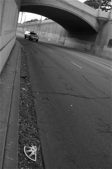
Third, there is another very good reason that lanes shouldn't be wider: CURVES.
People tend to not realize they accelerate and either swing wide or cut too close to a curb when taking a curve. Which helps explain the numerous hubcaps and bits of collision debris littering some of the curvier portions of the bridge.
Allowing for even greater travel speeds by widening lanes, throwing in a center divider, and adding crash barriers (because you realize that by making it easier for people to go faster on curves, you are also making it more likely that they will crash) seems somewhat like ass-backwards reasoning, if I may use the technical term.
Not least because cyclists are likely to be just around one of those blind curves.
A vehicle moving around a curve at 50 or more mph that suddenly comes upon a cyclist struggling his way up the hill might not have time to stop.
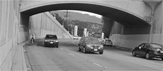
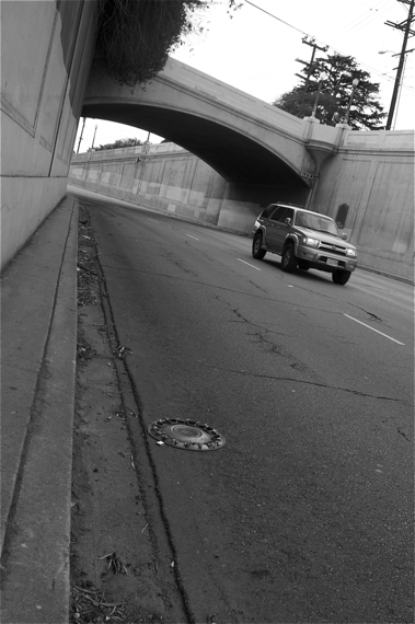
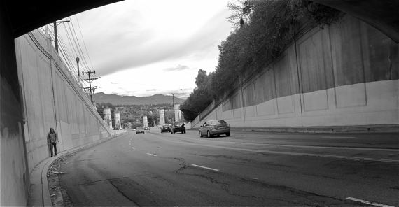
Even without cyclists present, the curves are dangerous.
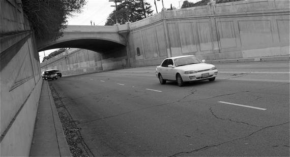
Cars come flying up Hyperion and around the curve under the Waverly crossing, often grazing the curb.
Or worse.
Don't believe me?
How could engineers not have seen these things? Or thought that building a mini-freeway connecting two very pedestrian- and bike-friendly neighborhoods could have been the best possible solution to a problem I don't believe ever existed -- namely, the need to go faster on the bridge?
Weirder still, how is it possible that they never really envisioned the bridge as a destination?
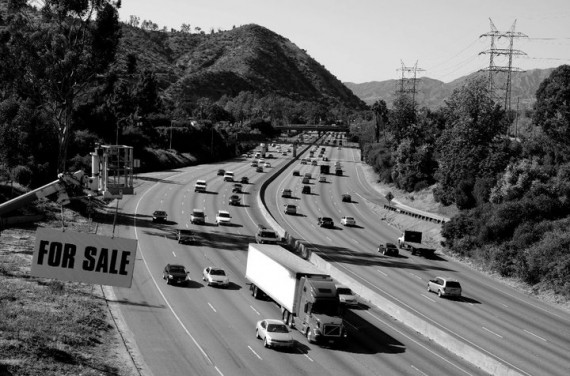
There certainly has been ample discussion of its lustrous history by folks like Tom LaBonge, but precious little thought given to making it possible for future generations to enjoy the unique views the bridge affords you of the river, Griffith Park, the mountains, Atwater Village and even the 5 freeway (for better or worse, freeways are also symbolic of L.A. and oddly beautiful in their own, environmentally damaging way).
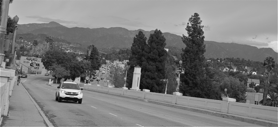
The views are actually pretty amazing.
Amazing enough to make me, and also apparently this guy (below), waive our better judgment and trek under Waverly to get back and forth across the bridge.
And to brave both the human feces along the bridge and the Isle of Pedestrian Despair you reach as it descends into Atwater Village.
Thanks to the tireless efforts of concerned advocates and community members, area neighborhood councils have condemned the current design and endorsed a letter requesting a more "livable" bridge that featured reduced speeds and adequate bike lanes, and strongly encouraged sidewalks for pedestrian access on both sides.
Garcetti has since requested that Caltrans and the Federal Highway Administration grant the city an extension to consult with experts and community members on the design. And a Citizen's Advisory Committee -- comprised of cycling, pedestrian, river, and other advocates from the appropriate council districts -- was recently created to bring more transparency and accountability to the redesign process, should there be one. Their first meeting will be December 12th.
All of which is welcome news, assuming that those behind the creation of the committee are sincere in their intentions and plan to actually incorporate citizen input as they move forward on the project. It is also important that the process be transparent and open to the public, so that those stakeholders and advocates not formally appointed are able to follow and participate in shaping the new vision for the project.
As one of those advocates active in lobbying neighborhood councils on this project, Matthew Mooney, noted at a meeting in Atwater Village, any improvements to the bridge will likely stand for the next hundred years. Which means we should really be thinking beyond efficiency.
A hundred years from now our children will not be thanking us for helping them get to Atwater Village 2.5 seconds faster than we are able to today. They might, however, greatly appreciate having a unique vantage point from which to enjoy views of the revitalized river or fall sunsets that turn the mountains pink.
We can and should do better by such a historic bridge, in other words. I just hope that our city's politicians and planners are willing to help us do so.
Stay in touch
Sign up for our free newsletter
More from Streetsblog Los Angeles
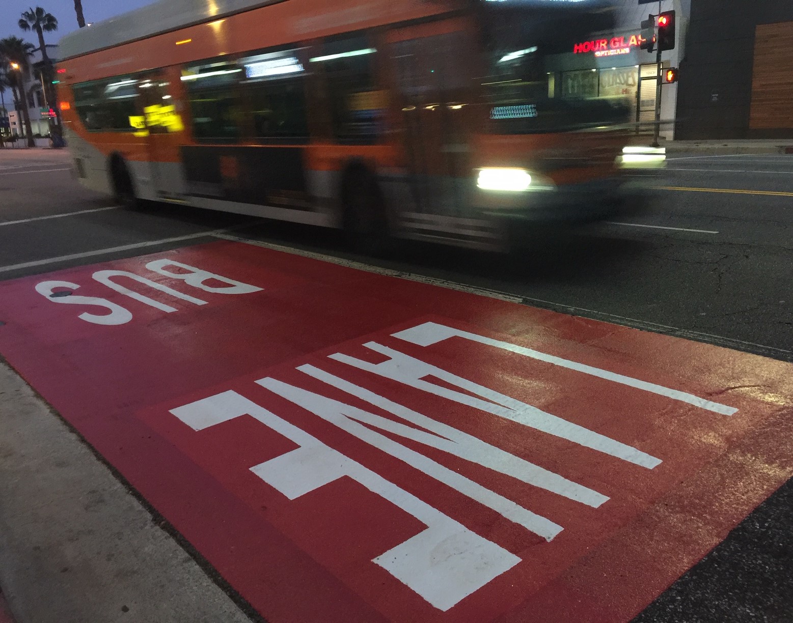
Automated Enforcement Coming Soon to a Bus Lane Near You
Metro is already installing on-bus cameras. Soon comes testing, outreach, then warning tickets. Wilshire/5th/6th and La Brea will be the first bus routes in the bus lane enforcement program.

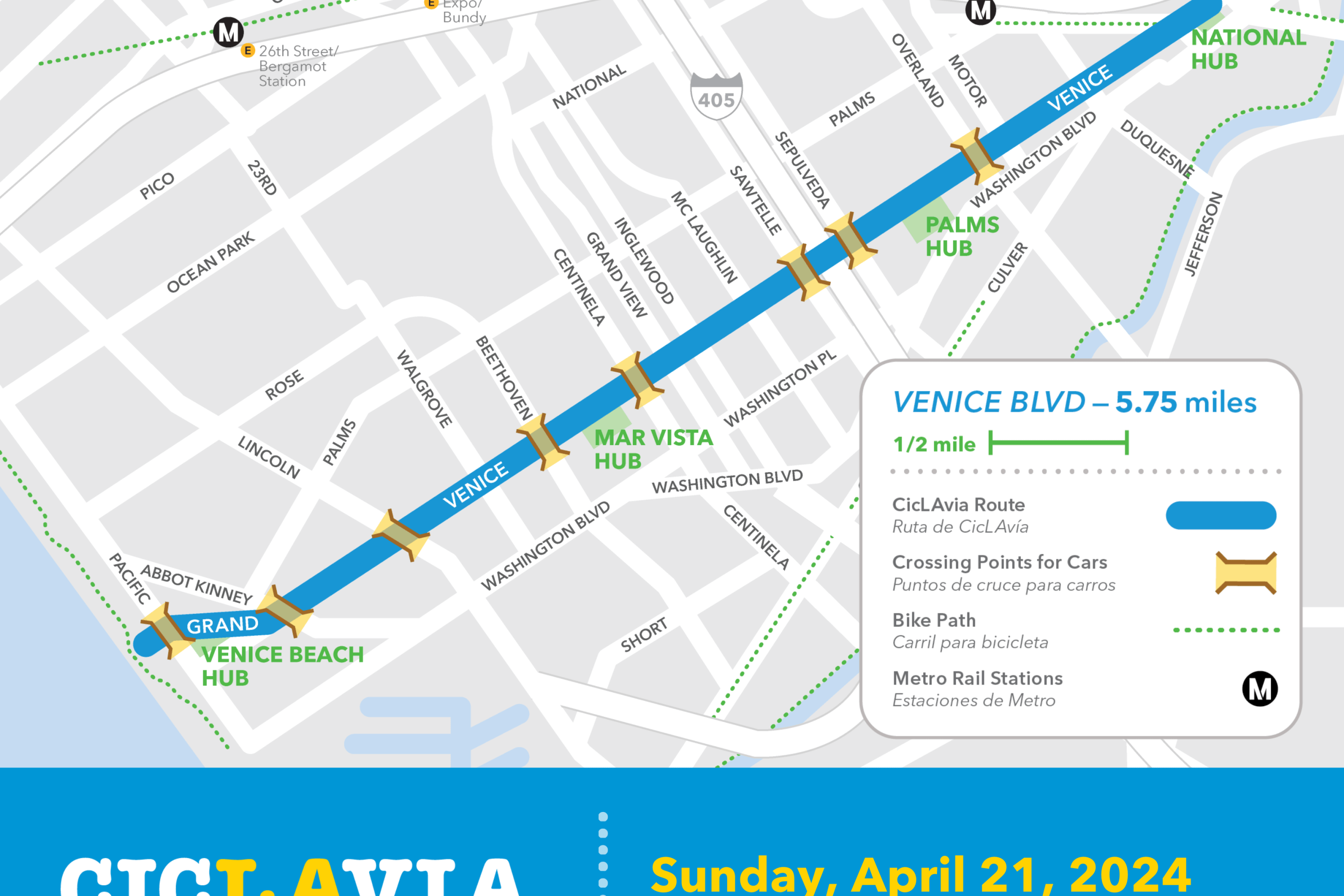
Metro Looks to Approve Torrance C Line Extension Alignment
Selecting the relatively low-cost hybrid alternative should help the oft-delayed South Bay C Line extension move a step closer to reality