Eyes on the Street… All of Them

NYC Blog directs our attention to the map above, which depicts every street in the continental U.S. Map creator Ben Fry (no relation) posts a larger version on his site, and explains it like so:
All of the streets in the lower 48 United States: an image of 26 million individual road segments. No other features (such as outlines or geographic features) have been added to this image, however they emerge as roads avoid mountains, and sparse areas convey low population. The pace of progress is seen in the midwest where suburban areas are punctuated by square blocks of area that are still farm land.
Stay in touch
Sign up for our free newsletter
More from Streetsblog Los Angeles
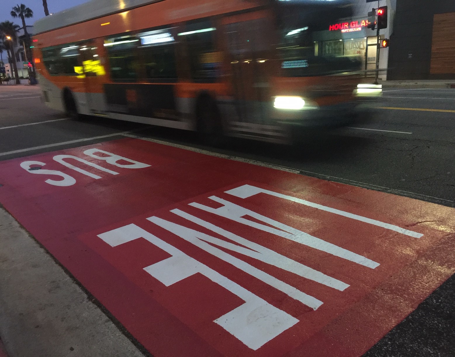
Automated Enforcement Coming Soon to a Bus Lane Near You
Metro is already installing and testing on-bus cameras. Soon comes outreach, then warning tickets. Wilshire/5th/6th and La Brea will be the first bus routes in the bus lane enforcement program.


Metro Looks to Approve Torrance C Line Extension Alignment
Selecting the relatively low-cost hybrid alternative should help the oft-delayed South Bay C Line extension move a step closer to reality