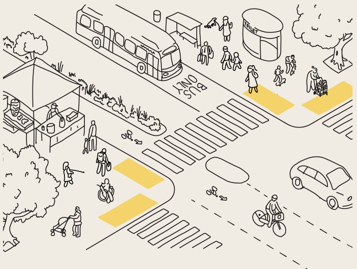
Livable Streets
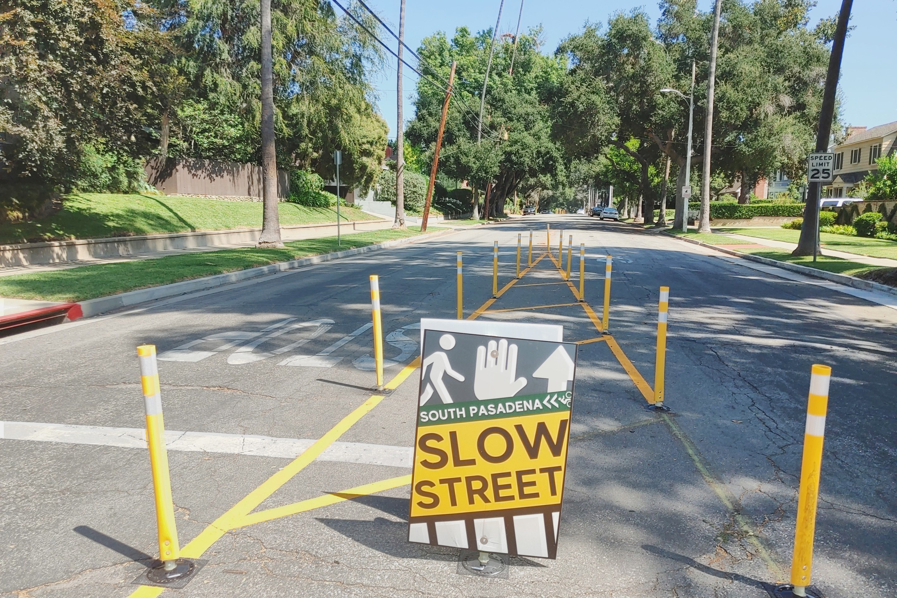
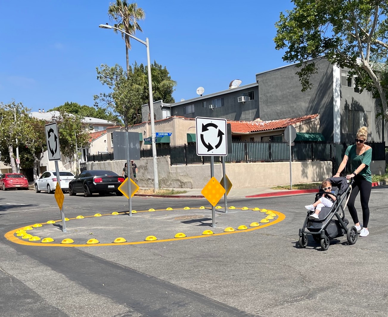
Eyes on the Street: Slow Streets in South Pasadena
The city has a sampler platter of quick-build temporary traffic calming installations to experience for the rest of the year
September 20, 2023

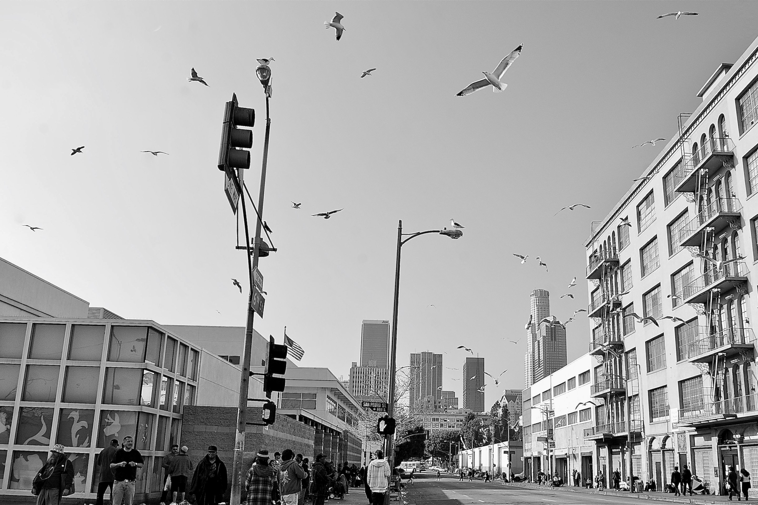
Streets for All Announces L.A. 25×25 Challenge to Re-Allocate Public Space for People
November 1, 2021