The Valley
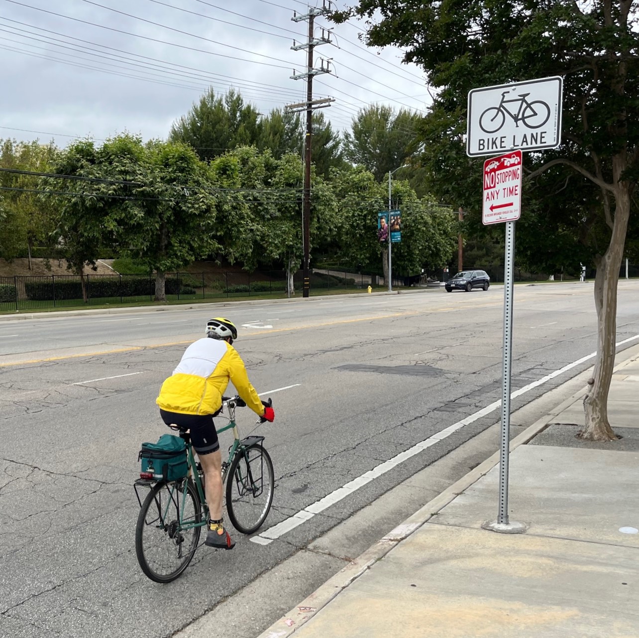
Friday Bikeways Update: Beach Bike Path Damage, 7th Street, and More
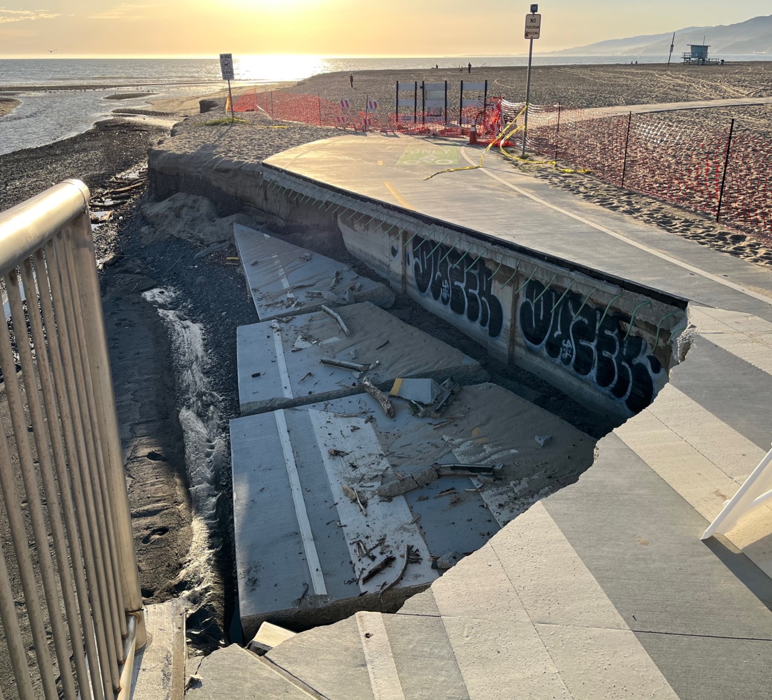
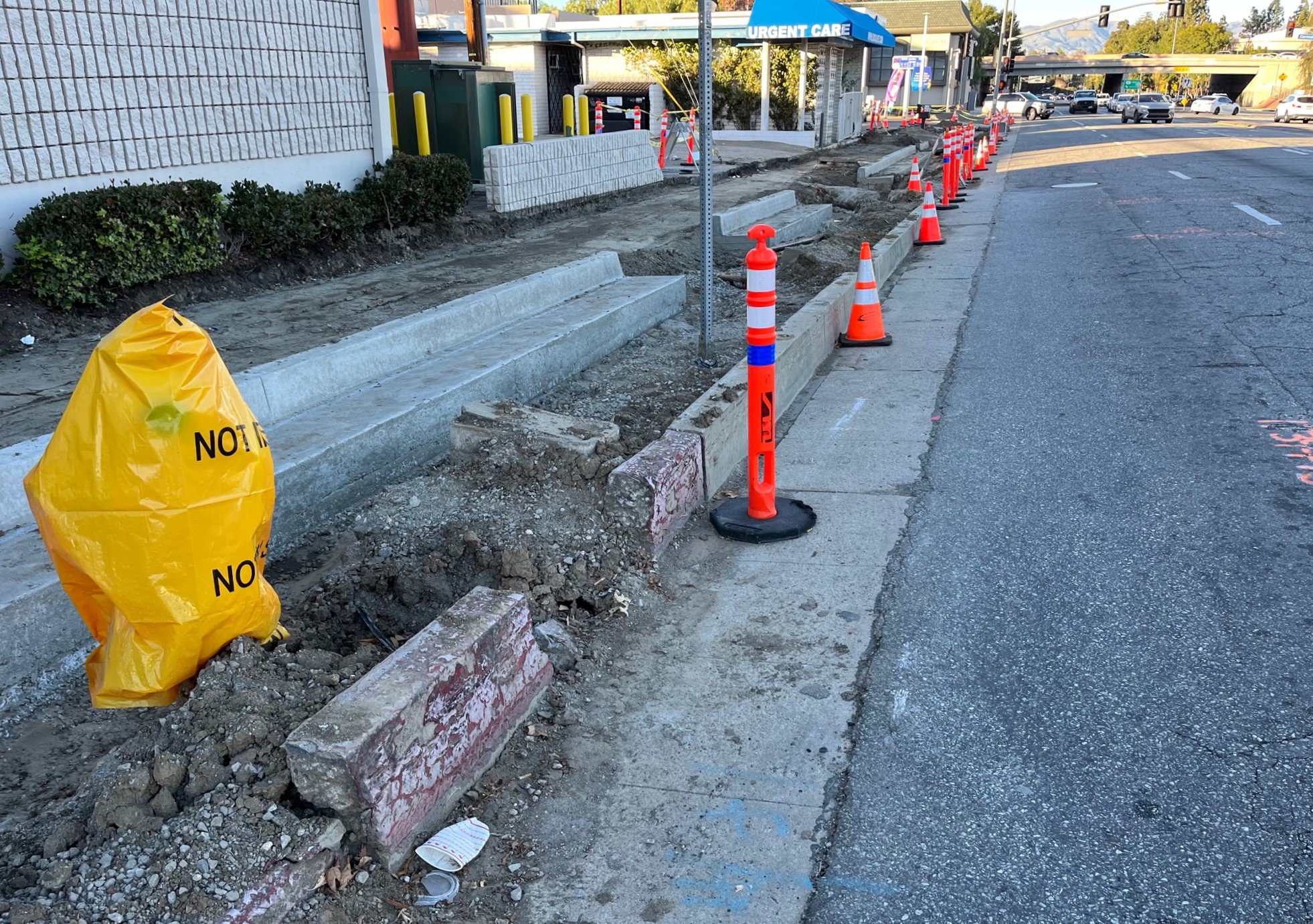
Updates on: beach bike path in Pacific Palisades, Michigan Greenway in Santa Monica, Parthenia Place in North Hills, 7th Street Streetscape in DTLA, and Imperial Highway near LAX
Zombie Street Widening Strikes Topanga Canyon Blvd Today, based on 2011 Approval
Why do zombie street widenings killed in 2015 and again in 2019 still roam the streets in 2024?

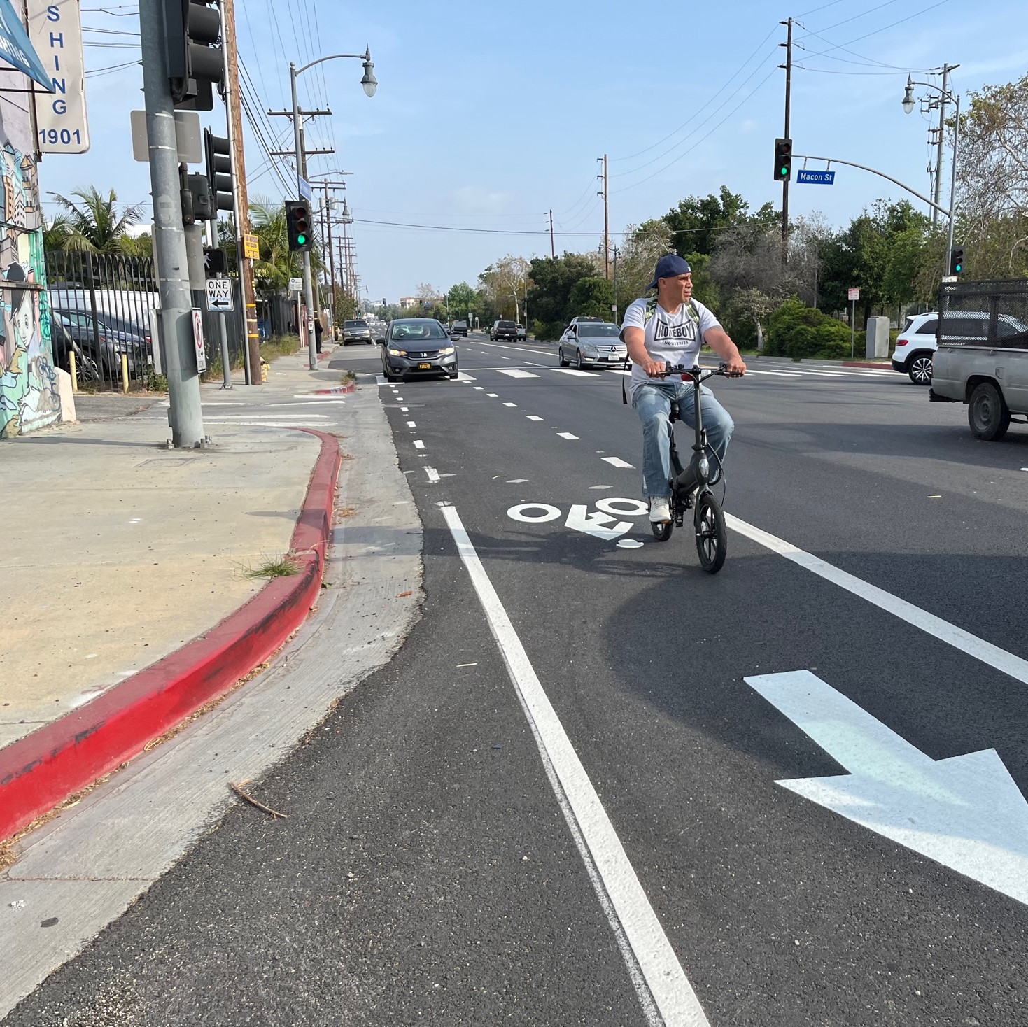
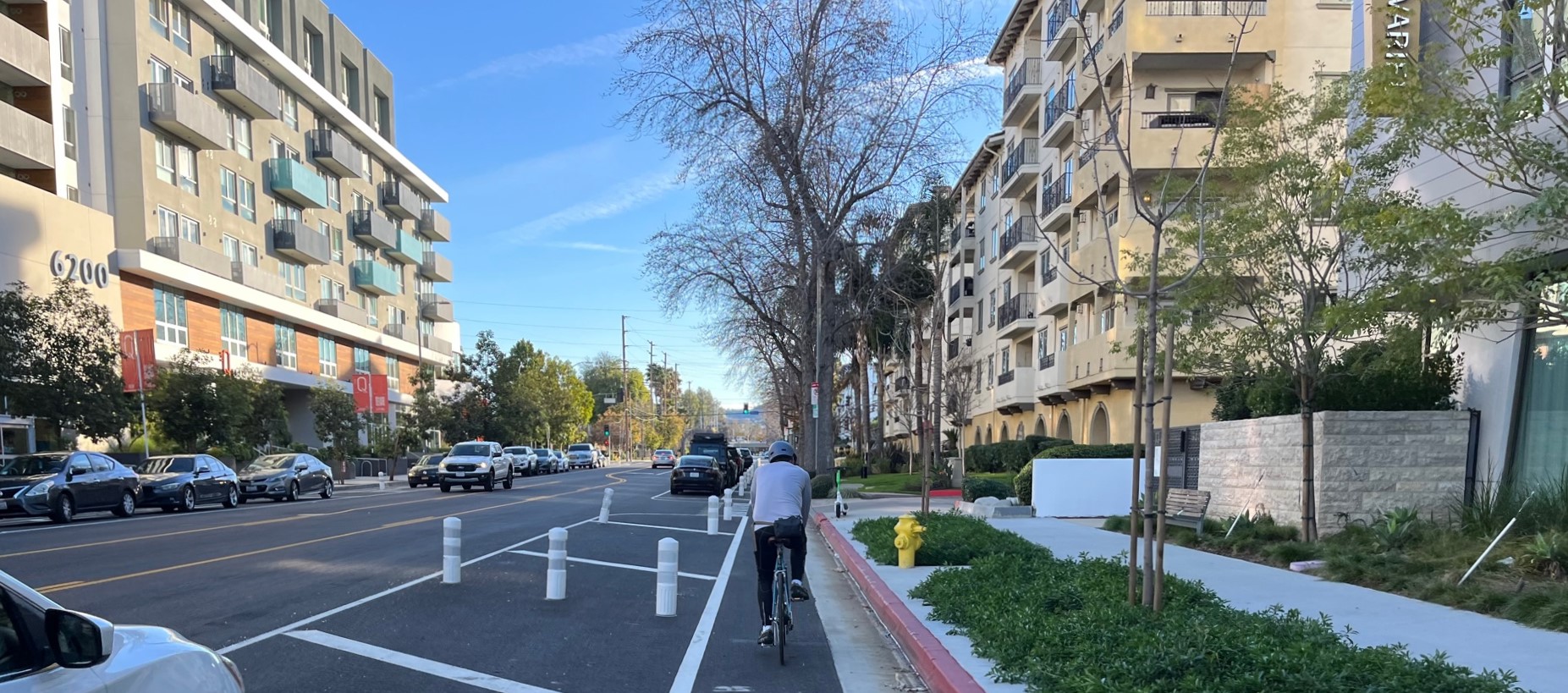
Eyes on the Street: Parking Protected Bike Lanes on Variel
Recent road diet parking-protected bike lanes connect residential developments to the G Line bike/walk path
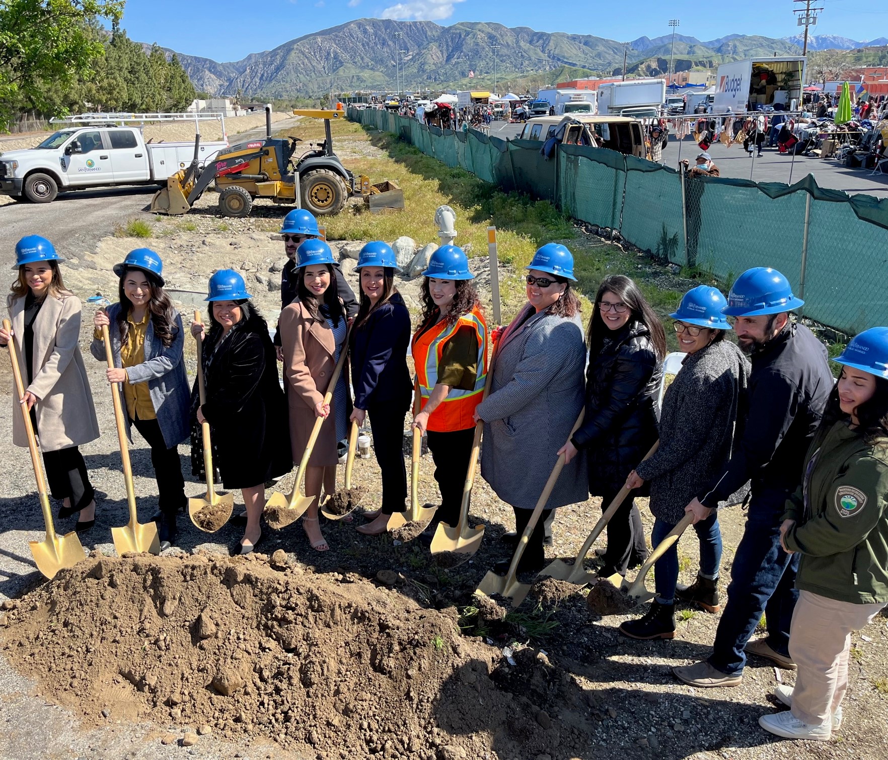
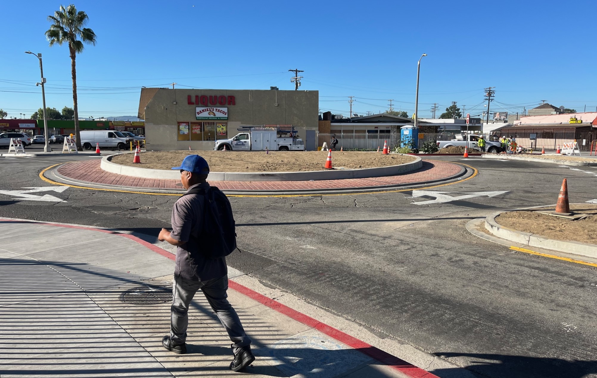
Eyes on the Street: North Hills Traffic Circle Under Construction
StreetsLA is building a new 60-foot-diameter traffic circle at the intersection of Parthenia Place and Columbus Avenue in the central San Fernando Valley community of North Hills. The project includes a short bikeway.
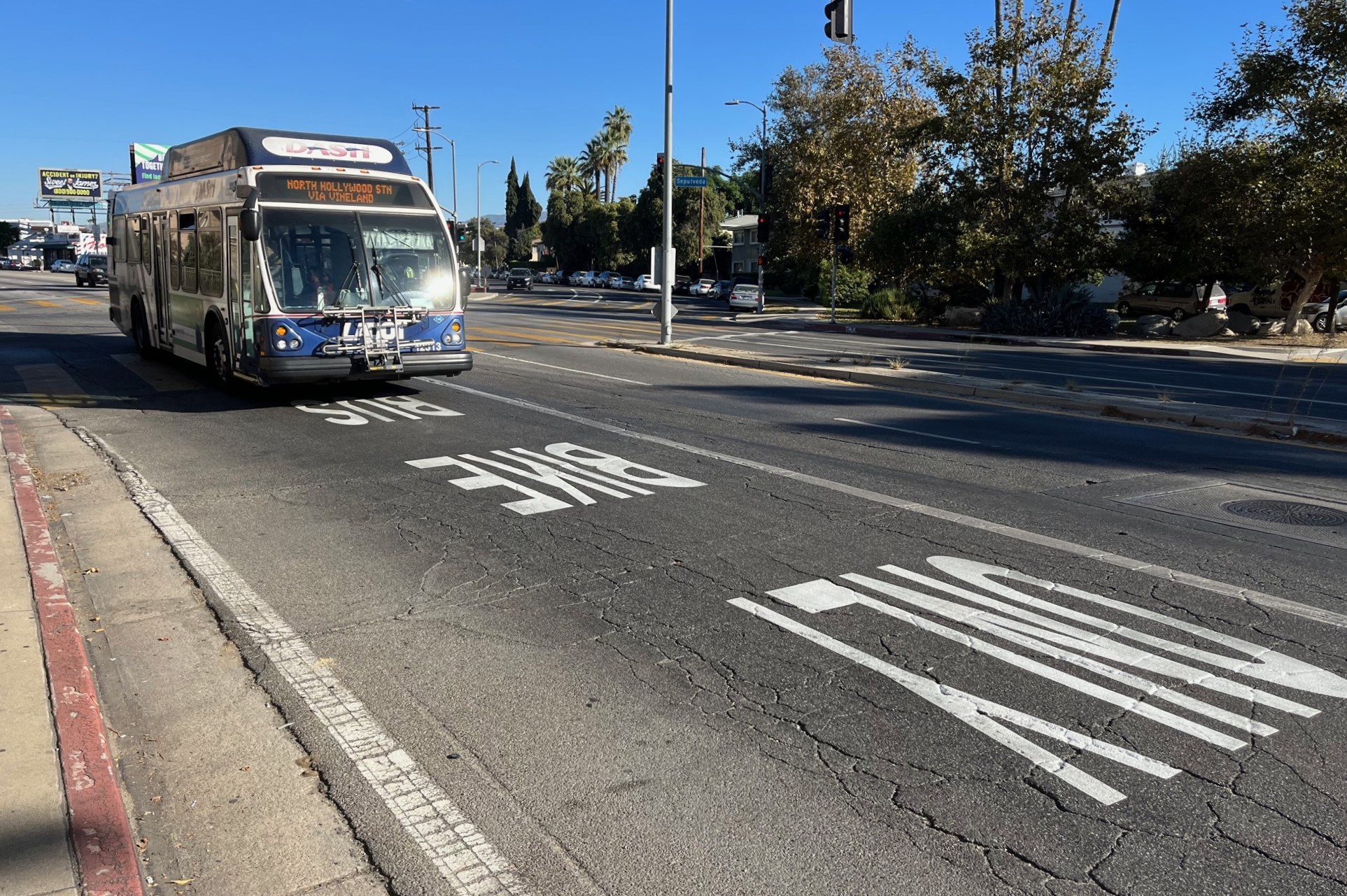
Eyes on the Street: New Bus Lanes on Sepulveda and Ventura Boulevards
6.5 miles of new bus lane on Sepulveda and Ventura Boulevard - the first bus-only lanes in the San Fernando Valley. More bus lanes and lane enforcement on the way
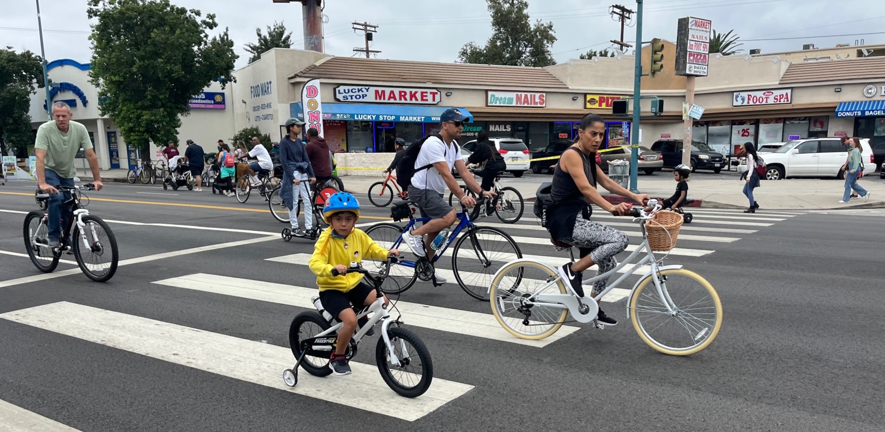
North Hollywood CicLAvia CicLAmini – Open Thread
Thousands of Angelenos crowded North Hollywood streets and businesses. Participants explored on skates, wheelchairs, feet, and bikes.