710 Project Releases REIR; Proposal Creates Further Ped/Bike Danger for West & North Long Beach
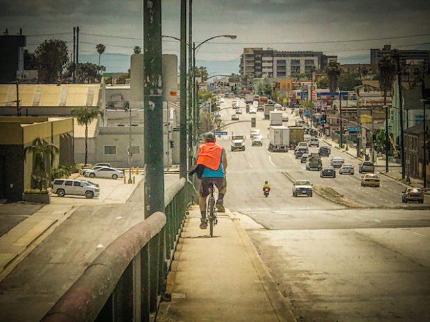
A man bikes east on Anaheim St. above the 710. Photos by Brian Addison.
Syndicated from SBLA sister site LongBeachIze.
I love West and North Long Beach. For me, they are the forgotten neighborhoods, places that easily fall into the fray of pollution, inequity, and a tattered history. This is for a plethora of reasons: following white flight, they became the undesirable parts of the city, fueled by the adjacent Port expansion to the behemoth it is now, the creation of the 710 freeway, and the industrialization that has led to each neighborhood being park poor, unhealthy, and marginalized.
In fact, spurred by the discontinuation of busing students to school by the local school district, I decided to examine how kids access neighborhoods divided by the 710. Here is the the reality:
In short, major arterials like Anaheim and PCH are the only ways for pedestrians and bikes to bounce back-and-forth between West Long Beach and the rest of the city—and they're incredibly dangerous already, which is why I am highly skeptical of how Caltrans and Metro are hoping to alter of these overpasses in its proposed 710 expansion project.
Here’s the thing with freeway expansions in dense places: they don’t just affect the freeway itself but the roads and overpasses in the cities it surrounds—and the newly minted Recirculated Draft Environmental Impact Report/Supplemental Draft Environmental Impact Statement (RDEIR/SDEIS) for the proposed 710 expansion project screws over two communities in particular: the already-marginalized West and North Long Beach neighborhoods.

RDEIR/SDEIS (along their older brothers, EIR and EIS) are reports that tell a community what is being proposed and how it will affect communities—and they're tricky beasts because they're long, jargon-ridden, and complex, complete with thousands of pages of appendices. In the case of the 710, the RDEIR/SDEIS put forth by Caltrans and Metro is one-thousand-eight-hundred-and-seventeen pages long, prompting people to search for soundbites and move on.
For instance, this little bit of loquacious, supposedly great news found on page 32 the evaluation:
The project would improve pedestrian facilities (sidewalks) by replacing the old ones that will be removed as part of the project. Bike travel would also be improved by providing new pavement on the arterial bridges that will be replaced over I-710 and the Los Angeles River, as well as new bicycle/pedestrian crossings. In many cases, existing interchanges will be replaced with diverging diamond interchange configuration interchanges. Bicyclists and pedestrians are a consideration in the design of these types of interchanges and appropriate treatments are applied to balance vehicle, bicycle, and pedestrian use[...] Because sidewalks will be improved, bikeways and trails will be maintained, and bicycle and pedestrian connectivity will be enhanced, the I-710 Corridor Project would improve conditions for pedestrian and bicycle travel, thereby resulting in a beneficial effect to public health considerations related to congestion and mobility.
See, in that wonderfully prolix paragraph talking about how great the project is for pedestrians and bicyclists—there's some deep irony there because increasing ways for car capacity inversely increases traffic, pollution, and congestion—they bring up diverging diamond interchanges, which are what self-described "recovering engineer" Charles Marohn calls "insanity" when it comes to making complete streets that cater to pedestrians, bicyclists, and safety.
And these diverging diamonds will be the first of their kind in California should the project go through.
But the ultimate concern here is the perceived increase in safety derived out of these diamond interchanges and how they allow traffic engineers to check off boxes in the new age: ADA compliance, something for the walkin' folks, something for the bikin' folks. Check, check, check followed by a pat on the back and some sturdy high-fives to each other. "We did it, guys! A complete street!"
Here is what, according to Appendix O, the diverging diamond at Anaheim St. will look like:

There are plenty others: PCH, Willow...
Yes, pedestrians and bicyclists will have to cross four crosswalks to get across the street. I really want you to imagine that (and, if you're feeling really compassionate, imagine you're disabled and approaching this configuration).
I call major bullshit on the fact that these disasters are anything near "complete streets" as diverging diamonds, at their core, are nothing short of propaganda that fuels the idea that we are creating complete streets when in reality, we are creating streets that cater and continue to give power to the almighty vehicle.
On the surface, they eliminate vehicular left turns having to cross traffic—and for drivers, this is good news: left-hand turns become right-hand turns. For pedestrians and bicyclists, sure, it accommodates the come-hell-or-high-water folks who are insistent on getting from one side to the other but in all honesty, for the every day folk who use this, it makes matters worse by bluntly telling them that the space isn't for them. It acquiesces the needs of if not outright shrugs at pedestrians and bicyclists: "Sure, here ya go."
Here is what a generic diverging diamond looks like in action (minus the proposed bike lanes Caltrans and Metro have going on):
The 710 expansion has been in the works for, well, years at this point, with various components involved.
You have the northern-most tip of it, which drivers and Caltrans proposed drilling through a mountain to expand it and was eventually shot down by the courts. But then you have the southern end which starts in Long Beach and runs through the most marginalized neighborhoods of the city: West Long Beach and North Long Beach.
After ins and outs, this updated document is ready for public review and offers three alternatives for the community: a no-build alternative (Alternative 1, shown to compare what doing nothing would do), Alternative 5-C (expansion of 710 between the 405 and 60 freeways), and Alternative 7 (all the components of 5-C but with the addition of a Clean Truck Freight Corridor that only permits zero-emission or near-zero-emissions trucks to use it).
The project had been attacked vociferously by livability advocates, particularly the East Yard Communities for Environmental Justice, Communities for a Better Environment, Legal Aid Foundation of L.A., Long Beach Alliance for Children with Asthma, Natural Resources Defense Council, Long Beach Community Action Partnership, Coalition for Clean Air, and Physicians for Social Responsibility.
No short list.
This battle ultimately resulted in the freeway ultimately not being expanded south of 405 since "south of the 405, we don’t need 10 general purpose lanes," according to GCOG consultant Jerry Wood at the time.
****
The public may submit comments on the RDEIR/SDIES via e-mail through the project website at: www.metro.net/projects/i-710-c
Public hearings will also be held at the dates and locations provided below:
- Wednesday, August 23, 6-9PM: Commerce Senior Center, 2555 Commerce Way, Commerce CA 90040.
- Saturday, August 26, 10AM-1PM: Paramount Community Center/Senior Center 14400 Paramount Boulevard, Paramount CA 90273.
- Thursday, August 31, 6-9PM: Cesar Chavez Park Community Center, 401 Golden Avenue, Long Beach CA 90802.
Individuals who require special accommodation (American Sign Language interpreter, accessible seating, documentation in alternate formats, etc.) are requested to contact Caltrans District 7, Attn: Jason Roach at 213.897.0357 at least 21 days prior to the scheduled public hearings. TDD users may contact the California Relay Service TTY line at 711.
Stay in touch
Sign up for our free newsletter
More from Streetsblog Los Angeles
This Week In Livable Streets
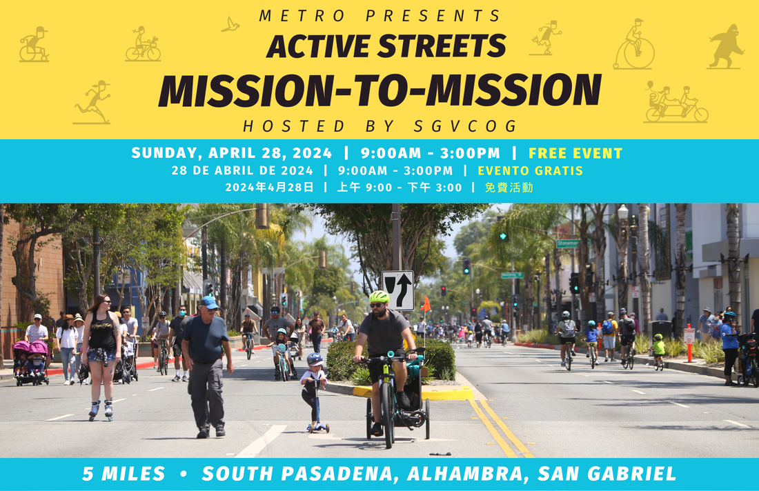
Active Streets Mission-to-Mission, LAPD reports on its use of force in 2023, Pasadena Transit plans, Metro subway construction, and more

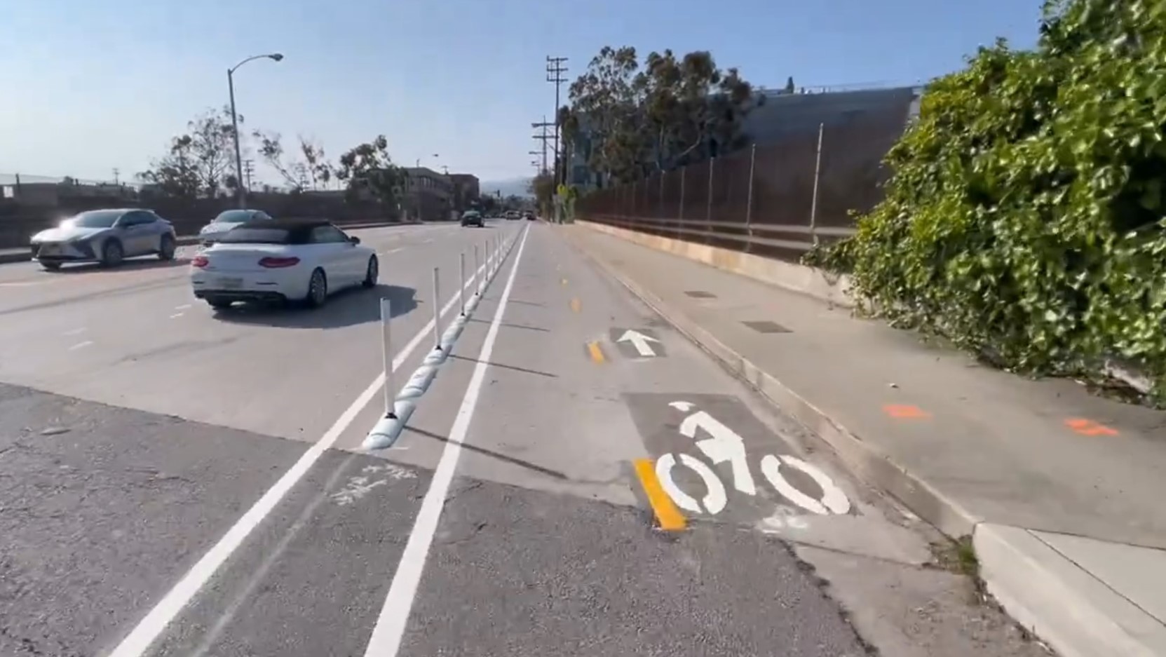
Eyes on the Street: Santa Monica Connection from E Line Bike Path to Downtown Is Almost Complete
“Always be closing gaps in your bikeway network.”
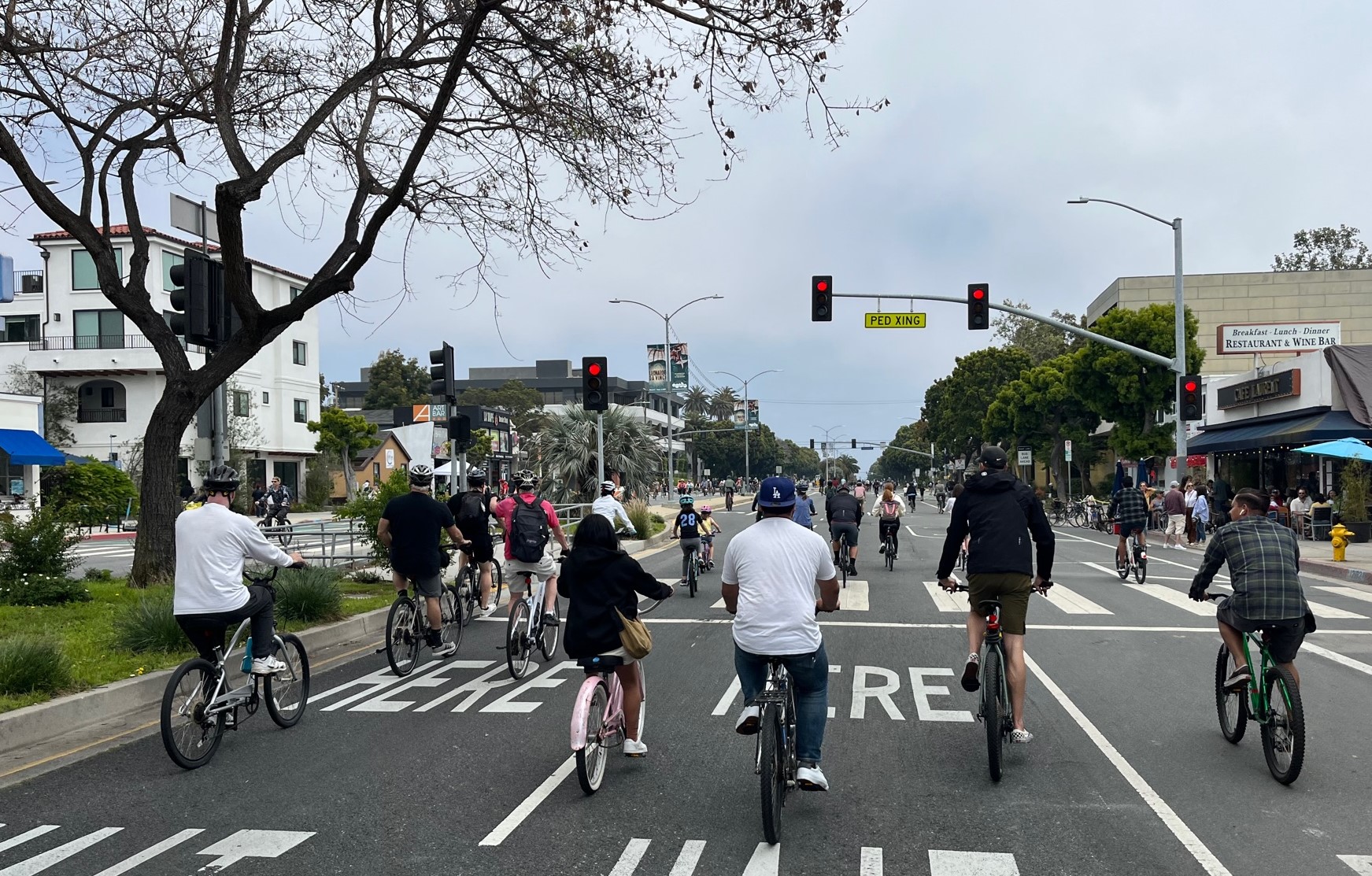
CicLAvia Opens Venice Boulevard – Open Thread
CicLAvia opened six miles of Venice Boulevard - from Culver City Station to Venice Beach