L.A. Debuts New Interactive Vision Zero Map
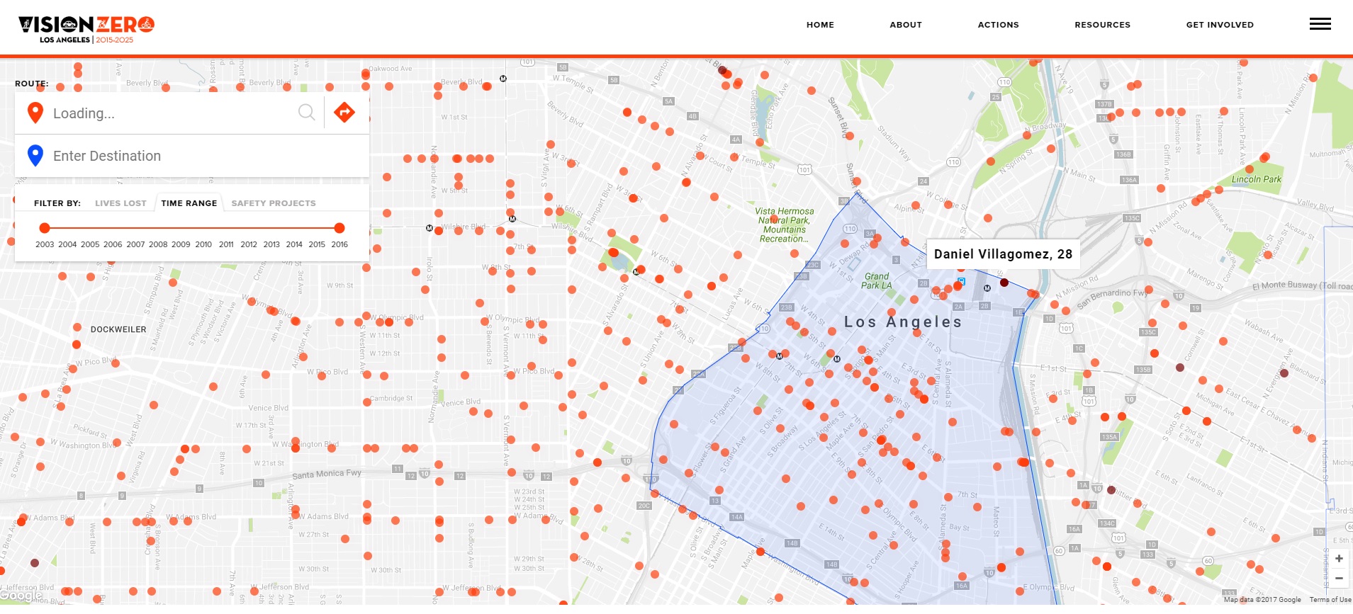
Screen shot of L.A.’s new Vision Zero map
The city of Los Angeles has a new interactive Vision Zero map. The map shows the locations of recent traffic fatalities, identifying them by age, gender, and whether those killed were traveling by foot, bike, or car.
In case readers are not already familiar with Vision Zero, it is the city's adopted policy to reduce traffic deaths to zero. The policy was first adopted as part of the city's Mobility Plan 2035 and strengthened via mayoral directive. Numerous city departments - including Transportation, Police, Planning, and Public Works - are working alongside community groups to reduce fatalities and injuries. Vision Zero efforts focus primarily along the city's High Injury Network (HIN): the six percent of streets where 65 percent of all deaths and severe injuries take place. As part of the city's 2017 Vision Zero Action Plan, staff thoroughly analyzed crash data to identify 40 priority corridors within the High Injury Network. The city's meager Vision Zero programs would take a major leap under a funding proposal currently wending its way through council approvals.
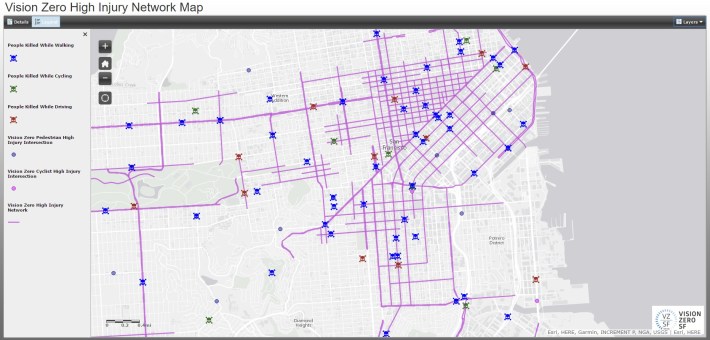
L.A.'s new map went online yesterday. It is the result of a motion by Councilmember Paul Koretz directing LADOT, with the Bureau of Engineering and the Information Technology Agency, to develop an interactive web-based Vision Zero HIN Map that included various data layers showing death and injury locations, similar to San Francisco’s interactive Vision Zero website.
L.A.'s map includes data on traffic fatalities from 2003 through 2016. There are also High Injury Network safety improvement projects mapped as under study, planning, and under construction. When a project is selected, users should see project information. Although, when SBLA tested all the central L.A. projects, the windows that popped up only said, "coming soon" and gave viewers the opportunity to comment to "show support."
Find L.A.'s new Vision Zero map tool here.
An LADOT spokesperson stated that they plan to release a press statement tomorrow. SBLA will revise this article with additional information as it becomes available.
Stay in touch
Sign up for our free newsletter
More from Streetsblog Los Angeles
Eyes on the Street: New Lincoln Park Avenue Bike Lanes
The recently installed 1.25-mile long bikeway spans Lincoln Park Avenue, Flora Avenue, and Sierra Street - it's arguably the first new bike facility of the Measure HLA era


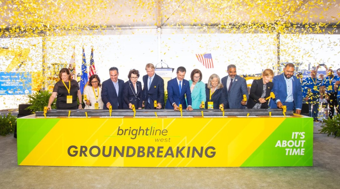
Brightline West Breaks Ground on Vegas to SoCal High-Speed Rail
Brightline West will be a 218-mile 186-mile-per-hour rail line from Vegas to Rancho Cucamonga - about 40 miles east of downtown L.A. - expected to open in 2028
This Week In Livable Streets
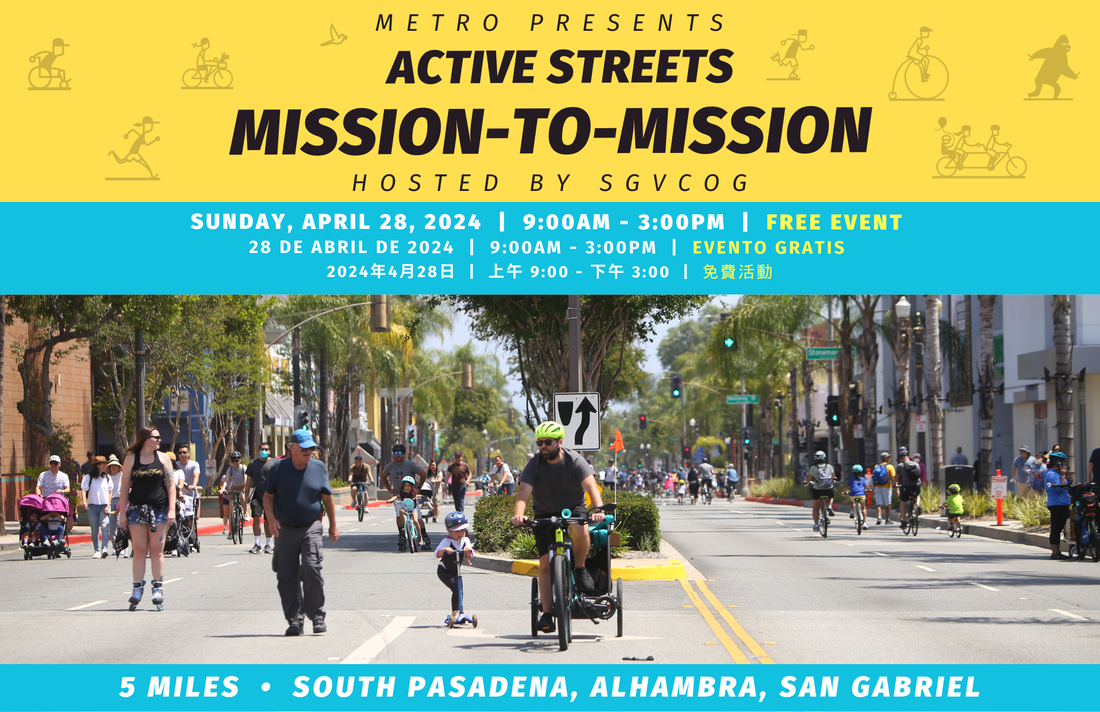
Active Streets Mission-to-Mission, LAPD reports on its use of force in 2023, Pasadena Transit plans, Metro subway construction, and more