Area Streetsblog Writer Struggles Mightily with Planner-ese with LA/2B Staff and Planning Students from UCLA
I am not a planner.
This will not come as a surprise to those of you who are familiar with my writing.
I am not ashamed of that or the fact that it means I have a lot of catch-up to do with regard to figuring out how to decipher what the city's intentions for South L.A. are.
But it does mean I often find myself feeling very stupid when confronted with seemingly simple questions.
Framed too narrowly or in a way that differs from the way I experience or process the world, queries as basic as, "What are the unique transit needs of a particular group?" can leave me stuttering and struggling to weave together what I understand to be very complex and conditional threads into a simplified conceptual package, as it did while I was speaking at the Women, Transit, and Los Angeles: Claiming a Safer Multi-modal Community event held at UCLA last night.
Even though I had had a few days to think about it, and spend a lot of time dedicated to writing about why current planning approaches are not always a good fit for the needs of South L.A., I found myself tripping up when it came to figuring out what kind of answers the organizers (graduate students in planning) were looking for.
In the end, I walked away feeling like I hadn't said much of value or been able to communicate the things I had wanted to in a way that felt true to my experience or the needs of the communities I cover.
Which kinda sucked.
But it happens a lot. And not just to me.
I've got a number of planning meetings and hearings under my belt now and, the truth is, they generally tend to be wholly unsatisfactory experiences for many of the community members who, like me, have ideas about things they desperately want to see happen in their communities but have no clue as to how to relate their ideas to the maps, charts, feedback expectations, and frames of reference of the Planning Department.
This was most recently true at Monday's Environmental Impact Report (EIR) scoping meetings for LA/2B.
LA/2B, a project of the Los Angeles Departments of City Planning and Transportation, is the effort to revise the Mobility Element of the General Plan for the city. The goal is to create a vision for a new way of moving vehicles, bikes, and pedestrians around the city that allows for streets to be as much about community, health, safety, and access as about mobility.
A year and a half into the update process, the LA/2B team is now looking to solicit feedback from the public regarding the kinds of questions they would like to see addressed in the EIR. The EIR will analyze the environmental (traffic, air quality, noise, etc.) impacts of the updates to the Mobility Element, identify ways to lessen impacts, and clarify environmental issues and choices. It also serves as a resource for the planners, who use it when making decisions about whether or not to approve, deny or amend projects to mitigate any negative impacts.
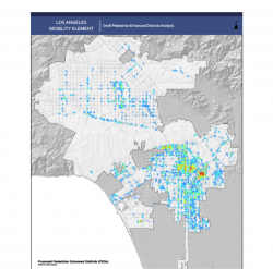
Gathering feedback about the corridors and districts selected to be part of the Vehicle-Enhanced Networks (VENs), Bicycle-Enhanced Networks (BENs), Transit-Enhanced Networks (TENs) and Pedestrian-Enhanced Districts (PEDs) (see docs/maps here) is the last participatory stage before the presentation of the Draft EIR and Draft Plan, scheduled for this fall.
Although the process seems logical, looking at the maps of the districts and networks posted up around the room at Monday's sparsely attended scoping meeting, it was hard to know what feedback to offer that would fall within the category of environmental impacts.
I looked at the maps and thought, "I got nothin.'"
Instead, it was clear that some of the indicators used to identify areas of need for things like PEDs -- park proximity, job density, retail job concentrations, and concentration of landmark destinations -- put South L.A. right out of the running for improvements.
The lack of jobs, park space, and landmarks that have been successfully marketed as destinations to outsiders to the community makes South L.A. appear to be a poor investment for the city. Yet, without improvements to the infrastructure of the area, it is unlikely that developers will want to make the investments that would bring jobs and density to the area.
It's an unhappy Catch-22 that helps explain the decades of stasis in the area.
And, it had Tafarai Bayne of TRUST South L.A. and Alex Campbell and Andres Ramirez of Community Health Councils very concerned. Why not look at other factors like health disparities or lack of access to parks and other amenities as a basis for improvements, they wanted to know. Or think about linking pedestrian zones to affordable housing?
Their concerns echoed some of those found in a recent open letter from Los Angeles Walks' Executive Director Deborah Murphy who asked that planners "examine other indicators of pedestrian activity," "add enhancements beyond the sidewalk," "create pedestrian-friendly corridors between the districts," or "link districts in a pedestrian-enhanced network."
Environmental concerns, in other words, were the least of the issues.
They were the least of mine, as well.
It wasn't clear to me that the areas prioritized on the map were the ones the community would reap the most benefits from or be the most interested in seeing enhanced.
Take, for example, the intersection around Vernon and Vermont -- the only semi-highly prioritized intersection in South L.A. While in dire need of pedestrian and a gazillion other improvements, thanks to the narrowness of Vermont and the block-long, often filthy-but-half-empty, parking lot in front of the Numero Uno grocery and Swap Meet that make that southbound stretch feel like a bit of an unhealthy and unsafe wasteland, I don't know that that is the spot where the community would find the most utility in comprehensive enhancements like seating areas.
If the city were to engage the businesses there and find a way to recapture some of the parking lot for parklet space and assist the homeless that sometimes claim that space for their camper vans or shopping carts, perhaps that could make the area more attractive.
If not, planners might be better off figuring out where people already gather naturally and work to support those sites. Take a ride through the area in the late afternoon or evening, and you will find people coming together around the front doors of certain shops, storefront churches, or sites where street vendors regularly set up in the evening. On the weekends, you will find the sidewalks around 47th and Main are teeming with people and vendors -- an informal extension of the mini mall at 48th St. And along the historic strip of Central Ave. -- home to the Dunbar Hotel and site of the Central Ave. Jazz Festival -- you will find an area that is experiencing some redevelopment and has an active business association that would likely welcome pedestrian enhancements in their community with open arms.
Enhancements that facilitate and support these kinds of activities could go a long way to making the spaces people already enjoy safer and more inviting.
Or, enhancements could be piecemeal, fixing specific problems that communities have long complained about. Western Ave., for example, is in dire need of more crosswalks between intersections, as many streets "T" into it between King and Gage, meaning pedestrians have to walk 5 or 6 blocks to cross with a light. More lighting and other "deterrent" infrastructure around 29th St. or closer to Slauson might help mitigate the prostitution problem that residents have long-lobbied for assistance in combating.
In short, before looking at questions of what the environmental impacts will be, it seems like it might be best to first hold the data up against the dynamics of different communities and make sure the two are in sync.
All that said, I didn't leave any of that on a comment card.
It didn't seem to fit with what the meeting called for.
And, I don't know if it is too late in the process for the "Hold up! Can you take another approach to gathering data and drawing conclusions?" kind of feedback I and others seem to want to offer. Which I'm guessing it might be. And which again leaves me with the feeling that an opportunity for communication was lost because we are speaking different languages.
Do you have ideas or comments you'd like to contribute to the discussion on the proposed enhancements? Send your comments to my.la@lacity.org by May 6.
Stay in touch
Sign up for our free newsletter
More from Streetsblog Los Angeles
Eyes on the Street: New Lincoln Park Avenue Bike Lanes
The recently installed 1.25-mile long bikeway spans Lincoln Park Avenue, Flora Avenue, and Sierra Street - it's arguably the first new bike facility of the Measure HLA era


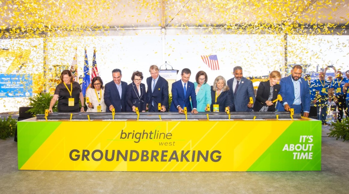
Brightline West Breaks Ground on Vegas to SoCal High-Speed Rail
Brightline West will be a 218-mile 186-mile-per-hour rail line from Vegas to Rancho Cucamonga - about 40 miles east of downtown L.A. - expected to open in 2028
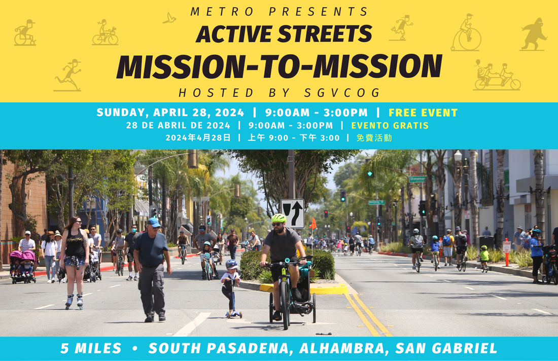
This Week In Livable Streets
Active Streets Mission-to-Mission, LAPD reports on its use of force in 2023, Pasadena Transit plans, Metro subway construction, and more